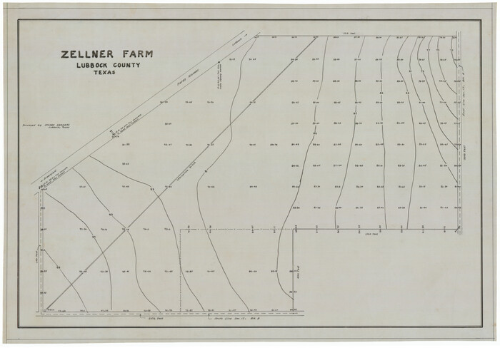
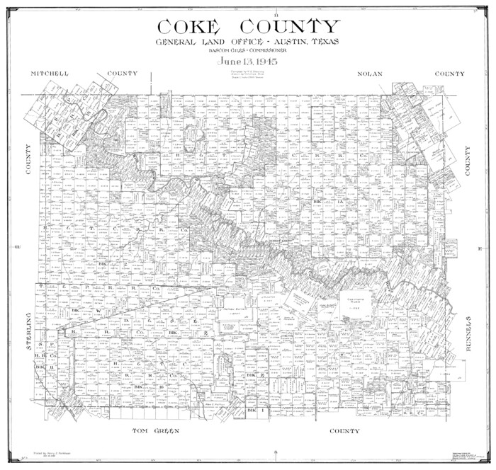
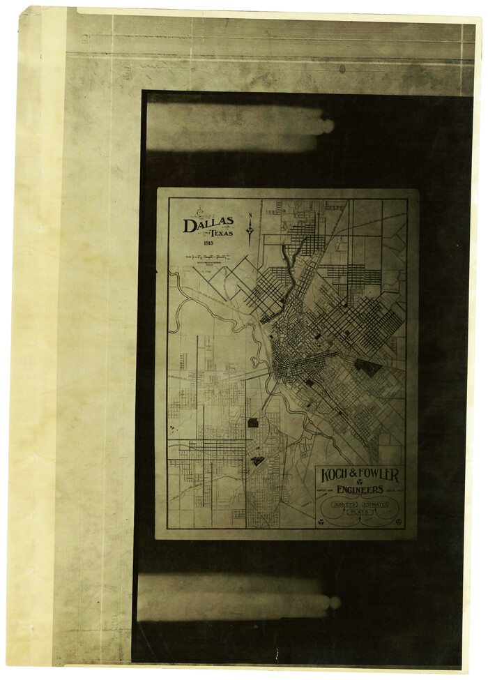
[W. T. Brewer: M. McDonald, Ralph Gilpin, A. Vanhooser, John Baker, John R. Taylor Surveys]
129-13
-
Map/Doc
90965
-
Collection
Twichell Survey Records
-
Counties
Kaufman
-
Height x Width
8.9 x 11.3 inches
22.6 x 28.7 cm
Part of: Twichell Survey Records
Amherst Independent School District Situated in Lamb County, Texas


Print $20.00
- Digital $50.00
Amherst Independent School District Situated in Lamb County, Texas
Size 25.0 x 18.9 inches
Map/Doc 92203
[Unorganized County School Land Leagues 284 - 317]
![90854, [Unorganized County School Land Leagues 284 - 317], Twichell Survey Records](https://historictexasmaps.com/wmedia_w700/maps/90854-2.tif.jpg)
![90854, [Unorganized County School Land Leagues 284 - 317], Twichell Survey Records](https://historictexasmaps.com/wmedia_w700/maps/90854-2.tif.jpg)
Print $20.00
- Digital $50.00
[Unorganized County School Land Leagues 284 - 317]
1902
Size 29.2 x 21.3 inches
Map/Doc 90854
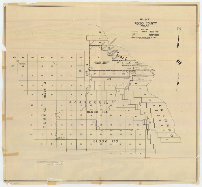
Plat in Pecos County, Texas

Print $20.00
- Digital $50.00
Plat in Pecos County, Texas
Size 39.1 x 36.2 inches
Map/Doc 89830
[Sketch showing Jeff Davis County, Blocks 1, 2, 3, 4, 360, 363 and JG1]
![91776, [Sketch showing Jeff Davis County, Blocks 1, 2, 3, 4, 360, 363 and JG1], Twichell Survey Records](https://historictexasmaps.com/wmedia_w700/maps/91776-1.tif.jpg)
![91776, [Sketch showing Jeff Davis County, Blocks 1, 2, 3, 4, 360, 363 and JG1], Twichell Survey Records](https://historictexasmaps.com/wmedia_w700/maps/91776-1.tif.jpg)
Print $20.00
- Digital $50.00
[Sketch showing Jeff Davis County, Blocks 1, 2, 3, 4, 360, 363 and JG1]
Size 20.5 x 13.7 inches
Map/Doc 91776
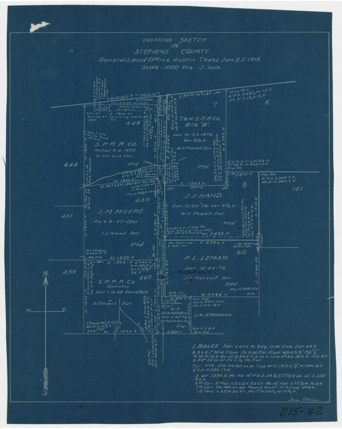
Working Sketch in Stephens County

Print $2.00
- Digital $50.00
Working Sketch in Stephens County
1919
Size 9.1 x 11.2 inches
Map/Doc 91910
Subdivision Map of Floyd County School Land Situated in Bailey County, Texas


Print $20.00
- Digital $50.00
Subdivision Map of Floyd County School Land Situated in Bailey County, Texas
Size 20.5 x 25.1 inches
Map/Doc 92530
[Blocks T2, T3, and K13]
![90989, [Blocks T2, T3, and K13], Twichell Survey Records](https://historictexasmaps.com/wmedia_w700/maps/90989-1.tif.jpg)
![90989, [Blocks T2, T3, and K13], Twichell Survey Records](https://historictexasmaps.com/wmedia_w700/maps/90989-1.tif.jpg)
Print $20.00
- Digital $50.00
[Blocks T2, T3, and K13]
Size 20.6 x 19.8 inches
Map/Doc 90989
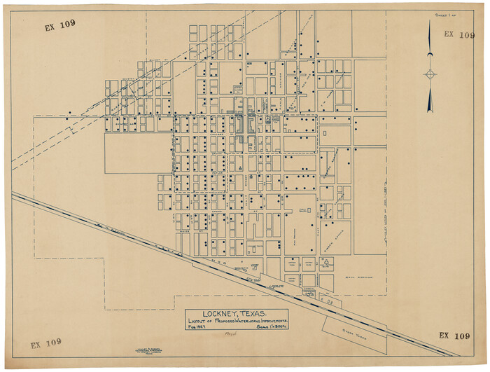
Lockney, Texas. Layout of Proposed Waterworks Improvements

Print $20.00
- Digital $50.00
Lockney, Texas. Layout of Proposed Waterworks Improvements
1927
Size 30.8 x 23.4 inches
Map/Doc 92643
Leagues 218, 220, 238- 241, 226- 229]
![91066, Leagues 218, 220, 238- 241, 226- 229], Twichell Survey Records](https://historictexasmaps.com/wmedia_w700/maps/91066-1.tif.jpg)
![91066, Leagues 218, 220, 238- 241, 226- 229], Twichell Survey Records](https://historictexasmaps.com/wmedia_w700/maps/91066-1.tif.jpg)
Print $20.00
- Digital $50.00
Leagues 218, 220, 238- 241, 226- 229]
Size 10.3 x 33.7 inches
Map/Doc 91066
Waco Manufacturing Company Block 1, G. H. & H. Block 5, Capitol Leagues 229, 230, 234-237]
![90726, Waco Manufacturing Company Block 1, G. H. & H. Block 5, Capitol Leagues 229, 230, 234-237], Twichell Survey Records](https://historictexasmaps.com/wmedia_w700/maps/90726-1.tif.jpg)
![90726, Waco Manufacturing Company Block 1, G. H. & H. Block 5, Capitol Leagues 229, 230, 234-237], Twichell Survey Records](https://historictexasmaps.com/wmedia_w700/maps/90726-1.tif.jpg)
Print $20.00
- Digital $50.00
Waco Manufacturing Company Block 1, G. H. & H. Block 5, Capitol Leagues 229, 230, 234-237]
1902
Size 14.5 x 21.6 inches
Map/Doc 90726
[T. & P. Blocks 31-33, Township 5N]
![90569, [T. & P. Blocks 31-33, Township 5N], Twichell Survey Records](https://historictexasmaps.com/wmedia_w700/maps/90569-1.tif.jpg)
![90569, [T. & P. Blocks 31-33, Township 5N], Twichell Survey Records](https://historictexasmaps.com/wmedia_w700/maps/90569-1.tif.jpg)
Print $20.00
- Digital $50.00
[T. & P. Blocks 31-33, Township 5N]
Size 14.6 x 17.9 inches
Map/Doc 90569
You may also like
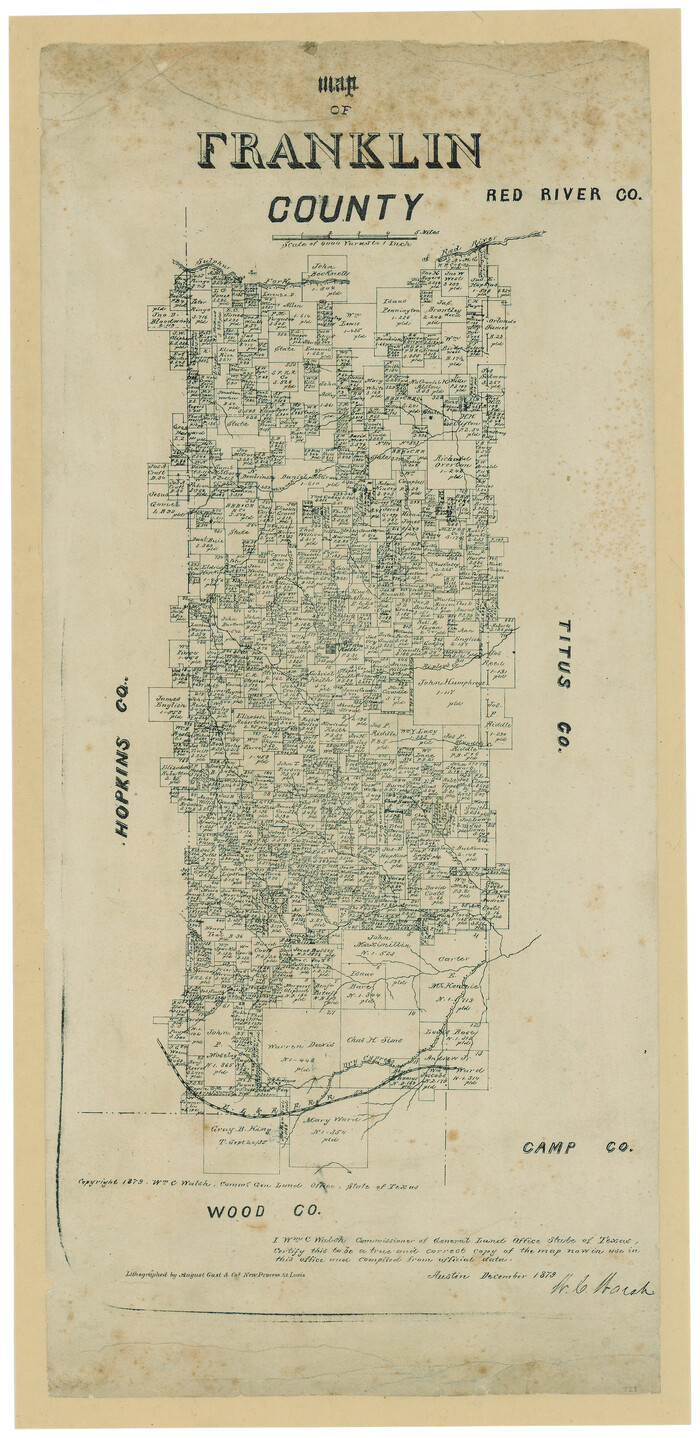
Map of Franklin County, Texas

Print $20.00
- Digital $50.00
Map of Franklin County, Texas
1879
Size 23.4 x 11.3 inches
Map/Doc 728
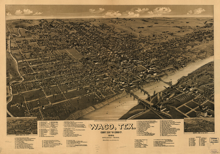
Waco, Tex., County Seat of McLennan Co.

Print $20.00
Waco, Tex., County Seat of McLennan Co.
1886
Size 16.9 x 30.7 inches
Map/Doc 93473
Nolan County Working Sketch 2
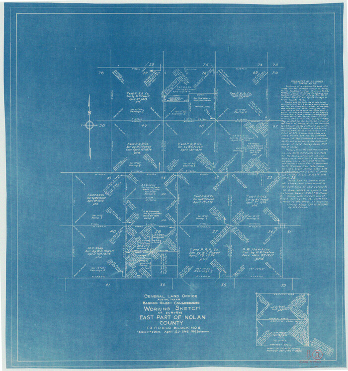

Print $20.00
- Digital $50.00
Nolan County Working Sketch 2
1943
Size 26.7 x 25.0 inches
Map/Doc 71293
Wilson County Sketch File 10


Print $4.00
- Digital $50.00
Wilson County Sketch File 10
Size 6.7 x 6.2 inches
Map/Doc 40417
Official Map of the State of Texas to accompany the Statistical and Descriptive Work, "Resources, Soil and Climate of Texas"
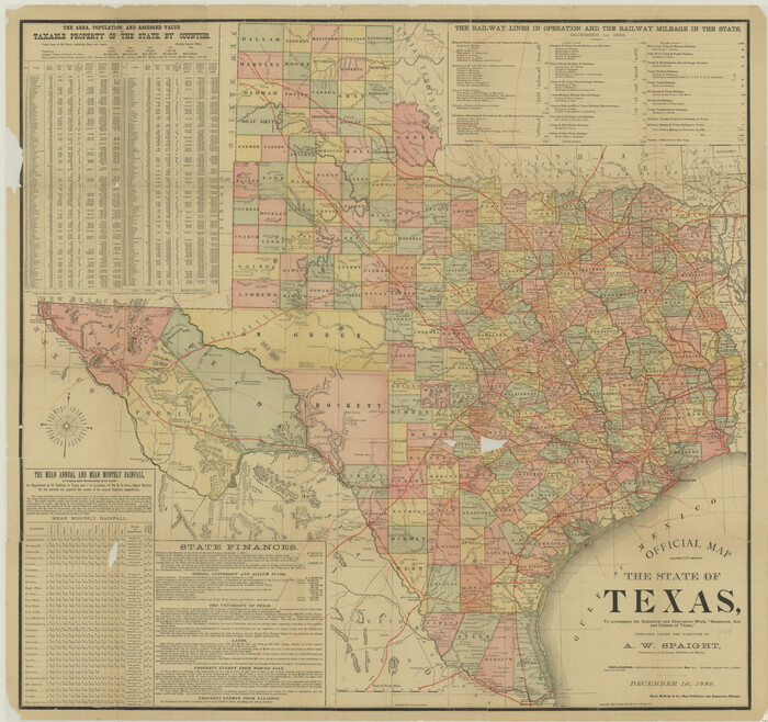

Print $20.00
Official Map of the State of Texas to accompany the Statistical and Descriptive Work, "Resources, Soil and Climate of Texas"
1882
Size 32.3 x 34.4 inches
Map/Doc 76257
1968 Texas Official State Highway Map
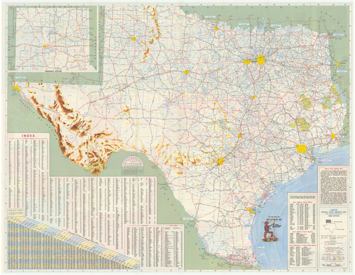

Digital $50.00
1968 Texas Official State Highway Map
Size 28.2 x 36.3 inches
Map/Doc 94320
Railroad Track Map, H&TCRRCo., Falls County, Texas
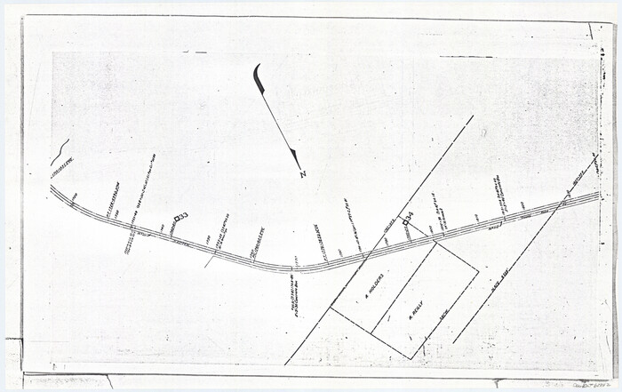

Print $4.00
- Digital $50.00
Railroad Track Map, H&TCRRCo., Falls County, Texas
1918
Size 11.7 x 18.5 inches
Map/Doc 62842
Brewster County Sketch File N-17


Print $80.00
- Digital $50.00
Brewster County Sketch File N-17
1939
Size 8.9 x 14.4 inches
Map/Doc 15651
Denton County Boundary File 2
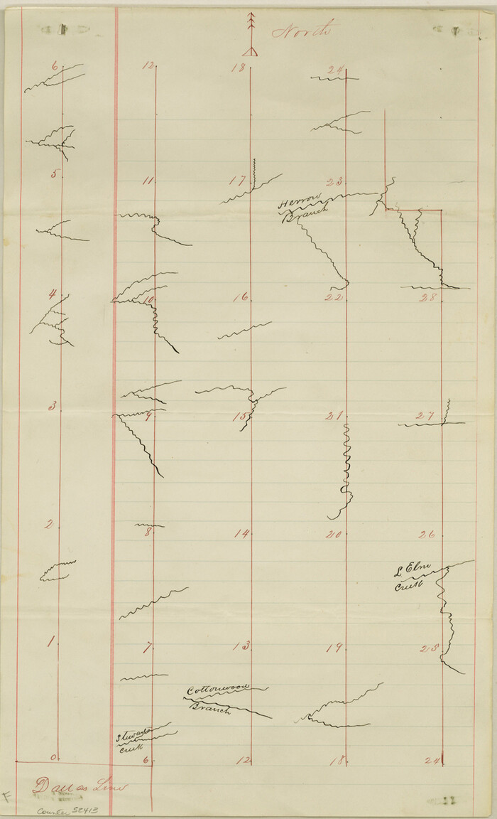

Print $22.00
- Digital $50.00
Denton County Boundary File 2
Size 14.1 x 8.5 inches
Map/Doc 52413
East Part of Liberty Co.
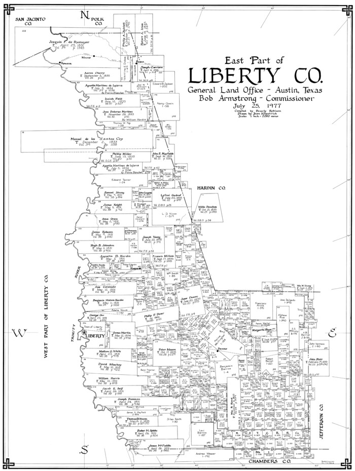

Print $20.00
- Digital $50.00
East Part of Liberty Co.
1977
Size 41.0 x 30.9 inches
Map/Doc 77352
![90965, [W. T. Brewer: M. McDonald, Ralph Gilpin, A. Vanhooser, John Baker, John R. Taylor Surveys], Twichell Survey Records](https://historictexasmaps.com/wmedia_w1800h1800/maps/90965-1.tif.jpg)
