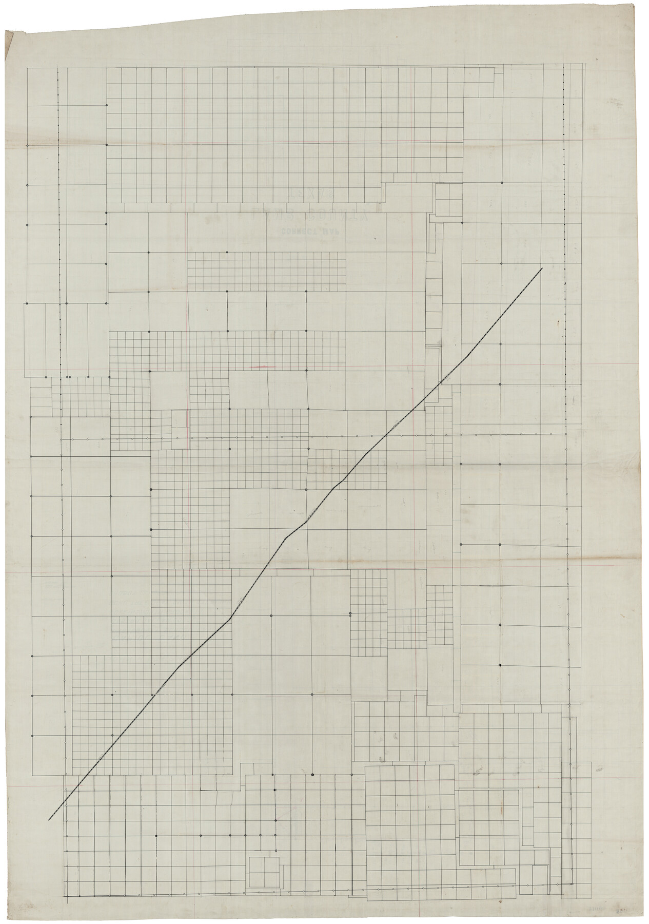
Correct Map Lamb County (skeleton sketch)
56-47
-
Map/Doc
93140
-
Collection
Twichell Survey Records
-
Counties
Dallam
-
Height x Width
56.3 x 79.2 inches
143.0 x 201.2 cm
-
Comments
Shows outlines of surveys but little else. (See counter 93140 for reverse)
Part of: Twichell Survey Records
[H. & G. N. Block 28]
![90344, [H. & G. N. Block 28], Twichell Survey Records](https://historictexasmaps.com/wmedia_w700/maps/90344-1.tif.jpg)
Print $20.00
- Digital $50.00
[H. & G. N. Block 28]
Size 25.1 x 31.2 inches
Map/Doc 90344
[Aaron Cherry and A. M. de Lejarza Surveys on the Trinity River]
![91080, [Aaron Cherry and A. M. de Lejarza Surveys on the Trinity River], Twichell Survey Records](https://historictexasmaps.com/wmedia_w700/maps/91080-1.tif.jpg)
Print $20.00
- Digital $50.00
[Aaron Cherry and A. M. de Lejarza Surveys on the Trinity River]
Size 26.3 x 14.1 inches
Map/Doc 91080
[Sketch showing county line between Randall and Potter Counties]
![91760, [Sketch showing county line between Randall and Potter Counties], Twichell Survey Records](https://historictexasmaps.com/wmedia_w700/maps/91760-1.tif.jpg)
Print $20.00
- Digital $50.00
[Sketch showing county line between Randall and Potter Counties]
Size 18.8 x 37.0 inches
Map/Doc 91760
Sketch in Terry & Yoakum Counties

Print $20.00
- Digital $50.00
Sketch in Terry & Yoakum Counties
1945
Size 21.8 x 40.0 inches
Map/Doc 92854
[R. M. Thompson Block T2 and John H. Stephens Block S2 Conflict]
![91056, [R. M. Thompson Block T2 and John H. Stephens Block S2 Conflict], Twichell Survey Records](https://historictexasmaps.com/wmedia_w700/maps/91056-1.tif.jpg)
Print $20.00
- Digital $50.00
[R. M. Thompson Block T2 and John H. Stephens Block S2 Conflict]
Size 20.9 x 30.6 inches
Map/Doc 91056
![90595, [Block K7], Twichell Survey Records](https://historictexasmaps.com/wmedia_w700/maps/90595-1.tif.jpg)
![89869, [Morton], Twichell Survey Records](https://historictexasmaps.com/wmedia_w700/maps/89869-1.tif.jpg)
Sectional Map of Martin County, Texas

Print $3.00
- Digital $50.00
Sectional Map of Martin County, Texas
Size 9.6 x 12.1 inches
Map/Doc 91293
[Section 35 1/2, Block C-41]
![92967, [Section 35 1/2, Block C-41], Twichell Survey Records](https://historictexasmaps.com/wmedia_w700/maps/92967-1.tif.jpg)
Print $20.00
- Digital $50.00
[Section 35 1/2, Block C-41]
1951
Size 23.9 x 9.2 inches
Map/Doc 92967
[I. & G. N. Block 1, Secs. 65-75]
![90305, [I. & G. N. Block 1, Secs. 65-75], Twichell Survey Records](https://historictexasmaps.com/wmedia_w700/maps/90305-1.tif.jpg)
Print $20.00
- Digital $50.00
[I. & G. N. Block 1, Secs. 65-75]
1928
Size 24.6 x 21.5 inches
Map/Doc 90305
Map of Terry County

Print $2.00
- Digital $50.00
Map of Terry County
Size 7.7 x 8.4 inches
Map/Doc 92887
[Block XR, Capitol Leagues 161, 162, 164, 174, 178, 179, and 180]
![90729, [Block XR, Capitol Leagues 161, 162, 164, 174, 178, 179, and 180], Twichell Survey Records](https://historictexasmaps.com/wmedia_w700/maps/90729-1.tif.jpg)
Print $20.00
- Digital $50.00
[Block XR, Capitol Leagues 161, 162, 164, 174, 178, 179, and 180]
1908
Size 13.1 x 21.6 inches
Map/Doc 90729
You may also like
Old Miscellaneous File 38

Print $40.00
- Digital $50.00
Old Miscellaneous File 38
1841
Size 57.8 x 33.9 inches
Map/Doc 75282
Map of Navarro County, Texas

Print $20.00
- Digital $50.00
Map of Navarro County, Texas
1871
Size 23.5 x 28.7 inches
Map/Doc 662
Red River County Working Sketch 52

Print $20.00
- Digital $50.00
Red River County Working Sketch 52
1971
Size 35.5 x 24.7 inches
Map/Doc 72035
Harrison County Rolled Sketch 13

Print $20.00
- Digital $50.00
Harrison County Rolled Sketch 13
1967
Size 32.5 x 28.3 inches
Map/Doc 6156
Flight Mission No. BRE-3P, Frame 92, Nueces County

Print $20.00
- Digital $50.00
Flight Mission No. BRE-3P, Frame 92, Nueces County
1956
Size 18.6 x 22.5 inches
Map/Doc 86823
Plat made for W. D. Twichell

Print $20.00
- Digital $50.00
Plat made for W. D. Twichell
1919
Size 25.0 x 15.7 inches
Map/Doc 91916
Collin County Boundary File 18e

Print $16.00
- Digital $50.00
Collin County Boundary File 18e
Size 6.8 x 8.1 inches
Map/Doc 51749
Brown County Sketch File 29

Print $6.00
- Digital $50.00
Brown County Sketch File 29
1924
Size 14.3 x 8.9 inches
Map/Doc 16628
Right-of-Way and Track Map, Houston and Brazos Valley Ry. Co. operated by the Houston and Brazos Valley Ry. Co.

Print $40.00
- Digital $50.00
Right-of-Way and Track Map, Houston and Brazos Valley Ry. Co. operated by the Houston and Brazos Valley Ry. Co.
1918
Size 24.9 x 56.5 inches
Map/Doc 64608
Copy of a portion of Arista's map

Print $20.00
- Digital $50.00
Copy of a portion of Arista's map
1847
Size 27.5 x 18.3 inches
Map/Doc 73058
[Atchison, Topeka & Santa Fe from Paisano to south of Plata]
![64711, [Atchison, Topeka & Santa Fe from Paisano to south of Plata], General Map Collection](https://historictexasmaps.com/wmedia_w700/maps/64711-1.tif.jpg)
Print $40.00
- Digital $50.00
[Atchison, Topeka & Santa Fe from Paisano to south of Plata]
Size 34.8 x 123.1 inches
Map/Doc 64711
Briscoe County Sketch File K

Print $40.00
- Digital $50.00
Briscoe County Sketch File K
1920
Size 31.9 x 21.0 inches
Map/Doc 11008