[Morton]
CO102
-
Map/Doc
89869
-
Collection
Twichell Survey Records
-
Counties
Cochran
-
Height x Width
44.1 x 49.5 inches
112.0 x 125.7 cm
Part of: Twichell Survey Records
[Blocks O5, A, T1, T2, T3 and vicinity]
![92201, [Blocks O5, A, T1, T2, T3 and vicinity], Twichell Survey Records](https://historictexasmaps.com/wmedia_w700/maps/92201-1.tif.jpg)
![92201, [Blocks O5, A, T1, T2, T3 and vicinity], Twichell Survey Records](https://historictexasmaps.com/wmedia_w700/maps/92201-1.tif.jpg)
Print $20.00
- Digital $50.00
[Blocks O5, A, T1, T2, T3 and vicinity]
Size 20.2 x 23.0 inches
Map/Doc 92201
[L. C. Dennison and other surveys to the east, south of the south line of T. & P. Blocks 4 and 6]
![93050, [L. C. Dennison and other surveys to the east, south of the south line of T. & P. Blocks 4 and 6], Twichell Survey Records](https://historictexasmaps.com/wmedia_w700/maps/93050-1.tif.jpg)
![93050, [L. C. Dennison and other surveys to the east, south of the south line of T. & P. Blocks 4 and 6], Twichell Survey Records](https://historictexasmaps.com/wmedia_w700/maps/93050-1.tif.jpg)
Print $20.00
- Digital $50.00
[L. C. Dennison and other surveys to the east, south of the south line of T. & P. Blocks 4 and 6]
1919
Size 32.1 x 17.6 inches
Map/Doc 93050
Sketch in Terry & Yoakum Counties
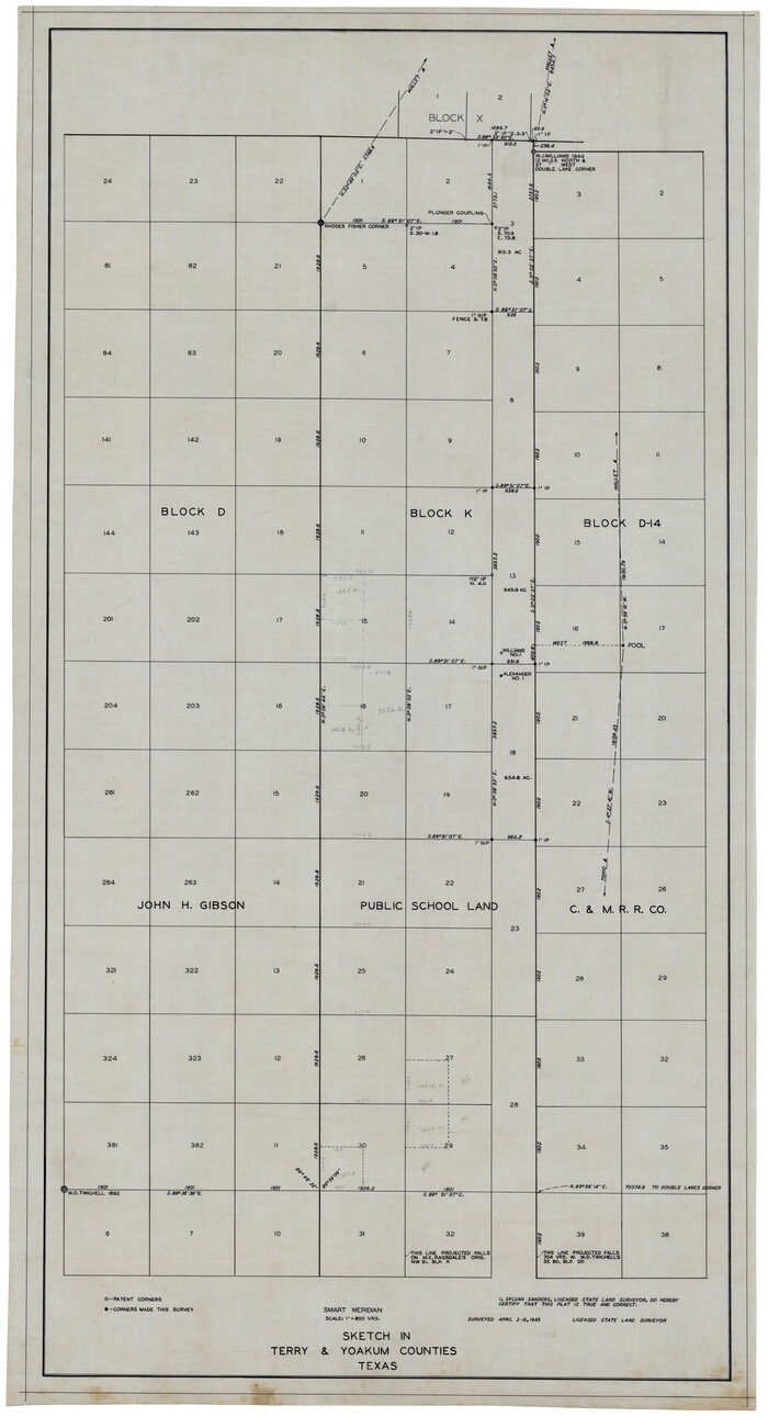

Print $20.00
- Digital $50.00
Sketch in Terry & Yoakum Counties
1945
Size 21.8 x 40.0 inches
Map/Doc 92854
A Map of California with Descriptive Notes


A Map of California with Descriptive Notes
1954
Size 29.5 x 37.6 inches
Map/Doc 92394
[Block N and part of Block B]
![90363, [Block N and part of Block B], Twichell Survey Records](https://historictexasmaps.com/wmedia_w700/maps/90363-1.tif.jpg)
![90363, [Block N and part of Block B], Twichell Survey Records](https://historictexasmaps.com/wmedia_w700/maps/90363-1.tif.jpg)
Print $3.00
- Digital $50.00
[Block N and part of Block B]
Size 9.6 x 12.8 inches
Map/Doc 90363
Reeves County
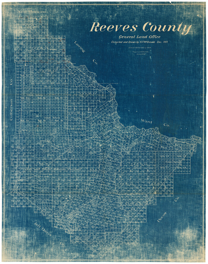

Print $20.00
- Digital $50.00
Reeves County
1915
Size 23.6 x 29.8 inches
Map/Doc 92896
Block 32, Township 4 North


Print $20.00
- Digital $50.00
Block 32, Township 4 North
Size 17.5 x 25.3 inches
Map/Doc 92507
Working Sketch in Wichita County


Print $20.00
- Digital $50.00
Working Sketch in Wichita County
1919
Size 14.1 x 27.0 inches
Map/Doc 91993
Grimes Estate Lands, Cochran County, Texas


Print $20.00
- Digital $50.00
Grimes Estate Lands, Cochran County, Texas
Size 25.6 x 21.6 inches
Map/Doc 92520
Map of Geo. W. Littlefield's Ranch Located on State Capitol Leagues 657-736 Situated in Lamb and Hockley Counties
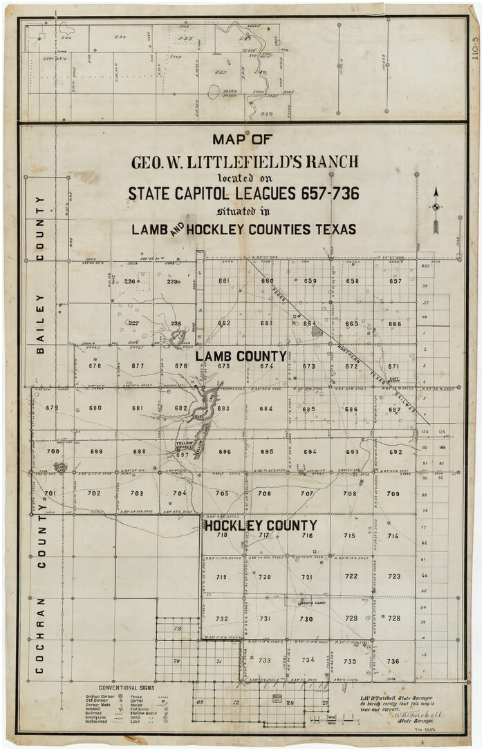

Print $20.00
- Digital $50.00
Map of Geo. W. Littlefield's Ranch Located on State Capitol Leagues 657-736 Situated in Lamb and Hockley Counties
Size 29.7 x 45.6 inches
Map/Doc 91223
[Sketch showing Blocks B5 and B6 and Capitol Land Reservation]
![89973, [Sketch showing Blocks B5 and B6 and Capitol Land Reservation], Twichell Survey Records](https://historictexasmaps.com/wmedia_w700/maps/89973-1.tif.jpg)
![89973, [Sketch showing Blocks B5 and B6 and Capitol Land Reservation], Twichell Survey Records](https://historictexasmaps.com/wmedia_w700/maps/89973-1.tif.jpg)
Print $20.00
- Digital $50.00
[Sketch showing Blocks B5 and B6 and Capitol Land Reservation]
Size 46.3 x 41.9 inches
Map/Doc 89973
Sketch in Terry, Yoakum, Dawson and Gaines Co's.
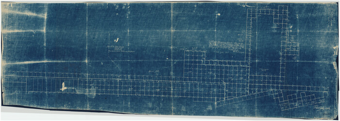

Print $40.00
- Digital $50.00
Sketch in Terry, Yoakum, Dawson and Gaines Co's.
1902
Size 72.8 x 26.4 inches
Map/Doc 89782
You may also like
Chambers County Sketch File 20


Print $4.00
- Digital $50.00
Chambers County Sketch File 20
Size 9.2 x 7.4 inches
Map/Doc 17591
Connected Map of Austin's Colony
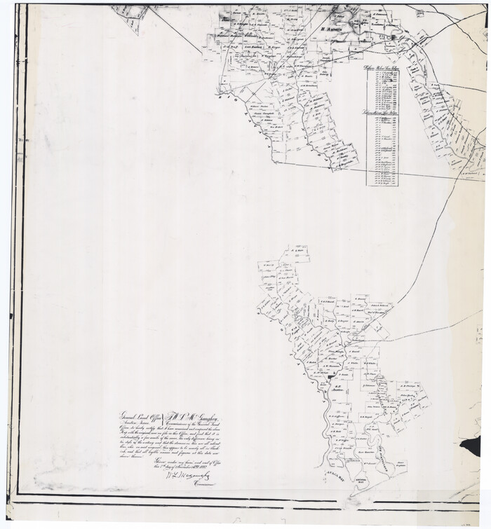

Print $20.00
- Digital $50.00
Connected Map of Austin's Colony
1892
Size 46.9 x 43.5 inches
Map/Doc 76076
Webb County Boundary File 2
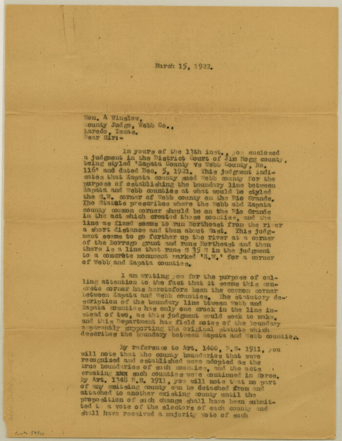

Print $12.00
- Digital $50.00
Webb County Boundary File 2
Size 11.3 x 8.7 inches
Map/Doc 59710
Nueces County Rolled Sketch 106
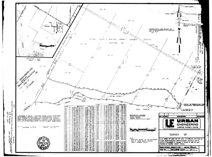

Print $104.00
Nueces County Rolled Sketch 106
1986
Size 18.2 x 24.6 inches
Map/Doc 7097
Howard County Sketch File 2a


Print $20.00
- Digital $50.00
Howard County Sketch File 2a
1909
Size 32.8 x 25.6 inches
Map/Doc 11792
Working Sketch in Stephens County


Print $2.00
- Digital $50.00
Working Sketch in Stephens County
1919
Size 9.2 x 11.4 inches
Map/Doc 91911
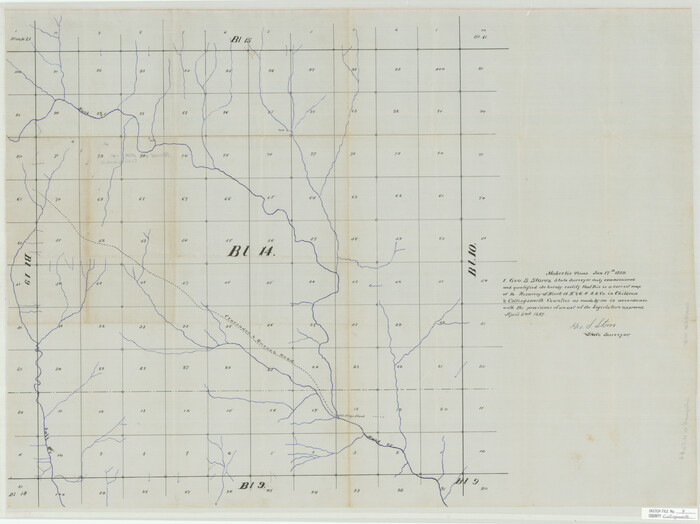
Collingsworth County Sketch File 4

Print $20.00
- Digital $50.00
Collingsworth County Sketch File 4
1889
Size 23.4 x 31.3 inches
Map/Doc 11131
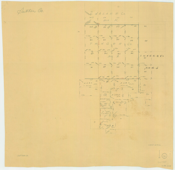
Sutton County Working Sketch 26

Print $20.00
- Digital $50.00
Sutton County Working Sketch 26
Size 24.0 x 24.7 inches
Map/Doc 62369
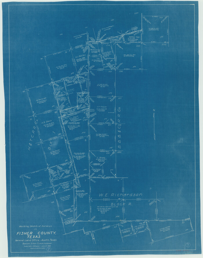
Fisher County Working Sketch 7

Print $20.00
- Digital $50.00
Fisher County Working Sketch 7
1944
Size 36.7 x 28.9 inches
Map/Doc 69141
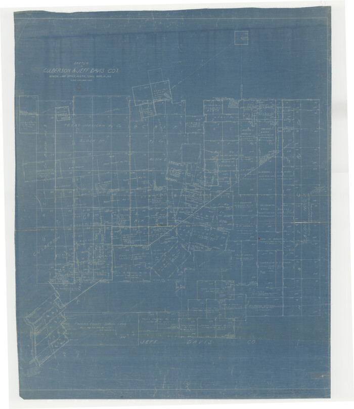
Culberson County Working Sketch 9

Print $20.00
- Digital $50.00
Culberson County Working Sketch 9
1915
Size 41.5 x 35.9 inches
Map/Doc 68461
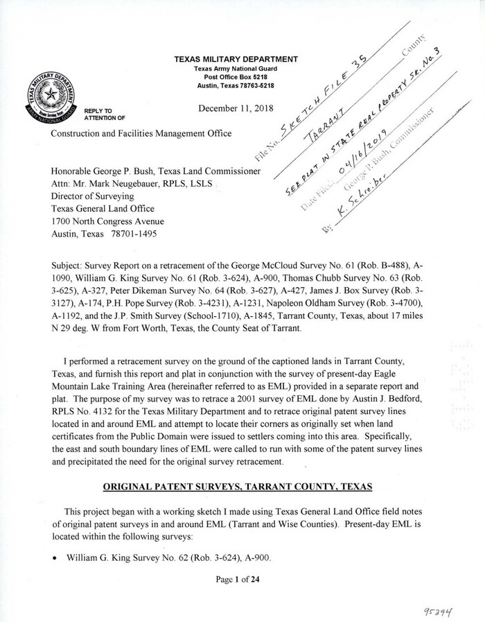
Tarrant County Sketch File 35

Print $50.00
Tarrant County Sketch File 35
2018
Size 11.0 x 8.5 inches
Map/Doc 95394
![89869, [Morton], Twichell Survey Records](https://historictexasmaps.com/wmedia_w1800h1800/maps/89869-1.tif.jpg)
