[Blocks M27 and 1T along border with Oklahoma (North line of County)]
56-9
-
Map/Doc
93144
-
Collection
Twichell Survey Records
-
People and Organizations
W.D. Twichell (Surveyor/Engineer)
-
Counties
Dallam
-
Height x Width
107.3 x 8.6 inches
272.5 x 21.8 cm
Part of: Twichell Survey Records
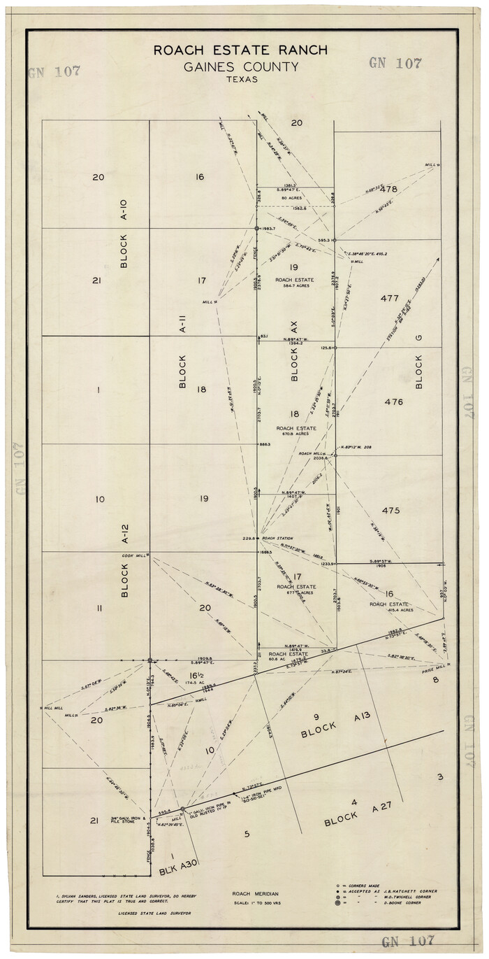
Roach Estate Ranch, Gaines County, Texas

Print $20.00
- Digital $50.00
Roach Estate Ranch, Gaines County, Texas
Size 18.0 x 34.6 inches
Map/Doc 92681
Dawson County Sketch


Print $20.00
- Digital $50.00
Dawson County Sketch
Size 37.0 x 20.5 inches
Map/Doc 92628
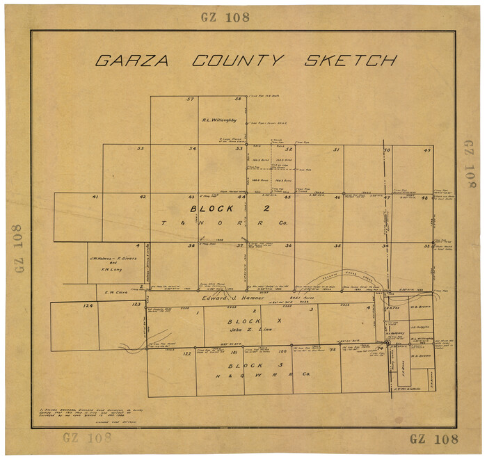
Garza County Sketch

Print $20.00
- Digital $50.00
Garza County Sketch
1924
Size 19.6 x 18.4 inches
Map/Doc 92701
[Jesse Folk and Surrounding Surveys]
![91087, [Jesse Folk and Surrounding Surveys], Twichell Survey Records](https://historictexasmaps.com/wmedia_w700/maps/91087-1.tif.jpg)
![91087, [Jesse Folk and Surrounding Surveys], Twichell Survey Records](https://historictexasmaps.com/wmedia_w700/maps/91087-1.tif.jpg)
Print $20.00
- Digital $50.00
[Jesse Folk and Surrounding Surveys]
1922
Size 21.8 x 33.7 inches
Map/Doc 91087
[North 1/2 of Garza County, South 1/2 of Crosby County]
![90908, [North 1/2 of Garza County, South 1/2 of Crosby County], Twichell Survey Records](https://historictexasmaps.com/wmedia_w700/maps/90908-1.tif.jpg)
![90908, [North 1/2 of Garza County, South 1/2 of Crosby County], Twichell Survey Records](https://historictexasmaps.com/wmedia_w700/maps/90908-1.tif.jpg)
Print $20.00
- Digital $50.00
[North 1/2 of Garza County, South 1/2 of Crosby County]
Size 34.7 x 31.1 inches
Map/Doc 90908
[R. M. Thompson Blk. T]
![90409, [R. M. Thompson Blk. T], Twichell Survey Records](https://historictexasmaps.com/wmedia_w700/maps/90409-1.tif.jpg)
![90409, [R. M. Thompson Blk. T], Twichell Survey Records](https://historictexasmaps.com/wmedia_w700/maps/90409-1.tif.jpg)
Print $20.00
- Digital $50.00
[R. M. Thompson Blk. T]
Size 16.6 x 21.7 inches
Map/Doc 90409
Seminole Cemetery, Gaines County, Texas


Print $20.00
- Digital $50.00
Seminole Cemetery, Gaines County, Texas
Size 29.2 x 31.7 inches
Map/Doc 92690
[H. & T. C. RR. Co. Block 48 and vicinity]
![90647, [H. & T. C. RR. Co. Block 48 and vicinity], Twichell Survey Records](https://historictexasmaps.com/wmedia_w700/maps/90647-1.tif.jpg)
![90647, [H. & T. C. RR. Co. Block 48 and vicinity], Twichell Survey Records](https://historictexasmaps.com/wmedia_w700/maps/90647-1.tif.jpg)
Print $20.00
- Digital $50.00
[H. & T. C. RR. Co. Block 48 and vicinity]
Size 35.4 x 24.4 inches
Map/Doc 90647
[Sketch showing H. & G. N. Blk. 1]
![89634, [Sketch showing H. & G. N. Blk. 1], Twichell Survey Records](https://historictexasmaps.com/wmedia_w700/maps/89634-1.tif.jpg)
![89634, [Sketch showing H. & G. N. Blk. 1], Twichell Survey Records](https://historictexasmaps.com/wmedia_w700/maps/89634-1.tif.jpg)
Print $40.00
- Digital $50.00
[Sketch showing H. & G. N. Blk. 1]
Size 27.1 x 60.6 inches
Map/Doc 89634
[Blocks K3, K4, K7, K8, K14, M7, east part of Leagues]
![90592, [Blocks K3, K4, K7, K8, K14, M7, east part of Leagues], Twichell Survey Records](https://historictexasmaps.com/wmedia_w700/maps/90592-1.tif.jpg)
![90592, [Blocks K3, K4, K7, K8, K14, M7, east part of Leagues], Twichell Survey Records](https://historictexasmaps.com/wmedia_w700/maps/90592-1.tif.jpg)
Print $20.00
- Digital $50.00
[Blocks K3, K4, K7, K8, K14, M7, east part of Leagues]
Size 33.4 x 31.8 inches
Map/Doc 90592
[Surveys around the Martha Barker survey]
![90236, [Surveys around the Martha Barker survey], Twichell Survey Records](https://historictexasmaps.com/wmedia_w700/maps/90236-1.tif.jpg)
![90236, [Surveys around the Martha Barker survey], Twichell Survey Records](https://historictexasmaps.com/wmedia_w700/maps/90236-1.tif.jpg)
Print $20.00
- Digital $50.00
[Surveys around the Martha Barker survey]
Size 24.5 x 18.1 inches
Map/Doc 90236
You may also like
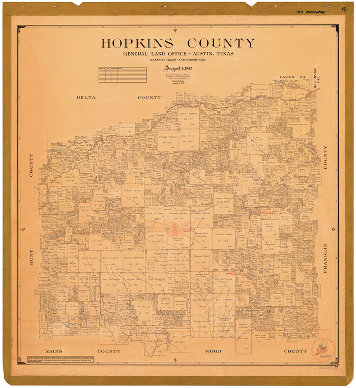
Hopkins County

Print $20.00
- Digital $50.00
Hopkins County
1942
Size 45.7 x 42.2 inches
Map/Doc 95533
Flight Mission No. CRC-1R, Frame 154, Chambers County


Print $20.00
- Digital $50.00
Flight Mission No. CRC-1R, Frame 154, Chambers County
1956
Size 18.9 x 22.5 inches
Map/Doc 84716
Haskell County


Print $20.00
- Digital $50.00
Haskell County
1933
Size 45.8 x 39.4 inches
Map/Doc 1852
Maps of Gulf Intracoastal Waterway, Texas - Sabine River to the Rio Grande and connecting waterways including ship channels


Print $20.00
- Digital $50.00
Maps of Gulf Intracoastal Waterway, Texas - Sabine River to the Rio Grande and connecting waterways including ship channels
1966
Size 14.5 x 22.2 inches
Map/Doc 61941
Flight Mission No. DCL-4C, Frame 66, Kenedy County


Print $20.00
- Digital $50.00
Flight Mission No. DCL-4C, Frame 66, Kenedy County
1943
Size 18.6 x 22.3 inches
Map/Doc 85811
McLennan County Sketch File 30


Print $4.00
- Digital $50.00
McLennan County Sketch File 30
Size 8.4 x 7.4 inches
Map/Doc 31304
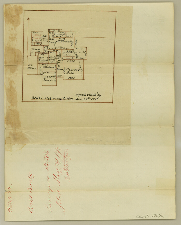
Cooke County Sketch File 24

Print $6.00
- Digital $50.00
Cooke County Sketch File 24
1871
Size 10.3 x 8.3 inches
Map/Doc 19272
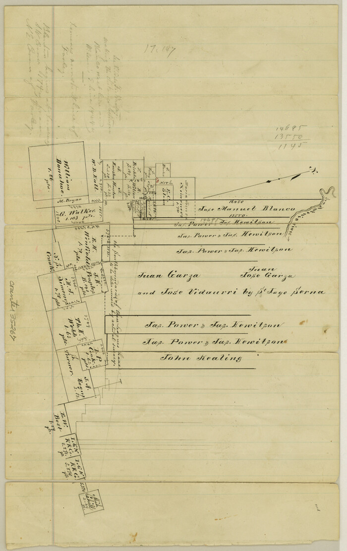
Refugio County Sketch File 14

Print $2.00
- Digital $50.00
Refugio County Sketch File 14
Size 12.8 x 8.1 inches
Map/Doc 35267
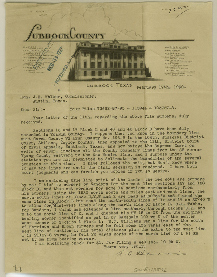
Cochran County Sketch File 5

Print $24.00
- Digital $50.00
Cochran County Sketch File 5
1932
Size 11.1 x 8.7 inches
Map/Doc 18542
Comanche County Sketch File 19 3/4

Print $40.00
- Digital $50.00
Comanche County Sketch File 19 3/4
Size 15.7 x 12.9 inches
Map/Doc 19101
![93144, [Blocks M27 and 1T along border with Oklahoma (North line of County)], Twichell Survey Records](https://historictexasmaps.com/wmedia_w1800h1800/maps/93144-1.tif.jpg)
