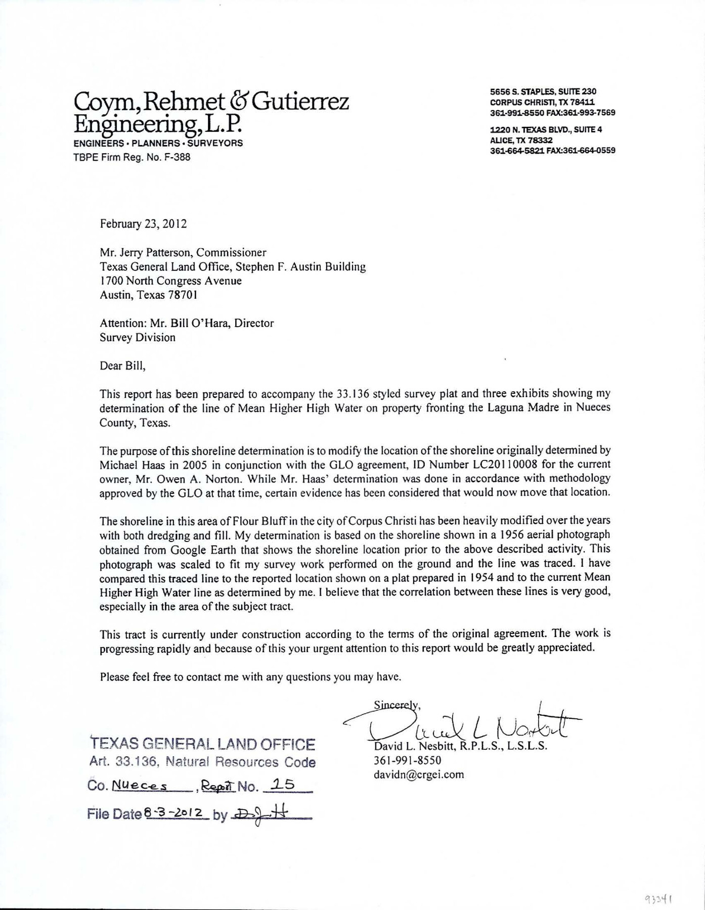
Nueces County NRC Article 33.136 Sketch 15
Coastal Boundary Survey showing the boundary along the Laguna Madre being a portion of the northwest line of the State of Texas submerged land tract no. 20 and the southeast line of a 2.189 acre tract of land
-
Map/Doc
93357
-
Collection
General Map Collection
-
Object Dates
2012/8/3 (File Date)
2012/5/15 (Creation Date)
-
People and Organizations
David L. Nesbitt (Surveyor/Engineer)
-
Counties
Nueces
-
Subjects
Surveying CBS
-
Height x Width
18.0 x 24.0 inches
45.7 x 61.0 cm
-
Medium
multi-page, multi-format
-
Comments
Project: Owen Norton Marina Project No.: LC20110008 (GLO)
Part of: General Map Collection
Terrell County Working Sketch 34

Print $20.00
- Digital $50.00
Terrell County Working Sketch 34
1945
Size 26.3 x 37.7 inches
Map/Doc 62126
Taylor County Working Sketch 11

Print $20.00
- Digital $50.00
Taylor County Working Sketch 11
1956
Size 23.0 x 24.4 inches
Map/Doc 69621
Val Verde County Sketch File 18

Print $8.00
- Digital $50.00
Val Verde County Sketch File 18
1883
Size 13.1 x 8.4 inches
Map/Doc 39225
Map of Georgia, Florida, Alabama, Mississippi and Tennessee engraved to illustrate Mitchell's new intermediate geography

Print $20.00
- Digital $50.00
Map of Georgia, Florida, Alabama, Mississippi and Tennessee engraved to illustrate Mitchell's new intermediate geography
1885
Size 12.2 x 9.0 inches
Map/Doc 93518
Crosby County Sketch File B

Print $20.00
- Digital $50.00
Crosby County Sketch File B
1877
Size 21.9 x 21.0 inches
Map/Doc 11259
Travis County Rolled Sketch 15

Print $20.00
- Digital $50.00
Travis County Rolled Sketch 15
1939
Size 25.4 x 37.6 inches
Map/Doc 10011
McLennan County

Print $20.00
- Digital $50.00
McLennan County
1946
Size 43.9 x 46.8 inches
Map/Doc 1887
Marion County Working Sketch 12

Print $20.00
- Digital $50.00
Marion County Working Sketch 12
1952
Size 24.5 x 34.2 inches
Map/Doc 70787
Township 6 South Range 13 West, South Western District, Louisiana

Print $20.00
- Digital $50.00
Township 6 South Range 13 West, South Western District, Louisiana
1879
Size 19.6 x 24.8 inches
Map/Doc 65886
[Surveys in Burleson County]
![78355, [Surveys in Burleson County], General Map Collection](https://historictexasmaps.com/wmedia_w700/maps/78355.tif.jpg)
Print $20.00
- Digital $50.00
[Surveys in Burleson County]
Size 19.6 x 28.3 inches
Map/Doc 78355
Brooks County Working Sketch 4

Print $20.00
- Digital $50.00
Brooks County Working Sketch 4
1906
Size 28.6 x 24.9 inches
Map/Doc 67788
Edwards County Rolled Sketch JF

Print $20.00
- Digital $50.00
Edwards County Rolled Sketch JF
1915
Size 25.2 x 30.5 inches
Map/Doc 5819
You may also like
Index sheet to accompany map of survey for connecting the inland waters along margin of the Gulf of Mexico from Donaldsonville in Louisiana to the Rio Grande River in Texas

Print $20.00
- Digital $50.00
Index sheet to accompany map of survey for connecting the inland waters along margin of the Gulf of Mexico from Donaldsonville in Louisiana to the Rio Grande River in Texas
1873
Size 18.2 x 28.2 inches
Map/Doc 72693
San Augustine County Sketch File 13a

Print $4.00
San Augustine County Sketch File 13a
1879
Size 8.9 x 14.5 inches
Map/Doc 35660
Glasscock County

Print $20.00
- Digital $50.00
Glasscock County
1933
Size 46.4 x 38.8 inches
Map/Doc 66838
Hamilton County Working Sketch 35

Print $20.00
- Digital $50.00
Hamilton County Working Sketch 35
Size 26.3 x 19.1 inches
Map/Doc 78286
Wilbarger County Sketch File A

Print $6.00
- Digital $50.00
Wilbarger County Sketch File A
Size 8.3 x 14.1 inches
Map/Doc 40231
Flight Mission No. BRE-1P, Frame 122, Nueces County

Print $20.00
- Digital $50.00
Flight Mission No. BRE-1P, Frame 122, Nueces County
1956
Size 18.7 x 22.7 inches
Map/Doc 86688
Topographical Map of the Rio Grande, Sheet No. 16

Print $20.00
- Digital $50.00
Topographical Map of the Rio Grande, Sheet No. 16
1912
Map/Doc 89540
Brazos Santiago, Texas

Print $20.00
- Digital $50.00
Brazos Santiago, Texas
1900
Size 18.3 x 26.8 inches
Map/Doc 73033
Secs. 58-69, I&GN Blk. 1

Print $20.00
- Digital $50.00
Secs. 58-69, I&GN Blk. 1
Size 27.5 x 25.3 inches
Map/Doc 91617
Rusk County Sketch File 32

Print $20.00
Rusk County Sketch File 32
1949
Size 33.5 x 28.4 inches
Map/Doc 10596
Mills County Working Sketch 11

Print $20.00
- Digital $50.00
Mills County Working Sketch 11
1930
Size 22.5 x 14.4 inches
Map/Doc 71041
Pecos County Rolled Sketch 90

Print $20.00
- Digital $50.00
Pecos County Rolled Sketch 90
1934
Size 26.7 x 33.9 inches
Map/Doc 7245