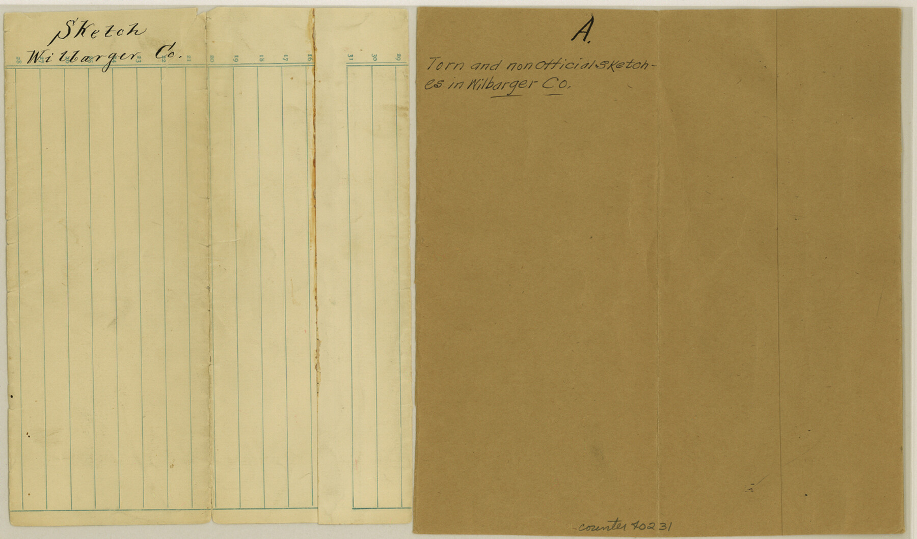
Wilbarger County Sketch File A
[Two unofficial sketches in the county]
-
Map/Doc
40231
-
Collection
General Map Collection
-
Counties
Wilbarger
-
Subjects
Surveying Sketch File
-
Height x Width
8.3 x 14.1 inches
21.1 x 35.8 cm
-
Medium
paper, manuscript
Part of: General Map Collection
Clay County Sketch File 15

Print $4.00
- Digital $50.00
Clay County Sketch File 15
1873
Size 12.8 x 8.4 inches
Map/Doc 18419
Runnels County Sketch File 35

Print $20.00
Runnels County Sketch File 35
1889
Size 17.7 x 30.6 inches
Map/Doc 12266
Polk County Sketch File 40

Print $4.00
- Digital $50.00
Polk County Sketch File 40
Size 10.9 x 8.5 inches
Map/Doc 34290
Stonewall County Working Sketch 15

Print $20.00
- Digital $50.00
Stonewall County Working Sketch 15
1954
Size 32.3 x 30.8 inches
Map/Doc 62322
Kimble County Sketch File B

Print $22.00
- Digital $50.00
Kimble County Sketch File B
Size 14.3 x 12.7 inches
Map/Doc 28963
[Maps of surveys in Reeves & Culberson Cos]
![61146, [Maps of surveys in Reeves & Culberson Cos], General Map Collection](https://historictexasmaps.com/wmedia_w700/maps/61146.tif.jpg)
Print $20.00
- Digital $50.00
[Maps of surveys in Reeves & Culberson Cos]
1937
Size 30.8 x 24.9 inches
Map/Doc 61146
Collingsworth County Rolled Sketch 1

Print $40.00
- Digital $50.00
Collingsworth County Rolled Sketch 1
1941
Size 54.2 x 24.0 inches
Map/Doc 9664
Schleicher Co.

Print $20.00
- Digital $50.00
Schleicher Co.
1893
Size 20.8 x 29.3 inches
Map/Doc 63025
Gulf of Mexico

Print $20.00
- Digital $50.00
Gulf of Mexico
1905
Size 18.3 x 26.8 inches
Map/Doc 72653
Blanco County Working Sketch 2

Print $20.00
- Digital $50.00
Blanco County Working Sketch 2
Size 26.6 x 20.5 inches
Map/Doc 67361

Map of Lamar County

Print $20.00
- Digital $50.00
Map of Lamar County
1849
Size 25.7 x 26.8 inches
Map/Doc 1236
You may also like
Aransas County, Texas

Print $20.00
- Digital $50.00
Aransas County, Texas
1880
Size 19.3 x 20.2 inches
Map/Doc 665
Webb County Sketch File 9a

Print $20.00
- Digital $50.00
Webb County Sketch File 9a
1930
Size 31.4 x 23.9 inches
Map/Doc 12619
Scurry County Sketch File 2

Print $4.00
- Digital $50.00
Scurry County Sketch File 2
1888
Size 13.2 x 7.4 inches
Map/Doc 36563
The Republic County of Milam. January 29, 1842

Print $20.00
The Republic County of Milam. January 29, 1842
2020
Size 17.4 x 21.6 inches
Map/Doc 96231
Comal County Working Sketch 10

Print $20.00
- Digital $50.00
Comal County Working Sketch 10
1974
Size 28.8 x 27.9 inches
Map/Doc 68176

Gulf Coast of the United States, Key West to Rio Grande

Print $20.00
- Digital $50.00
Gulf Coast of the United States, Key West to Rio Grande
1863
Size 27.5 x 18.2 inches
Map/Doc 72665
Sutton County Working Sketch 28

Print $20.00
- Digital $50.00
Sutton County Working Sketch 28
Size 35.7 x 20.5 inches
Map/Doc 62371
Val Verde County Sketch File 54

Print $6.00
- Digital $50.00
Val Verde County Sketch File 54
1940
Size 11.3 x 8.9 inches
Map/Doc 39334
Flight Mission No. DQO-2K, Frame 151, Galveston County

Print $20.00
- Digital $50.00
Flight Mission No. DQO-2K, Frame 151, Galveston County
1952
Size 18.9 x 22.6 inches
Map/Doc 85048
The Railroad System of Texas on September 1st, 1887

Print $20.00
- Digital $50.00
The Railroad System of Texas on September 1st, 1887
1887
Size 22.2 x 28.2 inches
Map/Doc 3036
Galveston County NRC Article 33.136 Sketch 10

Print $48.00
- Digital $50.00
Galveston County NRC Article 33.136 Sketch 10
2000
Size 29.8 x 41.9 inches
Map/Doc 61592