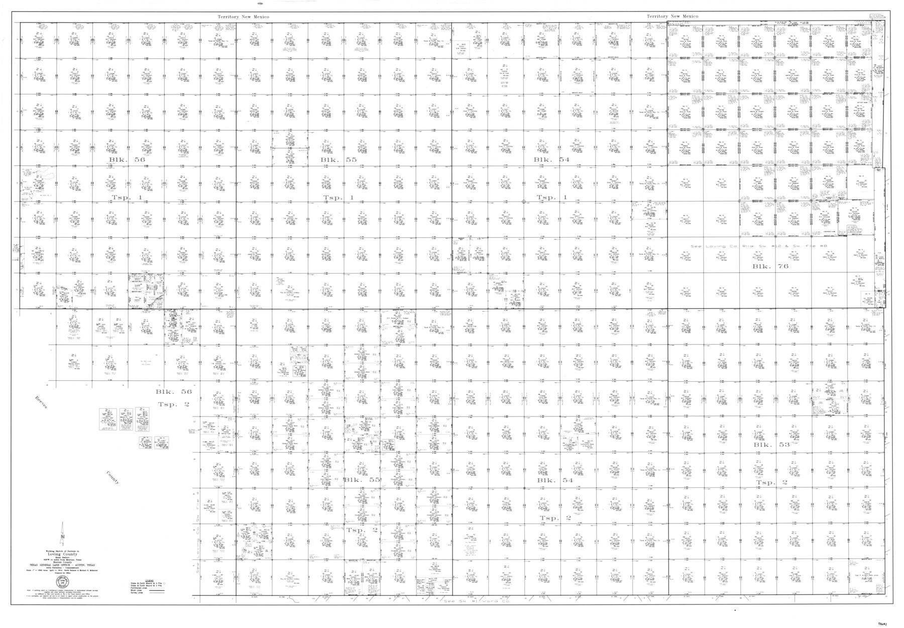
Loving County Working Sketch 26
-
Map/Doc
93681
-
Collection
General Map Collection
-
Object Dates
4/11/2014 (Creation Date)
-
People and Organizations
Jerry E. Patterson (GLO Commissioner)
David Holmes (Draftsman)
Michael R. Mokarzel (Draftsman)
-
Counties
Loving Reeves
-
Subjects
Surveying Working Sketch
-
Height x Width
33.3 x 48.0 inches
84.6 x 121.9 cm
-
Scale
1" = 1000 varas
Part of: General Map Collection
Pecos County Working Sketch 40

Print $20.00
- Digital $50.00
Pecos County Working Sketch 40
1941
Size 29.9 x 39.7 inches
Map/Doc 71512
Calhoun County Sketch File 8

Print $12.00
- Digital $50.00
Calhoun County Sketch File 8
1948
Size 14.2 x 9.0 inches
Map/Doc 35930
Map of Lipscomb County

Print $20.00
- Digital $50.00
Map of Lipscomb County
1899
Size 42.2 x 38.9 inches
Map/Doc 95572
Erath County Sketch File 21

Print $6.00
- Digital $50.00
Erath County Sketch File 21
Size 9.9 x 12.2 inches
Map/Doc 22302
Hill County Sketch File 22a

Print $6.00
- Digital $50.00
Hill County Sketch File 22a
1861
Size 11.3 x 9.0 inches
Map/Doc 26509
Flight Mission No. DIX-3P, Frame 167, Aransas County

Print $20.00
- Digital $50.00
Flight Mission No. DIX-3P, Frame 167, Aransas County
1956
Size 17.8 x 18.0 inches
Map/Doc 83773
Falls County Sketch File 15

Print $4.00
- Digital $50.00
Falls County Sketch File 15
Size 13.0 x 8.2 inches
Map/Doc 22372


Liberty County Rolled Sketch D

Print $42.00
- Digital $50.00
Liberty County Rolled Sketch D
1942
Size 28.4 x 30.1 inches
Map/Doc 9572
Brewster County Working Sketch 63

Print $20.00
- Digital $50.00
Brewster County Working Sketch 63
1956
Size 30.4 x 28.9 inches
Map/Doc 67664
Gillespie County

Print $40.00
- Digital $50.00
Gillespie County
1945
Size 41.0 x 50.0 inches
Map/Doc 95507
You may also like
Ward County Working Sketch 51

Print $40.00
- Digital $50.00
Ward County Working Sketch 51
1980
Size 34.4 x 52.1 inches
Map/Doc 72357
Refugio County Rolled Sketch 8

Print $40.00
- Digital $50.00
Refugio County Rolled Sketch 8
1954
Size 53.9 x 46.7 inches
Map/Doc 9860
Flight Mission No. DAG-23K, Frame 18, Matagorda County

Print $20.00
- Digital $50.00
Flight Mission No. DAG-23K, Frame 18, Matagorda County
1953
Size 18.5 x 22.2 inches
Map/Doc 86480
Hardeman County Sketch File 7

Print $10.00
- Digital $50.00
Hardeman County Sketch File 7
Size 8.9 x 14.1 inches
Map/Doc 24997
Uvalde County Sketch File 8

Print $6.00
- Digital $50.00
Uvalde County Sketch File 8
1882
Size 8.4 x 6.2 inches
Map/Doc 38964
Anderson County Working Sketch 34

Print $20.00
- Digital $50.00
Anderson County Working Sketch 34
1967
Size 32.1 x 47.7 inches
Map/Doc 67034
Edwards County Sketch File 29

Print $40.00
- Digital $50.00
Edwards County Sketch File 29
Size 19.4 x 15.9 inches
Map/Doc 11432


Smith Co. showing location of Texas and Pacific Railway

Print $20.00
- Digital $50.00
Smith Co. showing location of Texas and Pacific Railway
1872
Size 19.5 x 21.6 inches
Map/Doc 64139
Sutton County Sketch File 27

Print $20.00
- Digital $50.00
Sutton County Sketch File 27
Size 38.8 x 15.1 inches
Map/Doc 10377
Pecos County Working Sketch Graphic Index - northeast part - sheet B

Print $20.00
- Digital $50.00
Pecos County Working Sketch Graphic Index - northeast part - sheet B
1975
Size 36.0 x 42.2 inches
Map/Doc 76667