Kleberg County Rolled Sketch 10-16
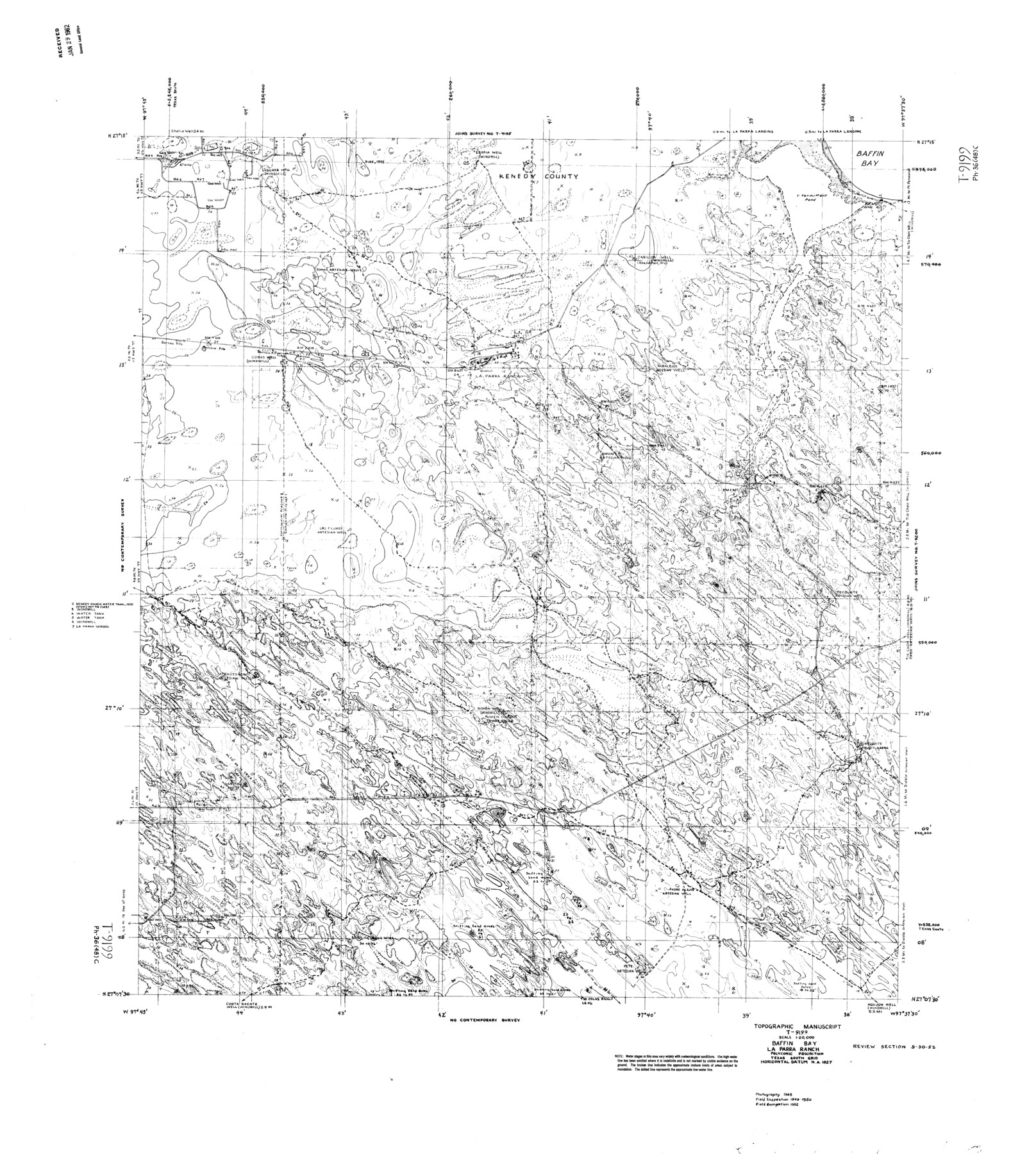
Topographic Manuscript T-9199, Baffin Bay, La Parra Ranch
-
Map/Doc
9381
-
Collection
General Map Collection
-
Object Dates
1952 (Creation Date)
1962/1/29 (File Date)
-
Counties
Kenedy
-
Subjects
Surveying Rolled Sketch
-
Height x Width
37.0 x 33.2 inches
94.0 x 84.3 cm
Part of: General Map Collection
San Patricio County Sketch File 11

Print $6.00
San Patricio County Sketch File 11
1846
Size 13.3 x 8.3 inches
Map/Doc 36044
Flight Mission No. BRA-8M, Frame 66, Jefferson County

Print $20.00
- Digital $50.00
Flight Mission No. BRA-8M, Frame 66, Jefferson County
1953
Size 18.6 x 22.1 inches
Map/Doc 85586
Harris County Working Sketch 73

Print $20.00
- Digital $50.00
Harris County Working Sketch 73
1959
Size 33.5 x 38.1 inches
Map/Doc 65965
Midland County

Print $20.00
- Digital $50.00
Midland County
1896
Size 23.0 x 21.1 inches
Map/Doc 3878
Presidio County Rolled Sketch 133

Print $20.00
- Digital $50.00
Presidio County Rolled Sketch 133
Size 37.3 x 27.2 inches
Map/Doc 7400
Webb County Sketch File 8-1

Print $20.00
- Digital $50.00
Webb County Sketch File 8-1
1929
Size 38.3 x 31.1 inches
Map/Doc 10429
Van Zandt County Sketch File 10

Print $4.00
- Digital $50.00
Van Zandt County Sketch File 10
1858
Size 6.2 x 8.0 inches
Map/Doc 39395
Maps & Lists Showing Prison Lands (Oil & Gas) Leased as of June 1955

Digital $50.00
Maps & Lists Showing Prison Lands (Oil & Gas) Leased as of June 1955
1930
Size 24.4 x 26.8 inches
Map/Doc 62876
Duval County Rolled Sketch 41

Print $20.00
- Digital $50.00
Duval County Rolled Sketch 41
1966
Size 23.3 x 21.1 inches
Map/Doc 5758
Fayette County Working Sketch 6

Print $20.00
- Digital $50.00
Fayette County Working Sketch 6
1981
Size 17.0 x 15.1 inches
Map/Doc 69170
Cherokee County Sketch File 9

Print $8.00
- Digital $50.00
Cherokee County Sketch File 9
1853
Size 5.6 x 4.2 inches
Map/Doc 18132
Webb County Working Sketch 38

Print $20.00
- Digital $50.00
Webb County Working Sketch 38
1941
Size 20.0 x 17.8 inches
Map/Doc 72403
You may also like
North Part of Brewster Co.

Print $20.00
- Digital $50.00
North Part of Brewster Co.
1956
Size 42.4 x 40.2 inches
Map/Doc 1786
Brewster County Rolled Sketch 21

Print $20.00
- Digital $50.00
Brewster County Rolled Sketch 21
1907
Size 28.5 x 26.0 inches
Map/Doc 5200
Victoria County Working Sketch 9

Print $40.00
- Digital $50.00
Victoria County Working Sketch 9
1963
Size 49.7 x 31.8 inches
Map/Doc 69763
Nueces County Rolled Sketch 129 A-C

Print $6.00
- Digital $50.00
Nueces County Rolled Sketch 129 A-C
1998
Size 11.2 x 8.8 inches
Map/Doc 41616
Hidalgo County Working Sketch 5

Print $20.00
- Digital $50.00
Hidalgo County Working Sketch 5
1956
Size 38.1 x 37.9 inches
Map/Doc 66182
Harris County Working Sketch 77

Print $20.00
- Digital $50.00
Harris County Working Sketch 77
1967
Size 28.6 x 24.0 inches
Map/Doc 65969
Hudspeth County Working Sketch 31

Print $40.00
- Digital $50.00
Hudspeth County Working Sketch 31
1972
Size 56.6 x 38.9 inches
Map/Doc 66315
Nueces County Sketch File 52

Print $10.00
- Digital $50.00
Nueces County Sketch File 52
1947
Size 14.1 x 8.6 inches
Map/Doc 32858
Flight Mission No. DCL-7C, Frame 46, Kenedy County

Print $20.00
- Digital $50.00
Flight Mission No. DCL-7C, Frame 46, Kenedy County
1943
Size 15.4 x 15.3 inches
Map/Doc 86034


Flight Mission No. BRA-16M, Frame 181, Jefferson County

Print $20.00
- Digital $50.00
Flight Mission No. BRA-16M, Frame 181, Jefferson County
1953
Size 18.6 x 22.2 inches
Map/Doc 85779