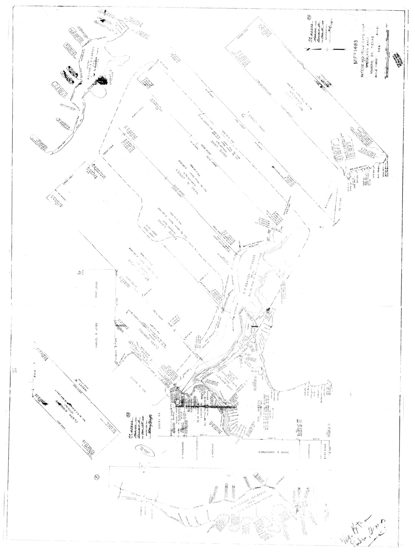
Marion County Rolled Sketch 4
MF-1483, Patent and field note map, Woodlawn area, Marion Co. Texas
-
Map/Doc
9491
-
Collection
General Map Collection
-
Object Dates
8/1/1951 (Creation Date)
3/19/1954 (File Date)
-
Counties
Marion
-
Subjects
Surveying Rolled Sketch
-
Height x Width
43.1 x 58.0 inches
109.5 x 147.3 cm
-
Scale
1" = 1000 feet
Part of: General Map Collection
Stephens County Rolled Sketch 4

Print $20.00
- Digital $50.00
Stephens County Rolled Sketch 4
Size 20.0 x 18.5 inches
Map/Doc 7841
Blanco County Boundary File 10

Print $26.00
- Digital $50.00
Blanco County Boundary File 10
Size 8.9 x 7.6 inches
Map/Doc 50576
Flight Mission No. DQN-2K, Frame 72, Calhoun County

Print $20.00
- Digital $50.00
Flight Mission No. DQN-2K, Frame 72, Calhoun County
1953
Size 18.6 x 22.3 inches
Map/Doc 84264
A Map of the Internal Provinces of New Spain

Print $20.00
- Digital $50.00
A Map of the Internal Provinces of New Spain
1810
Size 19.8 x 21.0 inches
Map/Doc 95156
Morris County Rolled Sketch 2A

Print $64.00
- Digital $50.00
Morris County Rolled Sketch 2A
1944
Size 11.2 x 8.8 inches
Map/Doc 41667
Flight Mission No. DAG-17K, Frame 78, Matagorda County

Print $20.00
- Digital $50.00
Flight Mission No. DAG-17K, Frame 78, Matagorda County
1952
Size 18.7 x 22.4 inches
Map/Doc 86337
Loving County Rolled Sketch 13

Print $20.00
- Digital $50.00
Loving County Rolled Sketch 13
2006
Size 43.6 x 45.0 inches
Map/Doc 83650
Andrews County Rolled Sketch 34

Print $20.00
- Digital $50.00
Andrews County Rolled Sketch 34
1955
Size 34.9 x 40.0 inches
Map/Doc 8913
Wood County Working Sketch 14

Print $20.00
- Digital $50.00
Wood County Working Sketch 14
1968
Size 30.1 x 31.6 inches
Map/Doc 62014
Edwards County Working Sketch 136

Print $20.00
- Digital $50.00
Edwards County Working Sketch 136
1997
Size 18.4 x 25.4 inches
Map/Doc 69012
Cameron County Rolled Sketch 20B

Print $20.00
- Digital $50.00
Cameron County Rolled Sketch 20B
1960
Size 25.2 x 13.5 inches
Map/Doc 5472
Harris County Working Sketch 101

Print $20.00
- Digital $50.00
Harris County Working Sketch 101
1980
Size 32.6 x 36.2 inches
Map/Doc 65993
You may also like
Flight Mission No. DCL-7C, Frame 61, Kenedy County

Print $20.00
- Digital $50.00
Flight Mission No. DCL-7C, Frame 61, Kenedy County
1943
Size 15.4 x 15.2 inches
Map/Doc 86049
General Highway Map, McCulloch County, Texas

Print $20.00
General Highway Map, McCulloch County, Texas
1940
Size 24.6 x 18.2 inches
Map/Doc 79190
General Highway Map. Detail of Cities and Towns in Smith County, Texas. City Map, Tyler and vicinity, Smith County, Texas

Print $20.00
General Highway Map. Detail of Cities and Towns in Smith County, Texas. City Map, Tyler and vicinity, Smith County, Texas
1961
Size 18.2 x 24.9 inches
Map/Doc 79657
Castro County Sketch File 4h

Print $4.00
- Digital $50.00
Castro County Sketch File 4h
Size 13.6 x 8.6 inches
Map/Doc 17479
Duval County Working Sketch 34

Print $20.00
- Digital $50.00
Duval County Working Sketch 34
1953
Size 35.8 x 25.5 inches
Map/Doc 68758
United States Gulf Coast - from Galveston to the Rio Grande

Print $20.00
- Digital $50.00
United States Gulf Coast - from Galveston to the Rio Grande
1915
Size 26.3 x 18.3 inches
Map/Doc 72731
Flight Mission No. DIX-3P, Frame 165, Aransas County

Print $20.00
- Digital $50.00
Flight Mission No. DIX-3P, Frame 165, Aransas County
1956
Size 17.8 x 18.4 inches
Map/Doc 83771
Jack County Sketch File 11

Print $4.00
- Digital $50.00
Jack County Sketch File 11
1858
Size 10.2 x 8.1 inches
Map/Doc 27531
J. De Cordova's Map of the State of Texas Compiled from the records of the General Land Office of the State

Print $20.00
- Digital $50.00
J. De Cordova's Map of the State of Texas Compiled from the records of the General Land Office of the State
1867
Size 38.0 x 35.4 inches
Map/Doc 93759
Kerr County Sketch File 14

Print $20.00
- Digital $50.00
Kerr County Sketch File 14
Size 14.9 x 17.8 inches
Map/Doc 11918
Kaufman County Sketch File A

Print $4.00
- Digital $50.00
Kaufman County Sketch File A
1879
Size 14.1 x 8.8 inches
Map/Doc 28630
