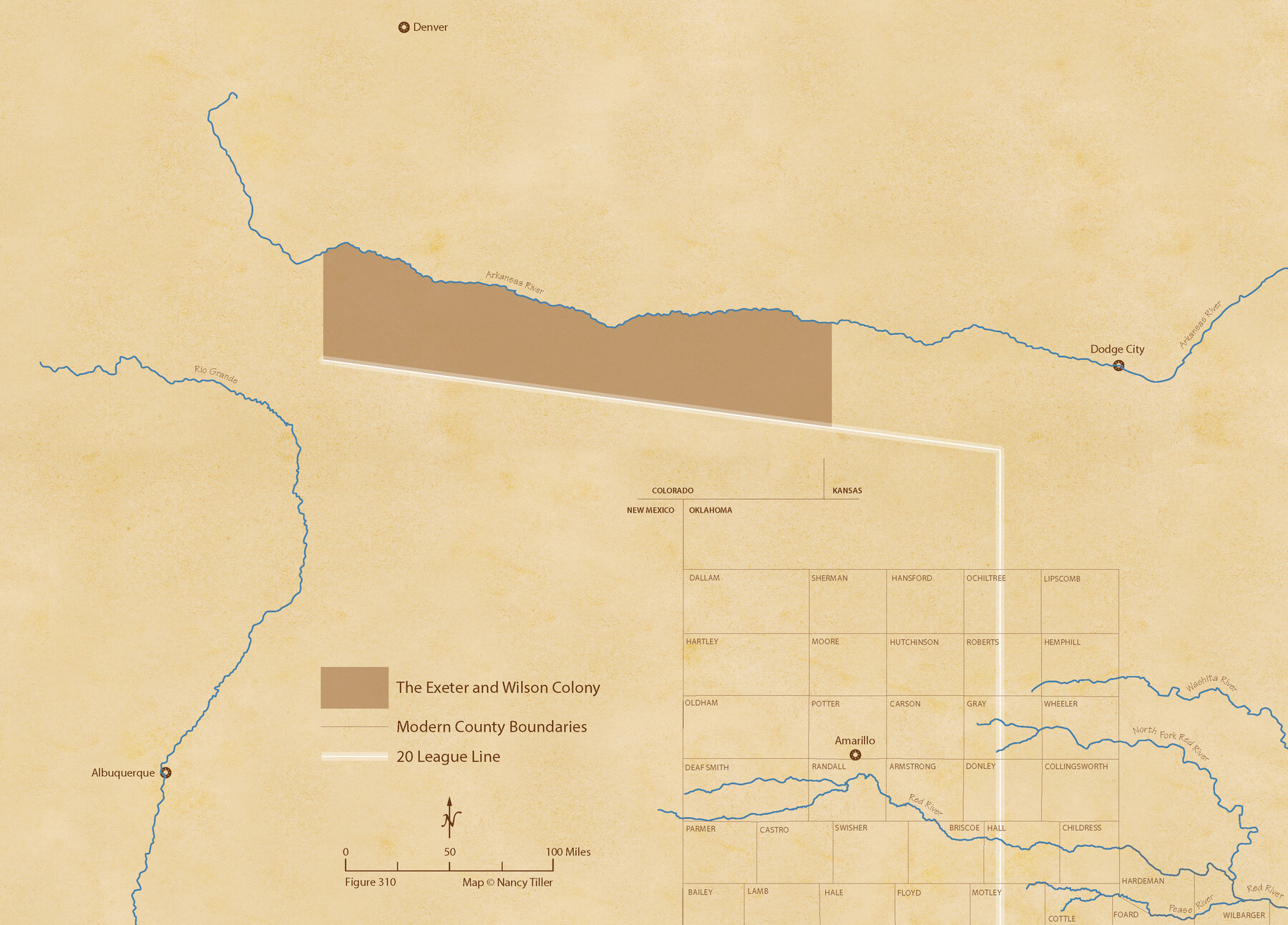
Exeter and Wilson Empresario Colony. September 23, 1828
Figure No. 310 from 'A Boundary Atlas of Texas, 1821-1845' by Jim Tiller
-
Map/Doc
95994
-
Collection
Nancy and Jim Tiller Digital Collection
-
Object Dates
2020/1/1 (Creation Date)
-
People and Organizations
Jim Tiller (Author)
Nancy Tiller (Cartographer)
Gang Gong (GIS Professional)
-
Subjects
Atlas Colony Mexican Texas Texas Boundaries
-
Height x Width
15.5 x 21.7 inches
39.4 x 55.1 cm
-
Medium
digital image
-
Comments
To purchase a digital PDF copy of "A Boundary Atlas of Texas, 1821-1845" see 96437.
Part of: Nancy and Jim Tiller Digital Collection
The Chief Justice County of San Augustine. Lands in Conflict with Sabine County

Print $20.00
The Chief Justice County of San Augustine. Lands in Conflict with Sabine County
2020
Size 14.6 x 21.7 inches
Map/Doc 96071
The Chief Justice County of San Augustine. April 22, 1837

Print $20.00
The Chief Justice County of San Augustine. April 22, 1837
2020
Size 14.6 x 21.7 inches
Map/Doc 96070
The Republic County of Fayette. Spring 1842

Print $20.00
The Republic County of Fayette. Spring 1842
2020
Size 14.7 x 21.7 inches
Map/Doc 96135
Wilson Empresario Colony. May 27, 1826

Print $20.00
Wilson Empresario Colony. May 27, 1826
2020
Size 19.4 x 21.6 inches
Map/Doc 96010
The Judicial District/County of Menard. December 7, 1841

Print $20.00
The Judicial District/County of Menard. December 7, 1841
2020
Size 22.4 x 21.7 inches
Map/Doc 96336
From Citizens of Montgomery and Washington Counties to Redefine the Boundary Between Their Two Counties, Undated

Print $20.00
From Citizens of Montgomery and Washington Counties to Redefine the Boundary Between Their Two Counties, Undated
2020
Size 15.0 x 21.7 inches
Map/Doc 96402
The Republic County of Washington. January 29, 1842

Print $20.00
The Republic County of Washington. January 29, 1842
2020
Size 11.8 x 21.7 inches
Map/Doc 96307
The Republic County of Harrison. June 24, 1841

Print $20.00
The Republic County of Harrison. June 24, 1841
2020
Size 18.6 x 21.7 inches
Map/Doc 96171
From Citizens to Redefine the Boundary Between Gonzales and Victoria Counties, April 14, 18

Print $20.00
From Citizens to Redefine the Boundary Between Gonzales and Victoria Counties, April 14, 18
2020
Size 24.9 x 21.7 inches
Map/Doc 96378
The Land Offices. No. 2, San Augustine, December 22, 1836

Print $20.00
The Land Offices. No. 2, San Augustine, December 22, 1836
2020
Size 19.7 x 18.4 inches
Map/Doc 96415
The Republic County of Harris. Proposed, Late Fall 1837-May 15, 1838

Print $20.00
The Republic County of Harris. Proposed, Late Fall 1837-May 15, 1838
2020
Size 17.7 x 21.7 inches
Map/Doc 96162
The Mexican Municipality of Jefferson. Defined, December 9, 1835

Print $20.00
The Mexican Municipality of Jefferson. Defined, December 9, 1835
2020
Size 15.5 x 21.7 inches
Map/Doc 96024
You may also like
Flight Mission No. CUG-3P, Frame 90, Kleberg County

Print $20.00
- Digital $50.00
Flight Mission No. CUG-3P, Frame 90, Kleberg County
1956
Size 18.6 x 22.3 inches
Map/Doc 86260
Armstrong County

Print $20.00
- Digital $50.00
Armstrong County
1933
Size 39.3 x 39.4 inches
Map/Doc 77203
Shelby County Working Sketch 5

Print $20.00
- Digital $50.00
Shelby County Working Sketch 5
1941
Size 40.6 x 40.8 inches
Map/Doc 63858
Cameron County Rolled Sketch 25

Print $20.00
- Digital $50.00
Cameron County Rolled Sketch 25
1977
Size 24.7 x 36.7 inches
Map/Doc 5795

Nueces County Rolled Sketch 113A

Print $20.00
- Digital $50.00
Nueces County Rolled Sketch 113A
1972
Size 18.6 x 23.3 inches
Map/Doc 7122
Gregg County Working Sketch 17

Print $20.00
- Digital $50.00
Gregg County Working Sketch 17
1950
Size 29.7 x 26.2 inches
Map/Doc 63284
Aransas County Rolled Sketch 15B

Print $20.00
- Digital $50.00
Aransas County Rolled Sketch 15B
Size 19.0 x 19.8 inches
Map/Doc 76066
Flight Mission No. BRA-7M, Frame 182, Jefferson County

Print $20.00
- Digital $50.00
Flight Mission No. BRA-7M, Frame 182, Jefferson County
1953
Size 18.5 x 22.3 inches
Map/Doc 85550
Dimmit County Rolled Sketch 19

Print $20.00
- Digital $50.00
Dimmit County Rolled Sketch 19
1990
Size 45.4 x 41.7 inches
Map/Doc 8799
PSL Field Notes for Block C24 in Loving and Winkler Counties, and Blocks C22 and C23 in Winkler County

PSL Field Notes for Block C24 in Loving and Winkler Counties, and Blocks C22 and C23 in Winkler County
Map/Doc 81677
Kendall County Working Sketch 4

Print $20.00
- Digital $50.00
Kendall County Working Sketch 4
1946
Size 25.7 x 24.3 inches
Map/Doc 66676