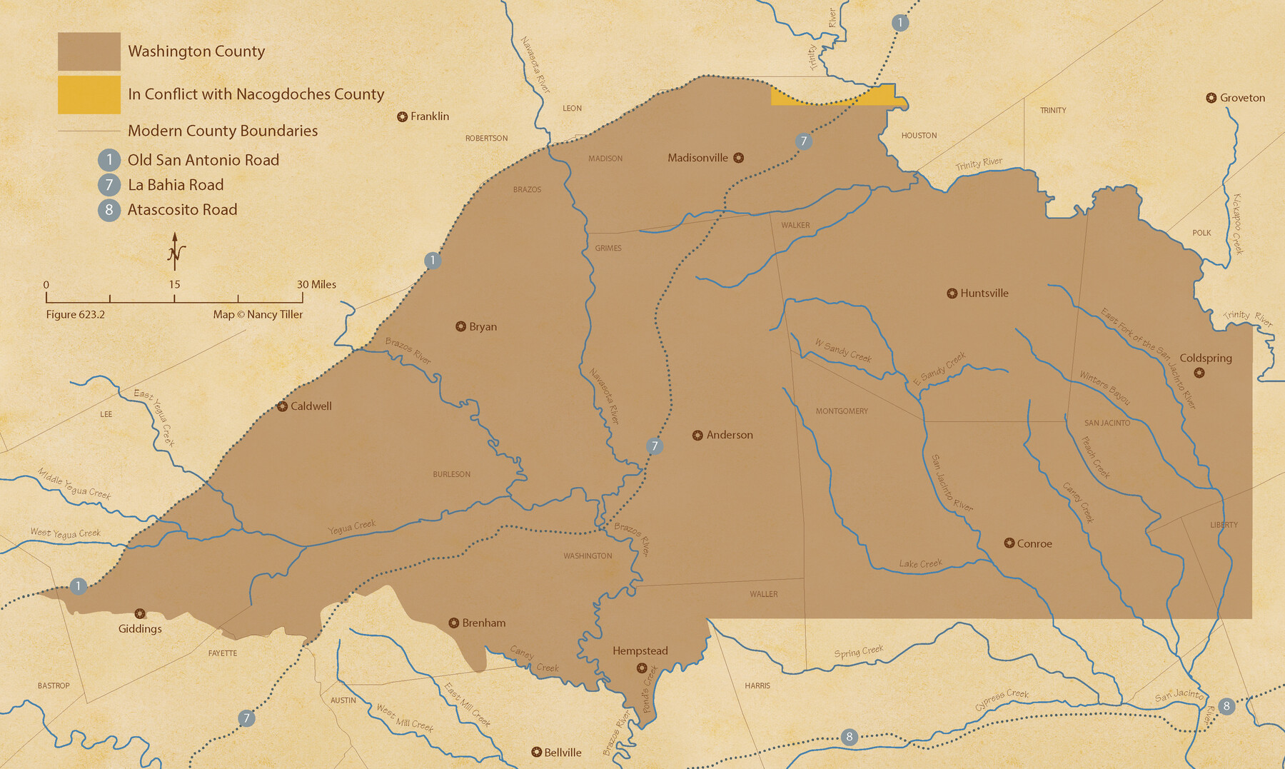
The Chief Justice County of Washington. Lands in Conflict with Nacogdoches County
Figure No. 623.2 from 'A Boundary Atlas of Texas, 1821-1845' by Jim Tiller
-
Map/Doc
96078
-
Collection
Nancy and Jim Tiller Digital Collection
-
Object Dates
2020/1/1 (Creation Date)
-
People and Organizations
Jim Tiller (Author)
Nancy Tiller (Cartographer)
Gang Gong (GIS Professional)
-
Subjects
Atlas Republic of Texas Texas Boundaries
-
Height x Width
13.0 x 21.7 inches
33.0 x 55.1 cm
-
Medium
digital image
-
Comments
To purchase a digital PDF copy of "A Boundary Atlas of Texas, 1821-1845" see 96437.
Part of: Nancy and Jim Tiller Digital Collection
The Republic County of Bexar. January 29, 1842

Print $20.00
The Republic County of Bexar. January 29, 1842
2020
Size 14.7 x 21.7 inches
Map/Doc 96099
The Land Offices. December 22, 1836

Print $20.00
The Land Offices. December 22, 1836
2020
Size 24.7 x 21.7 inches
Map/Doc 96425
The Republic County of Houston. December 29, 1845

Print $20.00
The Republic County of Houston. December 29, 1845
2020
Size 19.7 x 21.8 inches
Map/Doc 96183
From Citizens Living in Gonzales and Victoria Counties for the Creation of a New Judicial County to be Called Guadalupe, Undated

Print $20.00
From Citizens Living in Gonzales and Victoria Counties for the Creation of a New Judicial County to be Called Guadalupe, Undated
2020
Size 24.5 x 21.7 inches
Map/Doc 96413
Geographical Observations on the Inner Margins of the Border and Coastal Reserves of Texas, 1824-1836

Geographical Observations on the Inner Margins of the Border and Coastal Reserves of Texas, 1824-1836
2022
Map/Doc 97131
The Republic County of Houston. December 6, 1841

Print $20.00
The Republic County of Houston. December 6, 1841
2020
Size 19.7 x 21.8 inches
Map/Doc 96180
The Chief Justice County of Matagorda. Lands in Conflict with Brazoria County

Print $20.00
The Chief Justice County of Matagorda. Lands in Conflict with Brazoria County
2020
Size 19.7 x 21.7 inches
Map/Doc 96058
The Chief Justice County of Victoria. Lands in Conflict with Bexar and Gonzales Counties

Print $20.00
The Chief Justice County of Victoria. Lands in Conflict with Bexar and Gonzales Counties
2020
Size 23.3 x 21.7 inches
Map/Doc 96076
The Chief Justice County of Red River. Lands in Conflict with Nacogdoches County

Print $20.00
The Chief Justice County of Red River. Lands in Conflict with Nacogdoches County
2020
Size 17.4 x 21.8 inches
Map/Doc 96066
The Republic County of Austin. December 29, 1845

Print $20.00
The Republic County of Austin. December 29, 1845
2020
Size 14.7 x 21.6 inches
Map/Doc 96088
The Mexican Department of Bexar. Created, 1827

Print $20.00
The Mexican Department of Bexar. Created, 1827
2020
Size 16.6 x 21.7 inches
Map/Doc 95967
The Chief Justice County of Goliad. Proposed, No Date

Print $20.00
The Chief Justice County of Goliad. Proposed, No Date
2020
Size 14.7 x 21.7 inches
Map/Doc 96046
You may also like
General Highway Map, Refugio County, Texas

Print $20.00
General Highway Map, Refugio County, Texas
1961
Size 18.1 x 24.7 inches
Map/Doc 79639
King County Sketch File 10

Print $24.00
- Digital $50.00
King County Sketch File 10
1902
Size 14.2 x 8.7 inches
Map/Doc 29083
Wilson County Working Sketch 11

Print $20.00
- Digital $50.00
Wilson County Working Sketch 11
1980
Size 14.4 x 13.1 inches
Map/Doc 72591
Bosque County Sketch File 30b

Print $8.00
- Digital $50.00
Bosque County Sketch File 30b
1854
Size 12.7 x 8.1 inches
Map/Doc 14826
Foard County Boundary File 2a

Print $40.00
- Digital $50.00
Foard County Boundary File 2a
Size 33.2 x 14.7 inches
Map/Doc 53514
Part of a Map Showing Resurvey of Capitol Leagues

Print $20.00
- Digital $50.00
Part of a Map Showing Resurvey of Capitol Leagues
Size 21.7 x 17.0 inches
Map/Doc 91557
San Patricio County Rolled Sketch 30 & 30A

Print $20.00
- Digital $50.00
San Patricio County Rolled Sketch 30 & 30A
1941
Size 47.1 x 27.9 inches
Map/Doc 9896
Ward County Working Sketch 10

Print $20.00
- Digital $50.00
Ward County Working Sketch 10
1946
Size 29.6 x 15.6 inches
Map/Doc 72316
Goliad County Sketch File 26

Print $26.00
- Digital $50.00
Goliad County Sketch File 26
1855
Size 10.2 x 8.2 inches
Map/Doc 24308
Wilbarger County Working Sketch 21

Print $20.00
- Digital $50.00
Wilbarger County Working Sketch 21
1979
Size 37.4 x 37.8 inches
Map/Doc 72559
Kerr County Working Sketch 14

Print $20.00
- Digital $50.00
Kerr County Working Sketch 14
1952
Size 26.5 x 24.5 inches
Map/Doc 70045
