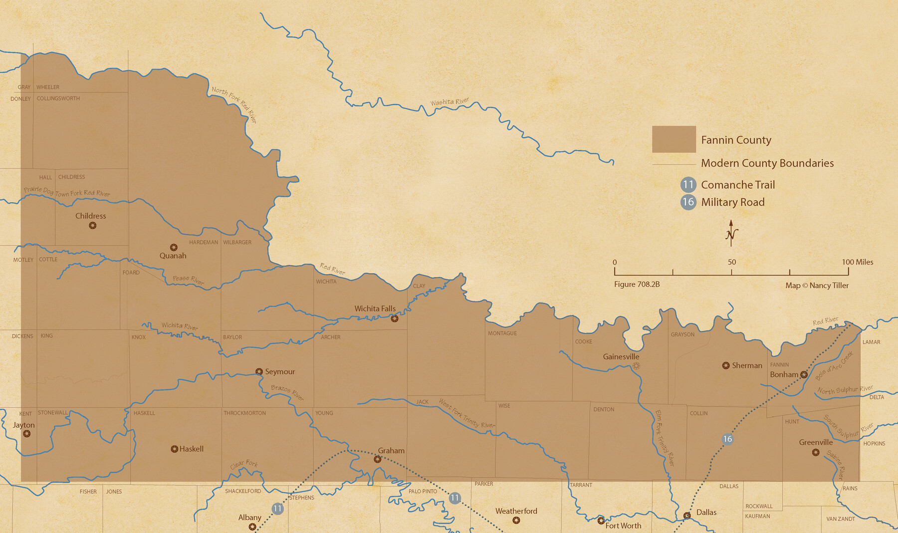
The Republic County of Fannin. November 28. 1839
Figure No. 708.2 from 'A Boundary Atlas of Texas, 1821-1845' by Jim Tiller
-
Map/Doc
96129
-
Collection
Nancy and Jim Tiller Digital Collection
-
Object Dates
2020/1/1 (Creation Date)
-
People and Organizations
Jim Tiller (Author)
Nancy Tiller (Cartographer)
Gang Gong (GIS Professional)
-
Counties
Fannin
-
Subjects
Atlas County Republic of Texas Texas Boundaries
-
Height x Width
12.9 x 21.7 inches
32.8 x 55.1 cm
-
Medium
digital image
-
Comments
To purchase a digital PDF copy of "A Boundary Atlas of Texas, 1821-1845" see 96437.
Part of: Nancy and Jim Tiller Digital Collection
The Chief Justice County of Jackson. April 24, 1837

Print $20.00
The Chief Justice County of Jackson. April 24, 1837
2020
Size 18.4 x 21.7 inches
Map/Doc 96051
The Republic County of Fayette. May 24, 1838

Print $20.00
The Republic County of Fayette. May 24, 1838
2020
Size 14.7 x 21.7 inches
Map/Doc 96133
The Republic County of Fannin. Created, December 14, 1837

Print $20.00
The Republic County of Fannin. Created, December 14, 1837
2020
Size 15.0 x 21.7 inches
Map/Doc 96128
The Judicial District/County of DeWitt. Created, February 2, 1842

Print $20.00
The Judicial District/County of DeWitt. Created, February 2, 1842
2020
Size 22.4 x 21.7 inches
Map/Doc 96325
The Chief Justice County of San Patricio. Proposed, No Date

Print $20.00
The Chief Justice County of San Patricio. Proposed, No Date
2020
Size 20.0 x 21.7 inches
Map/Doc 96072
The Republic County of Jasper. January 29, 1842

Print $20.00
The Republic County of Jasper. January 29, 1842
2020
Size 19.5 x 21.7 inches
Map/Doc 96194
The Judicial District/County of Menard. Created, January 22, 1841

Print $20.00
The Judicial District/County of Menard. Created, January 22, 1841
2020
Size 22.4 x 21.7 inches
Map/Doc 96335
Letter from Jesse Grimes Suggesting a Redefinition of the Boundary Between Harris and Montgomery Counties, April 30, 1838

Print $20.00
Letter from Jesse Grimes Suggesting a Redefinition of the Boundary Between Harris and Montgomery Counties, April 30, 1838
2020
Size 15.4 x 21.7 inches
Map/Doc 96381
The Mexican Municipalities. On the Eve of Texas Independence, 1836

Print $20.00
The Mexican Municipalities. On the Eve of Texas Independence, 1836
2020
Size 17.2 x 21.6 inches
Map/Doc 96013
The Republic County of Goliad. Proposed, Late Fall 1837-December 31, 1838

Print $20.00
The Republic County of Goliad. Proposed, Late Fall 1837-December 31, 1838
2020
Size 15.1 x 21.7 inches
Map/Doc 96148
From Citizens of Washington County to Establish a New Eastern Boundary, November 30, 1837

Print $20.00
From Citizens of Washington County to Establish a New Eastern Boundary, November 30, 1837
2020
Size 14.2 x 21.7 inches
Map/Doc 96375
The Republic County of Brazoria. May 15, 1838

Print $20.00
The Republic County of Brazoria. May 15, 1838
2020
Size 14.7 x 21.8 inches
Map/Doc 96112
You may also like
Galveston County Rolled Sketch 14

Print $155.00
- Digital $50.00
Galveston County Rolled Sketch 14
1950
Size 10.1 x 15.3 inches
Map/Doc 44808
Travis County Appraisal District Plat Map 3_0404

Print $20.00
- Digital $50.00
Travis County Appraisal District Plat Map 3_0404
Size 21.5 x 26.4 inches
Map/Doc 94226
Texas Intracoastal Waterway - Port O'Connor to San Antonio Bay, Including Pass Cavallo

Print $20.00
- Digital $50.00
Texas Intracoastal Waterway - Port O'Connor to San Antonio Bay, Including Pass Cavallo
1961
Size 26.4 x 38.8 inches
Map/Doc 73374
Anderson County Working Sketch 24

Print $20.00
- Digital $50.00
Anderson County Working Sketch 24
1917
Size 16.6 x 15.3 inches
Map/Doc 67024
Hutchinson County Rolled Sketch 29

Print $20.00
- Digital $50.00
Hutchinson County Rolled Sketch 29
1925
Size 19.3 x 13.9 inches
Map/Doc 6291
Flight Mission No. CRC-2R, Frame 135, Chambers County

Print $20.00
- Digital $50.00
Flight Mission No. CRC-2R, Frame 135, Chambers County
1956
Size 18.7 x 22.5 inches
Map/Doc 84751
Eastland County Working Sketch 36

Print $20.00
- Digital $50.00
Eastland County Working Sketch 36
1963
Size 24.0 x 40.0 inches
Map/Doc 68817
Johnson County State of Texas

Print $20.00
- Digital $50.00
Johnson County State of Texas
1888
Size 30.2 x 35.3 inches
Map/Doc 3733
Crockett County Rolled Sketch 88D

Print $40.00
- Digital $50.00
Crockett County Rolled Sketch 88D
Size 43.2 x 52.0 inches
Map/Doc 8729

Matagorda Bay and Approaches

Print $20.00
- Digital $50.00
Matagorda Bay and Approaches
1992
Size 36.6 x 44.6 inches
Map/Doc 73390
Parker County Rolled Sketch 7

Print $20.00
- Digital $50.00
Parker County Rolled Sketch 7
Size 24.5 x 19.1 inches
Map/Doc 89050