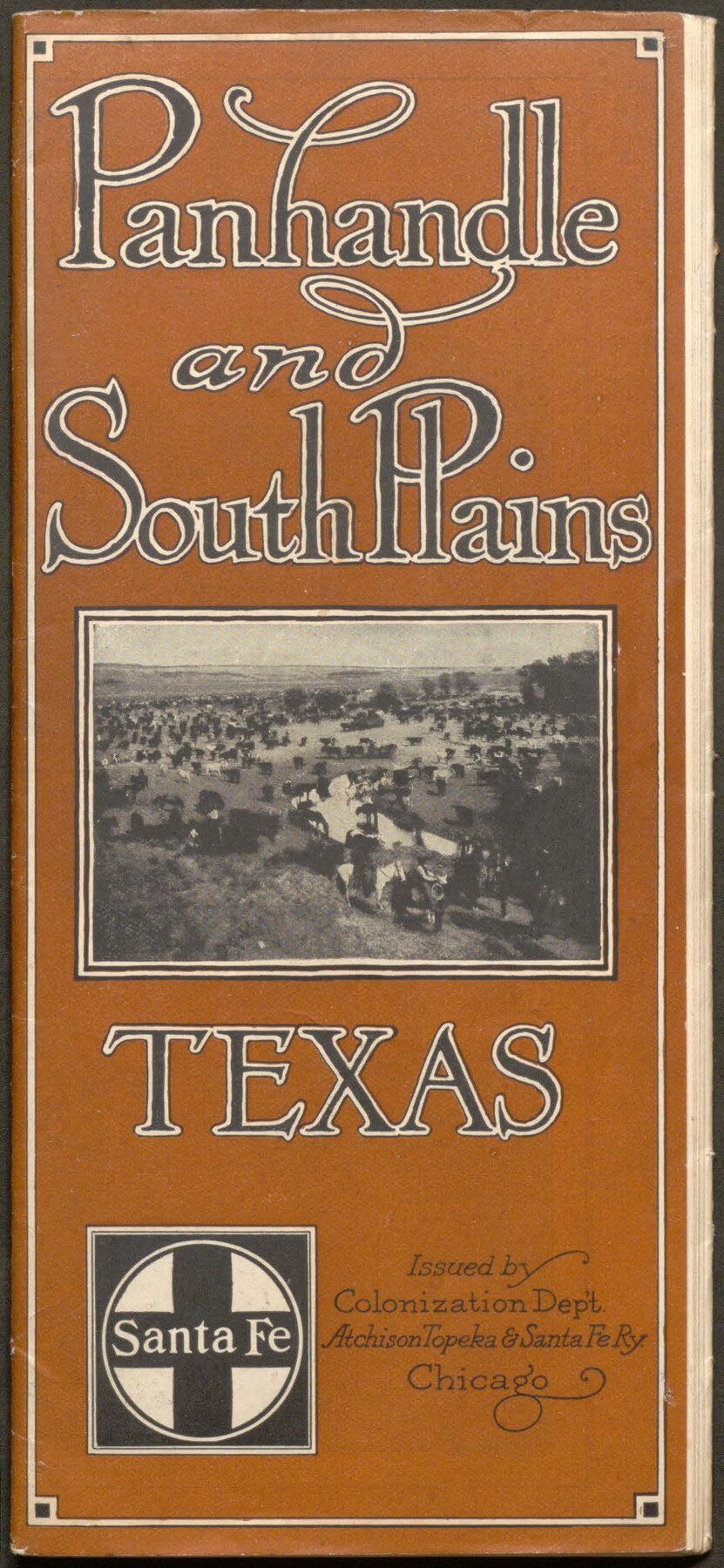
Panhandle and South Plains, Texas
-
Map/Doc
96754
-
Collection
Cobb Digital Map Collection
-
Object Dates
[1908] (Creation Date)
-
People and Organizations
Colonization Dept., Atchison Topeka & Santa Fe Ry. (Publisher)
-
Subjects
Railroads
-
Medium
pdf
-
Comments
Courtesy of John & Diana Cobb.
Part of: Cobb Digital Map Collection
Map of the United States of America for Goddard's "Where to Emigrate and Why"

Print $20.00
- Digital $50.00
Map of the United States of America for Goddard's "Where to Emigrate and Why"
1869
Size 12.4 x 18.8 inches
Map/Doc 96619
The M. K. and T., Missouri, Kansas & Texas Ry.

Print $20.00
- Digital $50.00
The M. K. and T., Missouri, Kansas & Texas Ry.
1911
Size 15.9 x 9.1 inches
Map/Doc 95809
Map of the Texas & Pacific Railway and connections

Print $20.00
- Digital $50.00
Map of the Texas & Pacific Railway and connections
1892
Size 22.5 x 31.9 inches
Map/Doc 95761
Plat showing Gulf Coast Irrigation Company's lands at Raymondville, Lyford and Sebastian, Texas.

Print $20.00
- Digital $50.00
Plat showing Gulf Coast Irrigation Company's lands at Raymondville, Lyford and Sebastian, Texas.
1910
Size 13.9 x 16.9 inches
Map/Doc 95797

Texas and Northern Mexico

Print $20.00
- Digital $50.00
Texas and Northern Mexico
1925
Size 21.0 x 28.3 inches
Map/Doc 95900
Map of Texas with population and location of principal towns and cities according to latest reliable statistics

Print $20.00
- Digital $50.00
Map of Texas with population and location of principal towns and cities according to latest reliable statistics
1908
Size 18.5 x 20.4 inches
Map/Doc 95873
I. & G. N. - International and Great Northern R.R. - International Route - Galveston, Ft. Worth, Waco, Houston, Austin, Laredo, San Antonio

Print $20.00
- Digital $50.00
I. & G. N. - International and Great Northern R.R. - International Route - Galveston, Ft. Worth, Waco, Houston, Austin, Laredo, San Antonio
1905
Size 23.5 x 15.8 inches
Map/Doc 95778
Map of the State of Texas

Print $20.00
- Digital $50.00
Map of the State of Texas
1881
Size 15.7 x 21.7 inches
Map/Doc 96614
Map showing Alamo-Donna Farms, Irrigated Section in Hidalgo County, Texas

Print $20.00
- Digital $50.00
Map showing Alamo-Donna Farms, Irrigated Section in Hidalgo County, Texas
1920
Size 27.5 x 13.3 inches
Map/Doc 95803
Texas - Rand McNally Indexed Pocket Map - Tourists' and Shippers' Guide - Main Highways, Railroads, and Electric Lines, Counties, Cities, Towns, Villages, Post Offices, Lakes, Rivers, etc.

Texas - Rand McNally Indexed Pocket Map - Tourists' and Shippers' Guide - Main Highways, Railroads, and Electric Lines, Counties, Cities, Towns, Villages, Post Offices, Lakes, Rivers, etc.
1924
Map/Doc 95854
County and Railroad Map of Texas

Print $20.00
- Digital $50.00
County and Railroad Map of Texas
1871
Size 16.7 x 15.5 inches
Map/Doc 95752
You may also like

Webb County Boundary File 3

Print $74.00
- Digital $50.00
Webb County Boundary File 3
Size 11.3 x 8.8 inches
Map/Doc 59716
Mapa de los Estados Unidos de Méjico, Segun lo organizado y definido por las varias actas del Congreso de dicha Republica: y construido por las mejores autoridades

Print $20.00
- Digital $50.00
Mapa de los Estados Unidos de Méjico, Segun lo organizado y definido por las varias actas del Congreso de dicha Republica: y construido por las mejores autoridades
1847
Size 31.3 x 42.3 inches
Map/Doc 93878
Correct Map of Texas

Print $20.00
- Digital $50.00
Correct Map of Texas
1873
Size 21.3 x 16.9 inches
Map/Doc 95776
[Northwest part of the County]
![90841, [Northwest part of the County], Twichell Survey Records](https://historictexasmaps.com/wmedia_w700/maps/90841-2.tif.jpg)
Print $20.00
- Digital $50.00
[Northwest part of the County]
Size 17.9 x 34.9 inches
Map/Doc 90841
Flight Mission No. DAG-23K, Frame 142, Matagorda County

Print $20.00
- Digital $50.00
Flight Mission No. DAG-23K, Frame 142, Matagorda County
1953
Size 18.4 x 22.4 inches
Map/Doc 86490
Washington County
Print $40.00
- Digital $50.00
Washington County
1920
Size 33.5 x 48.8 inches
Map/Doc 1900
[H. & T. C. RR. Company, Block 47, Sections 47- 56 Corrected]
![91412, [H. & T. C. RR. Company, Block 47, Sections 47- 56 Corrected], Twichell Survey Records](https://historictexasmaps.com/wmedia_w700/maps/91412-1.tif.jpg)
Print $2.00
- Digital $50.00
[H. & T. C. RR. Company, Block 47, Sections 47- 56 Corrected]
Size 11.6 x 9.2 inches
Map/Doc 91412
[Surveys in the Bexar District along the Frio and Leona Rivers]
![136, [Surveys in the Bexar District along the Frio and Leona Rivers], General Map Collection](https://historictexasmaps.com/wmedia_w700/maps/136.tif.jpg)
Print $20.00
- Digital $50.00
[Surveys in the Bexar District along the Frio and Leona Rivers]
1842
Size 16.2 x 12.2 inches
Map/Doc 136
Upton County Rolled Sketch 29

Print $20.00
- Digital $50.00
Upton County Rolled Sketch 29
1947
Size 32.0 x 45.3 inches
Map/Doc 10736
Gregg County Sketch File 1A

Print $6.00
- Digital $50.00
Gregg County Sketch File 1A
1847
Size 8.3 x 7.6 inches
Map/Doc 24535
Garza County Working Sketch 7

Print $20.00
- Digital $50.00
Garza County Working Sketch 7
1949
Size 26.0 x 28.2 inches
Map/Doc 63154