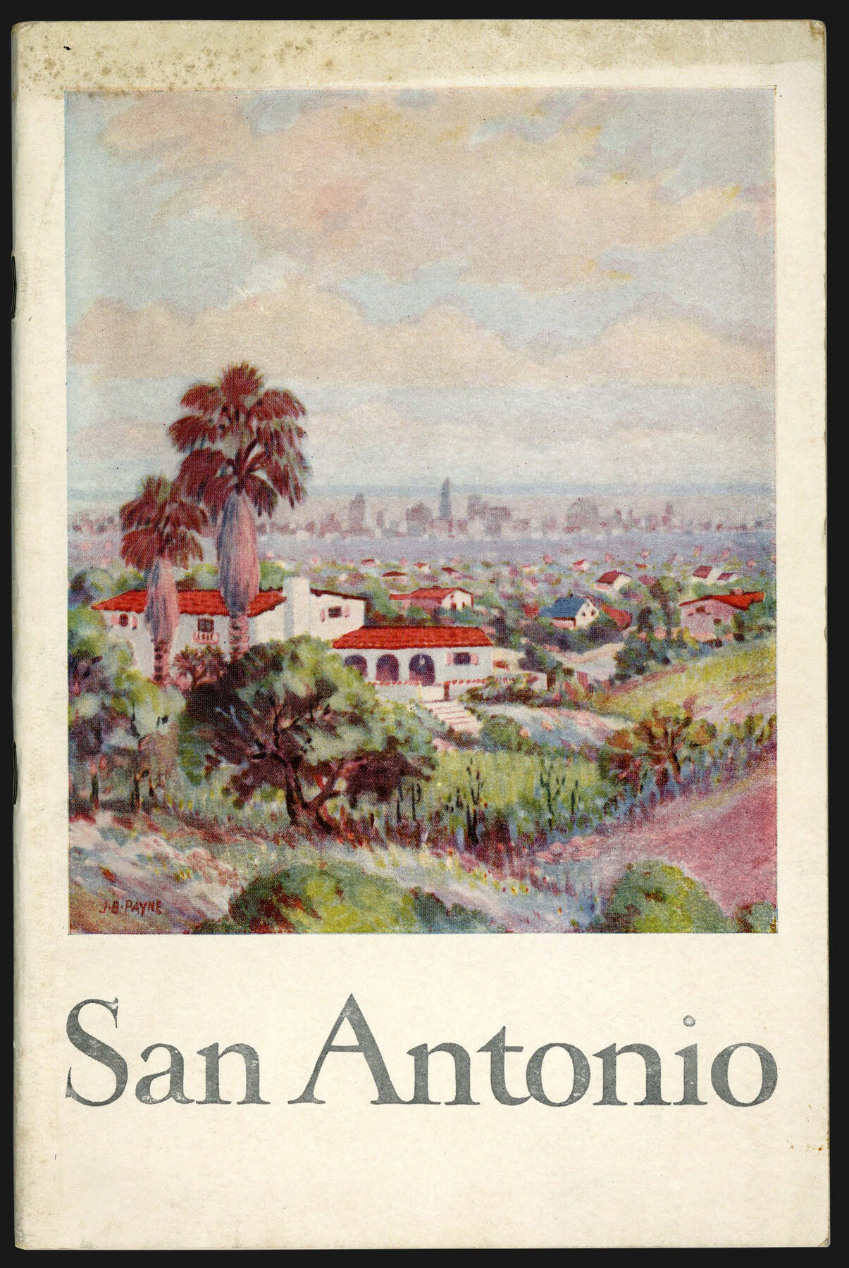
San Antonio
-
Map/Doc
97045
-
Collection
Cobb Digital Map Collection
-
Object Dates
[1930 ca.] (Creation Date)
-
Subjects
City
-
Height x Width
9.3 x 6.3 inches
23.6 x 16.0 cm
-
Medium
booklet
-
Comments
Courtesy of John & Diana Cobb.
Part of: Cobb Digital Map Collection
Capitol Land and Investment Company's List of Texas Lands

Capitol Land and Investment Company's List of Texas Lands
1907
Size 7.9 x 5.2 inches
Map/Doc 97052


Southern Pacific Lines Map of Texas

Print $20.00
- Digital $50.00
Southern Pacific Lines Map of Texas
1928
Size 27.4 x 22.4 inches
Map/Doc 95774

Map of the Texas & Pacific Railway and connections

Print $20.00
- Digital $50.00
Map of the Texas & Pacific Railway and connections
1911
Size 18.1 x 37.1 inches
Map/Doc 95770
Mileage Map of the Best Roads of Texas showing paved roads, road distances

Print $20.00
- Digital $50.00
Mileage Map of the Best Roads of Texas showing paved roads, road distances
1900
Size 21.7 x 28.7 inches
Map/Doc 95894

San Benito, Texas on the Frisco in the Lower Rio Grande Valley

San Benito, Texas on the Frisco in the Lower Rio Grande Valley
1911
Map/Doc 96727
Port Houston, the Commercial Center of the South and West

Port Houston, the Commercial Center of the South and West
1900
Size 4.9 x 6.5 inches
Map/Doc 97068
[Map of Kentucky and Tennessee]
![96623, [Map of Kentucky and Tennessee], Cobb Digital Map Collection](https://historictexasmaps.com/wmedia_w700/maps/96623.tif.jpg)
Print $20.00
- Digital $50.00
[Map of Kentucky and Tennessee]
1869
Size 8.9 x 9.5 inches
Map/Doc 96623
You may also like
No. 2 Chart of Corpus Christi Pass, Texas

Print $20.00
- Digital $50.00
No. 2 Chart of Corpus Christi Pass, Texas
1878
Size 18.4 x 27.3 inches
Map/Doc 73016
Castro County Working Sketch 2

Print $20.00
- Digital $50.00
Castro County Working Sketch 2
Size 30.4 x 26.2 inches
Map/Doc 67897
Fractional Township No. 8 South Range No. 16 East of the Indian Meridian, Indian Territory

Print $20.00
- Digital $50.00
Fractional Township No. 8 South Range No. 16 East of the Indian Meridian, Indian Territory
1896
Size 19.3 x 24.3 inches
Map/Doc 75228
Old Miscellaneous File 4

Print $22.00
- Digital $50.00
Old Miscellaneous File 4
1845
Size 16.5 x 20.8 inches
Map/Doc 75416
Denton County Working Sketch 11

Print $20.00
- Digital $50.00
Denton County Working Sketch 11
1960
Size 26.2 x 20.4 inches
Map/Doc 68616
Terry County Sketch

Print $20.00
- Digital $50.00
Terry County Sketch
1954
Size 13.7 x 20.6 inches
Map/Doc 92413
Pecos County Working Sketch 4

Print $40.00
- Digital $50.00
Pecos County Working Sketch 4
1929
Size 51.3 x 37.6 inches
Map/Doc 71474
Hood County Sketch File 2

Print $4.00
- Digital $50.00
Hood County Sketch File 2
Size 9.7 x 8.2 inches
Map/Doc 26571
English Field Notes of the Spanish Archives - Book D

English Field Notes of the Spanish Archives - Book D
1835
Map/Doc 96542
[Sketch for Mineral Application 26542 - Sabine River between Prairie and Hawkins Creek, F. B. Jackson, Jr.]
![65669, [Sketch for Mineral Application 26542 - Sabine River between Prairie and Hawkins Creek, F. B. Jackson, Jr.], General Map Collection](https://historictexasmaps.com/wmedia_w700/maps/65669.tif.jpg)
Print $40.00
- Digital $50.00
[Sketch for Mineral Application 26542 - Sabine River between Prairie and Hawkins Creek, F. B. Jackson, Jr.]
1931
Size 22.0 x 64.0 inches
Map/Doc 65669
[Strip between Block 8 and Block K4]
![90525, [Strip between Block 8 and Block K4], Twichell Survey Records](https://historictexasmaps.com/wmedia_w700/maps/90525-1.tif.jpg)
Print $2.00
- Digital $50.00
[Strip between Block 8 and Block K4]
Size 5.7 x 7.5 inches
Map/Doc 90525
Kendall County Sketch File 16

Print $4.00
- Digital $50.00
Kendall County Sketch File 16
1877
Size 8.7 x 5.9 inches
Map/Doc 28705