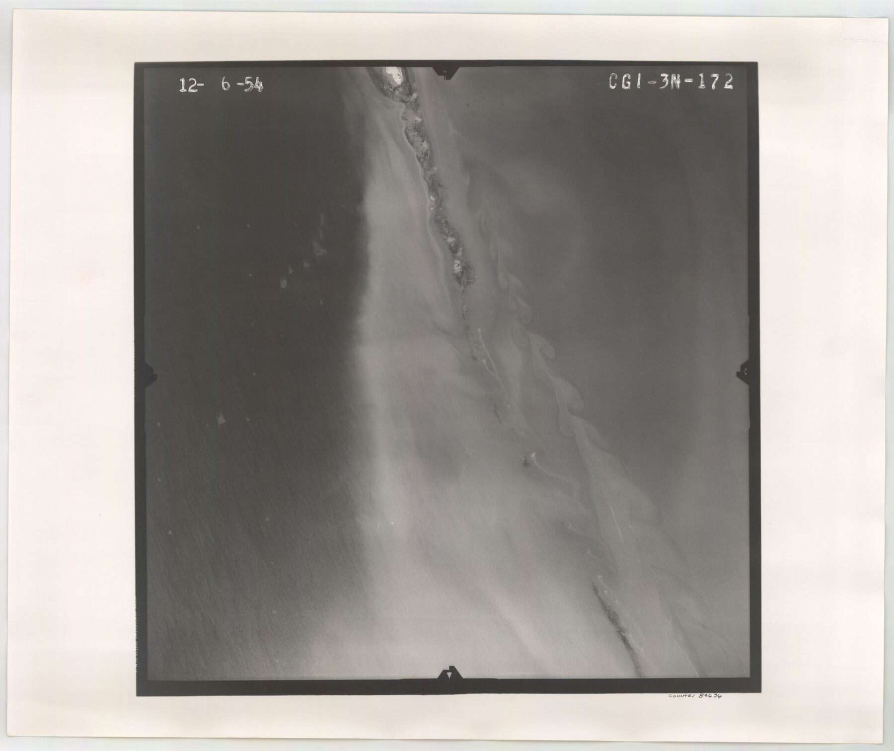
Flight Mission No. CGI-3N, Frame 172, Cameron County
CGI-3N-172
-
Map/Doc
84636
-
Collection
General Map Collection
-
Object Dates
1954/12/6 (Creation Date)
-
People and Organizations
U. S. Department of Agriculture (Publisher)
-
Counties
Cameron
-
Subjects
Aerial Photograph
-
Height x Width
18.7 x 22.3 inches
47.5 x 56.6 cm
-
Comments
Flown by Puckett Aerial Surveys, Inc. of Jackson, Mississippi.
Part of: General Map Collection
Childress County Rolled Sketch 8B

Print $20.00
- Digital $50.00
Childress County Rolled Sketch 8B
Size 13.3 x 18.8 inches
Map/Doc 5444
Uvalde County Sketch File 12A

Print $20.00
- Digital $50.00
Uvalde County Sketch File 12A
1887
Size 19.2 x 30.0 inches
Map/Doc 12527
Amistad International Reservoir on Rio Grande 72

Print $20.00
- Digital $50.00
Amistad International Reservoir on Rio Grande 72
1949
Size 28.4 x 39.6 inches
Map/Doc 73360
Fisher County Sketch File 2

Print $2.00
- Digital $50.00
Fisher County Sketch File 2
1885
Size 12.4 x 7.5 inches
Map/Doc 22548
Glasscock County Working Sketch 8

Print $40.00
- Digital $50.00
Glasscock County Working Sketch 8
1955
Size 43.5 x 120.3 inches
Map/Doc 63181

Upton County Sketch File 32

Print $20.00
- Digital $50.00
Upton County Sketch File 32
1938
Size 14.9 x 24.0 inches
Map/Doc 12523
Flight Mission No. DQN-3K, Frame 50, Calhoun County

Print $20.00
- Digital $50.00
Flight Mission No. DQN-3K, Frame 50, Calhoun County
1953
Size 18.4 x 22.2 inches
Map/Doc 84351
Map of Upshur County

Print $20.00
- Digital $50.00
Map of Upshur County
Size 18.5 x 23.2 inches
Map/Doc 76755
[Right of Way & Track Map, The Texas & Pacific Ry. Co. Main Line]
![64676, [Right of Way & Track Map, The Texas & Pacific Ry. Co. Main Line], General Map Collection](https://historictexasmaps.com/wmedia_w700/maps/64676.tif.jpg)
Print $20.00
- Digital $50.00
[Right of Way & Track Map, The Texas & Pacific Ry. Co. Main Line]
Size 11.0 x 18.6 inches
Map/Doc 64676
Starr County Sketch File 48a

Print $40.00
- Digital $50.00
Starr County Sketch File 48a
1950
Size 9.0 x 22.0 inches
Map/Doc 37005
Edwards County Working Sketch 122

Print $20.00
- Digital $50.00
Edwards County Working Sketch 122
1976
Size 25.8 x 33.9 inches
Map/Doc 68998
You may also like
W. D. Twichell's R. S. Hunnicutt's Resurvey in Oldham County, Texas June to November, 1915

Print $40.00
- Digital $50.00
W. D. Twichell's R. S. Hunnicutt's Resurvey in Oldham County, Texas June to November, 1915
1915
Size 71.3 x 42.6 inches
Map/Doc 89799
Fort Bend County Working Sketch 14

Print $20.00
- Digital $50.00
Fort Bend County Working Sketch 14
1948
Size 37.4 x 32.7 inches
Map/Doc 69220
Childress County Rolled Sketch 16A

Print $20.00
- Digital $50.00
Childress County Rolled Sketch 16A
Size 44.3 x 36.9 inches
Map/Doc 8599
Nueces County Sketch File 11

Print $40.00
- Digital $50.00
Nueces County Sketch File 11
1859
Size 11.2 x 8.6 inches
Map/Doc 32518
[Part of Block XR along New Mexico State Line]
![90665, [Part of Block XR along New Mexico State Line], Twichell Survey Records](https://historictexasmaps.com/wmedia_w700/maps/90665-1.tif.jpg)
Print $20.00
- Digital $50.00
[Part of Block XR along New Mexico State Line]
Size 22.2 x 5.5 inches
Map/Doc 90665
Map of Austin County

Print $20.00
- Digital $50.00
Map of Austin County
1863
Size 25.7 x 29.8 inches
Map/Doc 3253
Kent County Boundary File 5

Print $6.00
- Digital $50.00
Kent County Boundary File 5
Size 8.6 x 8.6 inches
Map/Doc 55865
Flight Mission No. CLL-1N, Frame 159, Willacy County

Print $20.00
- Digital $50.00
Flight Mission No. CLL-1N, Frame 159, Willacy County
1954
Size 18.4 x 22.2 inches
Map/Doc 87050
Leon County Working Sketch 55

Print $20.00
- Digital $50.00
Leon County Working Sketch 55
1989
Size 18.7 x 18.3 inches
Map/Doc 70455
Leon County Working Sketch 4

Print $20.00
- Digital $50.00
Leon County Working Sketch 4
Size 18.1 x 14.0 inches
Map/Doc 70403
Map of Clay Co.

Print $40.00
- Digital $50.00
Map of Clay Co.
1896
Size 51.9 x 31.0 inches
Map/Doc 4785
Map of North America

Print $20.00
- Digital $50.00
Map of North America
1720
Size 25.0 x 39.6 inches
Map/Doc 93823