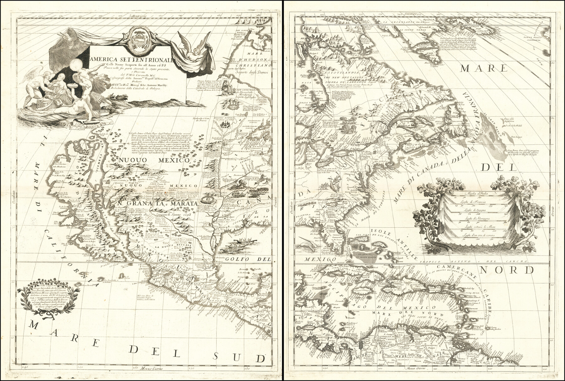
America Settentrionale Colle Nuoue Scoperte sin all' Anno 1688
-
Map/Doc
96506
-
Collection
Holcomb Digital Map Collection
-
Object Dates
1688 (Creation Date)
-
People and Organizations
[Vincenzo Maria] Coronelli (Author)
-
Subjects
North America
-
Height x Width
25.4 x 37.6 inches
64.5 x 95.5 cm
-
Medium
digital image
-
Comments
Courtesy of Frank and Carol Holcomb.
Part of: Holcomb Digital Map Collection
Nuevo Mapa Geographico de la America Septentrional, Perteneciente al Virreynato de Mexico

Print $20.00
- Digital $50.00
Nuevo Mapa Geographico de la America Septentrional, Perteneciente al Virreynato de Mexico
1768
Size 23.1 x 30.3 inches
Map/Doc 93835
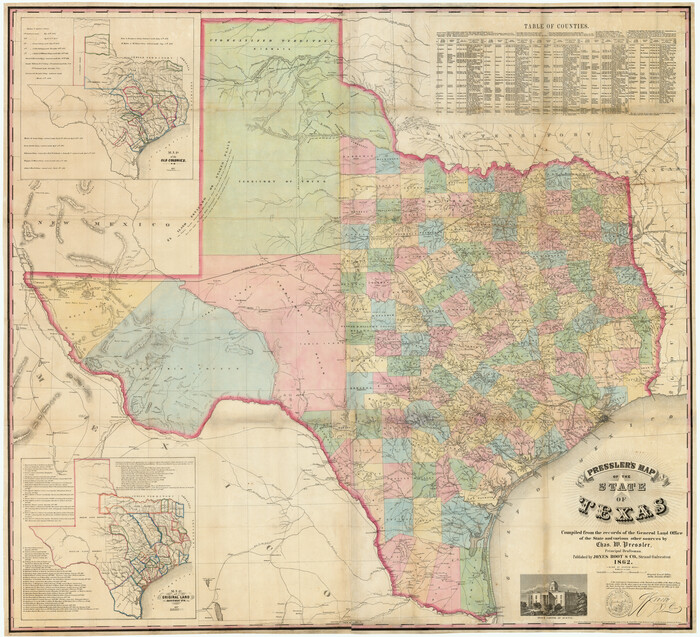
Pressler's Map of the State of Texas
Print $40.00
- Digital $50.00
Pressler's Map of the State of Texas
1862
Size 48.0 x 52.7 inches
Map/Doc 95714
America with those known parts in that unknowne worlde both people and manner of buildings

Print $20.00
- Digital $50.00
America with those known parts in that unknowne worlde both people and manner of buildings
1626
Size 17.2 x 22.3 inches
Map/Doc 93830
Map of the United States and Canada designed to accompany Smith's Geography for Schools

Print $20.00
- Digital $50.00
Map of the United States and Canada designed to accompany Smith's Geography for Schools
1850
Size 12.1 x 19.2 inches
Map/Doc 93884
Disturnell's New Map of the United States and Canada; showing all the canals, railroads, telegraph lines and principal stage routes

Print $20.00
- Digital $50.00
Disturnell's New Map of the United States and Canada; showing all the canals, railroads, telegraph lines and principal stage routes
1853
Size 28.1 x 40.9 inches
Map/Doc 93900

A New Map of Texas with the Contiguous American & Mexican States

Print $20.00
- Digital $50.00
A New Map of Texas with the Contiguous American & Mexican States
1837
Size 12.5 x 15.1 inches
Map/Doc 96643
Americae Sive Novi Orbis Nova Descriptio

Print $20.00
- Digital $50.00
Americae Sive Novi Orbis Nova Descriptio
1606
Size 16.5 x 22.4 inches
Map/Doc 93810
Americae Pars Borealis, Florida, Baccalaos, Canada, Corterealis

Print $20.00
- Digital $50.00
Americae Pars Borealis, Florida, Baccalaos, Canada, Corterealis
1593
Size 16.2 x 22.1 inches
Map/Doc 93832
Pressler's Map of Texas

Print $2.00
- Digital $50.00
Pressler's Map of Texas
1867
Size 9.0 x 6.0 inches
Map/Doc 93920
Map of the United States of America, the British Provinces, Mexico, the West Indies and Central America with part of New Granada and Venezuela

Print $20.00
- Digital $50.00
Map of the United States of America, the British Provinces, Mexico, the West Indies and Central America with part of New Granada and Venezuela
1855
Size 34.7 x 44.0 inches
Map/Doc 93904
L'Amerique Meridionale et Septentrionale

Print $20.00
- Digital $50.00
L'Amerique Meridionale et Septentrionale
1731
Size 20.0 x 28.3 inches
Map/Doc 93825
You may also like
General Highway Map, Caldwell County, Texas

Print $20.00
General Highway Map, Caldwell County, Texas
1961
Size 18.3 x 24.6 inches
Map/Doc 79394
Bell County Working Sketch 1

Print $20.00
- Digital $50.00
Bell County Working Sketch 1
1915
Size 20.7 x 13.2 inches
Map/Doc 67341
Harris County State Real Property Sketch 6

Print $20.00
- Digital $50.00
Harris County State Real Property Sketch 6
Size 23.6 x 35.9 inches
Map/Doc 96641
Flight Mission No. DAH-17M, Frame 25, Orange County

Print $20.00
- Digital $50.00
Flight Mission No. DAH-17M, Frame 25, Orange County
1953
Size 18.7 x 22.3 inches
Map/Doc 86888
Gaines County Working Sketch 30

Print $20.00
- Digital $50.00
Gaines County Working Sketch 30
Size 18.3 x 26.4 inches
Map/Doc 69330
The Land Offices. December 22, 1836

Print $20.00
- Digital $50.00
The Land Offices. December 22, 1836
2020
Size 12.4 x 10.8 inches
Map/Doc 96425
Wichita County Working Sketch 17

Print $20.00
- Digital $50.00
Wichita County Working Sketch 17
Size 25.6 x 26.1 inches
Map/Doc 72527
Hudspeth County Sketch File 42

Print $12.00
- Digital $50.00
Hudspeth County Sketch File 42
1982
Size 14.2 x 8.7 inches
Map/Doc 27016
Flight Mission No. DAG-17K, Frame 60, Matagorda County

Print $20.00
- Digital $50.00
Flight Mission No. DAG-17K, Frame 60, Matagorda County
1952
Size 18.5 x 22.3 inches
Map/Doc 86322
Kinney County Boundary File 1b

Print $8.00
- Digital $50.00
Kinney County Boundary File 1b
Size 14.3 x 8.7 inches
Map/Doc 64955
Burleson County Rolled Sketch 1

Print $631.00
- Digital $50.00
Burleson County Rolled Sketch 1
Size 10.2 x 16.5 inches
Map/Doc 43342
Gaines County Boundary File 4

Print $4.00
- Digital $50.00
Gaines County Boundary File 4
Size 14.4 x 8.9 inches
Map/Doc 53656