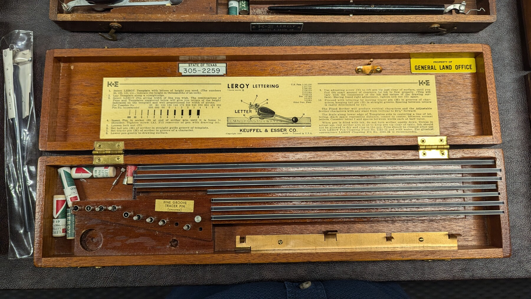
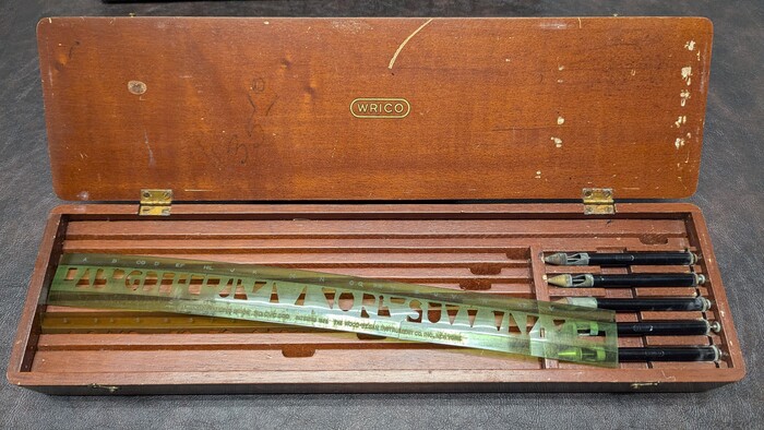
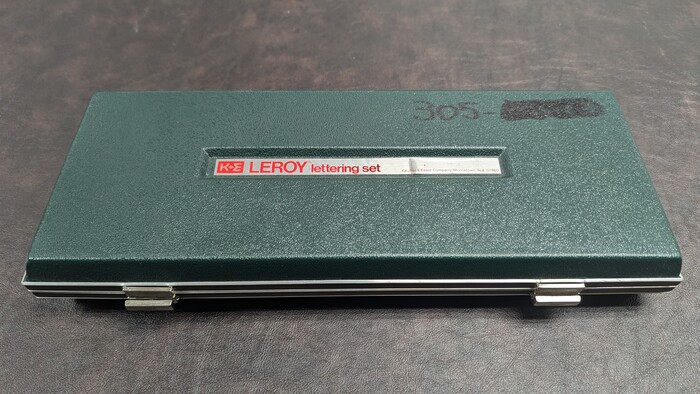
K&E Leroy Lettering Set - 3240
Manufacturer: Keuffel & Esser Co. State Inventory Tag: 305-2259 Case: Wooden Box Manufacture Location: Hoboken
-
Map/Doc
97313
-
Collection
Equipment and Tools
-
Object Dates
1950 (Creation Date)
-
Height x Width
1.8 x 15.8 inches
4.4 x 40.0 cm
Part of: Equipment and Tools
K&E Paragon N4238 Compensating Polar Planimeter
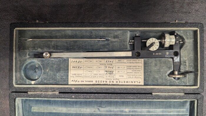

K&E Paragon N4238 Compensating Polar Planimeter
1930
Size 1.5 x 9.3 inches
Map/Doc 97308
K&E Leroy Lettering Set - 3240
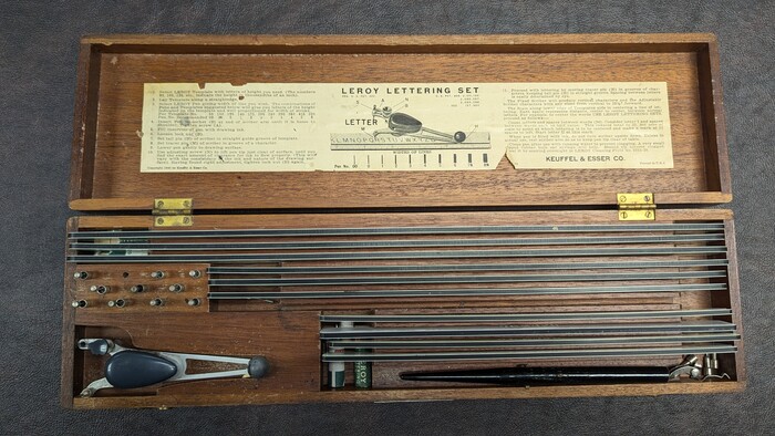

K&E Leroy Lettering Set - 3240
1944
Size 1.8 x 15.5 inches
Map/Doc 97314
Dietzgen "Federal" 986 Proportional Divider Drafting Tool
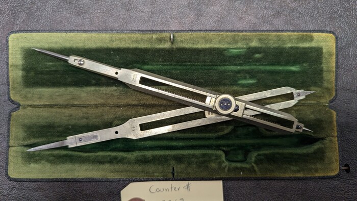

Dietzgen "Federal" 986 Proportional Divider Drafting Tool
Size 1.0 x 8.3 inches
Map/Doc 97307
Half-circle Protractor with Arm and Vernier
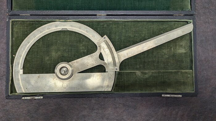

Half-circle Protractor with Arm and Vernier
Size 0.8 x 15.0 inches
Map/Doc 97309
You may also like
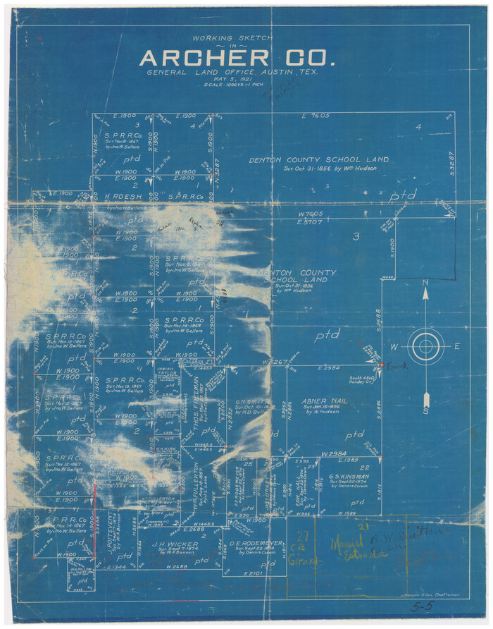
Working Sketch in Archer County

Print $20.00
- Digital $50.00
Working Sketch in Archer County
1921
Size 15.9 x 19.8 inches
Map/Doc 90169
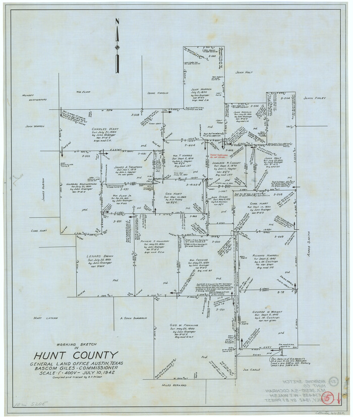
Hunt County Working Sketch 5

Print $20.00
- Digital $50.00
Hunt County Working Sketch 5
1942
Size 23.8 x 20.2 inches
Map/Doc 66352
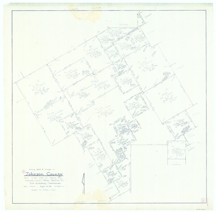
Johnson County Working Sketch 16

Print $20.00
- Digital $50.00
Johnson County Working Sketch 16
1981
Size 37.3 x 38.0 inches
Map/Doc 66629
Flight Mission No. DIX-8P, Frame 91, Aransas County


Print $20.00
- Digital $50.00
Flight Mission No. DIX-8P, Frame 91, Aransas County
1956
Size 18.5 x 22.4 inches
Map/Doc 83916
The University of Texas at Austin


The University of Texas at Austin
Size 16.1 x 17.1 inches
Map/Doc 94387
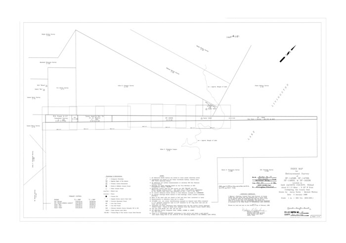
San Jacinto County Rolled Sketch 14

Print $20.00
- Digital $50.00
San Jacinto County Rolled Sketch 14
1998
Size 30.0 x 42.7 inches
Map/Doc 7563
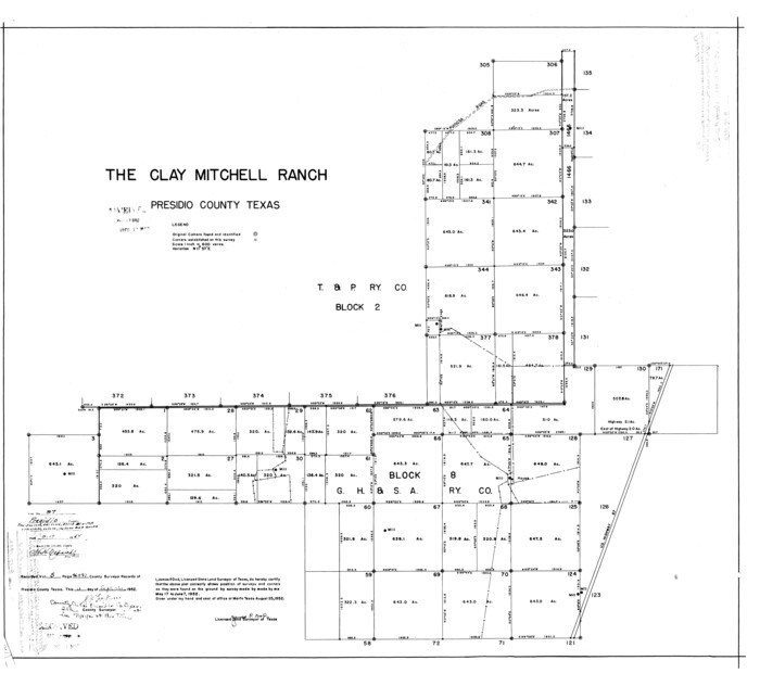
Presidio County Rolled Sketch 97

Print $20.00
- Digital $50.00
Presidio County Rolled Sketch 97
1952
Size 32.0 x 35.5 inches
Map/Doc 9783
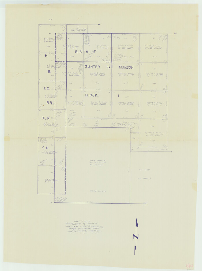
Hemphill County Working Sketch 32

Print $20.00
- Digital $50.00
Hemphill County Working Sketch 32
1976
Size 45.8 x 34.2 inches
Map/Doc 66127
Robertson County Sketch File 5


Print $6.00
Robertson County Sketch File 5
1863
Size 12.0 x 9.0 inches
Map/Doc 35358
Flight Mission No. CRC-3R, Frame 39, Chambers County

Print $20.00
- Digital $50.00
Flight Mission No. CRC-3R, Frame 39, Chambers County
1956
Size 18.6 x 22.4 inches
Map/Doc 84812
Menard County Sketch File 22


Print $8.00
- Digital $50.00
Menard County Sketch File 22
1927
Size 7.4 x 8.6 inches
Map/Doc 31553
