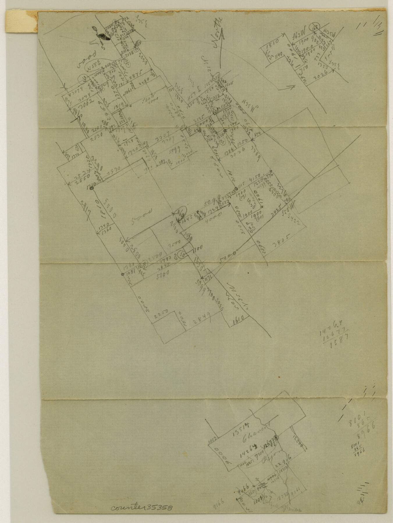
Robertson County Sketch File 5
[Office sketches of surveys in the vicinity of Steele Creek near the Robertson-Limestone County line]
-
Map/Doc
35358
-
Collection
General Map Collection
-
Object Dates
3/31/1863 (Creation Date)
-
Counties
Robertson Limestone
-
Subjects
Surveying Sketch File
-
Height x Width
12.0 x 9.0 inches
30.5 x 22.9 cm
-
Medium
paper, manuscript
Part of: General Map Collection
Right of Way and Track Map, Galveston, Harrisburg & San Antonio Ry. operated by the T. & N. O. R.R. Co., Victoria Division, Rosenberg to Beeville

Print $40.00
- Digital $50.00
Right of Way and Track Map, Galveston, Harrisburg & San Antonio Ry. operated by the T. & N. O. R.R. Co., Victoria Division, Rosenberg to Beeville
1918
Size 24.4 x 57.9 inches
Map/Doc 76158
Motley County Sketch File F (S)

Print $14.00
- Digital $50.00
Motley County Sketch File F (S)
1904
Size 9.1 x 5.9 inches
Map/Doc 32179
Winkler County

Print $20.00
- Digital $50.00
Winkler County
1932
Size 40.3 x 40.1 inches
Map/Doc 77462
Flight Mission No. BRA-8M, Frame 116, Jefferson County

Print $20.00
- Digital $50.00
Flight Mission No. BRA-8M, Frame 116, Jefferson County
1953
Size 18.6 x 22.4 inches
Map/Doc 85612
Galveston County NRC Article 33.136 Sketch 65

Print $28.00
- Digital $50.00
Galveston County NRC Article 33.136 Sketch 65
2012
Size 24.0 x 36.0 inches
Map/Doc 93328
Val Verde County Rolled Sketch 30

Print $20.00
- Digital $50.00
Val Verde County Rolled Sketch 30
1884
Size 43.8 x 26.4 inches
Map/Doc 8111

Jeff Davis County Rolled Sketch 25

Print $20.00
- Digital $50.00
Jeff Davis County Rolled Sketch 25
1953
Size 22.6 x 32.1 inches
Map/Doc 6373
Callahan County Sketch File 2

Print $8.00
- Digital $50.00
Callahan County Sketch File 2
1858
Size 11.8 x 8.7 inches
Map/Doc 35853
Pecos County Rolled Sketch JAS-1A

Print $40.00
- Digital $50.00
Pecos County Rolled Sketch JAS-1A
1960
Size 43.5 x 63.3 inches
Map/Doc 9746
Hardin County Rolled Sketch W

Print $40.00
- Digital $50.00
Hardin County Rolled Sketch W
1937
Size 48.6 x 44.4 inches
Map/Doc 9105
Burnet County Working Sketch 14

Print $20.00
- Digital $50.00
Burnet County Working Sketch 14
1978
Size 37.0 x 38.5 inches
Map/Doc 67857
You may also like
A map of Lewis and Clark's track across the western portion of North America from the Mississippi to the Pacific Ocean, by Order of the executive of the United States in 1804, 5, & 6

Print $20.00
- Digital $50.00
A map of Lewis and Clark's track across the western portion of North America from the Mississippi to the Pacific Ocean, by Order of the executive of the United States in 1804, 5, & 6
1814
Size 13.3 x 27.9 inches
Map/Doc 97412
Frio County Working Sketch 27

Print $20.00
- Digital $50.00
Frio County Working Sketch 27
Size 25.3 x 36.8 inches
Map/Doc 78193
Brazoria County Working Sketch 15

Print $20.00
- Digital $50.00
Brazoria County Working Sketch 15
1940
Size 18.2 x 38.6 inches
Map/Doc 67500
Pecos County Rolled Sketch DK4

Print $20.00
- Digital $50.00
Pecos County Rolled Sketch DK4
Size 41.2 x 30.2 inches
Map/Doc 7309
Presidio County Sketch File 108

Print $6.00
- Digital $50.00
Presidio County Sketch File 108
Size 10.9 x 8.5 inches
Map/Doc 41455
[Showing west and north line of County]
![90652, [Showing west and north line of County], Twichell Survey Records](https://historictexasmaps.com/wmedia_w700/maps/90652-1.tif.jpg)
Print $20.00
- Digital $50.00
[Showing west and north line of County]
1885
Size 21.3 x 29.0 inches
Map/Doc 90652
Garza County Working Sketch 5

Print $20.00
- Digital $50.00
Garza County Working Sketch 5
1943
Size 19.4 x 34.7 inches
Map/Doc 63152
Gregg County Rolled Sketch 15

Print $40.00
- Digital $50.00
Gregg County Rolled Sketch 15
1941
Size 42.7 x 57.1 inches
Map/Doc 9066
General Highway Map, Medina County, Texas

Print $20.00
General Highway Map, Medina County, Texas
1940
Size 18.3 x 24.5 inches
Map/Doc 79194
Motley County Sketch File 22 (N)

Print $34.00
- Digital $50.00
Motley County Sketch File 22 (N)
1887
Size 8.2 x 8.4 inches
Map/Doc 32069
The Republic County of Milam. Proposed, Late Fall 1837

Print $20.00
The Republic County of Milam. Proposed, Late Fall 1837
2020
Size 19.9 x 21.7 inches
Map/Doc 96225
Flight Mission No. CGI-3N, Frame 68, Cameron County

Print $20.00
- Digital $50.00
Flight Mission No. CGI-3N, Frame 68, Cameron County
1954
Size 18.4 x 22.2 inches
Map/Doc 84562