
Wooden Yard Stick
Manufacturer: Whiteselle Brick & Lumber Co. Manufacture Location: Corsicana, TX
-
Map/Doc
97319
-
Collection
General Map Collection
-
Height x Width
36.0 x 1.8 inches
91.4 x 4.4 cm
Part of: General Map Collection
Flight Mission No. BQR-9K, Frame 53, Brazoria County

Print $20.00
- Digital $50.00
Flight Mission No. BQR-9K, Frame 53, Brazoria County
1952
Size 18.7 x 22.3 inches
Map/Doc 84057
Liberty County Working Sketch 15

Print $20.00
- Digital $50.00
Liberty County Working Sketch 15
1922
Size 19.0 x 15.0 inches
Map/Doc 70474
Flight Mission No. CRC-4R, Frame 96, Chambers County

Print $20.00
- Digital $50.00
Flight Mission No. CRC-4R, Frame 96, Chambers County
1956
Size 18.4 x 22.2 inches
Map/Doc 84893
Louisiana and Texas Intracoastal Waterway

Print $20.00
- Digital $50.00
Louisiana and Texas Intracoastal Waterway
1929
Size 13.9 x 19.3 inches
Map/Doc 83343
Galveston County Boundary File 32

Print $52.00
- Digital $50.00
Galveston County Boundary File 32
Size 16.7 x 13.6 inches
Map/Doc 53658
Webb County Working Sketch 39

Print $20.00
- Digital $50.00
Webb County Working Sketch 39
Size 22.9 x 17.2 inches
Map/Doc 72404
Brazoria County Sketch File 51

Print $380.00
- Digital $50.00
Brazoria County Sketch File 51
1926
Size 14.1 x 7.8 inches
Map/Doc 15125
Andrews County Working Sketch 8

Print $20.00
- Digital $50.00
Andrews County Working Sketch 8
1954
Size 18.2 x 14.9 inches
Map/Doc 67054
Terrell County Working Sketch 43
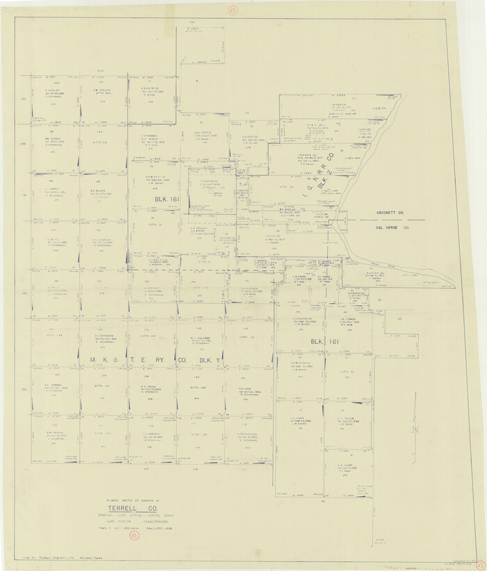
Print $20.00
- Digital $50.00
Terrell County Working Sketch 43
Size 45.0 x 38.4 inches
Map/Doc 62136
Station Map, the Missouri, Kansas and Texas Ry. Of Texas - Henrietta Division

Print $20.00
- Digital $50.00
Station Map, the Missouri, Kansas and Texas Ry. Of Texas - Henrietta Division
1918
Size 11.8 x 26.7 inches
Map/Doc 64763
Zapata County Working Sketch 8

Print $20.00
- Digital $50.00
Zapata County Working Sketch 8
Size 25.3 x 23.1 inches
Map/Doc 62059
Presidio County Working Sketch 144

Print $20.00
- Digital $50.00
Presidio County Working Sketch 144
Size 20.4 x 26.6 inches
Map/Doc 71822
You may also like
Dimmit County Sketch File 60

Print $4.00
- Digital $50.00
Dimmit County Sketch File 60
1991
Size 14.2 x 8.8 inches
Map/Doc 21206
Roberts County

Print $20.00
- Digital $50.00
Roberts County
1900
Size 43.4 x 42.0 inches
Map/Doc 63002
Jefferson County Aerial Photograph Index Sheet 7

Print $20.00
- Digital $50.00
Jefferson County Aerial Photograph Index Sheet 7
1953
Size 23.3 x 16.9 inches
Map/Doc 83711
Irion County Rolled Sketch 2

Print $20.00
- Digital $50.00
Irion County Rolled Sketch 2
Size 27.8 x 39.7 inches
Map/Doc 6317
Nueces River, Bluntzer Sheet

Print $20.00
- Digital $50.00
Nueces River, Bluntzer Sheet
1927
Size 35.3 x 42.9 inches
Map/Doc 65088
Flight Mission No. CLL-3N, Frame 44, Willacy County

Print $20.00
- Digital $50.00
Flight Mission No. CLL-3N, Frame 44, Willacy County
1954
Size 18.4 x 22.0 inches
Map/Doc 87102
Nueces County Sketch File 60

Print $14.00
- Digital $50.00
Nueces County Sketch File 60
1940
Size 11.1 x 8.8 inches
Map/Doc 32962
Webb County Sketch File 50-1

Print $8.00
- Digital $50.00
Webb County Sketch File 50-1
1943
Size 14.5 x 8.9 inches
Map/Doc 39833
Dickens County Sketch File 17

Print $6.00
- Digital $50.00
Dickens County Sketch File 17
1909
Size 12.2 x 11.8 inches
Map/Doc 20977
Angelina County Working Sketch 29

Print $20.00
- Digital $50.00
Angelina County Working Sketch 29
1955
Size 24.9 x 23.3 inches
Map/Doc 67111
Township 2 North Range 12 West, North Western District, Louisiana

Print $20.00
- Digital $50.00
Township 2 North Range 12 West, North Western District, Louisiana
1884
Size 19.6 x 24.7 inches
Map/Doc 65875
El Paso County Rolled Sketch VD

Print $40.00
- Digital $50.00
El Paso County Rolled Sketch VD
1915
Size 18.4 x 67.4 inches
Map/Doc 8862