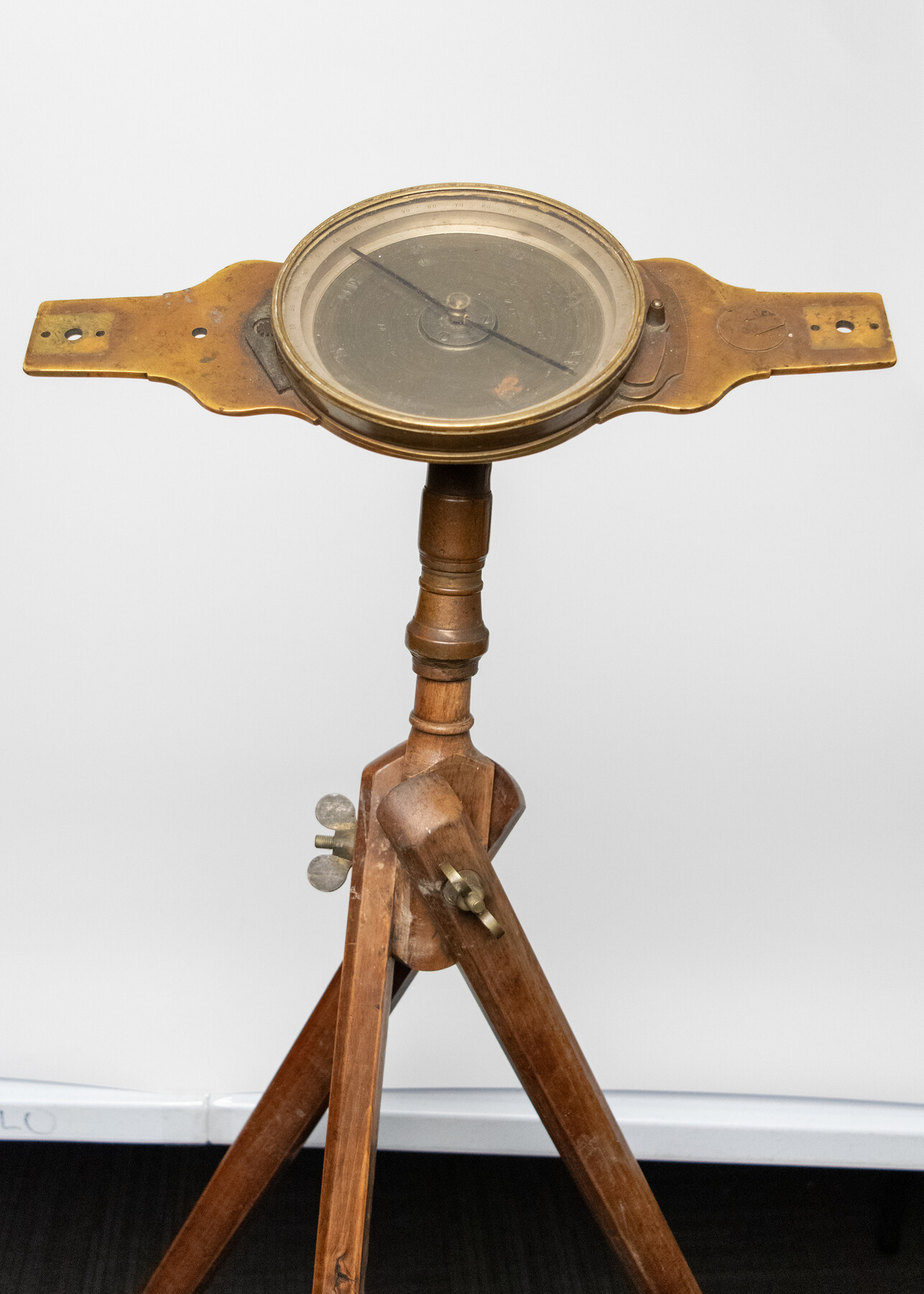
Wooden tripod
-
Map/Doc
97379
-
Collection
General Map Collection
-
Object Dates
11/12/2024 (Donation Date)
-
People and Organizations
Don T. King (Donor)
Part of: General Map Collection
Kent County Boundary File 4a


Print $18.00
- Digital $50.00
Kent County Boundary File 4a
Size 14.2 x 8.5 inches
Map/Doc 55838
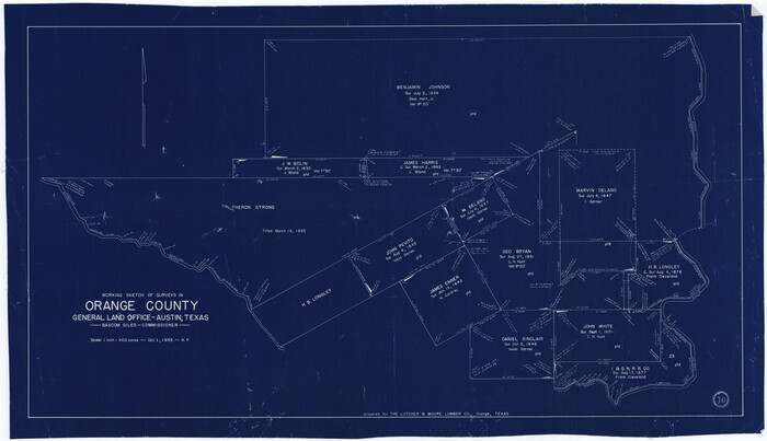
Orange County Working Sketch 30

Print $20.00
- Digital $50.00
Orange County Working Sketch 30
Size 19.7 x 34.2 inches
Map/Doc 71362
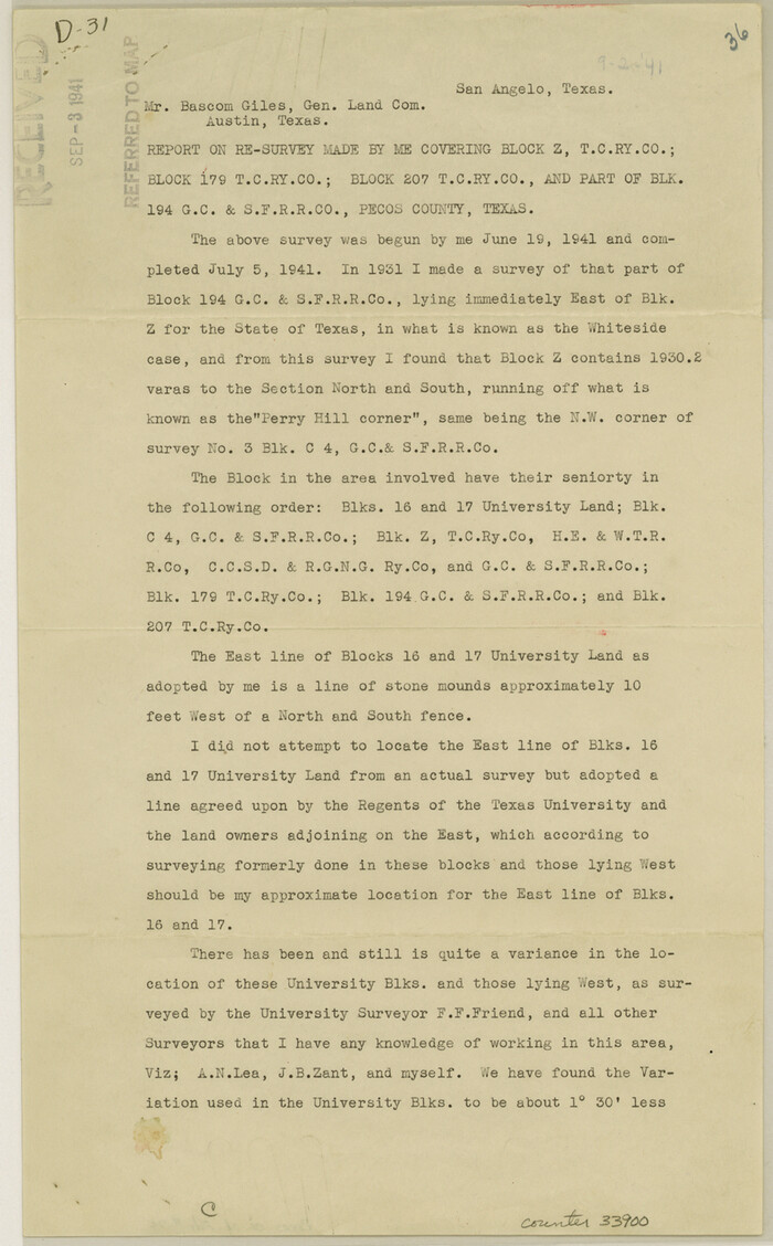
Pecos County Sketch File 74

Print $8.00
- Digital $50.00
Pecos County Sketch File 74
1941
Size 14.1 x 8.8 inches
Map/Doc 33900
Navigation Maps of Gulf Intracoastal Waterway, Port Arthur to Brownsville, Texas


Print $4.00
- Digital $50.00
Navigation Maps of Gulf Intracoastal Waterway, Port Arthur to Brownsville, Texas
1951
Size 16.7 x 21.5 inches
Map/Doc 65418
Real County Rolled Sketch 18

Print $20.00
- Digital $50.00
Real County Rolled Sketch 18
Size 22.0 x 28.0 inches
Map/Doc 7466
Sterling County Sketch File 3


Print $20.00
- Digital $50.00
Sterling County Sketch File 3
Size 14.5 x 34.8 inches
Map/Doc 12355
Aransas County NRC Article 33.136 Sketch 10


Print $26.00
- Digital $50.00
Aransas County NRC Article 33.136 Sketch 10
Size 24.2 x 36.0 inches
Map/Doc 95016
Karnes County Sketch File 4


Print $8.00
- Digital $50.00
Karnes County Sketch File 4
1852
Size 5.5 x 6.8 inches
Map/Doc 28550
Matagorda County Working Sketch Graphic Index, Sheet 2 (Sketches 17 to Most Recent)


Print $40.00
- Digital $50.00
Matagorda County Working Sketch Graphic Index, Sheet 2 (Sketches 17 to Most Recent)
1920
Size 40.1 x 48.6 inches
Map/Doc 76634
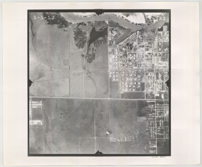
Flight Mission No. BQY-14M, Frame 183, Harris County

Print $20.00
- Digital $50.00
Flight Mission No. BQY-14M, Frame 183, Harris County
1953
Size 18.5 x 22.4 inches
Map/Doc 85299
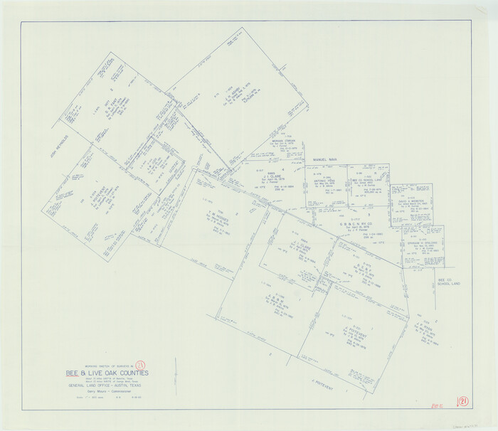
Bee County Working Sketch 21

Print $20.00
- Digital $50.00
Bee County Working Sketch 21
1983
Size 32.5 x 37.5 inches
Map/Doc 67271
Palo Pinto County Rolled Sketch 5


Print $40.00
- Digital $50.00
Palo Pinto County Rolled Sketch 5
1917
Size 53.8 x 35.8 inches
Map/Doc 76022
You may also like
Gonzales County Working Sketch 3


Print $20.00
- Digital $50.00
Gonzales County Working Sketch 3
1943
Size 37.8 x 41.5 inches
Map/Doc 63218
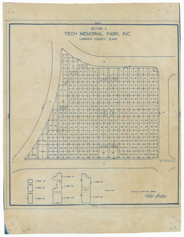
Section C Tech Memorial Park, Inc.

Print $2.00
- Digital $50.00
Section C Tech Memorial Park, Inc.
Size 8.1 x 10.5 inches
Map/Doc 92351
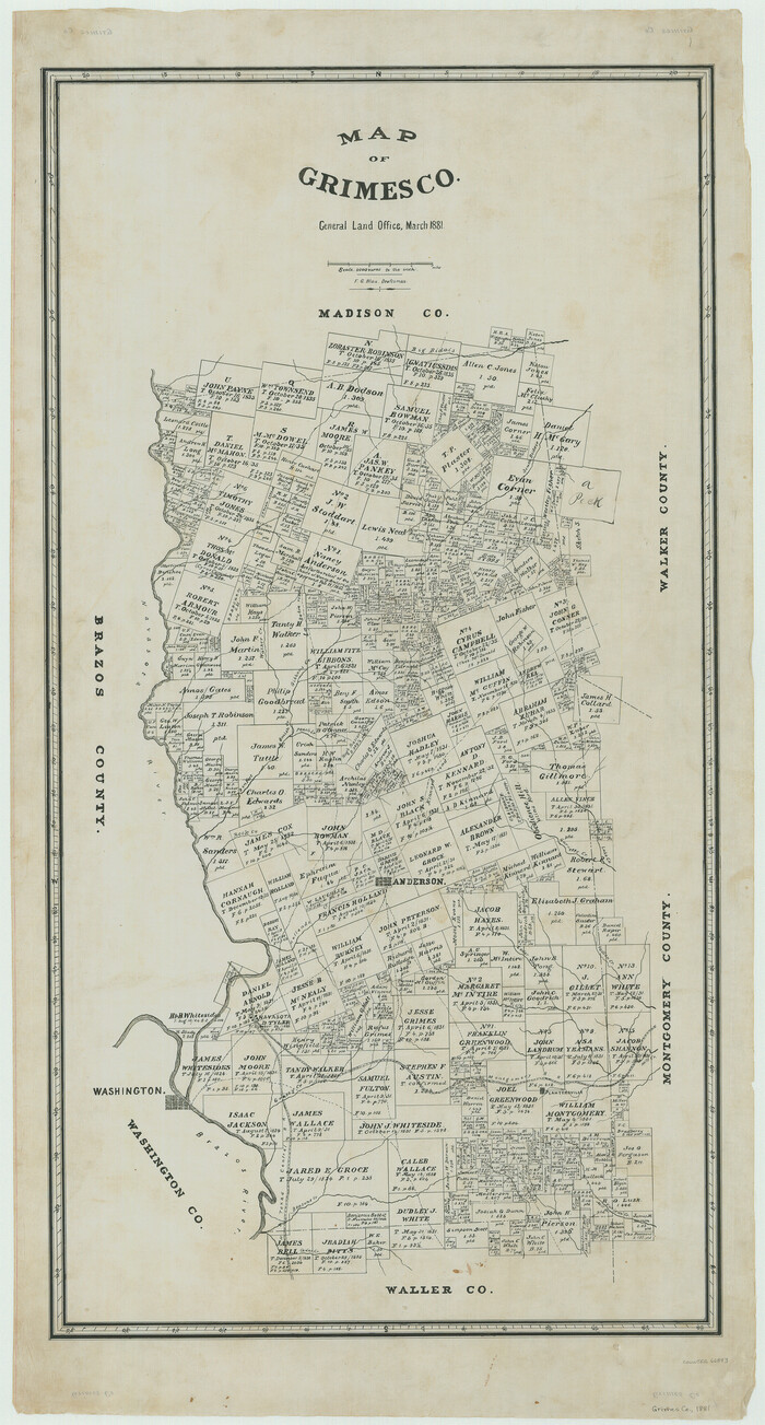
Map of Grimes Co.

Print $20.00
- Digital $50.00
Map of Grimes Co.
1881
Size 32.6 x 17.5 inches
Map/Doc 66843
Revised Sectional Map Number 2, Lands in Texas and Pacific Railway Reservation From Westbrook Station in Mitchell County to Metz Station in Ector County


Print $20.00
- Digital $50.00
Revised Sectional Map Number 2, Lands in Texas and Pacific Railway Reservation From Westbrook Station in Mitchell County to Metz Station in Ector County
Size 25.1 x 19.6 inches
Map/Doc 91366
Baylor County Sketch File A8
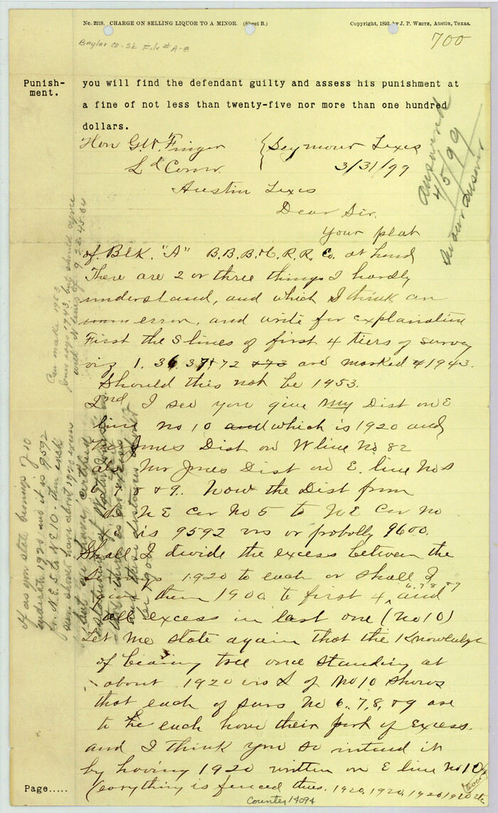

Print $4.00
- Digital $50.00
Baylor County Sketch File A8
1899
Size 14.1 x 8.7 inches
Map/Doc 14094
Part of original sketch of Block "H" W. & N. W. Ry. Co. Cottle County
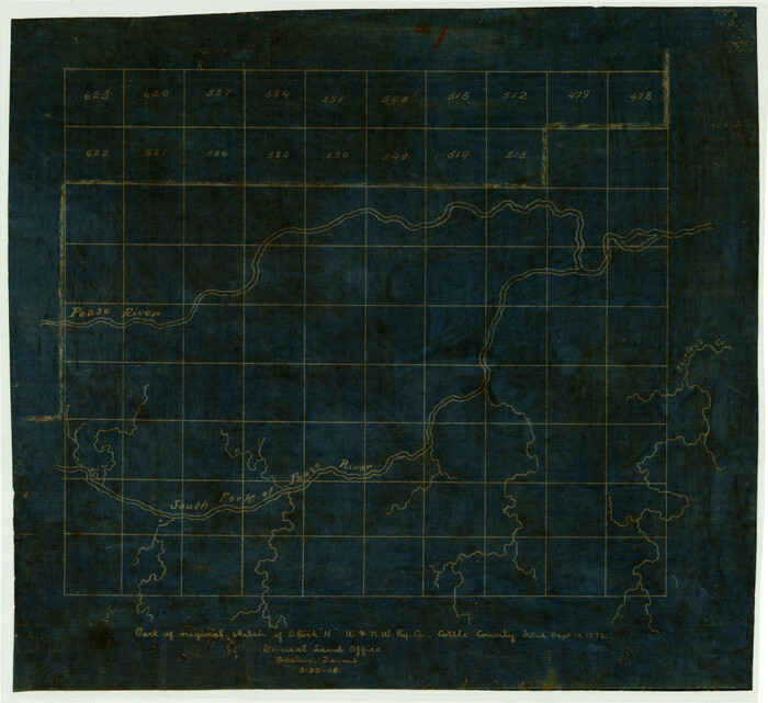

Print $20.00
- Digital $50.00
Part of original sketch of Block "H" W. & N. W. Ry. Co. Cottle County
Size 14.3 x 15.6 inches
Map/Doc 613
Flight Mission No. DAG-21K, Frame 28, Matagorda County


Print $20.00
- Digital $50.00
Flight Mission No. DAG-21K, Frame 28, Matagorda County
1952
Size 18.6 x 22.4 inches
Map/Doc 86395
Webb County Working Sketch 21


Print $20.00
- Digital $50.00
Webb County Working Sketch 21
Size 28.7 x 24.7 inches
Map/Doc 72386
'O Bar O' Ranch


Print $20.00
- Digital $50.00
'O Bar O' Ranch
1946
Size 21.1 x 36.2 inches
Map/Doc 92162
Runnels County Working Sketch 8
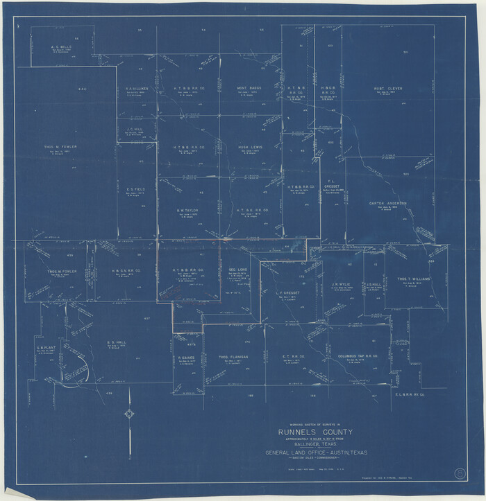

Print $20.00
- Digital $50.00
Runnels County Working Sketch 8
Size 38.4 x 37.1 inches
Map/Doc 63604
Map of the River Sabine from Logan's Ferry to 32nd degree of north latitude
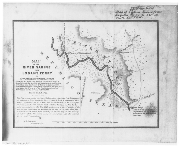

Print $2.00
- Digital $50.00
Map of the River Sabine from Logan's Ferry to 32nd degree of north latitude
1841
Size 8.6 x 10.5 inches
Map/Doc 65388
[Townships 1, 2, 3, Blocks, 62, 61, 60, 59, 58, 57, 56]
![92884, [Townships 1, 2, 3, Blocks, 62, 61, 60, 59, 58, 57, 56], Twichell Survey Records](https://historictexasmaps.com/wmedia_w700/maps/92884-1.tif.jpg)
![92884, [Townships 1, 2, 3, Blocks, 62, 61, 60, 59, 58, 57, 56], Twichell Survey Records](https://historictexasmaps.com/wmedia_w700/maps/92884-1.tif.jpg)
Print $20.00
- Digital $50.00
[Townships 1, 2, 3, Blocks, 62, 61, 60, 59, 58, 57, 56]
1885
Size 19.1 x 10.3 inches
Map/Doc 92884
