[Townships 1, 2, 3, Blocks, 62, 61, 60, 59, 58, 57, 56]
-
Map/Doc
92884
-
Collection
Twichell Survey Records
-
Object Dates
10/1885 (Creation Date)
-
People and Organizations
Paul McCombs (Surveyor/Engineer)
-
Counties
Culberson Reeves Loving
-
Height x Width
19.1 x 10.3 inches
48.5 x 26.2 cm
Part of: Twichell Survey Records
[Capitol Leagues 225-238]
![90677, [Capitol Leagues 225-238], Twichell Survey Records](https://historictexasmaps.com/wmedia_w700/maps/90677-1.tif.jpg)
![90677, [Capitol Leagues 225-238], Twichell Survey Records](https://historictexasmaps.com/wmedia_w700/maps/90677-1.tif.jpg)
Print $20.00
- Digital $50.00
[Capitol Leagues 225-238]
Size 23.2 x 13.0 inches
Map/Doc 90677
Map of Deaf Smith County, Texas


Print $2.00
- Digital $50.00
Map of Deaf Smith County, Texas
Size 11.6 x 8.9 inches
Map/Doc 90509
[Sketch showing surveys 9, 10, 15, 65 and 96]
![91759, [Sketch showing surveys 9, 10, 15, 65 and 96], Twichell Survey Records](https://historictexasmaps.com/wmedia_w700/maps/91759-1.tif.jpg)
![91759, [Sketch showing surveys 9, 10, 15, 65 and 96], Twichell Survey Records](https://historictexasmaps.com/wmedia_w700/maps/91759-1.tif.jpg)
Print $20.00
- Digital $50.00
[Sketch showing surveys 9, 10, 15, 65 and 96]
1919
Size 17.9 x 17.1 inches
Map/Doc 91759
[Sketch showing Runnels County School Land survey and surrounding surveys]
![93112, [Sketch showing Runnels County School Land survey and surrounding surveys], Twichell Survey Records](https://historictexasmaps.com/wmedia_w700/maps/93112-1.tif.jpg)
![93112, [Sketch showing Runnels County School Land survey and surrounding surveys], Twichell Survey Records](https://historictexasmaps.com/wmedia_w700/maps/93112-1.tif.jpg)
Print $20.00
- Digital $50.00
[Sketch showing Runnels County School Land survey and surrounding surveys]
Size 21.4 x 14.3 inches
Map/Doc 93112
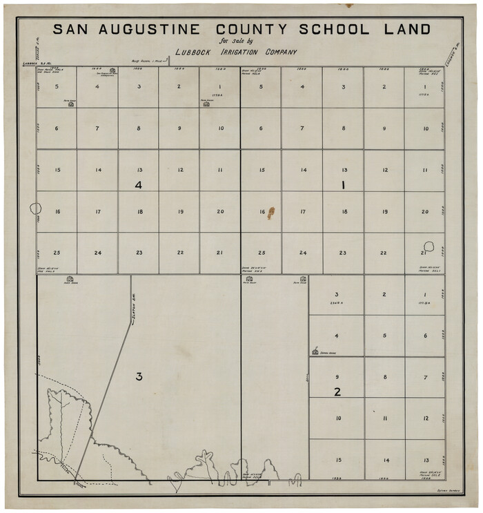
San Augustine County School Land for sale by Lubbock Irrigation Company

Print $20.00
- Digital $50.00
San Augustine County School Land for sale by Lubbock Irrigation Company
Size 24.0 x 25.2 inches
Map/Doc 92874
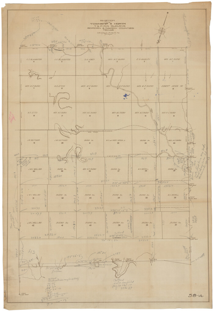
Sketch Showing Township 5 North, T. & P. RR. Surveys, Borden and Dawson Counties, Texas

Print $20.00
- Digital $50.00
Sketch Showing Township 5 North, T. & P. RR. Surveys, Borden and Dawson Counties, Texas
Size 24.7 x 36.0 inches
Map/Doc 90636
[I. M. Bolton, L. S. Thacker, and R. C. Poteet Subdivisions]
![92578, [I. M. Bolton, L. S. Thacker, and R. C. Poteet Subdivisions], Twichell Survey Records](https://historictexasmaps.com/wmedia_w700/maps/92578-1.tif.jpg)
![92578, [I. M. Bolton, L. S. Thacker, and R. C. Poteet Subdivisions], Twichell Survey Records](https://historictexasmaps.com/wmedia_w700/maps/92578-1.tif.jpg)
Print $20.00
- Digital $50.00
[I. M. Bolton, L. S. Thacker, and R. C. Poteet Subdivisions]
1924
Size 18.7 x 24.7 inches
Map/Doc 92578
[H. & T. C. Blocks 47 1/2 and 48, Capitol Lands]
![90639, [H. & T. C. Blocks 47 1/2 and 48, Capitol Lands], Twichell Survey Records](https://historictexasmaps.com/wmedia_w700/maps/90639-1.tif.jpg)
![90639, [H. & T. C. Blocks 47 1/2 and 48, Capitol Lands], Twichell Survey Records](https://historictexasmaps.com/wmedia_w700/maps/90639-1.tif.jpg)
Print $20.00
- Digital $50.00
[H. & T. C. Blocks 47 1/2 and 48, Capitol Lands]
Size 19.9 x 24.8 inches
Map/Doc 90639
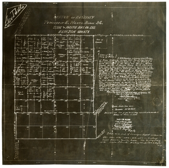
Sketch of Resurvey Township 5 North Block 36, Texas and Pacific Rwy. Co. Sys. Dawson County

Print $20.00
- Digital $50.00
Sketch of Resurvey Township 5 North Block 36, Texas and Pacific Rwy. Co. Sys. Dawson County
1926
Size 12.1 x 12.0 inches
Map/Doc 90544
[Blocks M-23, M-17, M-18, H, G, and vicinity]
![91140, [Blocks M-23, M-17, M-18, H, G, and vicinity], Twichell Survey Records](https://historictexasmaps.com/wmedia_w700/maps/91140-1.tif.jpg)
![91140, [Blocks M-23, M-17, M-18, H, G, and vicinity], Twichell Survey Records](https://historictexasmaps.com/wmedia_w700/maps/91140-1.tif.jpg)
Print $20.00
- Digital $50.00
[Blocks M-23, M-17, M-18, H, G, and vicinity]
1882
Size 12.6 x 12.2 inches
Map/Doc 91140
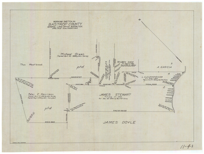
Working Sketch in Bastrop County

Print $20.00
- Digital $50.00
Working Sketch in Bastrop County
1923
Size 19.9 x 14.8 inches
Map/Doc 90238
You may also like
Wilbarger County Rolled Sketch 9
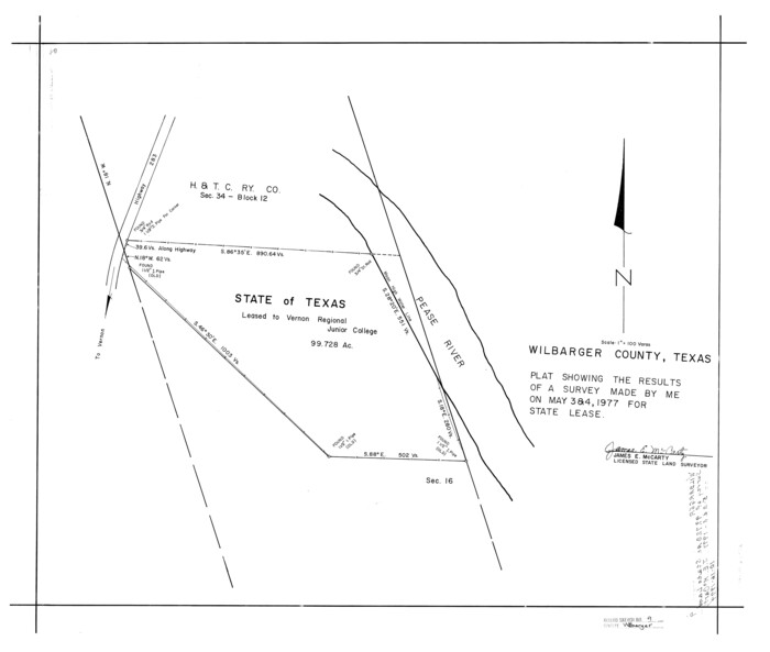

Print $20.00
- Digital $50.00
Wilbarger County Rolled Sketch 9
Size 23.8 x 28.1 inches
Map/Doc 8258
Schleicher County Working Sketch 12


Print $20.00
- Digital $50.00
Schleicher County Working Sketch 12
1925
Size 23.7 x 22.2 inches
Map/Doc 63814
Lake Buchanan, Burnet and Llano Counties, Texas
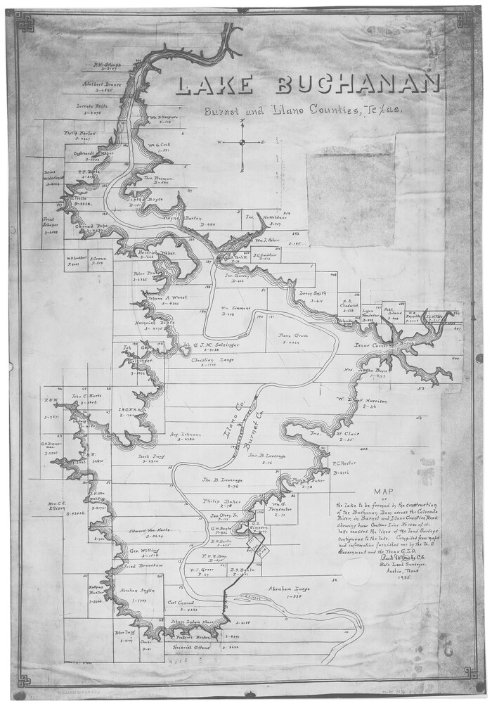

Print $20.00
- Digital $50.00
Lake Buchanan, Burnet and Llano Counties, Texas
1935
Size 20.7 x 14.4 inches
Map/Doc 3136
Haskell County Working Sketch 8


Print $20.00
- Digital $50.00
Haskell County Working Sketch 8
1957
Size 22.8 x 24.0 inches
Map/Doc 66066
Flight Mission No. BRA-7M, Frame 21, Jefferson County
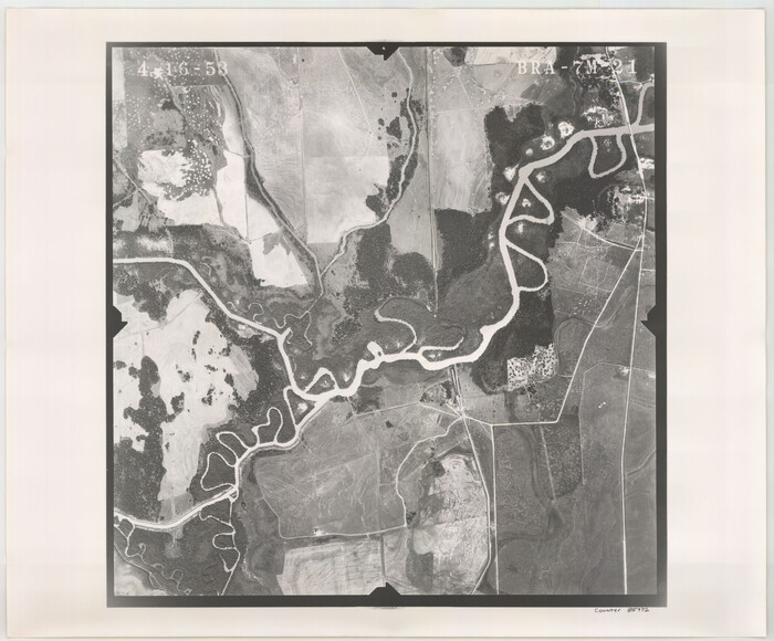

Print $20.00
- Digital $50.00
Flight Mission No. BRA-7M, Frame 21, Jefferson County
1953
Size 18.4 x 22.2 inches
Map/Doc 85472
Grimes County Sketch File 3
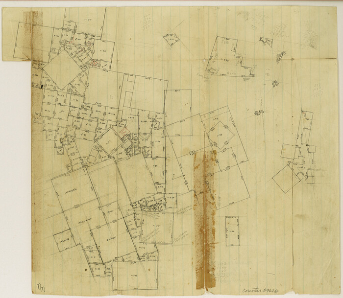

Print $20.00
- Digital $50.00
Grimes County Sketch File 3
1871
Size 10.6 x 12.1 inches
Map/Doc 24626
[Sketch Between Hemphill County and Oklahoma]
![89670, [Sketch Between Hemphill County and Oklahoma], Twichell Survey Records](https://historictexasmaps.com/wmedia_w700/maps/89670-1.tif.jpg)
![89670, [Sketch Between Hemphill County and Oklahoma], Twichell Survey Records](https://historictexasmaps.com/wmedia_w700/maps/89670-1.tif.jpg)
Print $40.00
- Digital $50.00
[Sketch Between Hemphill County and Oklahoma]
Size 60.4 x 7.8 inches
Map/Doc 89670
Panola County Working Sketch 33


Print $40.00
- Digital $50.00
Panola County Working Sketch 33
1983
Map/Doc 71442
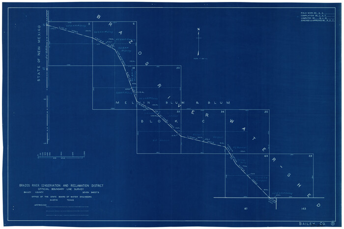
Brazos River Conservation and Reclamation District Official Boundary Line Survey

Print $20.00
- Digital $50.00
Brazos River Conservation and Reclamation District Official Boundary Line Survey
Size 37.3 x 24.7 inches
Map/Doc 90129
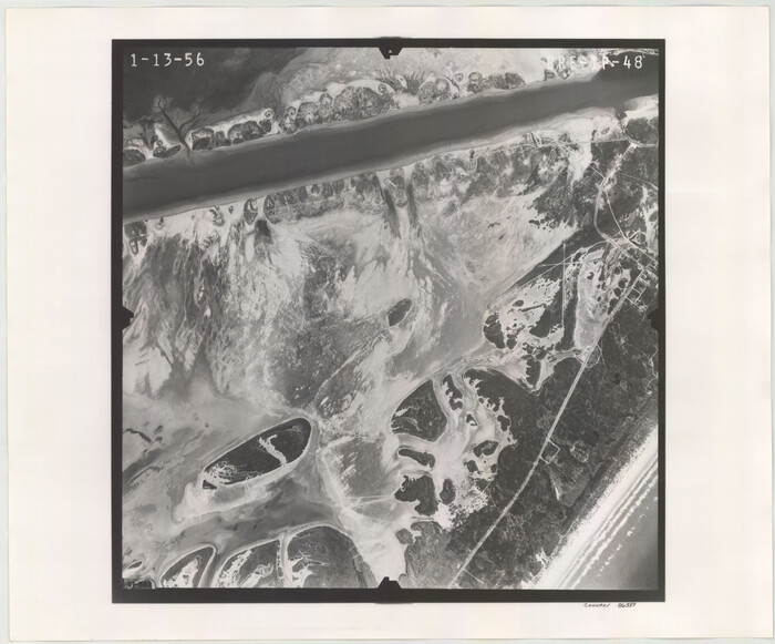
Flight Mission No. BRE-1P, Frame 48, Nueces County

Print $20.00
- Digital $50.00
Flight Mission No. BRE-1P, Frame 48, Nueces County
1956
Size 18.4 x 22.1 inches
Map/Doc 86637
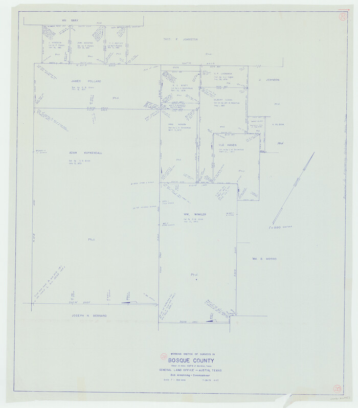
Bosque County Working Sketch 20

Print $20.00
- Digital $50.00
Bosque County Working Sketch 20
1976
Size 37.4 x 32.8 inches
Map/Doc 67453
[Sketch of surveys north of Jefferson County School Land]
![91890, [Sketch of surveys north of Jefferson County School Land], Twichell Survey Records](https://historictexasmaps.com/wmedia_w700/maps/91890-1.tif.jpg)
![91890, [Sketch of surveys north of Jefferson County School Land], Twichell Survey Records](https://historictexasmaps.com/wmedia_w700/maps/91890-1.tif.jpg)
Print $3.00
- Digital $50.00
[Sketch of surveys north of Jefferson County School Land]
1891
Size 10.3 x 11.2 inches
Map/Doc 91890
![92884, [Townships 1, 2, 3, Blocks, 62, 61, 60, 59, 58, 57, 56], Twichell Survey Records](https://historictexasmaps.com/wmedia_w1800h1800/maps/92884-1.tif.jpg)
