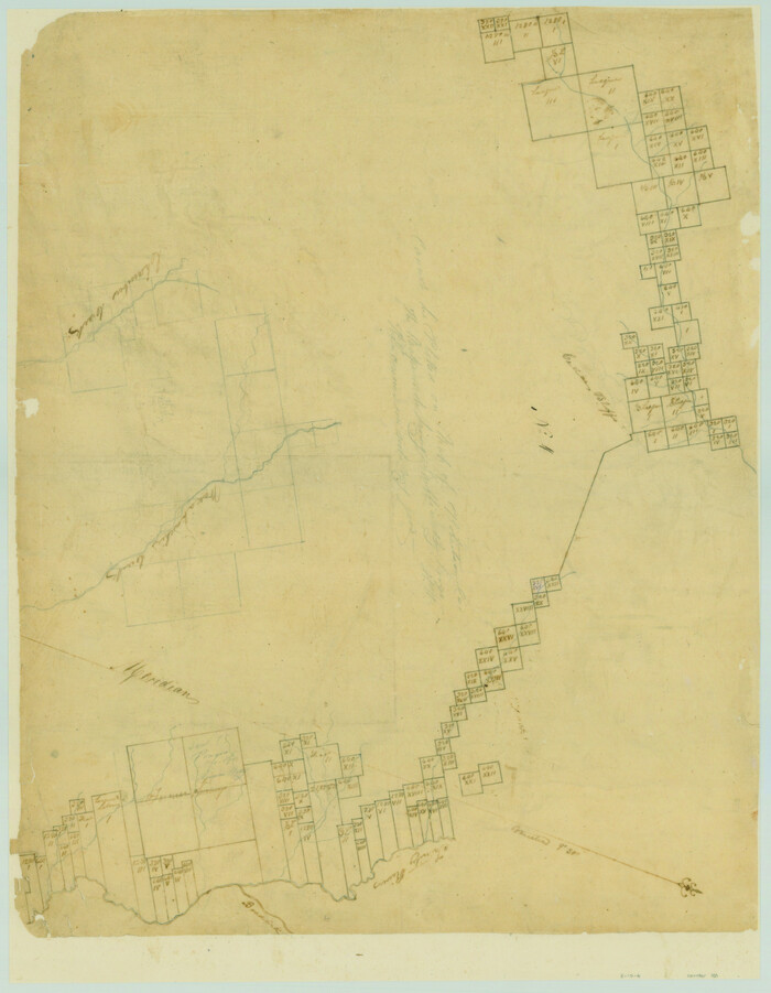
[Surveys along the Trinity River and below]
Print $20.00
- Digital $50.00
[Surveys along the Trinity River and below]
1840
Size: 22.6 x 17.6 inches
101
Dallas County Sketch File 19

Print $20.00
- Digital $50.00
Dallas County Sketch File 19
Size: 17.1 x 17.9 inches
11287
Ellis County Sketch File 3

Print $20.00
- Digital $50.00
Ellis County Sketch File 3
Size: 23.6 x 28.0 inches
11462
Map of a Part of Robertson Colony

Print $20.00
- Digital $50.00
Map of a Part of Robertson Colony
1843
Size: 32.2 x 22.6 inches
168
Map of Dallas, Tarrant and part of Ellis County and Peters Colony

Print $20.00
- Digital $50.00
Map of Dallas, Tarrant and part of Ellis County and Peters Colony
1853
Size: 25.8 x 32.0 inches
1970
Dallas County Sketch File 19 1/2

Print $4.00
- Digital $50.00
Dallas County Sketch File 19 1/2
Size: 9.9 x 8.2 inches
20439
Ellis County Sketch File 1

Print $6.00
- Digital $50.00
Ellis County Sketch File 1
1849
Size: 6.5 x 7.9 inches
21824
Ellis County Sketch File 2

Print $11.00
- Digital $50.00
Ellis County Sketch File 2
1858
Size: 8.4 x 9.7 inches
21827
Ellis County Sketch File 4

Print $4.00
- Digital $50.00
Ellis County Sketch File 4
1859
Size: 13.0 x 8.5 inches
21832
Ellis County Sketch File 5

Print $4.00
- Digital $50.00
Ellis County Sketch File 5
Size: 10.3 x 8.2 inches
21834
Ellis County Sketch File 6

Print $24.00
- Digital $50.00
Ellis County Sketch File 6
Size: 12.3 x 8.2 inches
21836
Ellis County Sketch File 7

Print $40.00
- Digital $50.00
Ellis County Sketch File 7
1859
Size: 12.2 x 15.6 inches
21839
Ellis County Sketch File 8

Print $40.00
- Digital $50.00
Ellis County Sketch File 8
1860
Size: 12.8 x 16.2 inches
21841
Ellis County Sketch File 9

Print $40.00
- Digital $50.00
Ellis County Sketch File 9
1860
Size: 16.0 x 13.0 inches
21843
Ellis County Sketch File 10

Print $40.00
- Digital $50.00
Ellis County Sketch File 10
1860
Size: 12.7 x 16.1 inches
21845
Ellis County Sketch File 11

Print $40.00
- Digital $50.00
Ellis County Sketch File 11
1860
Size: 12.6 x 16.2 inches
21847
Ellis County Sketch File 12

Print $60.00
- Digital $50.00
Ellis County Sketch File 12
1860
Size: 12.9 x 16.1 inches
21849
Ellis County Sketch File 13

Print $40.00
- Digital $50.00
Ellis County Sketch File 13
1860
Size: 12.6 x 16.0 inches
21852
Ellis County Sketch File 14

Print $40.00
- Digital $50.00
Ellis County Sketch File 14
1861
Size: 12.9 x 16.1 inches
21854
Ellis County Sketch File 15

Print $40.00
- Digital $50.00
Ellis County Sketch File 15
1861
Size: 15.7 x 12.5 inches
21856
Ellis County Sketch File 16

Print $4.00
- Digital $50.00
Ellis County Sketch File 16
Size: 13.1 x 8.3 inches
21858
Ellis County Sketch File 17

Print $40.00
- Digital $50.00
Ellis County Sketch File 17
1861
Size: 12.9 x 16.1 inches
21860
Ellis County Sketch File 18

Print $40.00
- Digital $50.00
Ellis County Sketch File 18
Size: 16.0 x 12.8 inches
21862
Ellis County Sketch File 18a

Print $40.00
- Digital $50.00
Ellis County Sketch File 18a
Size: 12.8 x 16.0 inches
21864
Ellis County Sketch File 19

Print $6.00
- Digital $50.00
Ellis County Sketch File 19
1863
Size: 12.4 x 7.8 inches
21866
Ellis County Sketch File 20

Print $19.00
- Digital $50.00
Ellis County Sketch File 20
1869
Size: 12.8 x 8.2 inches
21869
Ellis County Sketch File 21

Print $24.00
- Digital $50.00
Ellis County Sketch File 21
1879
Size: 7.6 x 12.4 inches
21878
Ellis County Sketch File 23

Print $4.00
- Digital $50.00
Ellis County Sketch File 23
1873
Size: 10.3 x 8.3 inches
21881
Hill County Sketch File 18

Print $26.00
- Digital $50.00
Hill County Sketch File 18
1852
Size: 8.6 x 4.9 inches
26486
[Surveys along the Trinity River and below]
Print $20.00
- Digital $50.00
[Surveys along the Trinity River and below]
1840
-
Size
22.6 x 17.6 inches
-
Map/Doc
101
-
Creation Date
1840
Dallas County Sketch File 19
Print $20.00
- Digital $50.00
Dallas County Sketch File 19
-
Size
17.1 x 17.9 inches
-
Map/Doc
11287
Ellis County Sketch File 3
Print $20.00
- Digital $50.00
Ellis County Sketch File 3
-
Size
23.6 x 28.0 inches
-
Map/Doc
11462
Map of a Part of Robertson Colony
Print $20.00
- Digital $50.00
Map of a Part of Robertson Colony
1843
-
Size
32.2 x 22.6 inches
-
Map/Doc
168
-
Creation Date
1843
Ellis County

Print $20.00
- Digital $50.00
Ellis County
1943
-
Size
42.2 x 46.2 inches
-
Map/Doc
1822
-
Creation Date
1943
Map of Dallas, Tarrant and part of Ellis County and Peters Colony
Print $20.00
- Digital $50.00
Map of Dallas, Tarrant and part of Ellis County and Peters Colony
1853
-
Size
25.8 x 32.0 inches
-
Map/Doc
1970
-
Creation Date
1853
Dallas County Sketch File 19 1/2
Print $4.00
- Digital $50.00
Dallas County Sketch File 19 1/2
-
Size
9.9 x 8.2 inches
-
Map/Doc
20439
Ellis County Sketch File 1
Print $6.00
- Digital $50.00
Ellis County Sketch File 1
1849
-
Size
6.5 x 7.9 inches
-
Map/Doc
21824
-
Creation Date
1849
Ellis County Sketch File 2
Print $11.00
- Digital $50.00
Ellis County Sketch File 2
1858
-
Size
8.4 x 9.7 inches
-
Map/Doc
21827
-
Creation Date
1858
Ellis County Sketch File 4
Print $4.00
- Digital $50.00
Ellis County Sketch File 4
1859
-
Size
13.0 x 8.5 inches
-
Map/Doc
21832
-
Creation Date
1859
Ellis County Sketch File 5
Print $4.00
- Digital $50.00
Ellis County Sketch File 5
-
Size
10.3 x 8.2 inches
-
Map/Doc
21834
Ellis County Sketch File 6
Print $24.00
- Digital $50.00
Ellis County Sketch File 6
-
Size
12.3 x 8.2 inches
-
Map/Doc
21836
Ellis County Sketch File 7
Print $40.00
- Digital $50.00
Ellis County Sketch File 7
1859
-
Size
12.2 x 15.6 inches
-
Map/Doc
21839
-
Creation Date
1859
Ellis County Sketch File 8
Print $40.00
- Digital $50.00
Ellis County Sketch File 8
1860
-
Size
12.8 x 16.2 inches
-
Map/Doc
21841
-
Creation Date
1860
Ellis County Sketch File 9
Print $40.00
- Digital $50.00
Ellis County Sketch File 9
1860
-
Size
16.0 x 13.0 inches
-
Map/Doc
21843
-
Creation Date
1860
Ellis County Sketch File 10
Print $40.00
- Digital $50.00
Ellis County Sketch File 10
1860
-
Size
12.7 x 16.1 inches
-
Map/Doc
21845
-
Creation Date
1860
Ellis County Sketch File 11
Print $40.00
- Digital $50.00
Ellis County Sketch File 11
1860
-
Size
12.6 x 16.2 inches
-
Map/Doc
21847
-
Creation Date
1860
Ellis County Sketch File 12
Print $60.00
- Digital $50.00
Ellis County Sketch File 12
1860
-
Size
12.9 x 16.1 inches
-
Map/Doc
21849
-
Creation Date
1860
Ellis County Sketch File 13
Print $40.00
- Digital $50.00
Ellis County Sketch File 13
1860
-
Size
12.6 x 16.0 inches
-
Map/Doc
21852
-
Creation Date
1860
Ellis County Sketch File 14
Print $40.00
- Digital $50.00
Ellis County Sketch File 14
1861
-
Size
12.9 x 16.1 inches
-
Map/Doc
21854
-
Creation Date
1861
Ellis County Sketch File 15
Print $40.00
- Digital $50.00
Ellis County Sketch File 15
1861
-
Size
15.7 x 12.5 inches
-
Map/Doc
21856
-
Creation Date
1861
Ellis County Sketch File 16
Print $4.00
- Digital $50.00
Ellis County Sketch File 16
-
Size
13.1 x 8.3 inches
-
Map/Doc
21858
Ellis County Sketch File 17
Print $40.00
- Digital $50.00
Ellis County Sketch File 17
1861
-
Size
12.9 x 16.1 inches
-
Map/Doc
21860
-
Creation Date
1861
Ellis County Sketch File 18
Print $40.00
- Digital $50.00
Ellis County Sketch File 18
-
Size
16.0 x 12.8 inches
-
Map/Doc
21862
Ellis County Sketch File 18a
Print $40.00
- Digital $50.00
Ellis County Sketch File 18a
-
Size
12.8 x 16.0 inches
-
Map/Doc
21864
Ellis County Sketch File 19
Print $6.00
- Digital $50.00
Ellis County Sketch File 19
1863
-
Size
12.4 x 7.8 inches
-
Map/Doc
21866
-
Creation Date
1863
Ellis County Sketch File 20
Print $19.00
- Digital $50.00
Ellis County Sketch File 20
1869
-
Size
12.8 x 8.2 inches
-
Map/Doc
21869
-
Creation Date
1869
Ellis County Sketch File 21
Print $24.00
- Digital $50.00
Ellis County Sketch File 21
1879
-
Size
7.6 x 12.4 inches
-
Map/Doc
21878
-
Creation Date
1879
Ellis County Sketch File 23
Print $4.00
- Digital $50.00
Ellis County Sketch File 23
1873
-
Size
10.3 x 8.3 inches
-
Map/Doc
21881
-
Creation Date
1873
Hill County Sketch File 18
Print $26.00
- Digital $50.00
Hill County Sketch File 18
1852
-
Size
8.6 x 4.9 inches
-
Map/Doc
26486
-
Creation Date
1852