"G" Sketch from Gaines County

Print $20.00
- Digital $50.00
"G" Sketch from Gaines County
1902
Size: 31.7 x 21.7 inches
90839
"G" Sketch from Gaines County

Print $20.00
- Digital $50.00
"G" Sketch from Gaines County
1902
Size: 31.6 x 21.8 inches
90845
"K" Sketch from Loving & Winkler Counties

Print $40.00
- Digital $50.00
"K" Sketch from Loving & Winkler Counties
1902
Size: 49.4 x 39.7 inches
89938
"L" Sketch from Ward and Crane Cos.

Print $20.00
- Digital $50.00
"L" Sketch from Ward and Crane Cos.
Size: 28.7 x 20.8 inches
91961
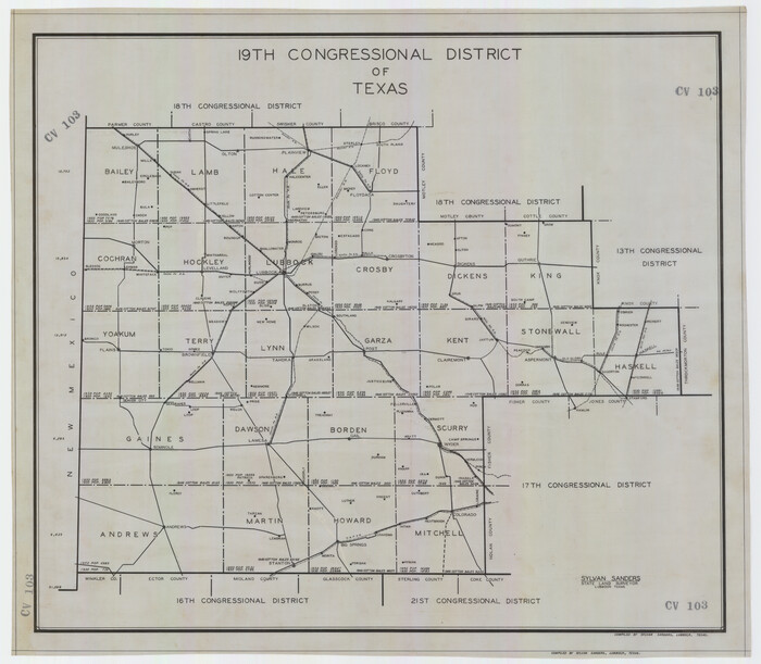
19th Congressional District of Texas
Print $20.00
- Digital $50.00
19th Congressional District of Texas
Size: 33.1 x 28.9 inches
92610
40 Acre Lease Units Anton Townsite Hockley County, Texas

Print $20.00
- Digital $50.00
40 Acre Lease Units Anton Townsite Hockley County, Texas
Size: 17.1 x 18.5 inches
92248
A Map of California with Descriptive Notes

A Map of California with Descriptive Notes
1954
Size: 29.5 x 37.6 inches
92394
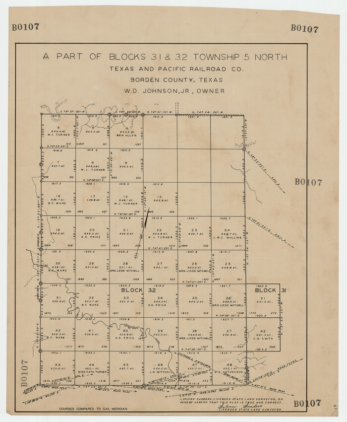
A Part of Blocks 31 and 32 Township 5 North
Print $20.00
- Digital $50.00
A Part of Blocks 31 and 32 Township 5 North
Size: 19.6 x 23.8 inches
92458
A Portion of Yoakum County, Texas and Gaines County, Texas in the vicinity of the Wasson Oil Field

Print $20.00
- Digital $50.00
A Portion of Yoakum County, Texas and Gaines County, Texas in the vicinity of the Wasson Oil Field
Size: 43.4 x 32.0 inches
90808
A true copy of Peck's field book No. 7 pages 50 to 55, except classfication of lands

Print $40.00
- Digital $50.00
A true copy of Peck's field book No. 7 pages 50 to 55, except classfication of lands
Size: 6.1 x 54.3 inches
89666
A true copy of Peck's field book page 1, except classification of lands

Print $2.00
- Digital $50.00
A true copy of Peck's field book page 1, except classification of lands
1876
Size: 5.3 x 12.0 inches
91979
A true copy of Peck's field book pages 56 to 63 except classification of lands

Print $40.00
- Digital $50.00
A true copy of Peck's field book pages 56 to 63 except classification of lands
Size: 6.3 x 69.2 inches
89716

A.W. Hudson Crosby County RR Line

Print $40.00
- Digital $50.00
A.W. Hudson Crosby County RR Line
Size: 67.8 x 42.9 inches
89760
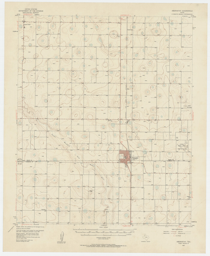
Abernathy Quadrangle
Print $20.00
- Digital $50.00
Abernathy Quadrangle
Size: 17.6 x 21.4 inches
92813
Ada, Gaines County, Texas

Print $20.00
- Digital $50.00
Ada, Gaines County, Texas
Size: 24.1 x 25.8 inches
92689
Adrian Heights Addition to Adrian, Located in Section 16, Block K11, Oldham County, Texas

Print $20.00
- Digital $50.00
Adrian Heights Addition to Adrian, Located in Section 16, Block K11, Oldham County, Texas
Size: 23.8 x 11.6 inches
91437
Adrian Heights Adition (sic) to Adrian Located in Section 16, Block K11

Print $2.00
- Digital $50.00
Adrian Heights Adition (sic) to Adrian Located in Section 16, Block K11
Size: 15.6 x 7.7 inches
92096
Adrian Heights Adition (sic) to Adrian Located in Section 16, Block K11

Print $2.00
- Digital $50.00
Adrian Heights Adition (sic) to Adrian Located in Section 16, Block K11
Size: 15.6 x 7.6 inches
92097


"G" Sketch from Gaines County
Print $20.00
- Digital $50.00
"G" Sketch from Gaines County
1902
-
Size
31.7 x 21.7 inches
-
Map/Doc
90839
-
Creation Date
1902
"G" Sketch from Gaines County
Print $20.00
- Digital $50.00
"G" Sketch from Gaines County
1902
-
Size
31.6 x 21.8 inches
-
Map/Doc
90845
-
Creation Date
1902
"K" Sketch from Loving & Winkler Counties
Print $40.00
- Digital $50.00
"K" Sketch from Loving & Winkler Counties
1902
-
Size
49.4 x 39.7 inches
-
Map/Doc
89938
-
Creation Date
1902
"L" Sketch from Ward and Crane Cos.
Print $20.00
- Digital $50.00
"L" Sketch from Ward and Crane Cos.
-
Size
28.7 x 20.8 inches
-
Map/Doc
91961
'O Bar O' Ranch

Print $20.00
- Digital $50.00
'O Bar O' Ranch
1946
-
Size
21.1 x 36.2 inches
-
Map/Doc
92162
-
Creation Date
1946
'O Bar O' Ranch

Print $40.00
- Digital $50.00
'O Bar O' Ranch
1946
-
Size
47.8 x 82.6 inches
-
Map/Doc
93202
-
Creation Date
1946
'O Bar O' Ranch

Print $40.00
- Digital $50.00
'O Bar O' Ranch
1946
-
Size
46.2 x 80.7 inches
-
Map/Doc
93209
-
Creation Date
1946
19th Congressional District of Texas
Print $20.00
- Digital $50.00
19th Congressional District of Texas
-
Size
33.1 x 28.9 inches
-
Map/Doc
92610
40 Acre Lease Units Anton Townsite Hockley County, Texas
Print $20.00
- Digital $50.00
40 Acre Lease Units Anton Townsite Hockley County, Texas
-
Size
17.1 x 18.5 inches
-
Map/Doc
92248
A Map of California with Descriptive Notes
A Map of California with Descriptive Notes
1954
-
Size
29.5 x 37.6 inches
-
Map/Doc
92394
-
Creation Date
1954
A Map of the Heavens

A Map of the Heavens
1957
-
Size
43.0 x 28.8 inches
-
Map/Doc
92360
-
Creation Date
1957
A Map of the Heavens

A Map of the Heavens
1957
-
Size
42.8 x 28.9 inches
-
Map/Doc
92361
-
Creation Date
1957
A Part of Blocks 31 and 32 Township 5 North
Print $20.00
- Digital $50.00
A Part of Blocks 31 and 32 Township 5 North
-
Size
19.6 x 23.8 inches
-
Map/Doc
92458
A Portion of Yoakum County, Texas and Gaines County, Texas in the vicinity of the Wasson Oil Field
Print $20.00
- Digital $50.00
A Portion of Yoakum County, Texas and Gaines County, Texas in the vicinity of the Wasson Oil Field
-
Size
43.4 x 32.0 inches
-
Map/Doc
90808
A true copy of Peck's field book No. 7 pages 50 to 55, except classfication of lands
Print $40.00
- Digital $50.00
A true copy of Peck's field book No. 7 pages 50 to 55, except classfication of lands
-
Size
6.1 x 54.3 inches
-
Map/Doc
89666
A true copy of Peck's field book page 1, except classification of lands
Print $2.00
- Digital $50.00
A true copy of Peck's field book page 1, except classification of lands
1876
-
Size
5.3 x 12.0 inches
-
Map/Doc
91979
-
Creation Date
1876
A true copy of Peck's field book pages 56 to 63 except classification of lands
Print $40.00
- Digital $50.00
A true copy of Peck's field book pages 56 to 63 except classification of lands
-
Size
6.3 x 69.2 inches
-
Map/Doc
89716
A. H. Baer Estate
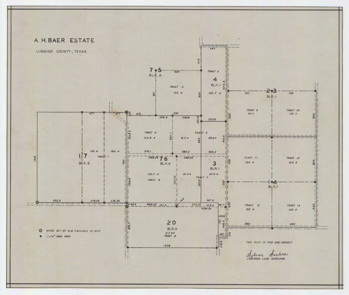
Print $20.00
- Digital $50.00
A. H. Baer Estate
-
Size
18.4 x 15.6 inches
-
Map/Doc
92748
A.W. Hudson Crosby County RR Line
Print $40.00
- Digital $50.00
A.W. Hudson Crosby County RR Line
-
Size
67.8 x 42.9 inches
-
Map/Doc
89760
Abernathy Quadrangle
Print $20.00
- Digital $50.00
Abernathy Quadrangle
-
Size
17.6 x 21.4 inches
-
Map/Doc
92813
Ada, Gaines County, Texas
Print $20.00
- Digital $50.00
Ada, Gaines County, Texas
-
Size
24.1 x 25.8 inches
-
Map/Doc
92689
Adamson Farm

Print $3.00
- Digital $50.00
Adamson Farm
1937
-
Size
9.5 x 11.6 inches
-
Map/Doc
92343
-
Creation Date
1937
Adrian Heights Addition to Adrian, Located in Section 16, Block K11, Oldham County, Texas
Print $20.00
- Digital $50.00
Adrian Heights Addition to Adrian, Located in Section 16, Block K11, Oldham County, Texas
-
Size
23.8 x 11.6 inches
-
Map/Doc
91437
Adrian Heights Adition (sic) to Adrian Located in Section 16, Block K11
Print $2.00
- Digital $50.00
Adrian Heights Adition (sic) to Adrian Located in Section 16, Block K11
-
Size
15.6 x 7.7 inches
-
Map/Doc
92096
Adrian Heights Adition (sic) to Adrian Located in Section 16, Block K11
Print $2.00
- Digital $50.00
Adrian Heights Adition (sic) to Adrian Located in Section 16, Block K11
-
Size
15.6 x 7.6 inches
-
Map/Doc
92097
Aerial Photos

Print $20.00
- Digital $50.00
Aerial Photos
1937
-
Size
15.9 x 12.4 inches
-
Map/Doc
92106
-
Creation Date
1937