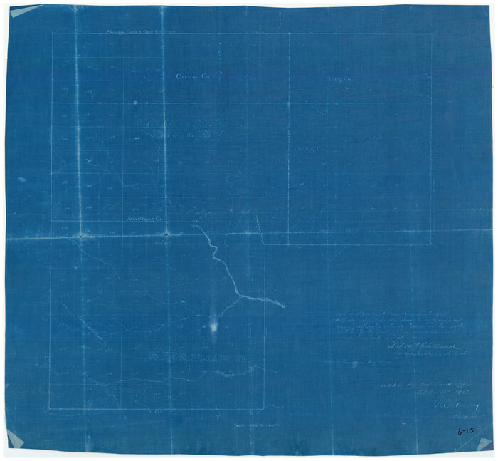
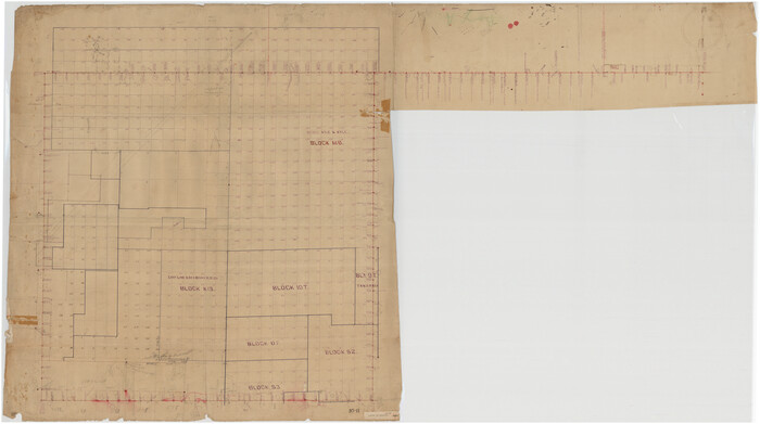
[Mrs. Adair Resurvey]
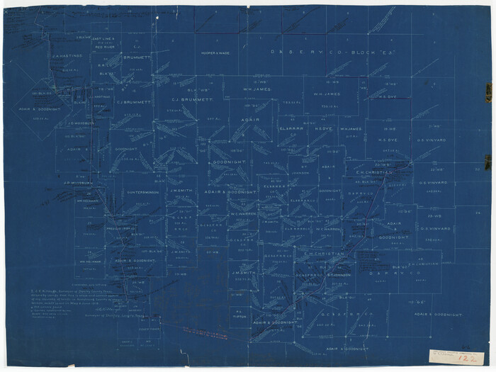
Print $20.00
- Digital $50.00
[Mrs. Adair Resurvey]
1918
Size: 36.5 x 27.4 inches
89976
[I. & G. N. RR. Co. Blk. 6, Blks M8, M9 and M10]
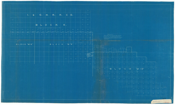
Print $20.00
- Digital $50.00
[I. & G. N. RR. Co. Blk. 6, Blks M8, M9 and M10]
Size: 34.2 x 20.3 inches
90267
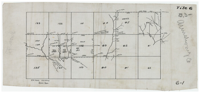
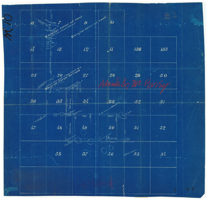
[H.& G.N. Block B3 in NE corner of County]
Print $3.00
- Digital $50.00
[H.& G.N. Block B3 in NE corner of County]
Size: 13.8 x 9.7 inches
90272
[H. & G. N. Block B4]
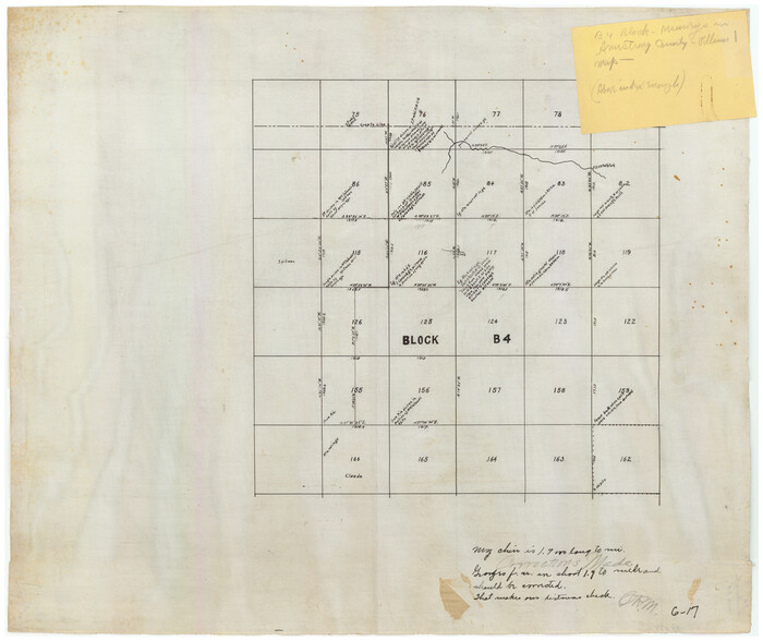
Print $20.00
- Digital $50.00
[H. & G. N. Block B4]
Size: 21.4 x 18.2 inches
90275
[H. & G. N. Block B3]
Print $20.00
- Digital $50.00
[H. & G. N. Block B3]
1887
Size: 20.3 x 18.8 inches
90273
[H. & G. N. Block 4]
Print $20.00
- Digital $50.00
[H. & G. N. Block 4]
1887
Size: 22.2 x 19.6 inches
90268
[H. & G. N. Block B3]
Print $3.00
- Digital $50.00
[H. & G. N. Block B3]
Size: 17.4 x 8.1 inches
89982
[D. & P. Blk. G6 in SE Armstrong and SW Donley Counties]
Print $3.00
- Digital $50.00
[D. & P. Blk. G6 in SE Armstrong and SW Donley Counties]
Size: 11.7 x 9.4 inches
90269
[Boundary Survey of County]
Print $40.00
- Digital $50.00
[Boundary Survey of County]
Size: 64.9 x 37.0 inches
89735
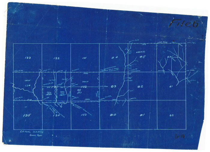
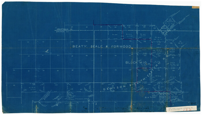
[B. S. & F. Blk. M10, D. & S. E. RR. Co. Secs. 138 thru 149]
Print $20.00
- Digital $50.00
[B. S. & F. Blk. M10, D. & S. E. RR. Co. Secs. 138 thru 149]
Size: 26.4 x 15.5 inches
90133
Working Sketch in Armstrong County

Print $20.00
- Digital $50.00
Working Sketch in Armstrong County
1918
Size: 31.5 x 24.3 inches
90265
Working Sketch Armstrong County

Print $20.00
- Digital $50.00
Working Sketch Armstrong County
1909
Size: 32.0 x 23.8 inches
90264
Working Sketch Armstrong County

Print $20.00
- Digital $50.00
Working Sketch Armstrong County
Size: 29.3 x 21.2 inches
90274
Washburn situated in Armstrong County, Texas on surveys 62, 63, 98 & 99, Block B4

Print $20.00
- Digital $50.00
Washburn situated in Armstrong County, Texas on surveys 62, 63, 98 & 99, Block B4
Size: 44.2 x 31.4 inches
90261
Sketch Showing Correction of Field Notes and Surveys

Print $3.00
- Digital $50.00
Sketch Showing Correction of Field Notes and Surveys
1886
Size: 13.0 x 10.8 inches
90270
School District No. 5, Armstrong County, Texas

Print $20.00
- Digital $50.00
School District No. 5, Armstrong County, Texas
1908
Size: 15.5 x 20.2 inches
90271
SW/4 of County, B.S.& F. Bk. M-10, J.W.Woodburn Bk.B-1 & G.C.&S.F. Bk.BIGN

Print $20.00
- Digital $50.00
SW/4 of County, B.S.& F. Bk. M-10, J.W.Woodburn Bk.B-1 & G.C.&S.F. Bk.BIGN
Size: 34.6 x 27.0 inches
90266
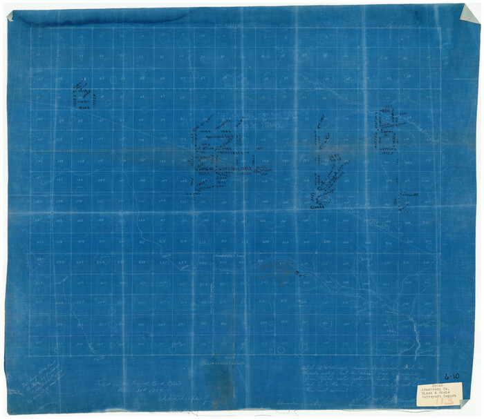
Randall County Rolled Sketch 6

Print $20.00
- Digital $50.00
Randall County Rolled Sketch 6
Size: 25.0 x 23.9 inches
7426
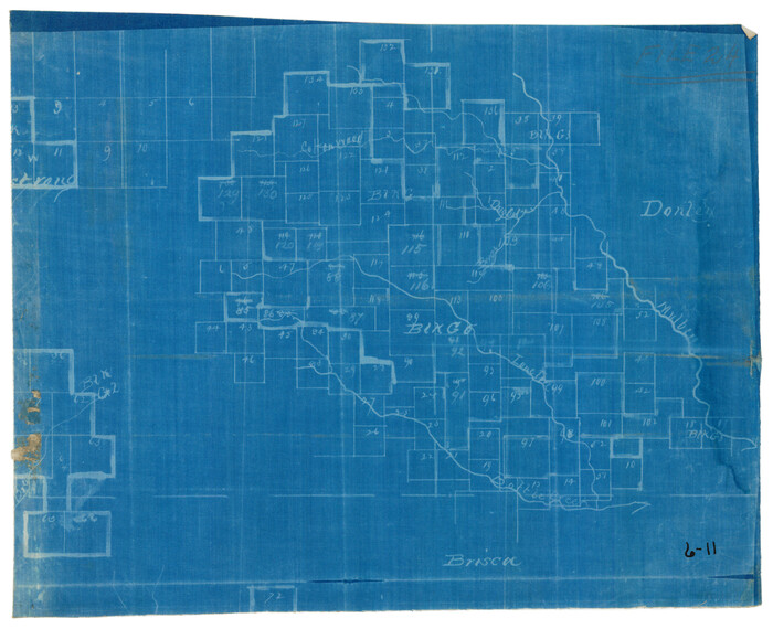
Potter County Sketch File 6

Print $20.00
- Digital $50.00
Potter County Sketch File 6
1900
Size: 34.4 x 29.0 inches
10575
Palo Duro Canyon Park

Print $20.00
- Digital $50.00
Palo Duro Canyon Park
1950
Size: 25.2 x 37.9 inches
73567
Map of the Panhandle Railway

Print $40.00
- Digital $50.00
Map of the Panhandle Railway
1888
Size: 22.6 x 114.7 inches
64461
Map of the Fort Worth & Denver City Railway

Print $40.00
- Digital $50.00
Map of the Fort Worth & Denver City Railway
1887
Size: 22.8 x 124.4 inches
64458
Map of the Fort Worth & Denver City Railway

Print $40.00
- Digital $50.00
Map of the Fort Worth & Denver City Railway
1887
Size: 22.2 x 79.5 inches
64459
Map of the Fort Worth & Denver City Railway

Print $40.00
- Digital $50.00
Map of the Fort Worth & Denver City Railway
1887
Size: 19.9 x 57.9 inches
64477
Map of the Amarillo Country Showing the Agricultural Land Tributary to Amarillo, Texas

Print $40.00
- Digital $50.00
Map of the Amarillo Country Showing the Agricultural Land Tributary to Amarillo, Texas
1889
Size: 55.7 x 38.7 inches
89806
Map of Washburn, Armstrong County, Texas junction of Pan-Handle (Southern Kansas) and Fort Worth & Denver City R'ys

Print $20.00
- Digital $50.00
Map of Washburn, Armstrong County, Texas junction of Pan-Handle (Southern Kansas) and Fort Worth & Denver City R'ys
1888
97426
Map of Claude - Claude, Armstrong Co.

Print $20.00
- Digital $50.00
Map of Claude - Claude, Armstrong Co.
Size: 46.9 x 38.5 inches
89743
Map of Armstrong County

Print $20.00
- Digital $50.00
Map of Armstrong County
1881
Size: 25.8 x 19.9 inches
3243
Map of Armstrong County

Print $20.00
- Digital $50.00
Map of Armstrong County
1886
Size: 23.0 x 18.6 inches
3244
[Mrs. Adair Resurvey]
Print $20.00
- Digital $50.00
[Mrs. Adair Resurvey]
1918
-
Size
36.5 x 27.4 inches
-
Map/Doc
89976
-
Creation Date
1918
[I. & G. N. RR. Co. Blk. 6, Blks M8, M9 and M10]
Print $20.00
- Digital $50.00
[I. & G. N. RR. Co. Blk. 6, Blks M8, M9 and M10]
-
Size
34.2 x 20.3 inches
-
Map/Doc
90267
[H.& G.N. Block B3 in NE corner of County]
Print $3.00
- Digital $50.00
[H.& G.N. Block B3 in NE corner of County]
-
Size
13.8 x 9.7 inches
-
Map/Doc
90272
[H. & G. N. Block B4]
Print $20.00
- Digital $50.00
[H. & G. N. Block B4]
-
Size
21.4 x 18.2 inches
-
Map/Doc
90275
[H. & G. N. Block B3]
Print $20.00
- Digital $50.00
[H. & G. N. Block B3]
1887
-
Size
20.3 x 18.8 inches
-
Map/Doc
90273
-
Creation Date
1887
[H. & G. N. Block 4]
Print $20.00
- Digital $50.00
[H. & G. N. Block 4]
1887
-
Size
22.2 x 19.6 inches
-
Map/Doc
90268
-
Creation Date
1887
[H. & G. N. Block B3]
Print $3.00
- Digital $50.00
[H. & G. N. Block B3]
-
Size
17.4 x 8.1 inches
-
Map/Doc
89982
[D. & P. Blk. G6 in SE Armstrong and SW Donley Counties]
Print $3.00
- Digital $50.00
[D. & P. Blk. G6 in SE Armstrong and SW Donley Counties]
-
Size
11.7 x 9.4 inches
-
Map/Doc
90269
[Boundary Survey of County]
Print $40.00
- Digital $50.00
[Boundary Survey of County]
-
Size
64.9 x 37.0 inches
-
Map/Doc
89735
[B. S. & F. Blk. M10, D. & S. E. RR. Co. Secs. 138 thru 149]
Print $20.00
- Digital $50.00
[B. S. & F. Blk. M10, D. & S. E. RR. Co. Secs. 138 thru 149]
-
Size
26.4 x 15.5 inches
-
Map/Doc
90133
Working Sketch in Armstrong County
Print $20.00
- Digital $50.00
Working Sketch in Armstrong County
1918
-
Size
31.5 x 24.3 inches
-
Map/Doc
90265
-
Creation Date
1918
Working Sketch Armstrong County
Print $20.00
- Digital $50.00
Working Sketch Armstrong County
1909
-
Size
32.0 x 23.8 inches
-
Map/Doc
90264
-
Creation Date
1909
Working Sketch Armstrong County
Print $20.00
- Digital $50.00
Working Sketch Armstrong County
-
Size
29.3 x 21.2 inches
-
Map/Doc
90274
Washburn situated in Armstrong County, Texas on surveys 62, 63, 98 & 99, Block B4
Print $20.00
- Digital $50.00
Washburn situated in Armstrong County, Texas on surveys 62, 63, 98 & 99, Block B4
-
Size
44.2 x 31.4 inches
-
Map/Doc
90261
Sketch Showing Correction of Field Notes and Surveys
Print $3.00
- Digital $50.00
Sketch Showing Correction of Field Notes and Surveys
1886
-
Size
13.0 x 10.8 inches
-
Map/Doc
90270
-
Creation Date
1886
School District No. 5, Armstrong County, Texas
Print $20.00
- Digital $50.00
School District No. 5, Armstrong County, Texas
1908
-
Size
15.5 x 20.2 inches
-
Map/Doc
90271
-
Creation Date
1908
SW/4 of County, B.S.& F. Bk. M-10, J.W.Woodburn Bk.B-1 & G.C.&S.F. Bk.BIGN
Print $20.00
- Digital $50.00
SW/4 of County, B.S.& F. Bk. M-10, J.W.Woodburn Bk.B-1 & G.C.&S.F. Bk.BIGN
-
Size
34.6 x 27.0 inches
-
Map/Doc
90266
Randall County Rolled Sketch 6
Print $20.00
- Digital $50.00
Randall County Rolled Sketch 6
-
Size
25.0 x 23.9 inches
-
Map/Doc
7426
Potter County Sketch File 6
Print $20.00
- Digital $50.00
Potter County Sketch File 6
1900
-
Size
34.4 x 29.0 inches
-
Map/Doc
10575
-
Creation Date
1900
Palo Duro Canyon Park
Print $20.00
- Digital $50.00
Palo Duro Canyon Park
1950
-
Size
25.2 x 37.9 inches
-
Map/Doc
73567
-
Creation Date
1950
Map of the Panhandle Railway
Print $40.00
- Digital $50.00
Map of the Panhandle Railway
1888
-
Size
22.6 x 114.7 inches
-
Map/Doc
64461
-
Creation Date
1888
Map of the Fort Worth & Denver City Railway
Print $40.00
- Digital $50.00
Map of the Fort Worth & Denver City Railway
1887
-
Size
22.8 x 124.4 inches
-
Map/Doc
64458
-
Creation Date
1887
Map of the Fort Worth & Denver City Railway
Print $40.00
- Digital $50.00
Map of the Fort Worth & Denver City Railway
1887
-
Size
22.2 x 79.5 inches
-
Map/Doc
64459
-
Creation Date
1887
Map of the Fort Worth & Denver City Railway
Print $40.00
- Digital $50.00
Map of the Fort Worth & Denver City Railway
1887
-
Size
19.9 x 57.9 inches
-
Map/Doc
64477
-
Creation Date
1887
Map of the Amarillo Country Showing the Agricultural Land Tributary to Amarillo, Texas
Print $40.00
- Digital $50.00
Map of the Amarillo Country Showing the Agricultural Land Tributary to Amarillo, Texas
1889
-
Size
55.7 x 38.7 inches
-
Map/Doc
89806
-
Creation Date
1889
Map of Washburn, Armstrong County, Texas junction of Pan-Handle (Southern Kansas) and Fort Worth & Denver City R'ys
Print $20.00
- Digital $50.00
Map of Washburn, Armstrong County, Texas junction of Pan-Handle (Southern Kansas) and Fort Worth & Denver City R'ys
1888
-
Map/Doc
97426
-
Creation Date
1888
Map of Claude - Claude, Armstrong Co.
Print $20.00
- Digital $50.00
Map of Claude - Claude, Armstrong Co.
-
Size
46.9 x 38.5 inches
-
Map/Doc
89743
Map of Armstrong County
Print $20.00
- Digital $50.00
Map of Armstrong County
1881
-
Size
25.8 x 19.9 inches
-
Map/Doc
3243
-
Creation Date
1881
Map of Armstrong County
Print $20.00
- Digital $50.00
Map of Armstrong County
1886
-
Size
23.0 x 18.6 inches
-
Map/Doc
3244
-
Creation Date
1886