
Land grants from the state of Tamaulipas in the trans-Nueces
2009

Brooks County Sketch File 9
1988
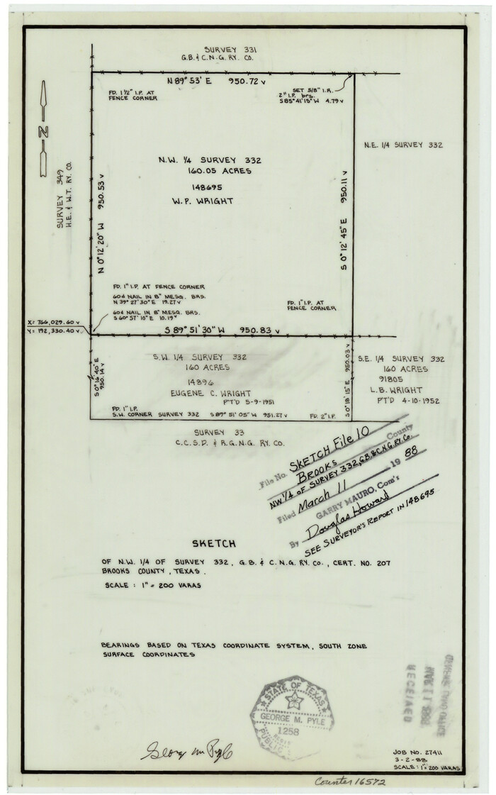
Brooks County Sketch File 10
1988

Brooks County Working Sketch 19
1983

Brooks County Working Sketch 18
1981

Jim Wells County Working Sketch 13
1980
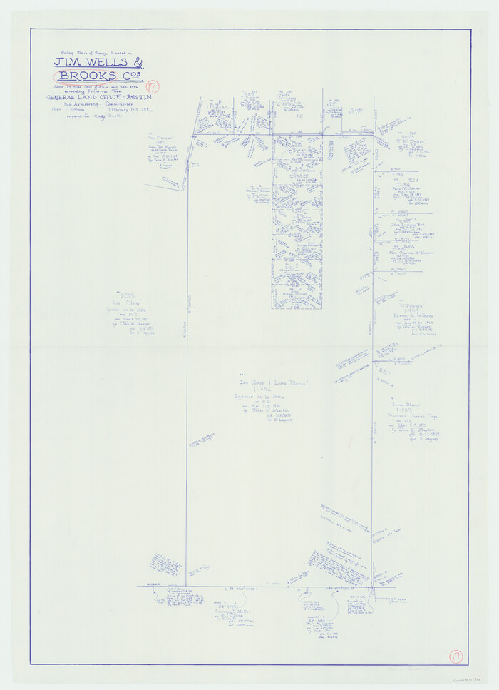
Brooks County Working Sketch 17
1980
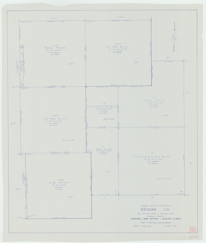
Brooks County Working Sketch 16
1972

Jim Hogg County Working Sketch 7
1964
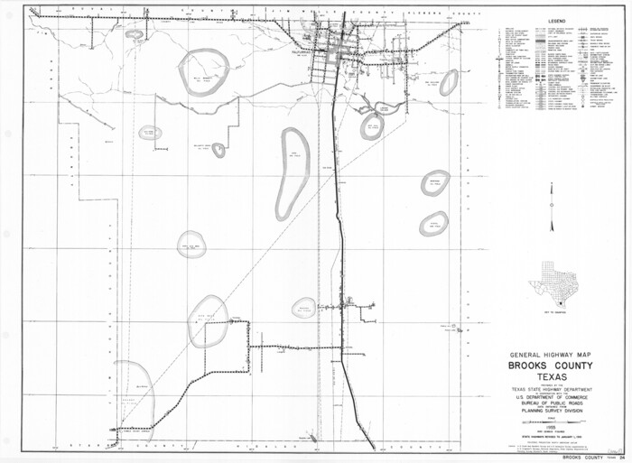
General Highway Map, Brooks County, Texas
1961
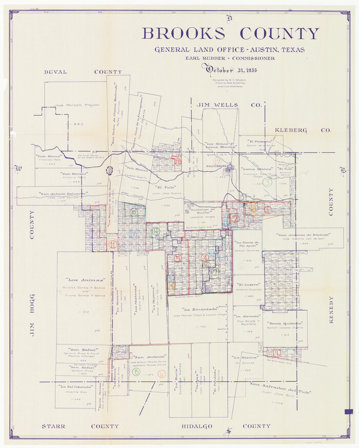
Brooks County Working Sketch Graphic Index
1955

Brooks County Rolled Sketch 29
1947
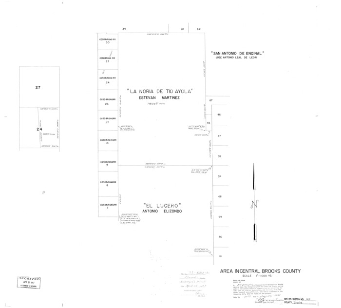
Brooks County Rolled Sketch 28
1947
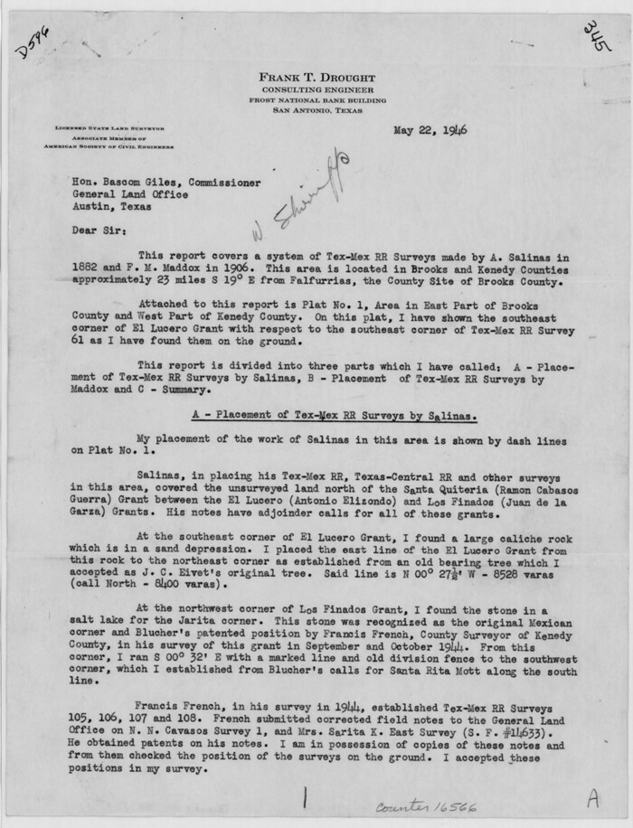
Brooks County Sketch File 7
1946

Brooks County Sketch File 8
1946

Kenedy County Rolled Sketch 13
1946

Brooks County Rolled Sketch 26
1945
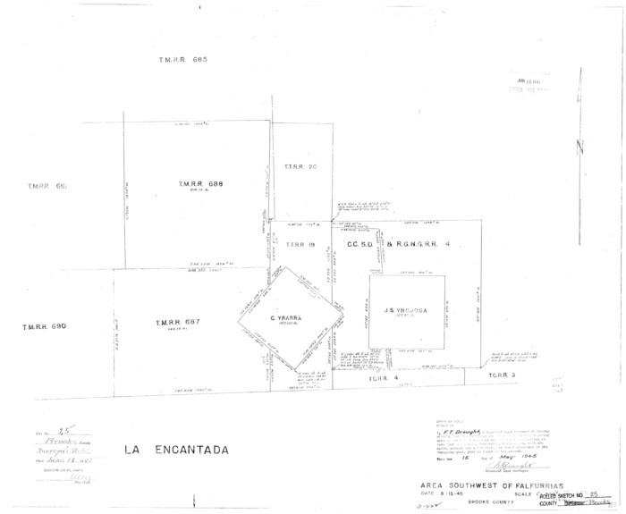
Brooks County Rolled Sketch 25
1945

Brooks County Rolled Sketch 24
1945
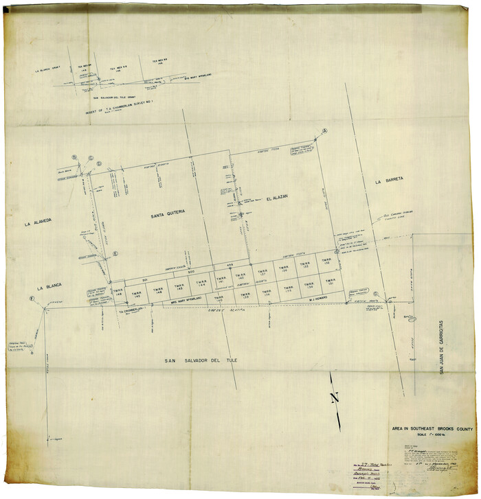
Brooks County Rolled Sketch 27
1945

Brooks County Working Sketch 14
1944
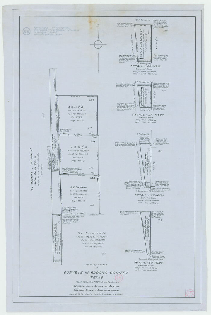
Brooks County Working Sketch 15
1944

Brooks County Rolled Sketch 20
1943
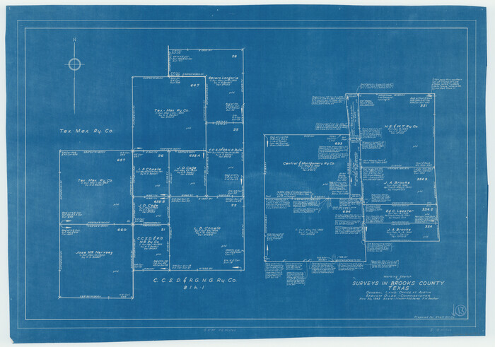
Brooks County Working Sketch 13
1943

Brooks County Rolled Sketch 22
1943
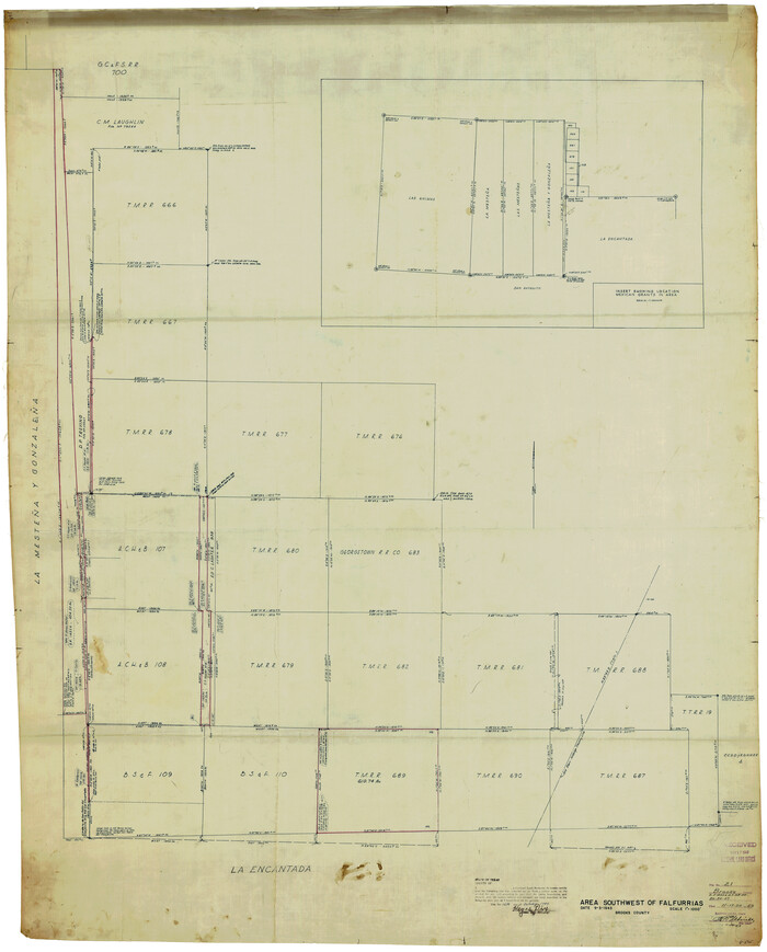
Brooks County Rolled Sketch 21
1943

Land grants from the state of Tamaulipas in the trans-Nueces
2009
-
Size
11.0 x 8.5 inches
-
Map/Doc
94040
-
Creation Date
2009

Brooks County Sketch File 9
1988
-
Size
14.4 x 8.8 inches
-
Map/Doc
16571
-
Creation Date
1988

Brooks County Sketch File 10
1988
-
Size
14.4 x 9.0 inches
-
Map/Doc
16572
-
Creation Date
1988

Brooks County Working Sketch 19
1983
-
Size
31.7 x 18.4 inches
-
Map/Doc
67803
-
Creation Date
1983

Brooks County Working Sketch 18
1981
-
Size
20.6 x 32.4 inches
-
Map/Doc
67802
-
Creation Date
1981

Jim Wells County Working Sketch 13
1980
-
Size
36.7 x 26.3 inches
-
Map/Doc
66611
-
Creation Date
1980

Brooks County Working Sketch 17
1980
-
Size
38.2 x 27.7 inches
-
Map/Doc
67801
-
Creation Date
1980

Brooks County Working Sketch 16
1972
-
Size
35.0 x 29.7 inches
-
Map/Doc
67800
-
Creation Date
1972

Jim Hogg County Working Sketch 7
1964
-
Size
20.0 x 18.6 inches
-
Map/Doc
66593
-
Creation Date
1964

General Highway Map, Brooks County, Texas
1961
-
Size
18.2 x 24.8 inches
-
Map/Doc
79388
-
Creation Date
1961

Brooks County
1955
-
Size
43.0 x 34.8 inches
-
Map/Doc
1788
-
Creation Date
1955
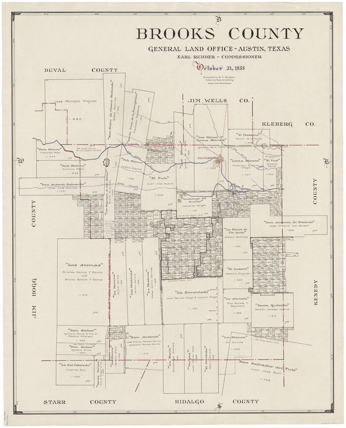
Brooks County
1955
-
Size
42.0 x 34.2 inches
-
Map/Doc
73091
-
Creation Date
1955

Brooks County Working Sketch Graphic Index
1955
-
Size
41.3 x 33.6 inches
-
Map/Doc
76479
-
Creation Date
1955
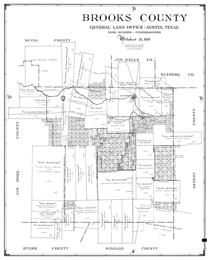
Brooks County
1955
-
Size
40.3 x 32.2 inches
-
Map/Doc
77223
-
Creation Date
1955
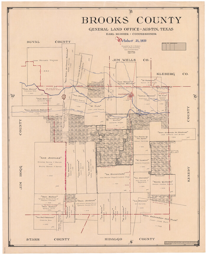
Brooks County
1955
-
Size
42.6 x 34.6 inches
-
Map/Doc
95440
-
Creation Date
1955

Brooks County Rolled Sketch 29
1947
-
Size
31.3 x 22.9 inches
-
Map/Doc
5347
-
Creation Date
1947

Brooks County Rolled Sketch 28
1947
-
Size
28.9 x 32.0 inches
-
Map/Doc
5346
-
Creation Date
1947

Brooks County Sketch File 7
1946
-
Size
11.3 x 8.6 inches
-
Map/Doc
16566
-
Creation Date
1946

Brooks County Sketch File 8
1946
-
Size
26.5 x 38.4 inches
-
Map/Doc
11018
-
Creation Date
1946

Kenedy County Rolled Sketch 13
1946
-
Size
38.2 x 45.5 inches
-
Map/Doc
9334
-
Creation Date
1946

Brooks County Rolled Sketch 26
1945
-
Size
33.7 x 43.3 inches
-
Map/Doc
8539
-
Creation Date
1945

Brooks County Rolled Sketch 25
1945
-
Size
21.6 x 26.4 inches
-
Map/Doc
5345
-
Creation Date
1945

Brooks County Rolled Sketch 24
1945
-
Size
42.8 x 23.7 inches
-
Map/Doc
5344
-
Creation Date
1945

Brooks County Rolled Sketch 27
1945
-
Size
44.5 x 42.9 inches
-
Map/Doc
8540
-
Creation Date
1945

Brooks County Working Sketch 14
1944
-
Size
29.2 x 20.0 inches
-
Map/Doc
67798
-
Creation Date
1944

Brooks County Working Sketch 15
1944
-
Size
30.5 x 20.5 inches
-
Map/Doc
67799
-
Creation Date
1944

Brooks County Rolled Sketch 20
1943
-
Size
27.0 x 26.4 inches
-
Map/Doc
5342
-
Creation Date
1943

Brooks County Working Sketch 13
1943
-
Size
22.4 x 31.9 inches
-
Map/Doc
67797
-
Creation Date
1943

Brooks County Rolled Sketch 22
1943
-
Size
15.1 x 32.2 inches
-
Map/Doc
5343
-
Creation Date
1943

Brooks County Rolled Sketch 21
1943
-
Size
51.5 x 41.3 inches
-
Map/Doc
8537
-
Creation Date
1943