
Brazos River, Brazos River Sheet 1
1926

Brazos River, Brazos River Sheet 1
1926

Brazos River, Brazos River Sheet 1
1926
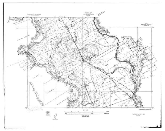
Brazos River, Brazos River Sheet 2
1926
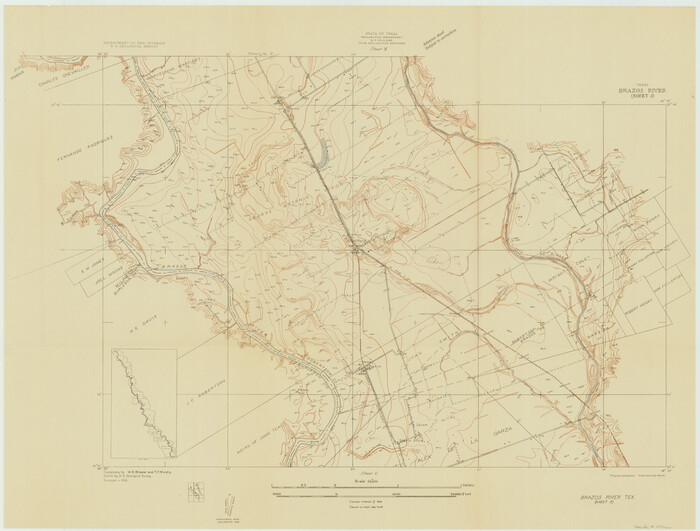
Brazos River, Brazos River Sheet 2
1926

Brazos River, Brazos River Sheet 2
1926

Brazos River, Jones Bridge Special Map Sheet
1936

Brazos River, Sandpit Extension Sheet
1926

Brazos River, Sandpit Special Sheet
1936
Burleson County Rolled Sketch 1
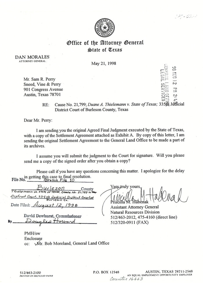
Burleson County Sketch File 10
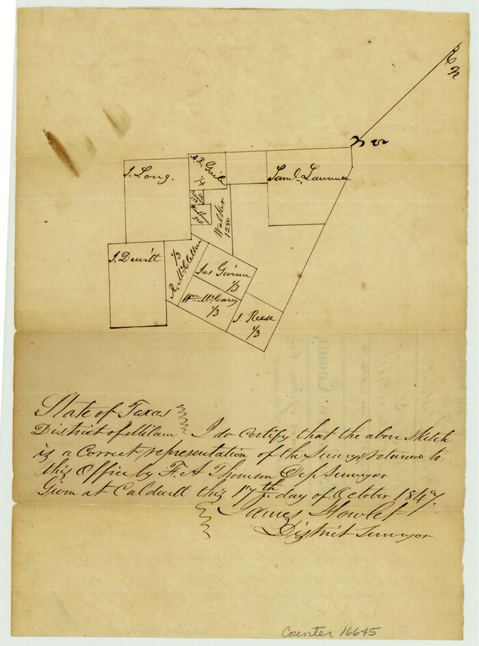
Burleson County Sketch File 2
1847

Burleson County Sketch File 3
1848
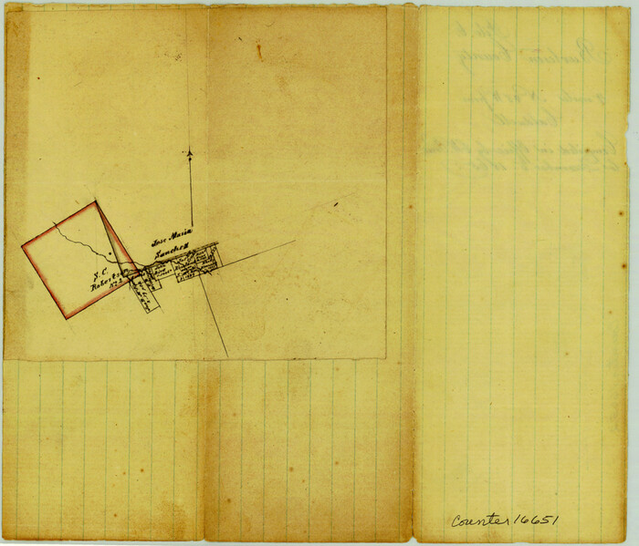
Burleson County Sketch File 6
1865

Burleson County Sketch File 7
1935
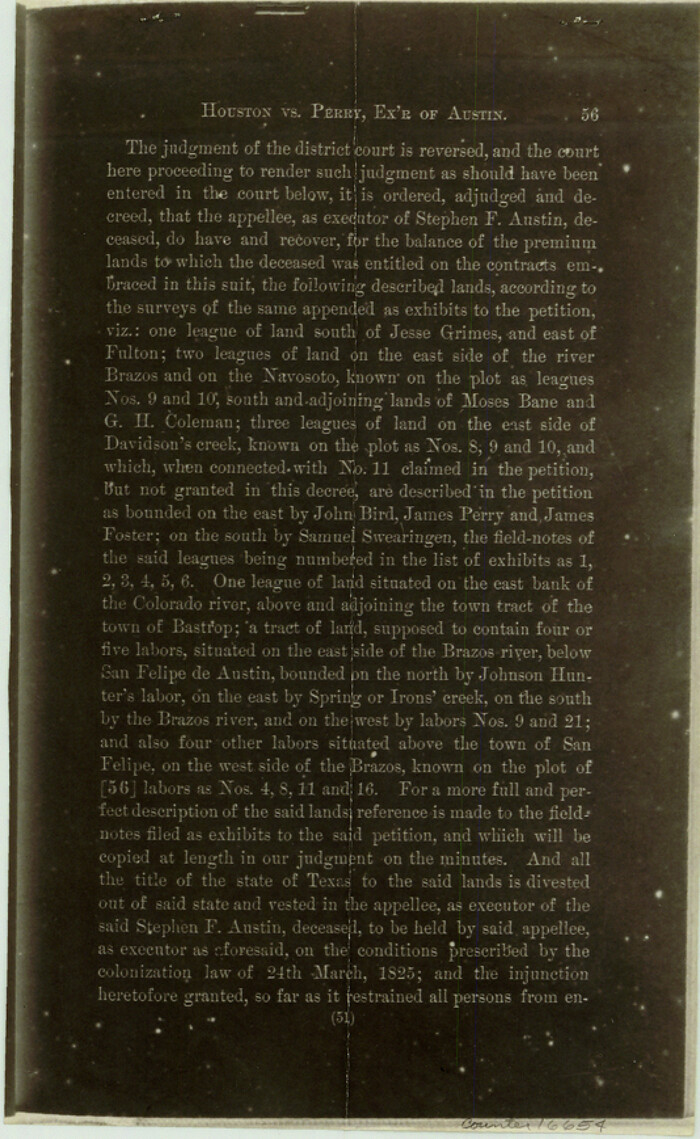
Burleson County Sketch File 8
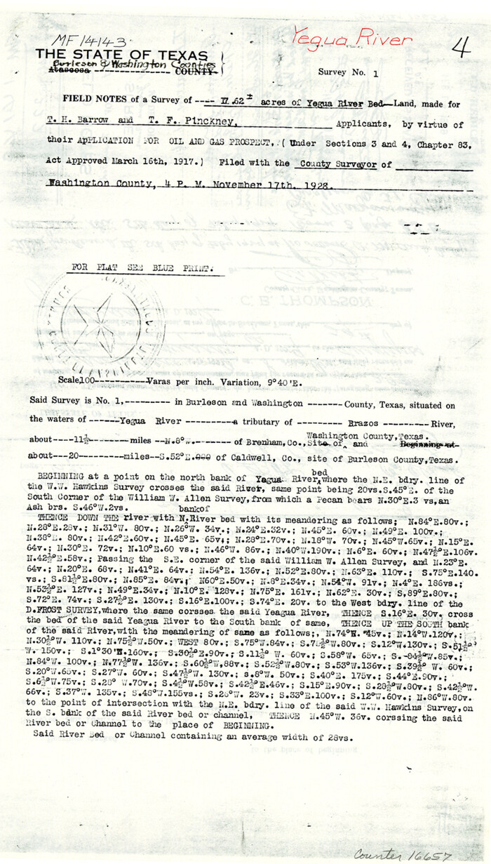
Burleson County Sketch File 9
1929
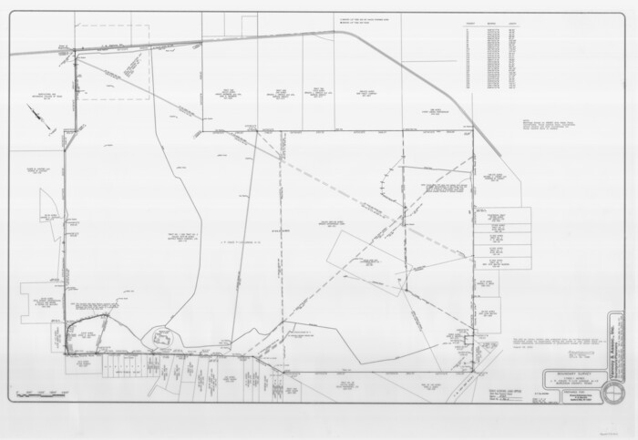
Burleson County State Real Property Sketch 1
2003

Burleson County Working Sketch 1
1928
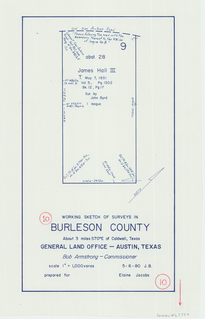
Burleson County Working Sketch 10
1980
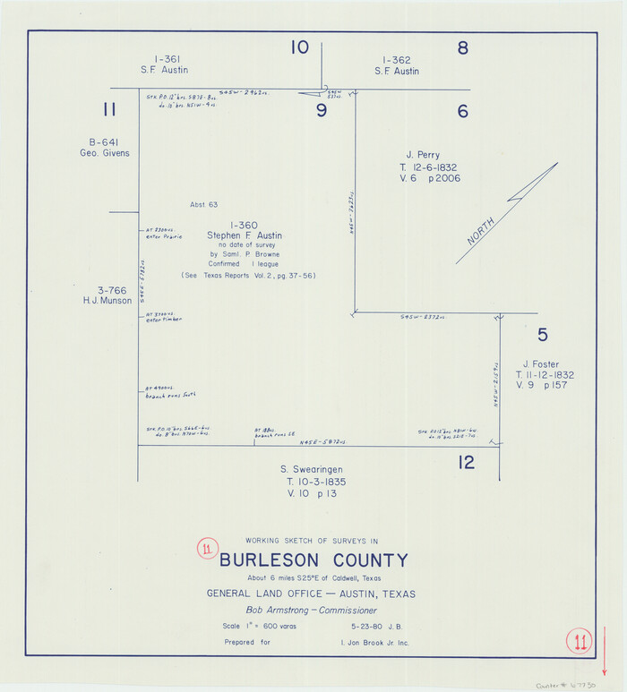
Burleson County Working Sketch 11
1980

Burleson County Working Sketch 12
1980

Brazos River, Brazos River Sheet 1
1926
-
Size
21.5 x 25.4 inches
-
Map/Doc
65293
-
Creation Date
1926

Brazos River, Brazos River Sheet 1
1926
-
Size
20.7 x 25.3 inches
-
Map/Doc
69665
-
Creation Date
1926

Brazos River, Brazos River Sheet 1
1926
-
Size
20.6 x 24.6 inches
-
Map/Doc
78264
-
Creation Date
1926

Brazos River, Brazos River Sheet 2
1926
-
Size
25.0 x 31.4 inches
-
Map/Doc
65294
-
Creation Date
1926

Brazos River, Brazos River Sheet 2
1926
-
Size
22.3 x 29.4 inches
-
Map/Doc
69666
-
Creation Date
1926

Brazos River, Brazos River Sheet 2
1926
-
Size
25.2 x 31.0 inches
-
Map/Doc
78265
-
Creation Date
1926

Brazos River, Jones Bridge Special Map Sheet
1936
-
Size
29.8 x 28.2 inches
-
Map/Doc
65280
-
Creation Date
1936

Brazos River, Sandpit Extension Sheet
1926
-
Size
31.3 x 36.5 inches
-
Map/Doc
69663
-
Creation Date
1926

Brazos River, Sandpit Special Sheet
1936
-
Size
33.8 x 24.7 inches
-
Map/Doc
65279
-
Creation Date
1936

Burleson Co.
1978
-
Size
35.4 x 46.4 inches
-
Map/Doc
73093
-
Creation Date
1978
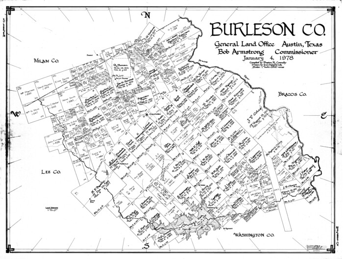
Burleson Co.
1978
-
Size
34.7 x 46.0 inches
-
Map/Doc
77225
-
Creation Date
1978

Burleson Co.
1978
-
Size
35.7 x 46.8 inches
-
Map/Doc
95442
-
Creation Date
1978

Burleson County
1884
-
Size
18.2 x 23.4 inches
-
Map/Doc
3347
-
Creation Date
1884
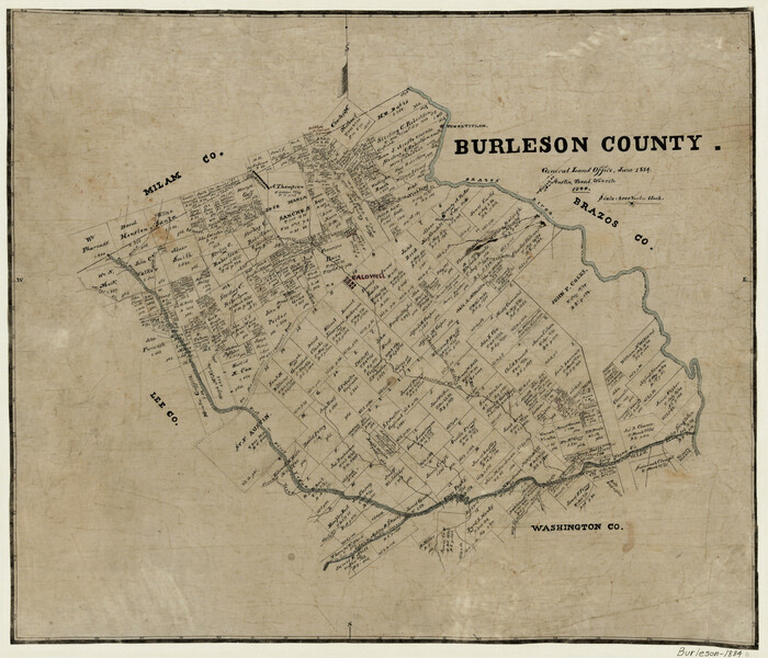
Burleson County
1884
-
Size
21.9 x 25.2 inches
-
Map/Doc
3349
-
Creation Date
1884
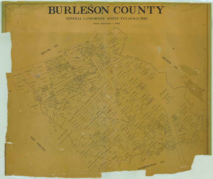
Burleson County
1920
-
Size
38.0 x 45.0 inches
-
Map/Doc
4790
-
Creation Date
1920
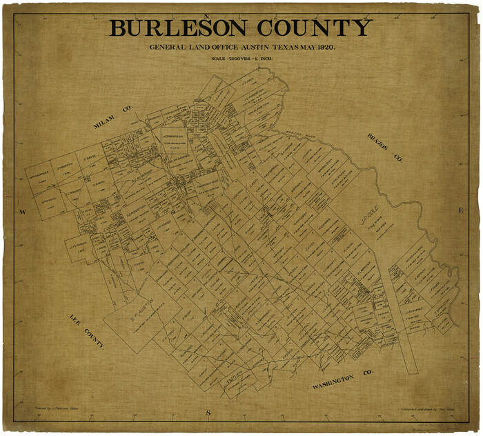
Burleson County
1920
-
Size
40.6 x 45.7 inches
-
Map/Doc
4896
-
Creation Date
1920

Burleson County
1920
-
Size
40.7 x 45.2 inches
-
Map/Doc
66740
-
Creation Date
1920

Burleson County Rolled Sketch 1
-
Size
10.2 x 16.5 inches
-
Map/Doc
43342

Burleson County Sketch File 10
-
Size
11.5 x 8.3 inches
-
Map/Doc
16663

Burleson County Sketch File 2
1847
-
Size
10.7 x 8.0 inches
-
Map/Doc
16645
-
Creation Date
1847

Burleson County Sketch File 3
1848
-
Size
6.4 x 7.4 inches
-
Map/Doc
16647
-
Creation Date
1848

Burleson County Sketch File 6
1865
-
Size
8.0 x 9.3 inches
-
Map/Doc
16651
-
Creation Date
1865

Burleson County Sketch File 7
1935
-
Size
17.0 x 14.5 inches
-
Map/Doc
16653
-
Creation Date
1935

Burleson County Sketch File 8
-
Size
8.7 x 5.3 inches
-
Map/Doc
16654

Burleson County Sketch File 9
1929
-
Size
14.2 x 8.1 inches
-
Map/Doc
16657
-
Creation Date
1929

Burleson County State Real Property Sketch 1
2003
-
Size
37.0 x 53.6 inches
-
Map/Doc
81907
-
Creation Date
2003

Burleson County Working Sketch 1
1928
-
Size
23.4 x 17.4 inches
-
Map/Doc
67720
-
Creation Date
1928

Burleson County Working Sketch 10
1980
-
Size
15.1 x 9.7 inches
-
Map/Doc
67729
-
Creation Date
1980

Burleson County Working Sketch 11
1980
-
Size
18.7 x 17.0 inches
-
Map/Doc
67730
-
Creation Date
1980

Burleson County Working Sketch 12
1980
-
Size
20.6 x 12.0 inches
-
Map/Doc
67731
-
Creation Date
1980