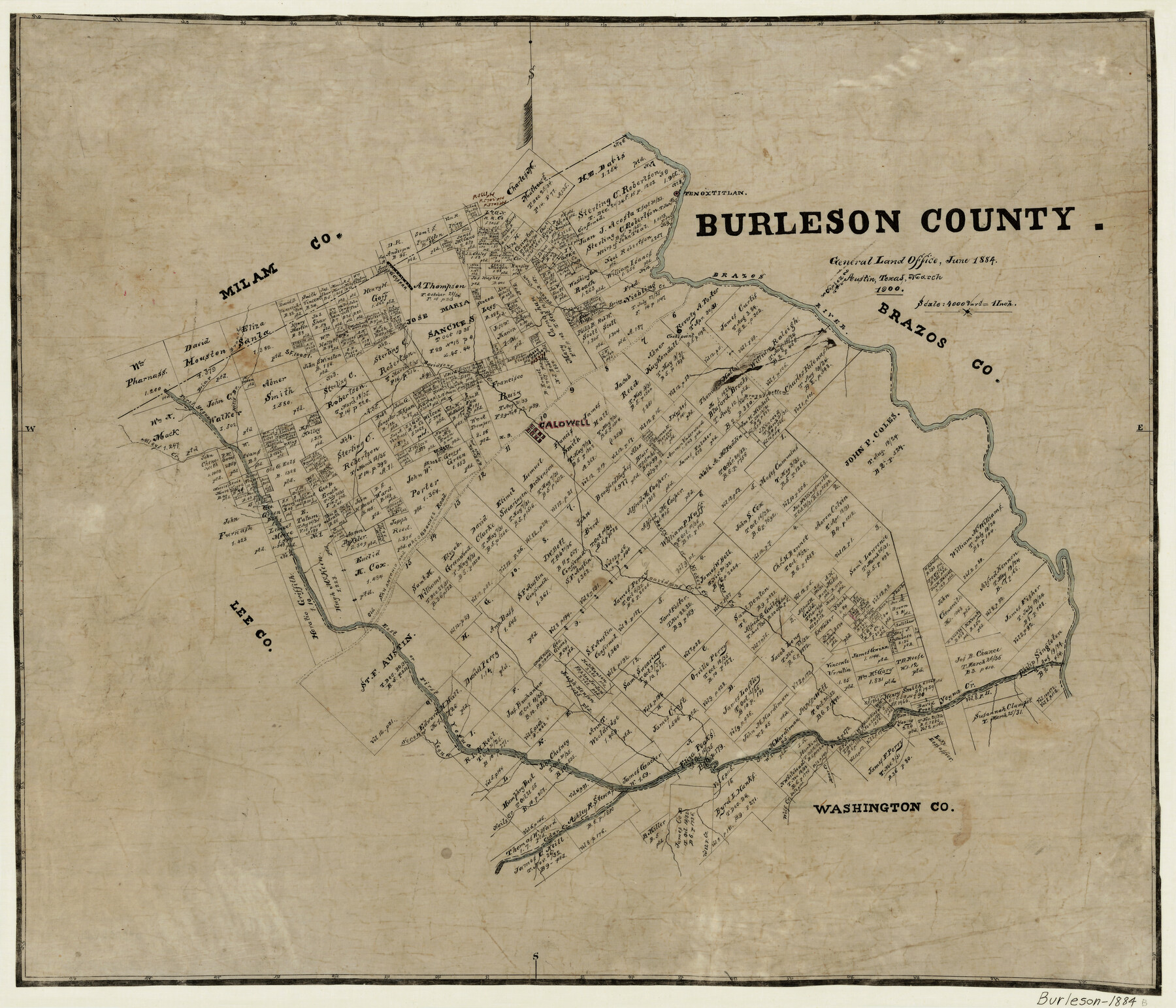
Burleson County
-
Map/Doc
3349
-
Collection
General Map Collection
-
Object Dates
6/1884 (Creation Date)
-
Counties
Burleson
-
Subjects
County
-
Height x Width
21.9 x 25.2 inches
55.6 x 64.0 cm
-
Features
Old San Antonio and Nacogdoches Road
Nails Creek
Wolf Creek
Yegua Creek
Bear Creek
East Yegua Creek
Davidsons Creek
Hickory Creek
Hog Creek
Berry Creek
Nacogdoches Road
Old San Antonio Road
Tenoxtitlan
Alleys Creek
First Yegua Creek
Hills Branch of First Yegua Creek
Caldwell
Brazos Bottom
Cook's Point
Spring Creek
Cedar Creek
Briar Branch
GC&SF
Brazos River
Part of: General Map Collection
Bastrop County Sketch File 12

Print $12.00
- Digital $50.00
Bastrop County Sketch File 12
1846
Size 12.8 x 8.4 inches
Map/Doc 14064
Cameron County Sketch File 7a

Print $32.00
- Digital $50.00
Cameron County Sketch File 7a
1982
Size 11.2 x 8.4 inches
Map/Doc 17115
Aransas County Sketch File 10

Print $4.00
- Digital $50.00
Aransas County Sketch File 10
1871
Size 7.3 x 9.4 inches
Map/Doc 13116
Anderson County Sketch File 30

Print $4.00
- Digital $50.00
Anderson County Sketch File 30
1989
Size 11.3 x 8.6 inches
Map/Doc 12816
Runnels County Working Sketch 35b

Print $20.00
- Digital $50.00
Runnels County Working Sketch 35b
1981
Size 36.0 x 38.6 inches
Map/Doc 63634
Pecos County Rolled Sketch 6

Print $20.00
- Digital $50.00
Pecos County Rolled Sketch 6
Size 43.6 x 31.2 inches
Map/Doc 9680
Flight Mission No. DQN-2K, Frame 147, Calhoun County

Print $20.00
- Digital $50.00
Flight Mission No. DQN-2K, Frame 147, Calhoun County
1953
Size 19.0 x 22.6 inches
Map/Doc 84316
Dickens County Sketch File 30

Print $11.00
- Digital $50.00
Dickens County Sketch File 30
Size 8.3 x 8.2 inches
Map/Doc 21020
McLennan County Sketch File 27

Print $4.00
- Digital $50.00
McLennan County Sketch File 27
Size 8.2 x 8.3 inches
Map/Doc 31300
Menard County Sketch File 21

Print $40.00
- Digital $50.00
Menard County Sketch File 21
1913
Size 14.1 x 14.8 inches
Map/Doc 31551
Kinney County Working Sketch 50

Print $20.00
- Digital $50.00
Kinney County Working Sketch 50
1980
Size 19.4 x 26.9 inches
Map/Doc 70232

You may also like

Jim Wells County Boundary File 1a

Print $80.00
- Digital $50.00
Jim Wells County Boundary File 1a
Size 60.8 x 13.5 inches
Map/Doc 55542
Travis County Sketch File 10

Print $16.00
- Digital $50.00
Travis County Sketch File 10
1863
Size 7.7 x 13.7 inches
Map/Doc 38292
Rusk County Sketch File 39

Print $6.00
Rusk County Sketch File 39
1951
Size 11.3 x 8.9 inches
Map/Doc 35579
Hopkins County Boundary File 1

Print $26.00
- Digital $50.00
Hopkins County Boundary File 1
Size 12.3 x 7.9 inches
Map/Doc 55044
Map of North America engraved to illustrate Mitchell's school and family geography

Print $20.00
- Digital $50.00
Map of North America engraved to illustrate Mitchell's school and family geography
1839
Size 11.8 x 9.5 inches
Map/Doc 93493
Jasper County Working Sketch 18

Print $20.00
- Digital $50.00
Jasper County Working Sketch 18
1934
Size 22.4 x 30.5 inches
Map/Doc 66480
Capitol Lands survey by J. T. Munson

Print $20.00
- Digital $50.00
Capitol Lands survey by J. T. Munson
Size 24.8 x 20.4 inches
Map/Doc 90585
Flight Mission No. BRA-3M, Frame 127, Jefferson County

Print $20.00
- Digital $50.00
Flight Mission No. BRA-3M, Frame 127, Jefferson County
1953
Size 18.5 x 21.6 inches
Map/Doc 85401
Fort Bend County State Real Property Sketch 15

Print $20.00
- Digital $50.00
Fort Bend County State Real Property Sketch 15
1985
Size 34.9 x 43.5 inches
Map/Doc 61689
General Highway Map, Clay County, Texas

Print $20.00
General Highway Map, Clay County, Texas
1940
Size 25.2 x 18.6 inches
Map/Doc 79047
Sketch for Blocks D6, D7, D8 situated in Val Verde County, Texas

Print $40.00
- Digital $50.00
Sketch for Blocks D6, D7, D8 situated in Val Verde County, Texas
1937
Size 100.1 x 40.0 inches
Map/Doc 93166