
Potter County Sketch File 3
1883
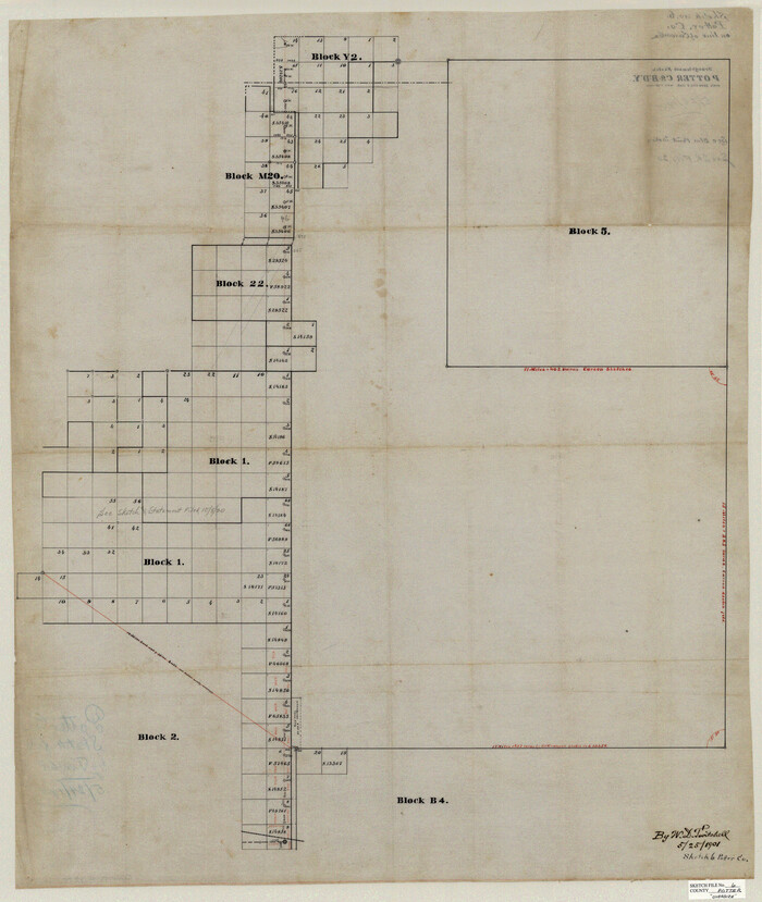
Potter County Sketch File 6
1900

Armstrong County Sketch File 4
1887

Carson County Sketch File 1

Carson County Sketch File 2
1888
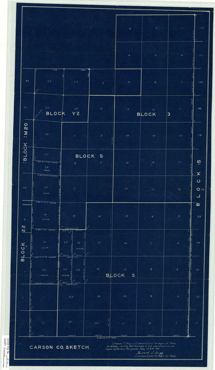
Carson County Sketch File 6c
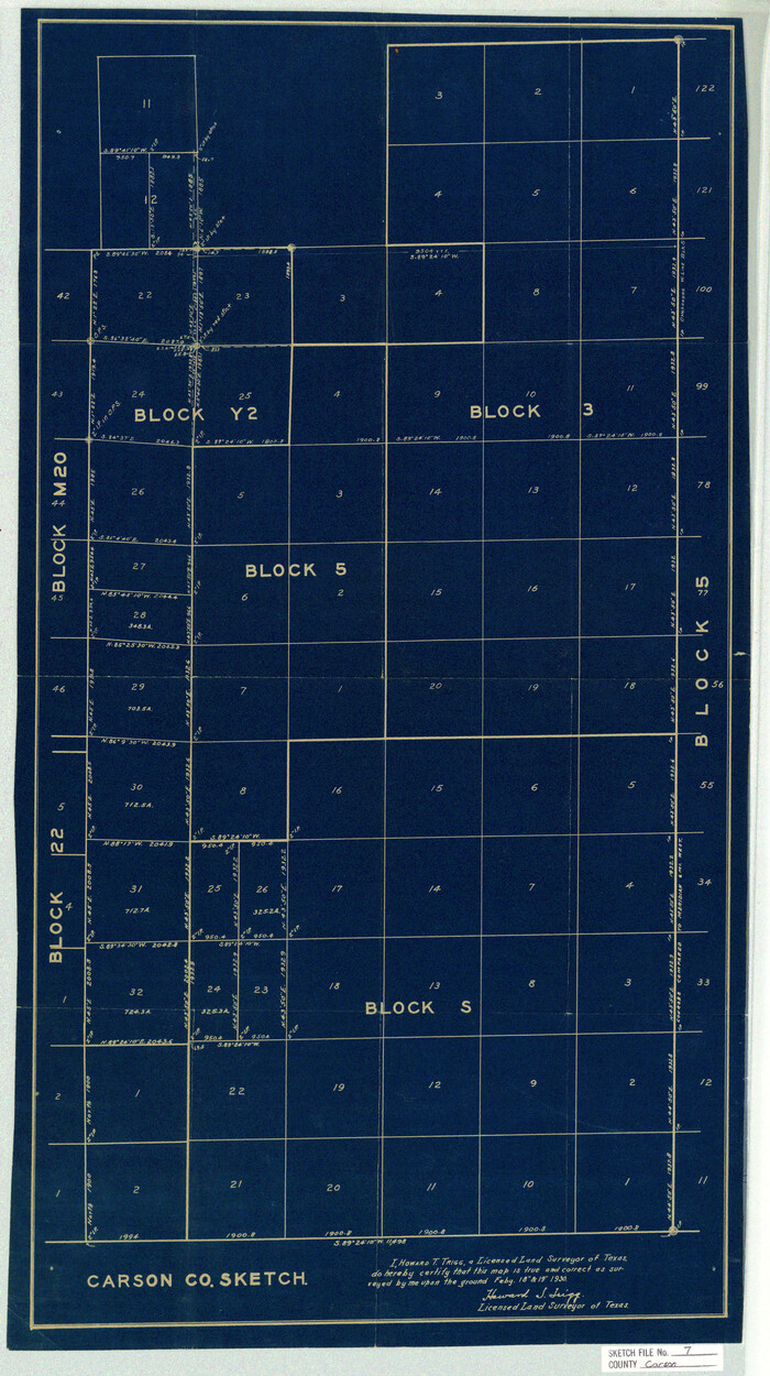
Carson County Sketch File 7

Gray County Sketch File B2
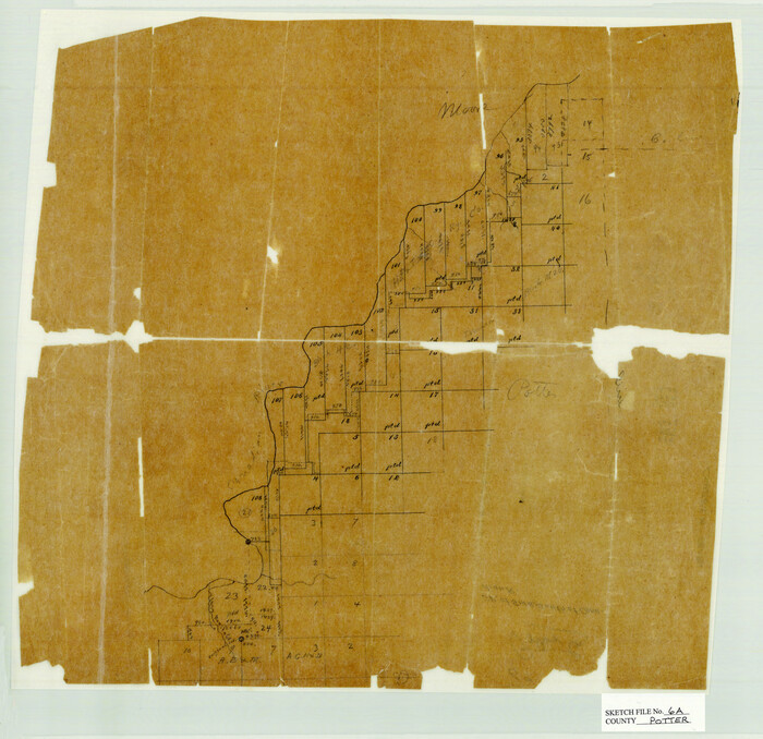
Potter County Sketch File 6A
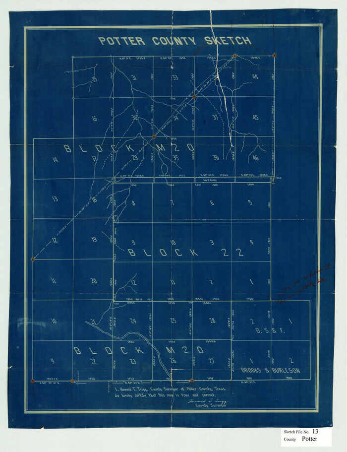
Potter County Sketch File 13

Potter County Sketch File 15

Armstrong County Sketch File 7
1902

Armstrong County Sketch File A-15
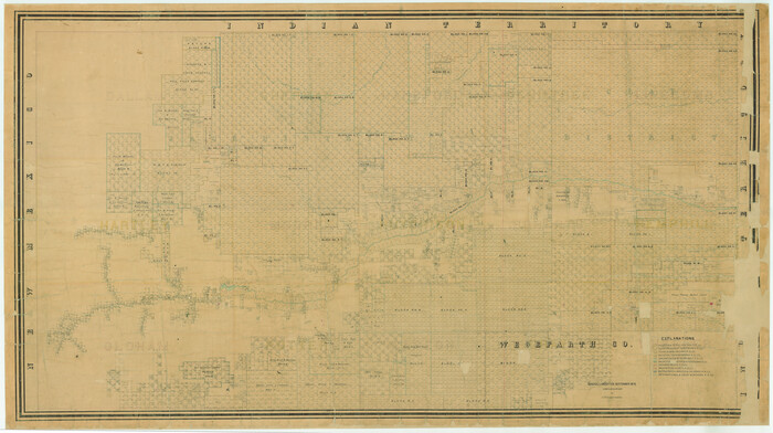
[Young Territory]
1875

Carson County Sketch File 3
1888

Carson County Sketch File 4
1901

Carson County Sketch File 5
1916
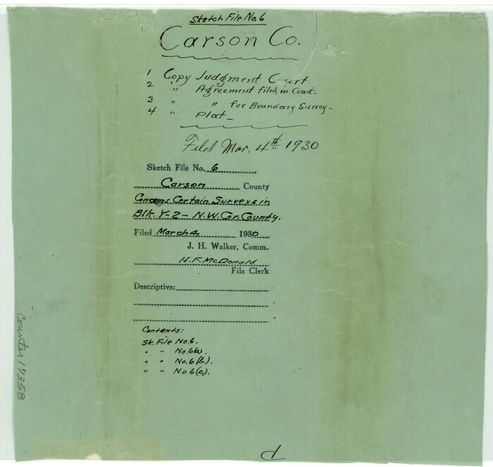
Carson County Sketch File 6
1928
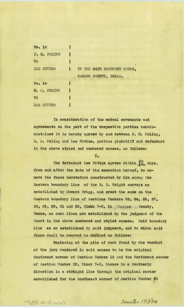
Carson County Sketch File 6a
1928
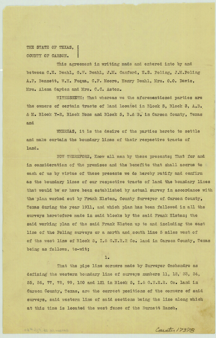
Carson County Sketch File 6b
1928
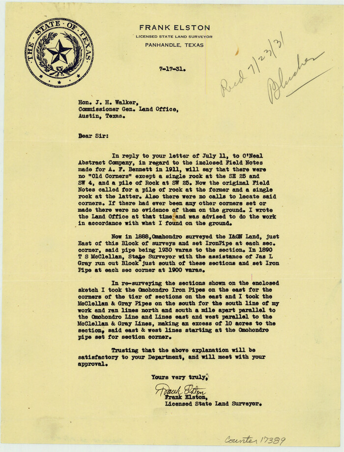
Carson County Sketch File 8
1931
Gray County Sketch File B1
1882

Hutchinson County Sketch File 4
1890

Hutchinson County Sketch File 6a
1898

Hutchinson County Sketch File 12
1908
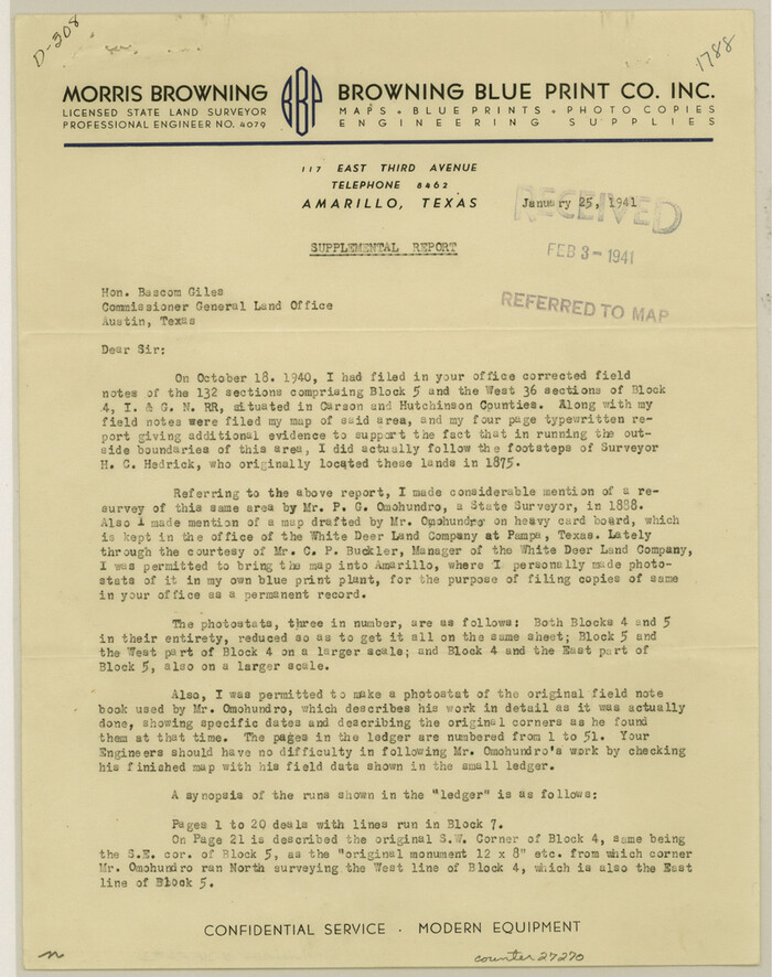
Hutchinson County Sketch File 36
1941

Hutchinson County Sketch File 37
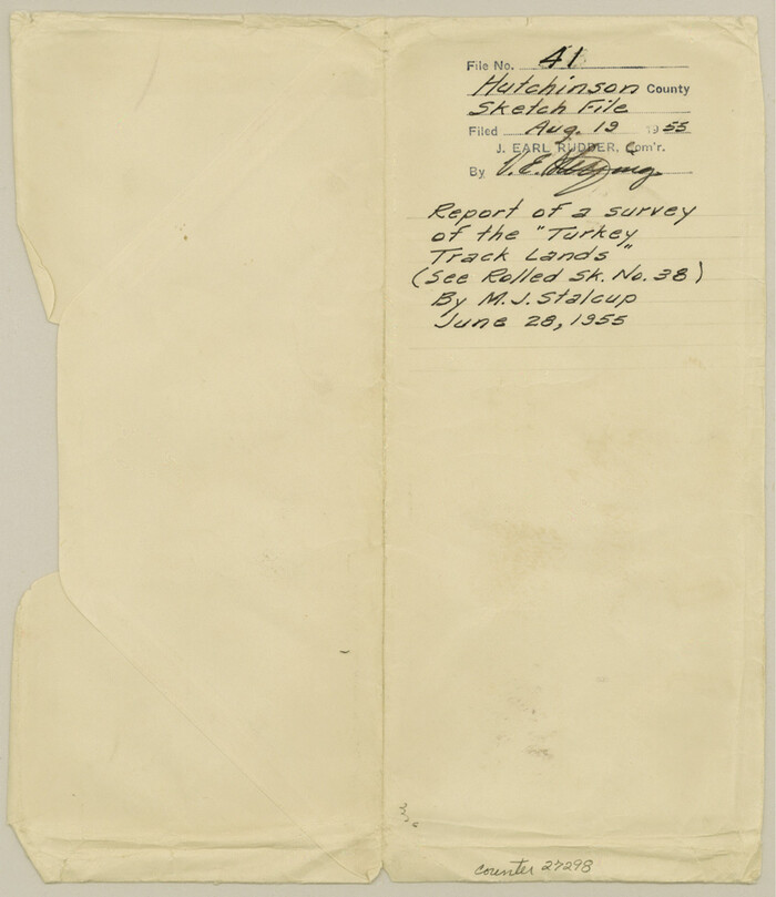
Hutchinson County Sketch File 41
1955

Potter County Sketch File 3
1883
-
Size
37.5 x 47.6 inches
-
Map/Doc
10574
-
Creation Date
1883

Potter County Sketch File 6
1900
-
Size
34.4 x 29.0 inches
-
Map/Doc
10575
-
Creation Date
1900

Armstrong County Sketch File 4
1887
-
Size
17.9 x 20.1 inches
-
Map/Doc
10840
-
Creation Date
1887

Carson County Sketch File 1
-
Size
16.8 x 18.5 inches
-
Map/Doc
11053

Carson County Sketch File 2
1888
-
Size
19.5 x 21.1 inches
-
Map/Doc
11054
-
Creation Date
1888

Carson County Sketch File 6c
-
Size
26.6 x 15.5 inches
-
Map/Doc
11055

Carson County Sketch File 7
-
Size
26.7 x 15.0 inches
-
Map/Doc
11056

Gray County Sketch File B2
-
Size
22.8 x 17.3 inches
-
Map/Doc
11579

Potter County Sketch File 6A
-
Size
16.7 x 17.3 inches
-
Map/Doc
12196

Potter County Sketch File 13
-
Size
21.6 x 16.6 inches
-
Map/Doc
12199

Potter County Sketch File 15
-
Size
19.5 x 21.1 inches
-
Map/Doc
12201

Armstrong County Sketch File 7
1902
-
Size
11.1 x 8.6 inches
-
Map/Doc
13702
-
Creation Date
1902

Armstrong County Sketch File A-15
-
Size
17.8 x 14.0 inches
-
Map/Doc
13716
![16784, [Young Territory], General Map Collection](https://historictexasmaps.com/wmedia_w700/maps/16784.tif.jpg)
[Young Territory]
1875
-
Size
49.0 x 87.4 inches
-
Map/Doc
16784
-
Creation Date
1875

Carson County Sketch File 3
1888
-
Size
5.4 x 8.4 inches
-
Map/Doc
17335
-
Creation Date
1888

Carson County Sketch File 4
1901
-
Size
9.7 x 6.2 inches
-
Map/Doc
17351
-
Creation Date
1901

Carson County Sketch File 5
1916
-
Size
7.5 x 8.7 inches
-
Map/Doc
17353
-
Creation Date
1916

Carson County Sketch File 6
1928
-
Size
9.1 x 9.6 inches
-
Map/Doc
17358
-
Creation Date
1928

Carson County Sketch File 6a
1928
-
Size
14.1 x 8.4 inches
-
Map/Doc
17374
-
Creation Date
1928

Carson County Sketch File 6b
1928
-
Size
13.4 x 8.6 inches
-
Map/Doc
17378
-
Creation Date
1928

Carson County Sketch File 8
1931
-
Size
11.2 x 8.6 inches
-
Map/Doc
17389
-
Creation Date
1931

Carson County
1932
-
Size
44.8 x 40.1 inches
-
Map/Doc
1795
-
Creation Date
1932

Gray County Sketch File B1
1882
-
Size
8.9 x 8.6 inches
-
Map/Doc
24398
-
Creation Date
1882

Hutchinson County Sketch File 4
1890
-
Size
14.2 x 8.7 inches
-
Map/Doc
27179
-
Creation Date
1890

Hutchinson County Sketch File 6a
1898
-
Size
7.6 x 8.6 inches
-
Map/Doc
27202
-
Creation Date
1898

Hutchinson County Sketch File 12
1908
-
Size
16.1 x 15.7 inches
-
Map/Doc
27211
-
Creation Date
1908

Hutchinson County Sketch File 36
1941
-
Size
11.2 x 8.9 inches
-
Map/Doc
27270
-
Creation Date
1941

Hutchinson County Sketch File 37
-
Size
11.3 x 8.8 inches
-
Map/Doc
27275

Hutchinson County Sketch File 41
1955
-
Size
9.8 x 8.5 inches
-
Map/Doc
27298
-
Creation Date
1955

Carson County
1878
-
Size
18.2 x 18.6 inches
-
Map/Doc
3367
-
Creation Date
1878