
Dickens County Working Sketch 15
2011

Dickens County Working Sketch 14
1986
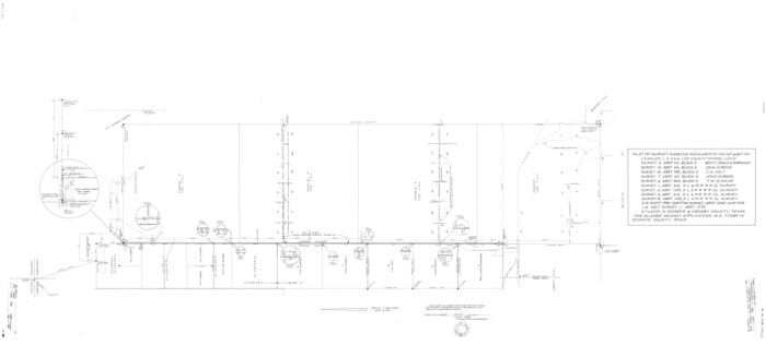
Dickens County Rolled Sketch 14
1981
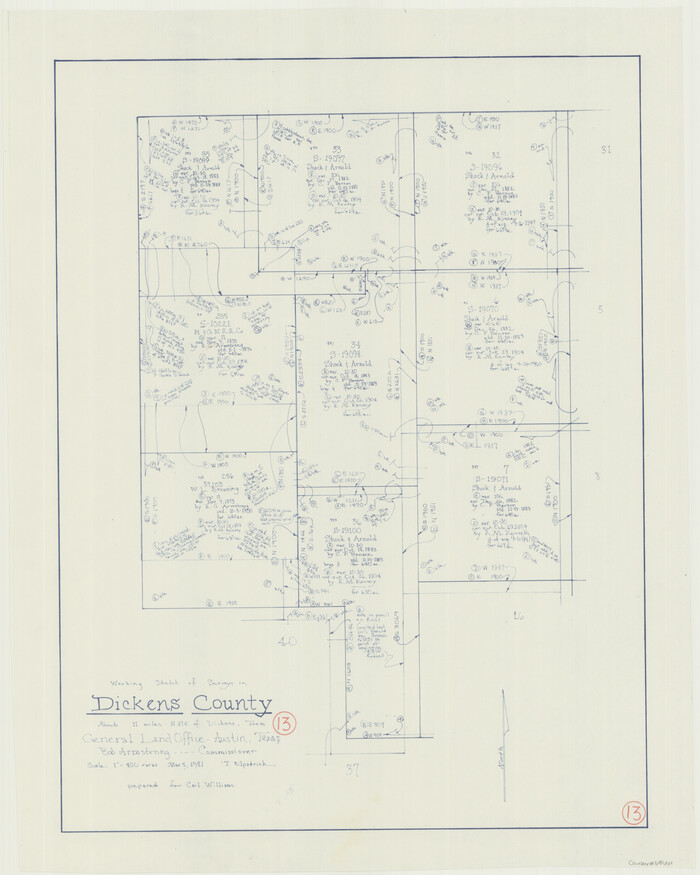
Dickens County Working Sketch 13
1981
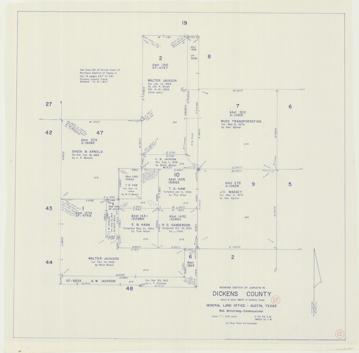
Dickens County Working Sketch 12
1978

Crosby County Working Sketch 14
1976

Dickens County Working Sketch 11
1969

Dickens County Working Sketch 10
1965

Dickens County Working Sketch Graphic Index
1963
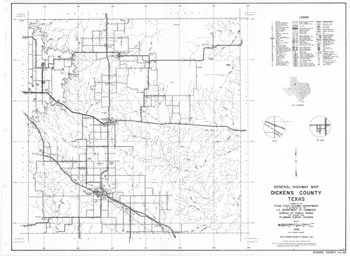
General Highway Map, Dickens County, Texas
1961

Dickens County Sketch File 18
1959
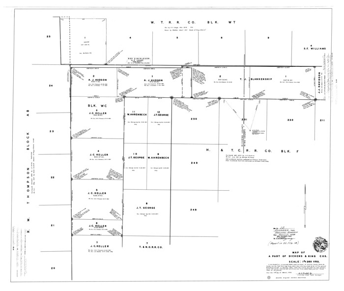
Dickens County Rolled Sketch 12
1959
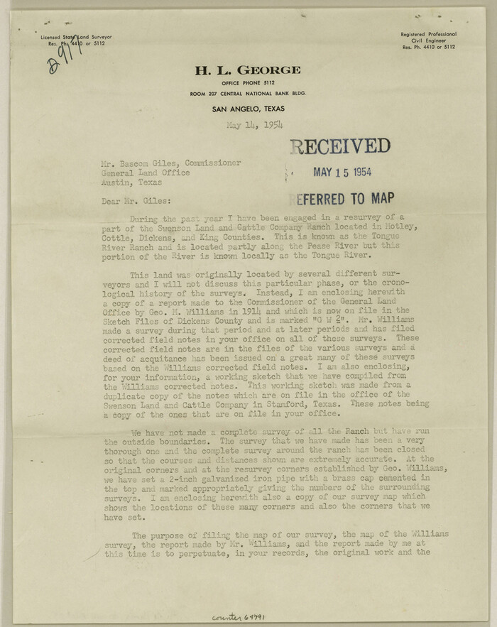
Dickens County Sketch File 35
1954
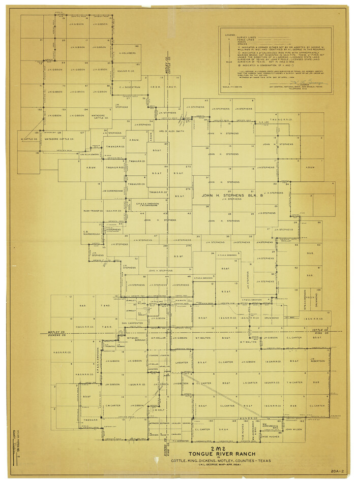
Dickens County Rolled Sketch 9
1954
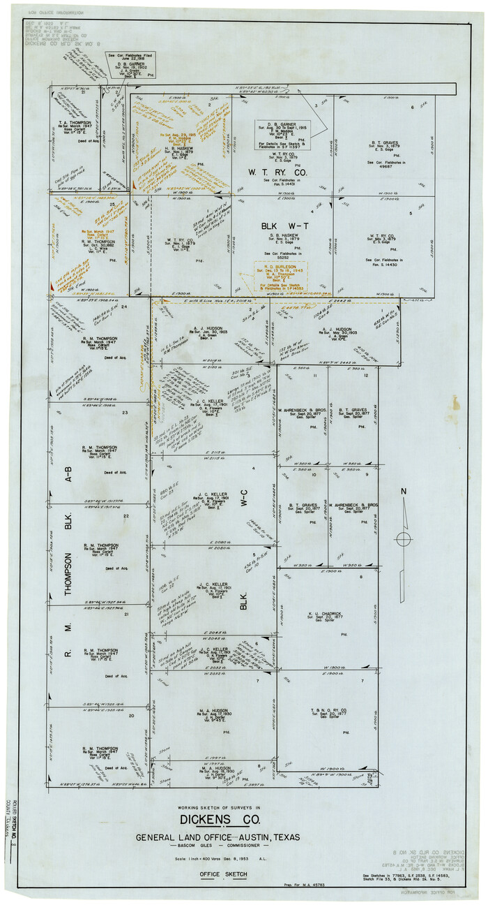
Dickens County Rolled Sketch 8
1953

Dickens County Rolled Sketch 13
1950

Dickens County Rolled Sketch 13
1950

Dickens County Sketch File 33
1947

Dickens County Rolled Sketch 5A
1947
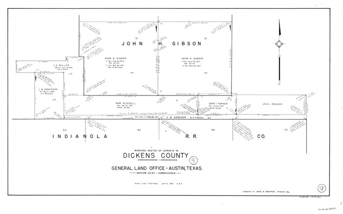
Dickens County Working Sketch 9
1947

Dickens County Rolled Sketch 5
1947
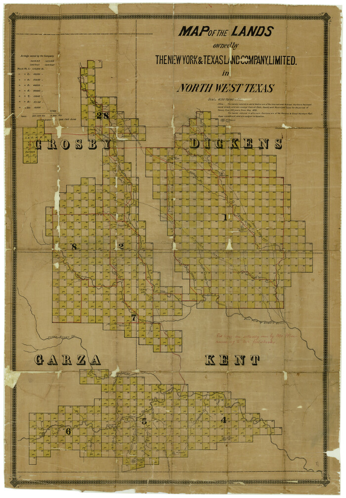
Dickens County Rolled Sketch 7
1947

Dickens County Working Sketch 8
1947
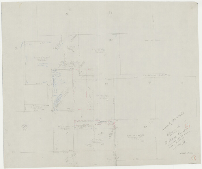
Dickens County Working Sketch 7
1947

General Highway Map, Dickens County, Texas
1940
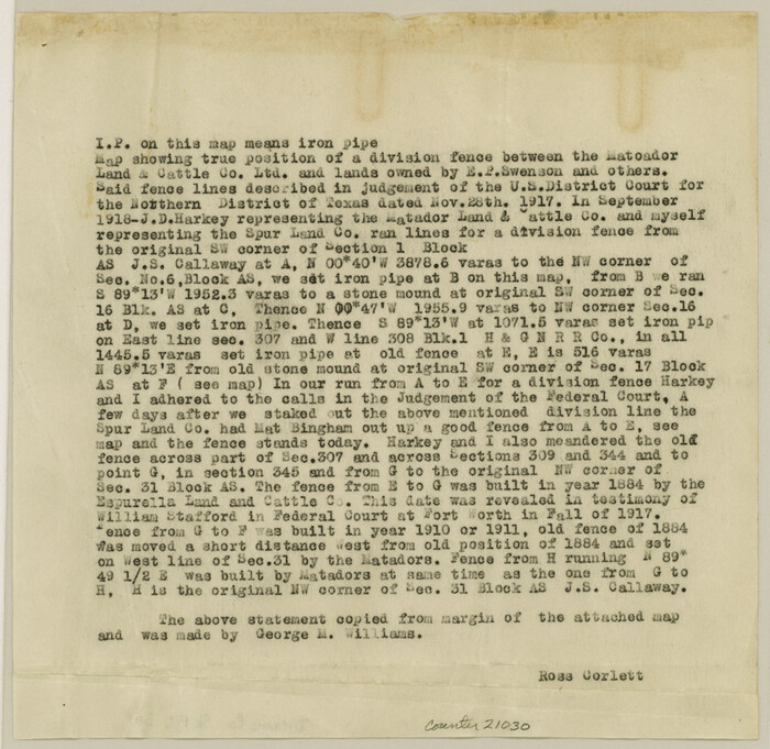
Dickens County Sketch File 34
1938
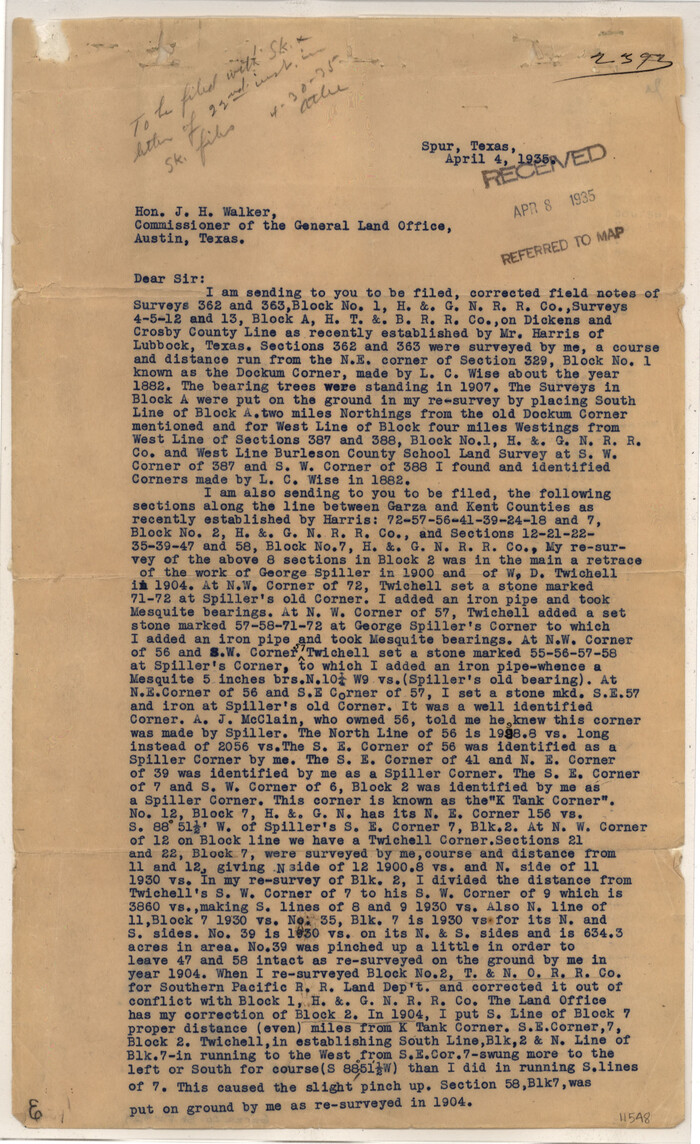
Garza County Sketch File 29
1935

Dickens County Working Sketch 15
2011
-
Size
28.8 x 28.6 inches
-
Map/Doc
90067
-
Creation Date
2011

Dickens County Working Sketch 14
1986
-
Size
25.5 x 30.7 inches
-
Map/Doc
62180
-
Creation Date
1986

Dickens County Rolled Sketch 14
1981
-
Size
36.5 x 80.7 inches
-
Map/Doc
8792
-
Creation Date
1981

Dickens County Working Sketch 13
1981
-
Size
26.8 x 21.4 inches
-
Map/Doc
68661
-
Creation Date
1981

Dickens County Working Sketch 12
1978
-
Size
28.3 x 28.9 inches
-
Map/Doc
68660
-
Creation Date
1978

Crosby County Working Sketch 14
1976
-
Size
41.6 x 32.3 inches
-
Map/Doc
68448
-
Creation Date
1976

Dickens County Working Sketch 11
1969
-
Size
52.6 x 37.8 inches
-
Map/Doc
68659
-
Creation Date
1969

Dickens County Working Sketch 10
1965
-
Size
62.2 x 39.5 inches
-
Map/Doc
68658
-
Creation Date
1965
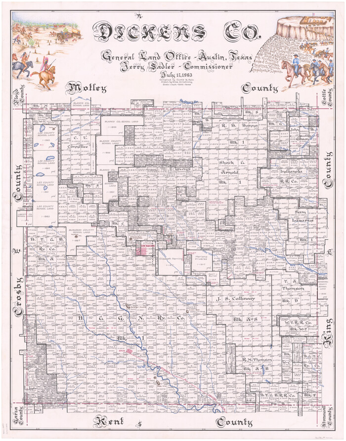
Dickens Co.
1963
-
Size
42.8 x 34.3 inches
-
Map/Doc
73132
-
Creation Date
1963
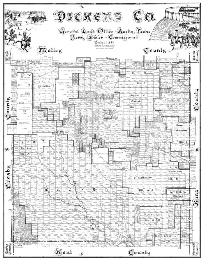
Dickens Co.
1963
-
Size
42.8 x 33.9 inches
-
Map/Doc
77264
-
Creation Date
1963

Dickens County Working Sketch Graphic Index
1963
-
Size
42.5 x 33.6 inches
-
Map/Doc
76523
-
Creation Date
1963
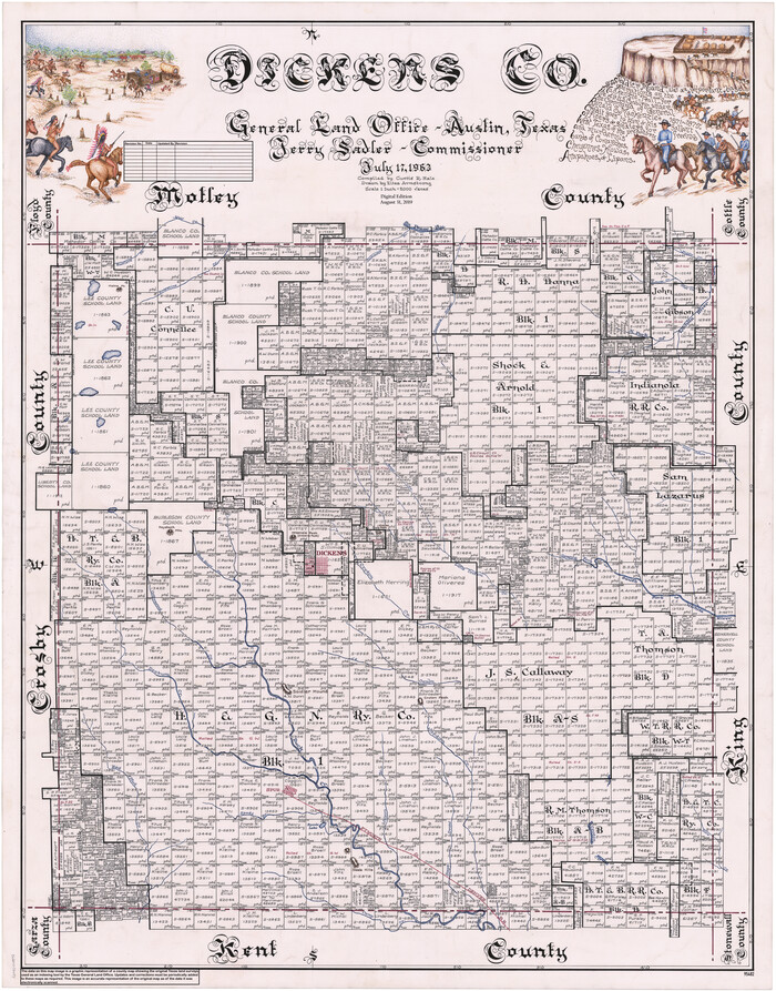
Dickens Co.
1963
-
Size
43.7 x 34.2 inches
-
Map/Doc
95482
-
Creation Date
1963

General Highway Map, Dickens County, Texas
1961
-
Size
18.2 x 24.9 inches
-
Map/Doc
79443
-
Creation Date
1961

Dickens County Sketch File 18
1959
-
Size
11.3 x 8.8 inches
-
Map/Doc
20979
-
Creation Date
1959

Dickens County Rolled Sketch 12
1959
-
Size
33.5 x 39.7 inches
-
Map/Doc
8790
-
Creation Date
1959

Dickens County Sketch File 35
1954
-
Size
11.2 x 8.9 inches
-
Map/Doc
64791
-
Creation Date
1954

Dickens County Rolled Sketch 9
1954
-
Size
41.0 x 30.3 inches
-
Map/Doc
5708
-
Creation Date
1954

Dickens County Rolled Sketch 8
1953
-
Size
42.9 x 23.7 inches
-
Map/Doc
5707
-
Creation Date
1953

Dickens County Rolled Sketch 13
1950
-
Size
44.3 x 53.8 inches
-
Map/Doc
44296
-
Creation Date
1950

Dickens County Rolled Sketch 13
1950
-
Size
43.4 x 53.7 inches
-
Map/Doc
45135
-
Creation Date
1950

Dickens County Sketch File 33
1947
-
Size
14.5 x 9.1 inches
-
Map/Doc
21025
-
Creation Date
1947

Dickens County Rolled Sketch 5A
1947
-
Size
60.3 x 40.9 inches
-
Map/Doc
8788
-
Creation Date
1947

Dickens County Working Sketch 9
1947
-
Size
18.5 x 29.6 inches
-
Map/Doc
68657
-
Creation Date
1947

Dickens County Rolled Sketch 5
1947
-
Size
60.2 x 40.3 inches
-
Map/Doc
8787
-
Creation Date
1947

Dickens County Rolled Sketch 7
1947
-
Size
33.6 x 23.6 inches
-
Map/Doc
5706
-
Creation Date
1947

Dickens County Working Sketch 8
1947
-
Size
68.5 x 43.7 inches
-
Map/Doc
68656
-
Creation Date
1947

Dickens County Working Sketch 7
1947
-
Size
26.1 x 31.1 inches
-
Map/Doc
68655
-
Creation Date
1947

General Highway Map, Dickens County, Texas
1940
-
Size
18.3 x 25.3 inches
-
Map/Doc
79076
-
Creation Date
1940

Dickens County Sketch File 34
1938
-
Size
8.5 x 8.7 inches
-
Map/Doc
21030
-
Creation Date
1938

Garza County Sketch File 29
1935
-
Size
24.8 x 26.5 inches
-
Map/Doc
11548
-
Creation Date
1935