Block 1 H&GN RR Co.


Print $20.00
- Digital $50.00
Block 1 H&GN RR Co.
Size: 39.3 x 40.3 inches
89769
Block I, Dickens County Compiled by W.D. Twichell as directed by Cowan & Burney Upon G.M. Williams' Measurements


Print $20.00
- Digital $50.00
Block I, Dickens County Compiled by W.D. Twichell as directed by Cowan & Burney Upon G.M. Williams' Measurements
1916
Size: 41.5 x 41.7 inches
89770
Blocks 3 and 4 Capitol Syndicate Subdivision of Capitol Leagues 93, 94, 95, 96, 104, 105, 106, 107, 116, 117, 118, 127, 128, 129, 130, 131, 132, 140, 141, 142, and Parts of 75, 83, 84, 85, 86, 108, 143, 144, and 145
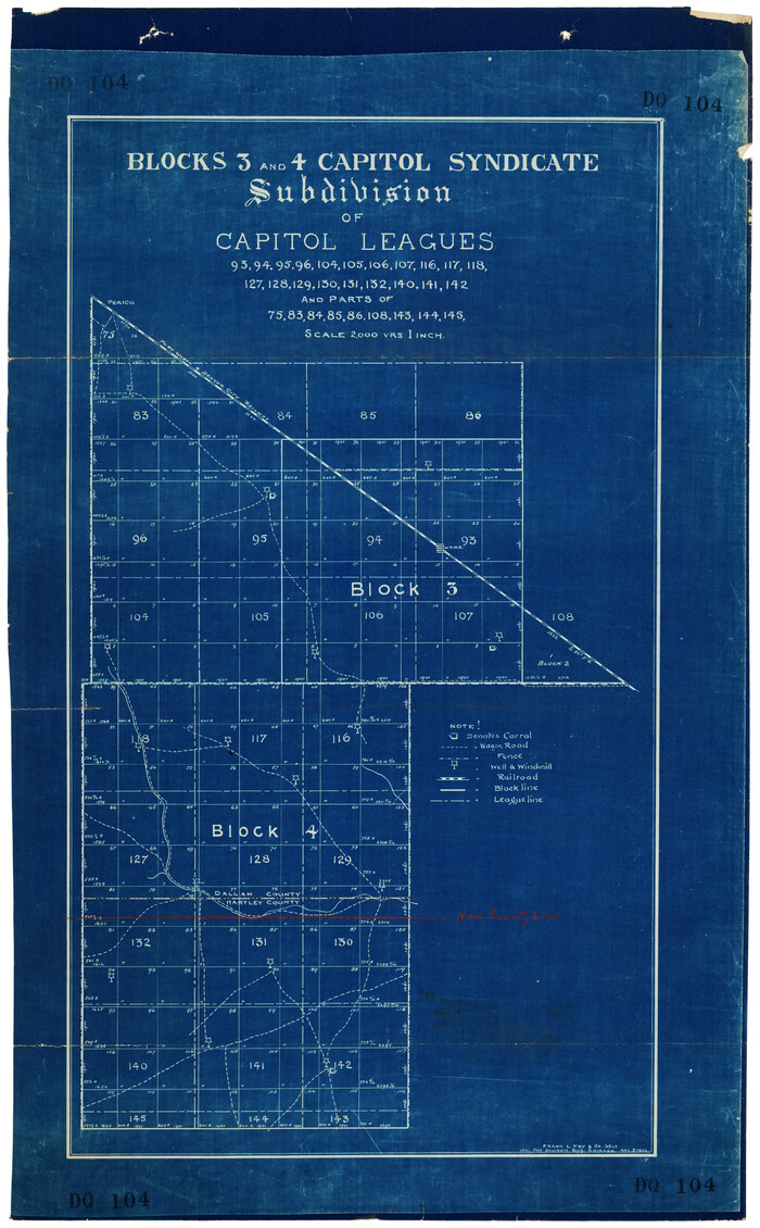

Print $20.00
- Digital $50.00
Blocks 3 and 4 Capitol Syndicate Subdivision of Capitol Leagues 93, 94, 95, 96, 104, 105, 106, 107, 116, 117, 118, 127, 128, 129, 130, 131, 132, 140, 141, 142, and Parts of 75, 83, 84, 85, 86, 108, 143, 144, and 145
1906
Size: 18.1 x 29.2 inches
92582
Cottle County Rolled Sketch 11


Print $20.00
- Digital $50.00
Cottle County Rolled Sketch 11
1927
Size: 31.6 x 24.1 inches
5568
Cottle County Rolled Sketch D


Print $20.00
- Digital $50.00
Cottle County Rolled Sketch D
1898
Size: 29.0 x 20.4 inches
5572
Cottle County Sketch File AA1

Print $95.00
- Digital $50.00
Cottle County Sketch File AA1
1895
Size: 9.4 x 4.2 inches
19398
Crosby County Sketch File 19


Print $6.00
- Digital $50.00
Crosby County Sketch File 19
1910
Size: 8.2 x 8.1 inches
20084
Crosby County Sketch File 1b
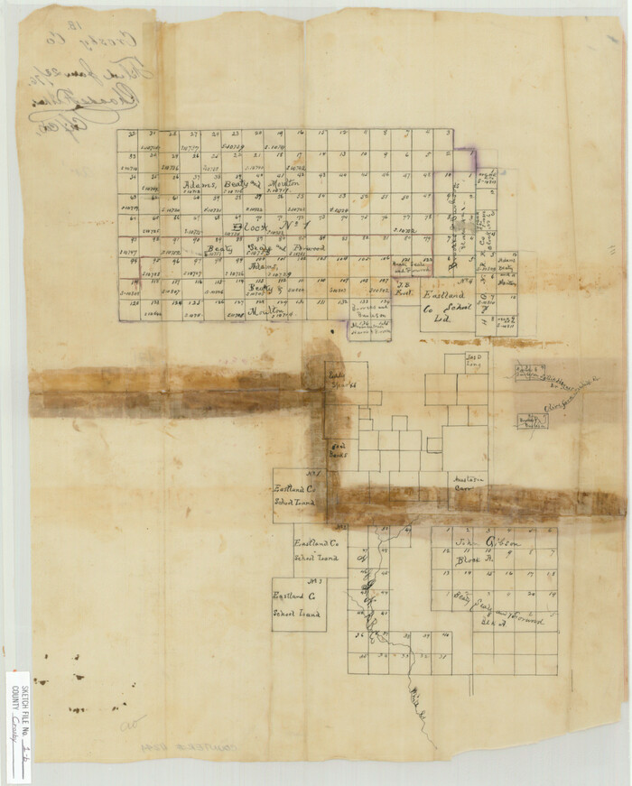

Print $20.00
- Digital $50.00
Crosby County Sketch File 1b
Size: 18.0 x 14.5 inches
11244
Crosby County Sketch File 31
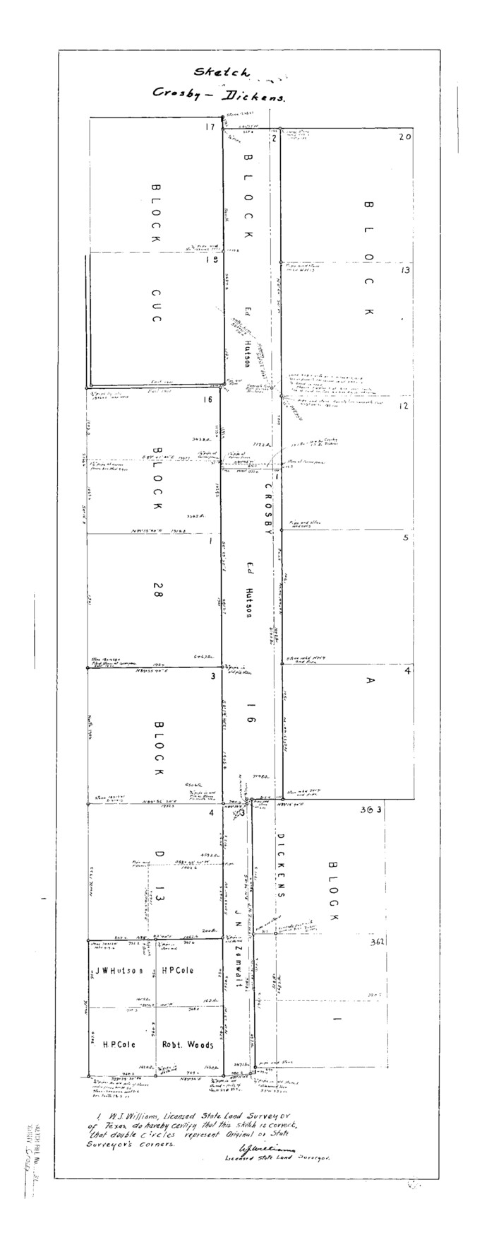

Print $20.00
- Digital $50.00
Crosby County Sketch File 31
Size: 35.0 x 14.0 inches
11257
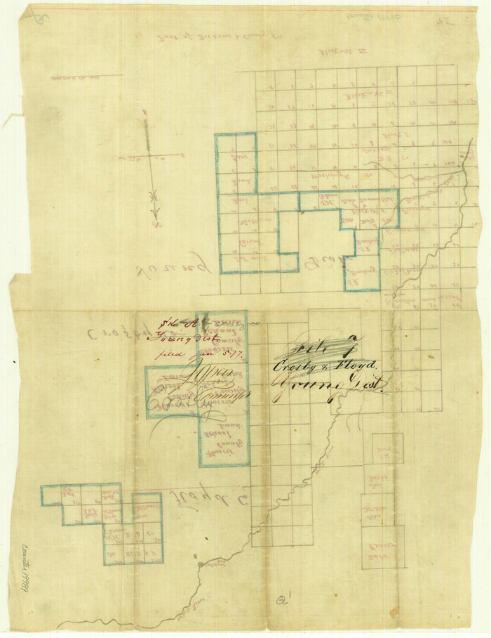
Crosby County Sketch File A

Print $6.00
- Digital $50.00
Crosby County Sketch File A
Size: 15.2 x 11.7 inches
19989
Crosby County Working Sketch 14


Print $20.00
- Digital $50.00
Crosby County Working Sketch 14
1976
Size: 41.6 x 32.3 inches
68448
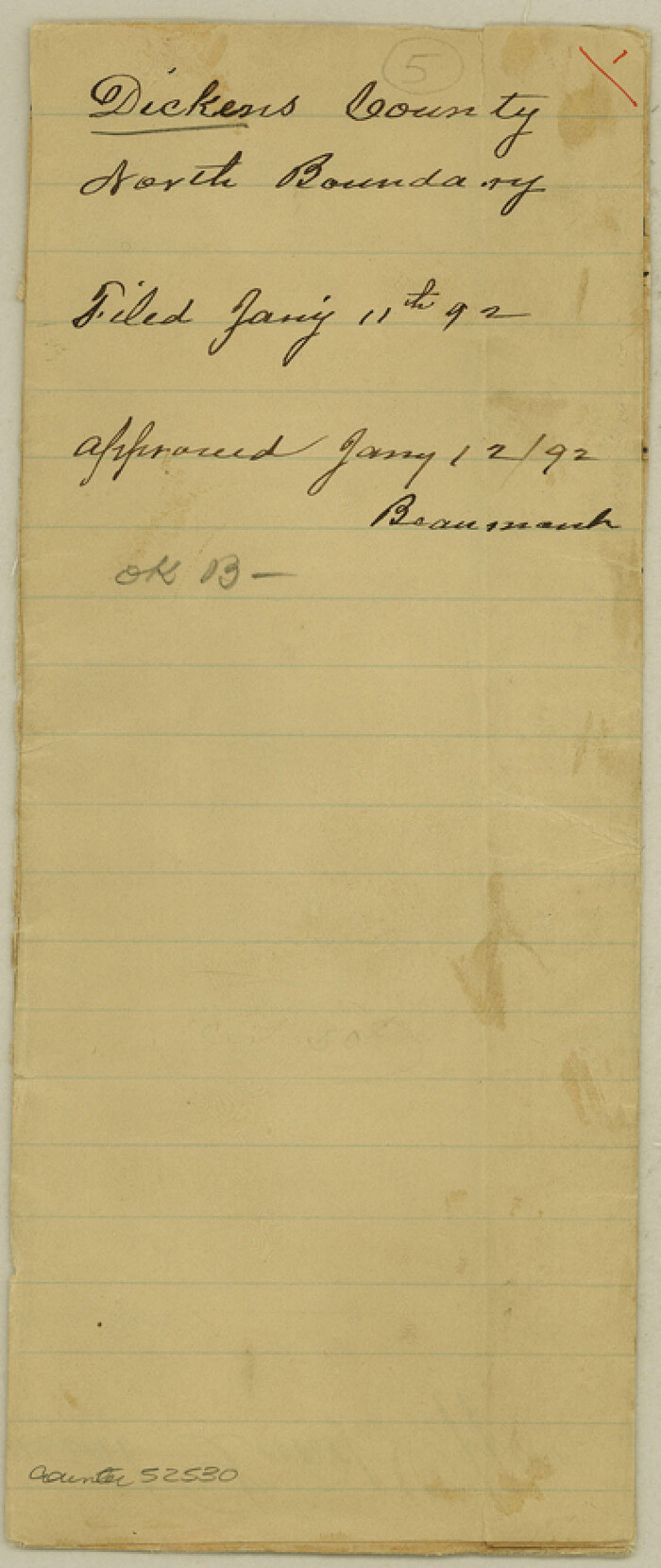
Dickens County Boundary File 1

Print $6.00
- Digital $50.00
Dickens County Boundary File 1
Size: 8.8 x 3.7 inches
52530
Dickens County Boundary File 2


Print $52.00
- Digital $50.00
Dickens County Boundary File 2
Size: 8.9 x 4.2 inches
52533
Dickens County Boundary File 3


Print $28.00
- Digital $50.00
Dickens County Boundary File 3
Size: 14.1 x 8.8 inches
52541
Dickens County Boundary File 4


Print $52.00
- Digital $50.00
Dickens County Boundary File 4
Size: 14.2 x 8.7 inches
52546
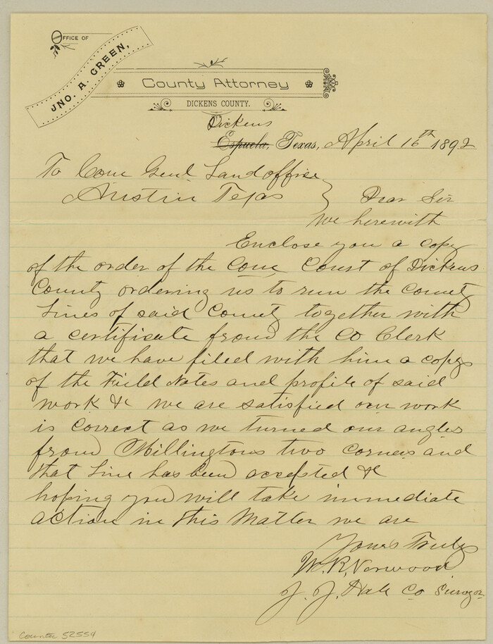
Dickens County Boundary File 5

Print $12.00
- Digital $50.00
Dickens County Boundary File 5
Size: 10.8 x 8.2 inches
52554
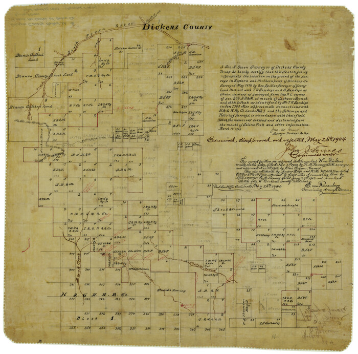
Dickens County Rolled Sketch 1/2

Print $20.00
- Digital $50.00
Dickens County Rolled Sketch 1/2
1903
Size: 23.3 x 22.6 inches
5705
Dickens County Rolled Sketch 10


Print $20.00
- Digital $50.00
Dickens County Rolled Sketch 10
Size: 43.0 x 31.9 inches
8789
Block 1 H&GN RR Co.


Print $20.00
- Digital $50.00
Block 1 H&GN RR Co.
-
Size
39.3 x 40.3 inches
-
Map/Doc
89769
Block I, Dickens County Compiled by W.D. Twichell as directed by Cowan & Burney Upon G.M. Williams' Measurements


Print $20.00
- Digital $50.00
Block I, Dickens County Compiled by W.D. Twichell as directed by Cowan & Burney Upon G.M. Williams' Measurements
1916
-
Size
41.5 x 41.7 inches
-
Map/Doc
89770
-
Creation Date
1916
Blocks 3 and 4 Capitol Syndicate Subdivision of Capitol Leagues 93, 94, 95, 96, 104, 105, 106, 107, 116, 117, 118, 127, 128, 129, 130, 131, 132, 140, 141, 142, and Parts of 75, 83, 84, 85, 86, 108, 143, 144, and 145


Print $20.00
- Digital $50.00
Blocks 3 and 4 Capitol Syndicate Subdivision of Capitol Leagues 93, 94, 95, 96, 104, 105, 106, 107, 116, 117, 118, 127, 128, 129, 130, 131, 132, 140, 141, 142, and Parts of 75, 83, 84, 85, 86, 108, 143, 144, and 145
1906
-
Size
18.1 x 29.2 inches
-
Map/Doc
92582
-
Creation Date
1906
Cottle County Rolled Sketch 11


Print $20.00
- Digital $50.00
Cottle County Rolled Sketch 11
1927
-
Size
31.6 x 24.1 inches
-
Map/Doc
5568
-
Creation Date
1927
Cottle County Rolled Sketch D


Print $20.00
- Digital $50.00
Cottle County Rolled Sketch D
1898
-
Size
29.0 x 20.4 inches
-
Map/Doc
5572
-
Creation Date
1898
Cottle County Sketch File AA1


Print $95.00
- Digital $50.00
Cottle County Sketch File AA1
1895
-
Size
9.4 x 4.2 inches
-
Map/Doc
19398
-
Creation Date
1895
Crosby County Sketch File 19


Print $6.00
- Digital $50.00
Crosby County Sketch File 19
1910
-
Size
8.2 x 8.1 inches
-
Map/Doc
20084
-
Creation Date
1910
Crosby County Sketch File 1b


Print $20.00
- Digital $50.00
Crosby County Sketch File 1b
-
Size
18.0 x 14.5 inches
-
Map/Doc
11244
Crosby County Sketch File 31


Print $20.00
- Digital $50.00
Crosby County Sketch File 31
-
Size
35.0 x 14.0 inches
-
Map/Doc
11257
Crosby County Sketch File A


Print $6.00
- Digital $50.00
Crosby County Sketch File A
-
Size
15.2 x 11.7 inches
-
Map/Doc
19989
Crosby County Working Sketch 14


Print $20.00
- Digital $50.00
Crosby County Working Sketch 14
1976
-
Size
41.6 x 32.3 inches
-
Map/Doc
68448
-
Creation Date
1976
Dickens Co.
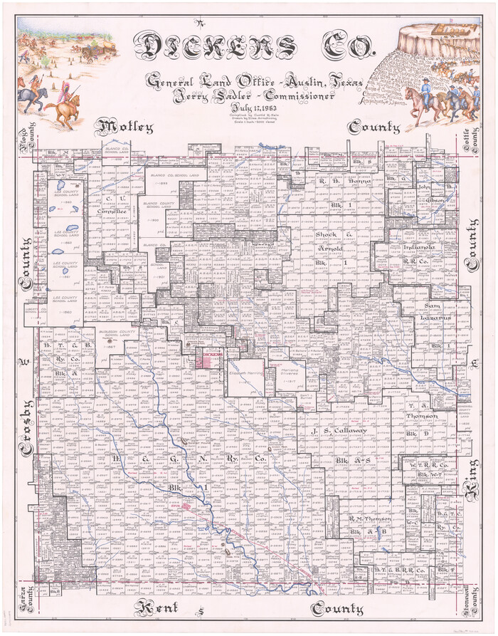

Print $20.00
- Digital $50.00
Dickens Co.
1963
-
Size
42.8 x 34.3 inches
-
Map/Doc
73132
-
Creation Date
1963
Dickens Co.
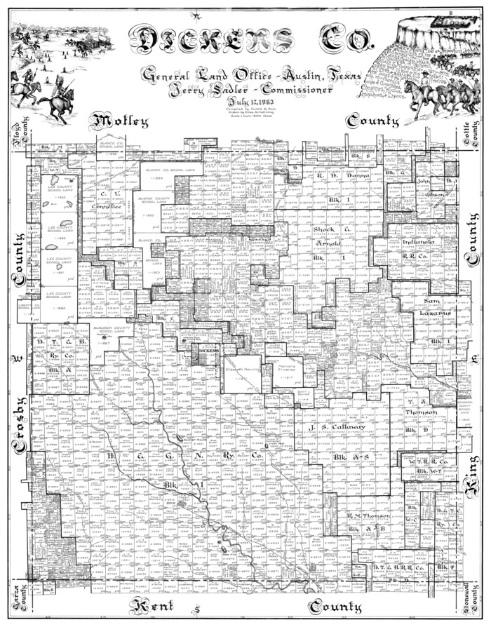

Print $20.00
- Digital $50.00
Dickens Co.
1963
-
Size
42.8 x 33.9 inches
-
Map/Doc
77264
-
Creation Date
1963
Dickens Co.
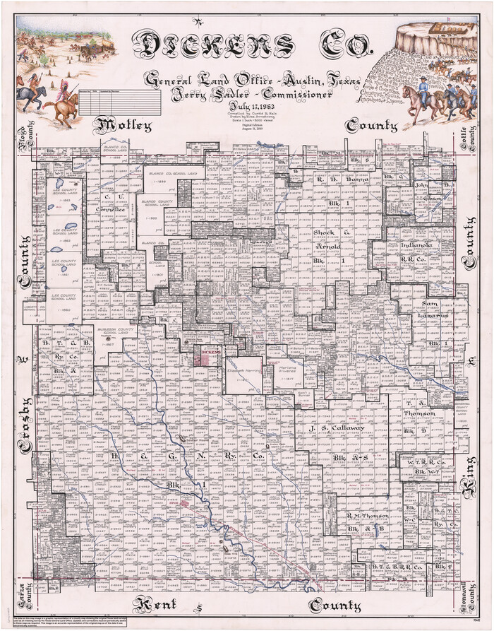

Print $20.00
- Digital $50.00
Dickens Co.
1963
-
Size
43.7 x 34.2 inches
-
Map/Doc
95482
-
Creation Date
1963
Dickens County


Print $20.00
- Digital $50.00
Dickens County
1895
-
Size
22.8 x 18.7 inches
-
Map/Doc
3484
-
Creation Date
1895
Dickens County


Print $20.00
- Digital $50.00
Dickens County
1880
-
Size
20.8 x 19.1 inches
-
Map/Doc
3485
-
Creation Date
1880
Dickens County
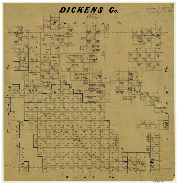

Print $20.00
- Digital $50.00
Dickens County
1877
-
Size
19.1 x 18.4 inches
-
Map/Doc
3486
-
Creation Date
1877
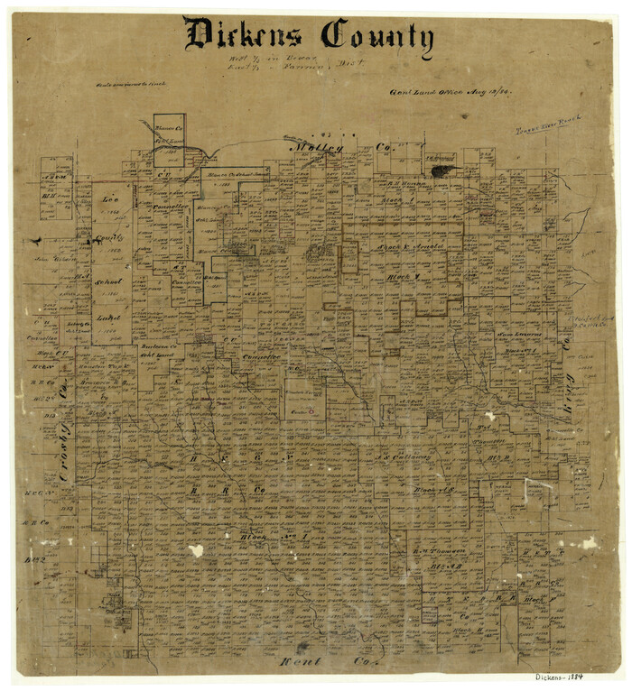
Dickens County

Print $20.00
- Digital $50.00
Dickens County
1884
-
Size
20.9 x 19.3 inches
-
Map/Doc
3487
-
Creation Date
1884
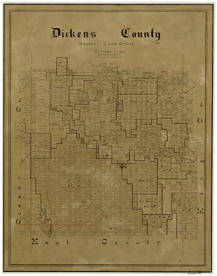
Dickens County

Print $20.00
- Digital $50.00
Dickens County
1891
-
Size
25.7 x 20.6 inches
-
Map/Doc
3488
-
Creation Date
1891
Dickens County


Print $20.00
- Digital $50.00
Dickens County
1891
-
Size
24.5 x 20.2 inches
-
Map/Doc
4533
-
Creation Date
1891
Dickens County


Print $20.00
- Digital $50.00
Dickens County
1915
-
Size
42.4 x 39.3 inches
-
Map/Doc
4722
-
Creation Date
1915
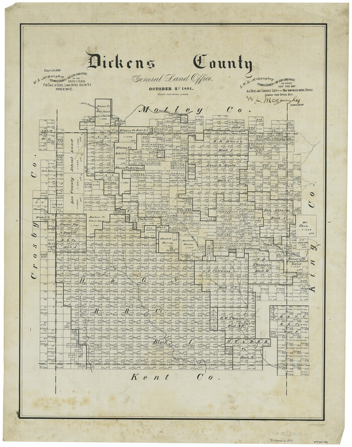
Dickens County

Print $20.00
- Digital $50.00
Dickens County
1891
-
Size
27.7 x 21.9 inches
-
Map/Doc
66804
-
Creation Date
1891
Dickens County


Print $20.00
- Digital $50.00
Dickens County
1915
-
Size
42.2 x 39.0 inches
-
Map/Doc
66805
-
Creation Date
1915
Dickens County Boundary File 1


Print $6.00
- Digital $50.00
Dickens County Boundary File 1
-
Size
8.8 x 3.7 inches
-
Map/Doc
52530
Dickens County Boundary File 2


Print $52.00
- Digital $50.00
Dickens County Boundary File 2
-
Size
8.9 x 4.2 inches
-
Map/Doc
52533
Dickens County Boundary File 3


Print $28.00
- Digital $50.00
Dickens County Boundary File 3
-
Size
14.1 x 8.8 inches
-
Map/Doc
52541
Dickens County Boundary File 4


Print $52.00
- Digital $50.00
Dickens County Boundary File 4
-
Size
14.2 x 8.7 inches
-
Map/Doc
52546
Dickens County Boundary File 5


Print $12.00
- Digital $50.00
Dickens County Boundary File 5
-
Size
10.8 x 8.2 inches
-
Map/Doc
52554
Dickens County Rolled Sketch 1/2


Print $20.00
- Digital $50.00
Dickens County Rolled Sketch 1/2
1903
-
Size
23.3 x 22.6 inches
-
Map/Doc
5705
-
Creation Date
1903
Dickens County Rolled Sketch 10


Print $20.00
- Digital $50.00
Dickens County Rolled Sketch 10
-
Size
43.0 x 31.9 inches
-
Map/Doc
8789