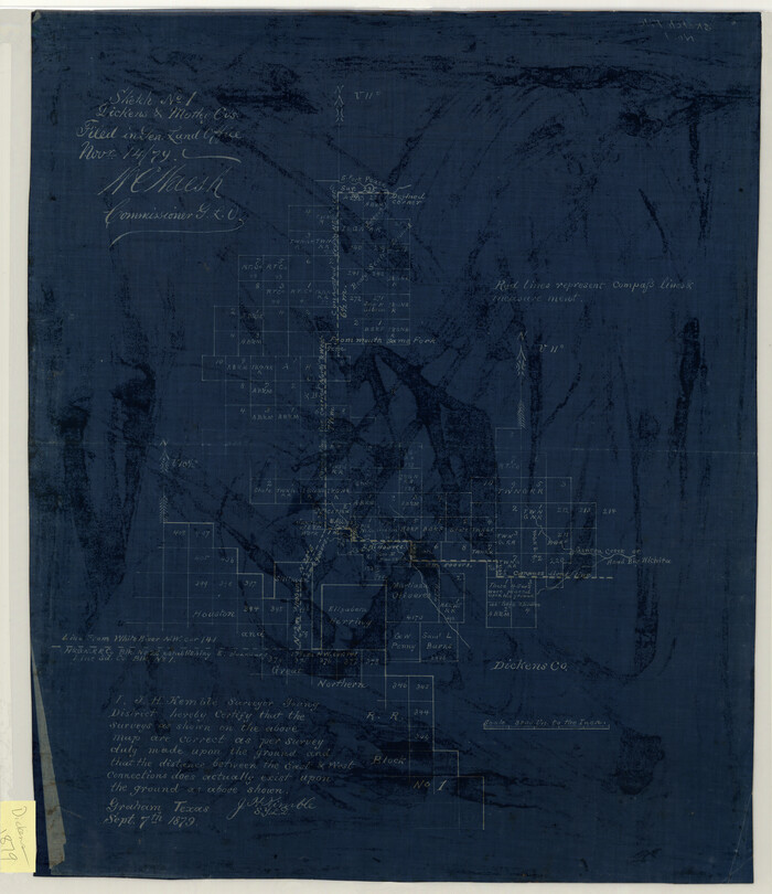
Sketch No. 1, Dickens & Motley Cos.
1879
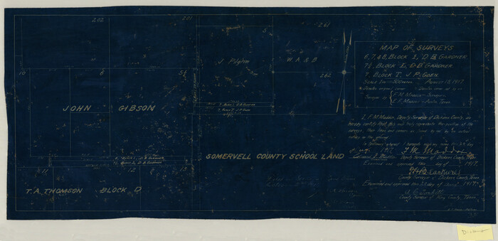
Map of Surveys 6, 7, & 8, Block 1, D.B. Gardner 7 1/2, Block L, D.B. Gardner 7, Block T, J.P. Goen
1917

Map of Survey 8, Block 1, D.B. Gardner
1915
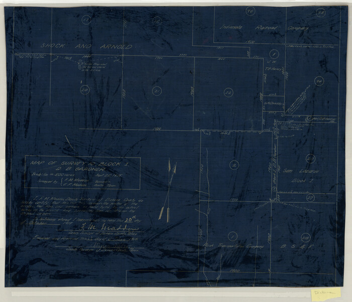
Map of Survey 10, Block 1, D.B. Gardner
1915

Sketch of Survey 3, Block 1 in Dickens and King Counties
1914
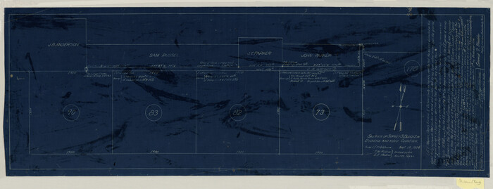
Sketch of Survey 3, Block 1 in Dickens and King Counties
1914

Survey 1, Block 1, D.B. Gardner in Dickens County
1914

Map Showing the position of surveys 1 & 2, B.S. & F. Cert 1/356
1915
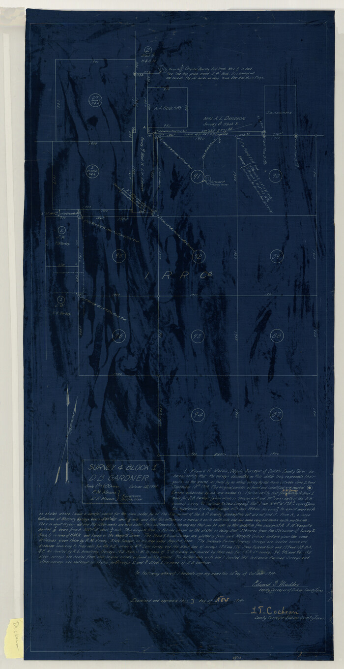
Survey 4, Block 1, D.B. Gardner
1914
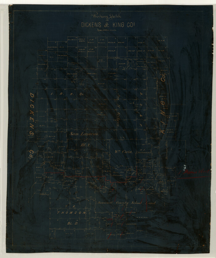
Working Sketch in Dickens & King Cos.
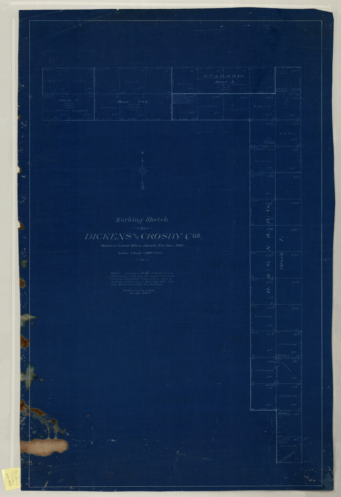
Working Sketch in Dickens and Crosby Cos.
1910
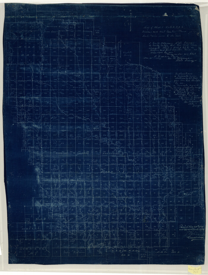
Map of Block 1, H. & G. N. R. R. Co., Dickens and Kent Counties Texas
1908
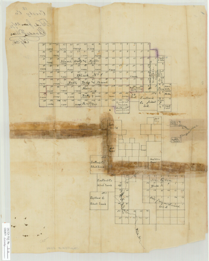
Crosby County Sketch File 1b
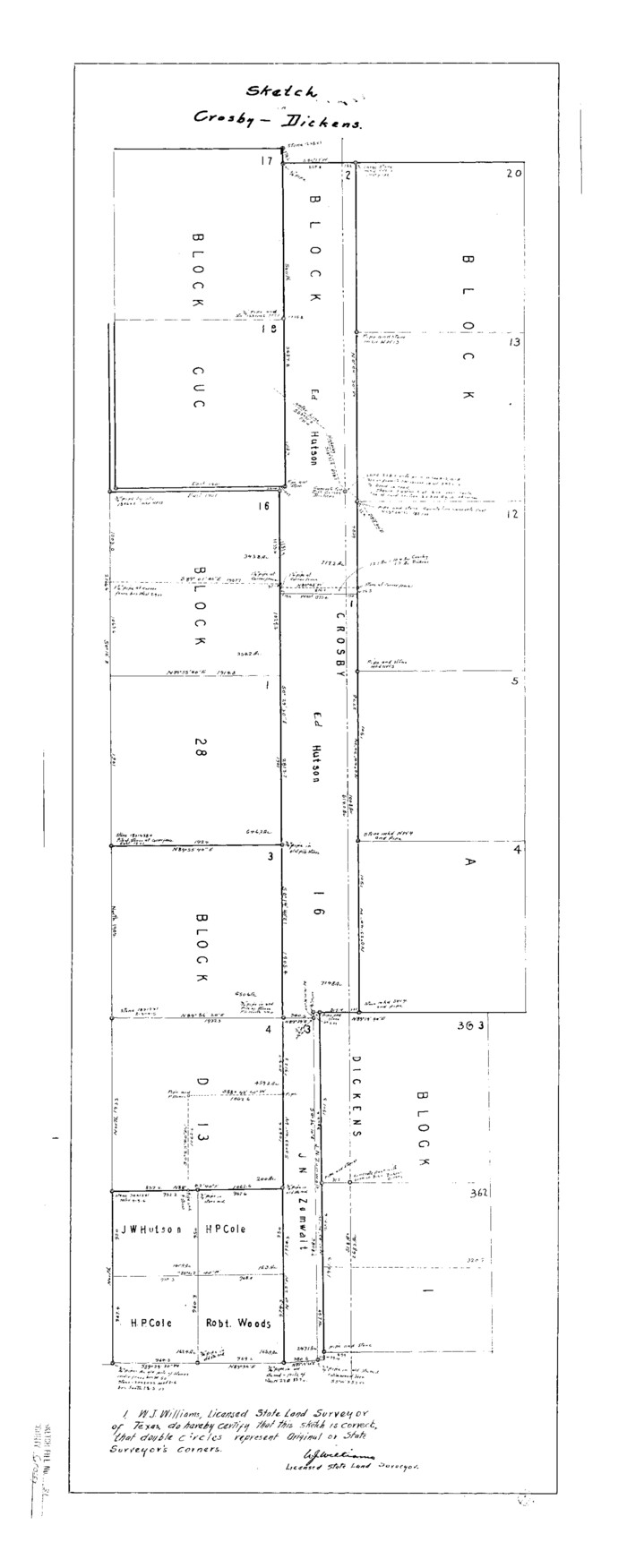
Crosby County Sketch File 31

Dickens County Sketch File 1
1879
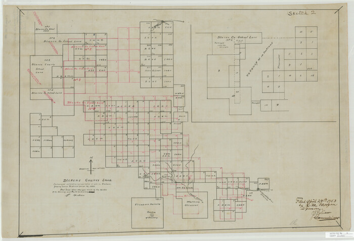
Dickens County Sketch File 2
1913
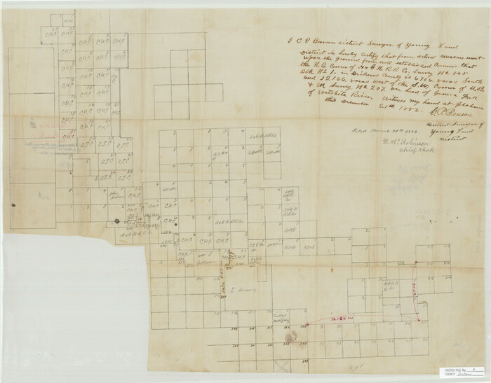
Dickens County Sketch File 4

Dickens County Sketch File 9

Dickens County Sketch File 14

Dickens County Sketch File 14a

Dickens County Sketch File 18a

Dickens County Sketch File 18aa
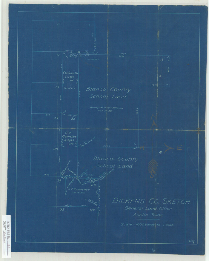
Dickens County Sketch File 21
1911
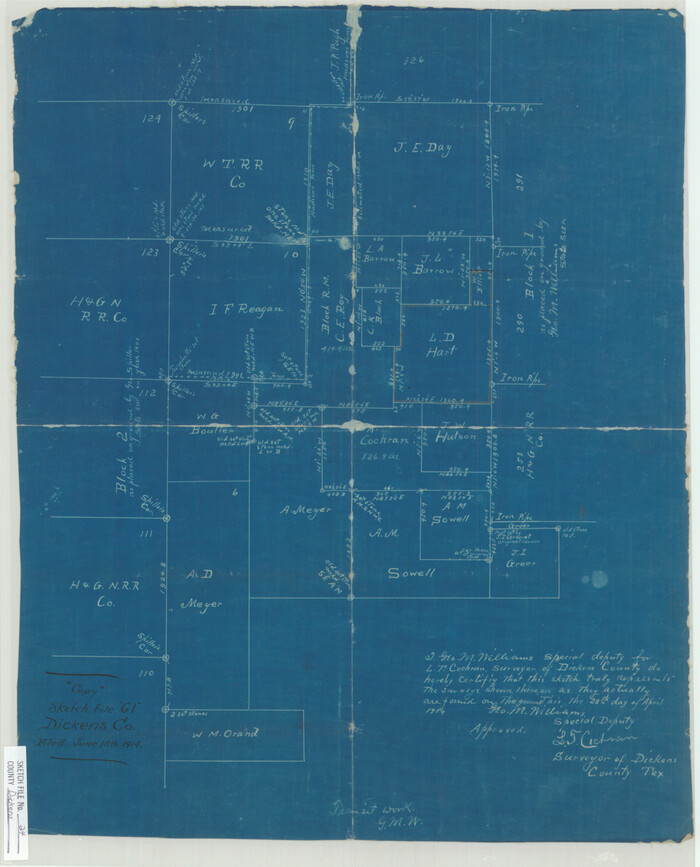
Dickens County Sketch File 24
1914
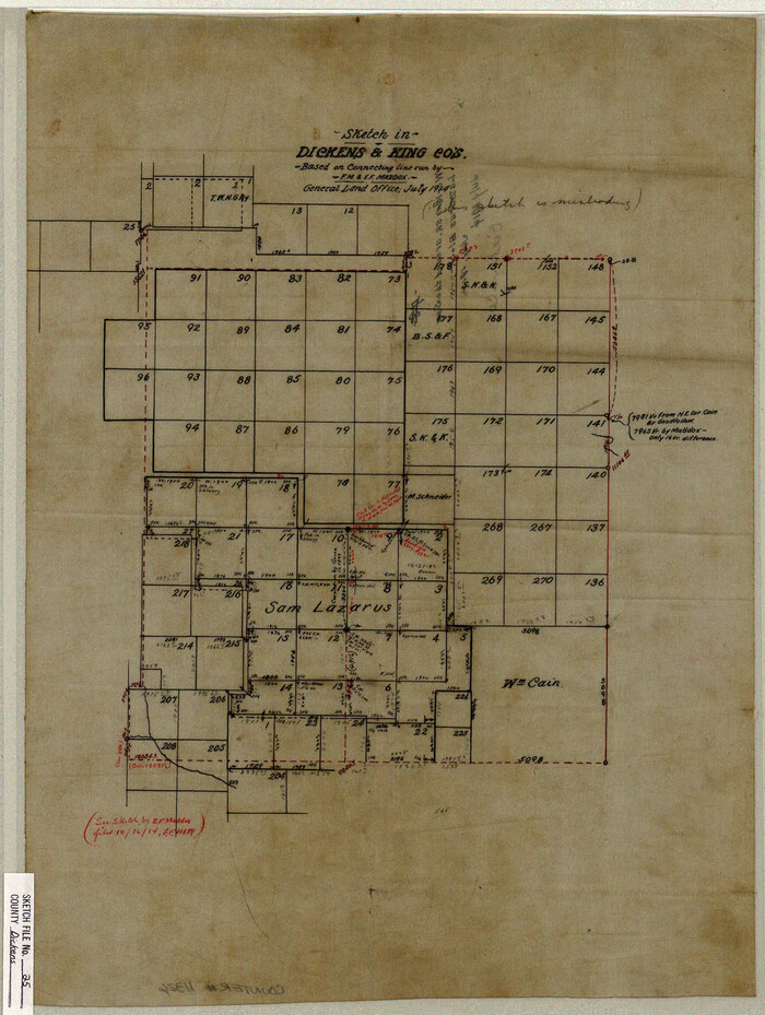
Dickens County Sketch File 25
1914
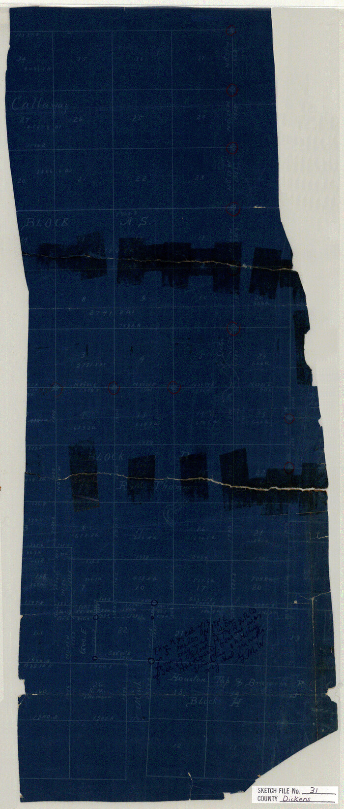
Dickens County Sketch File 31
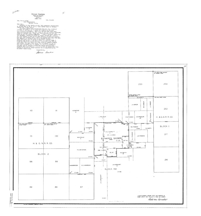
Dickens County Sketch File 32
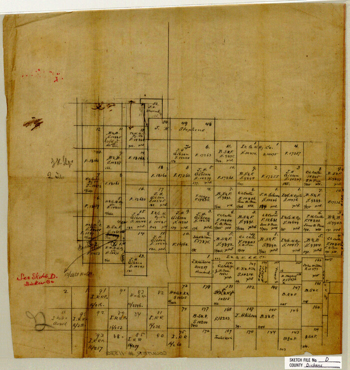
Dickens County Sketch File D
1883
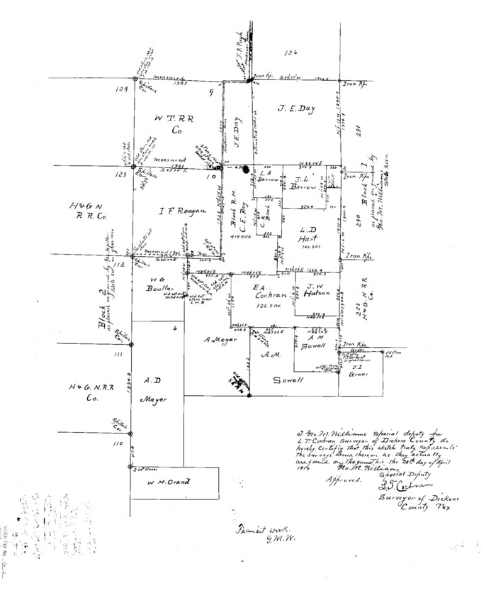
Dickens County Sketch File G1
1914
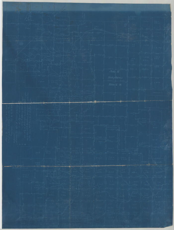
Dickens County Sketch File GW1
1911

Sketch No. 1, Dickens & Motley Cos.
1879
-
Size
17.9 x 15.5 inches
-
Map/Doc
10761
-
Creation Date
1879

Map of Surveys 6, 7, & 8, Block 1, D.B. Gardner 7 1/2, Block L, D.B. Gardner 7, Block T, J.P. Goen
1917
-
Size
11.0 x 22.6 inches
-
Map/Doc
10762
-
Creation Date
1917

Map of Survey 8, Block 1, D.B. Gardner
1915
-
Size
13.0 x 18.8 inches
-
Map/Doc
10763
-
Creation Date
1915

Map of Survey 10, Block 1, D.B. Gardner
1915
-
Size
16.1 x 18.7 inches
-
Map/Doc
10764
-
Creation Date
1915

Sketch of Survey 3, Block 1 in Dickens and King Counties
1914
-
Size
10.0 x 27.5 inches
-
Map/Doc
10765
-
Creation Date
1914

Sketch of Survey 3, Block 1 in Dickens and King Counties
1914
-
Size
10.8 x 28.2 inches
-
Map/Doc
10766
-
Creation Date
1914

Survey 1, Block 1, D.B. Gardner in Dickens County
1914
-
Size
14.9 x 30.4 inches
-
Map/Doc
10767
-
Creation Date
1914

Map Showing the position of surveys 1 & 2, B.S. & F. Cert 1/356
1915
-
Size
22.0 x 11.1 inches
-
Map/Doc
10768
-
Creation Date
1915

Survey 4, Block 1, D.B. Gardner
1914
-
Size
26.6 x 13.7 inches
-
Map/Doc
10769
-
Creation Date
1914

Working Sketch in Dickens & King Cos.
-
Size
24.4 x 20.4 inches
-
Map/Doc
10770

Working Sketch in Dickens and Crosby Cos.
1910
-
Size
36.1 x 24.8 inches
-
Map/Doc
10771
-
Creation Date
1910

Map of Block 1, H. & G. N. R. R. Co., Dickens and Kent Counties Texas
1908
-
Size
32.0 x 24.2 inches
-
Map/Doc
10780
-
Creation Date
1908

Crosby County Sketch File 1b
-
Size
18.0 x 14.5 inches
-
Map/Doc
11244

Crosby County Sketch File 31
-
Size
35.0 x 14.0 inches
-
Map/Doc
11257

Dickens County Sketch File 1
1879
-
Size
18.2 x 15.5 inches
-
Map/Doc
11315
-
Creation Date
1879

Dickens County Sketch File 2
1913
-
Size
22.0 x 32.3 inches
-
Map/Doc
11316
-
Creation Date
1913

Dickens County Sketch File 4
-
Size
21.2 x 27.1 inches
-
Map/Doc
11317

Dickens County Sketch File 9
-
Size
21.6 x 20.9 inches
-
Map/Doc
11319

Dickens County Sketch File 14
-
Size
19.6 x 16.6 inches
-
Map/Doc
11320

Dickens County Sketch File 14a
-
Size
18.2 x 16.5 inches
-
Map/Doc
11321

Dickens County Sketch File 18a
-
Size
17.6 x 19.4 inches
-
Map/Doc
11322

Dickens County Sketch File 18aa
-
Size
17.2 x 18.2 inches
-
Map/Doc
11323

Dickens County Sketch File 21
1911
-
Size
16.0 x 12.8 inches
-
Map/Doc
11324
-
Creation Date
1911

Dickens County Sketch File 24
1914
-
Size
20.0 x 16.1 inches
-
Map/Doc
11325
-
Creation Date
1914

Dickens County Sketch File 25
1914
-
Size
19.2 x 14.4 inches
-
Map/Doc
11326
-
Creation Date
1914

Dickens County Sketch File 31
-
Size
22.3 x 9.5 inches
-
Map/Doc
11327

Dickens County Sketch File 32
-
Size
32.8 x 30.6 inches
-
Map/Doc
11328

Dickens County Sketch File D
1883
-
Size
15.7 x 14.8 inches
-
Map/Doc
11330
-
Creation Date
1883

Dickens County Sketch File G1
1914
-
Size
22.0 x 18.0 inches
-
Map/Doc
11332
-
Creation Date
1914

Dickens County Sketch File GW1
1911
-
Size
31.5 x 24.4 inches
-
Map/Doc
11334
-
Creation Date
1911