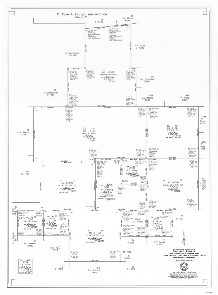
Eastland County Working Sketch 66
2014

Eastland County Working Sketch 63
1997
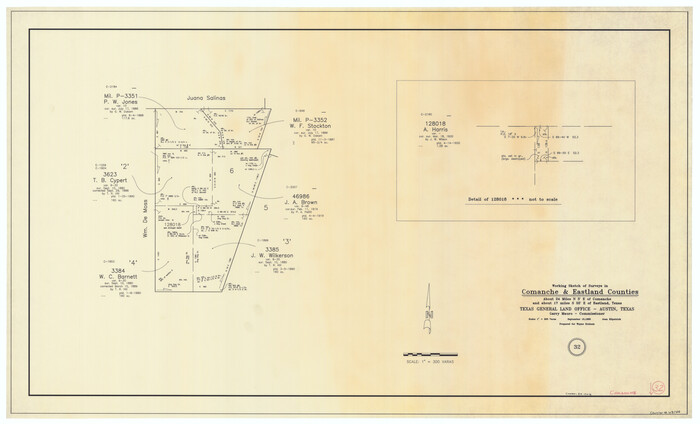
Comanche County Working Sketch 32
1992

Palo Pinto County Working Sketch 25
1991
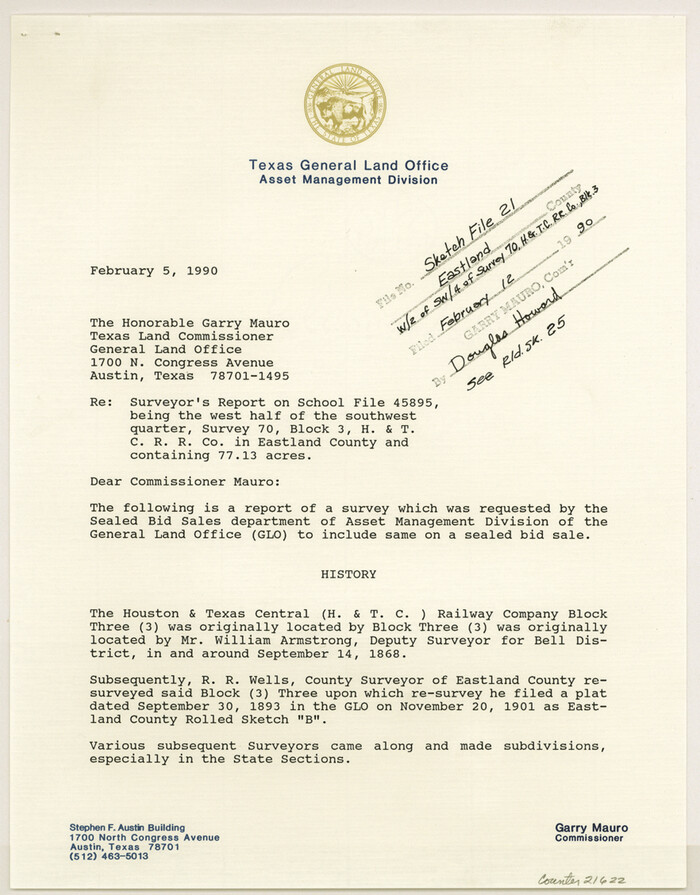
Eastland County Sketch File 21
1990

Eastland County Rolled Sketch 25
1990
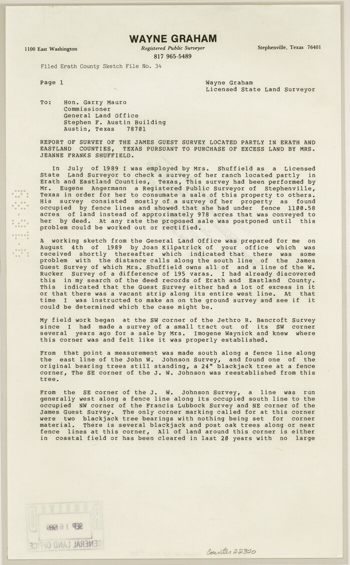
Erath County Sketch File 34
1989

Eastland County Working Sketch 62
1989

Eastland County Working Sketch 61
1989
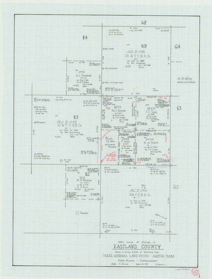
Eastland County Working Sketch 60
1989
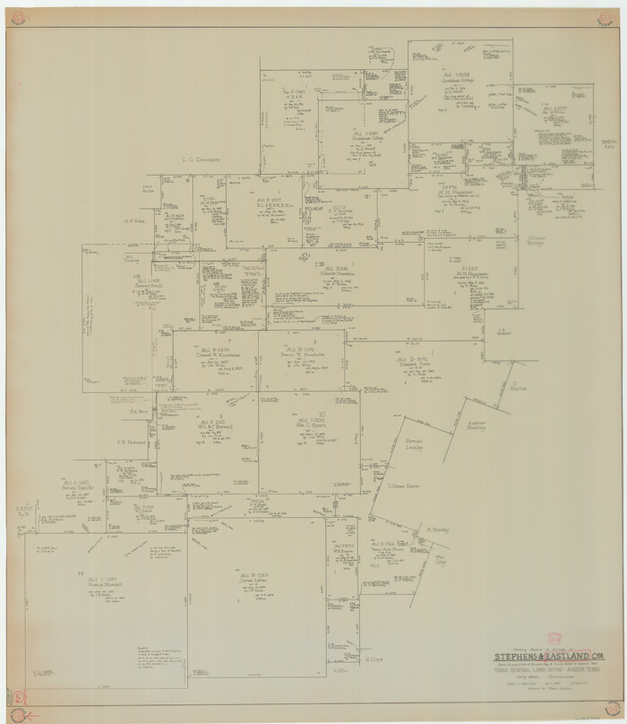
Eastland County Working Sketch 60a
1988
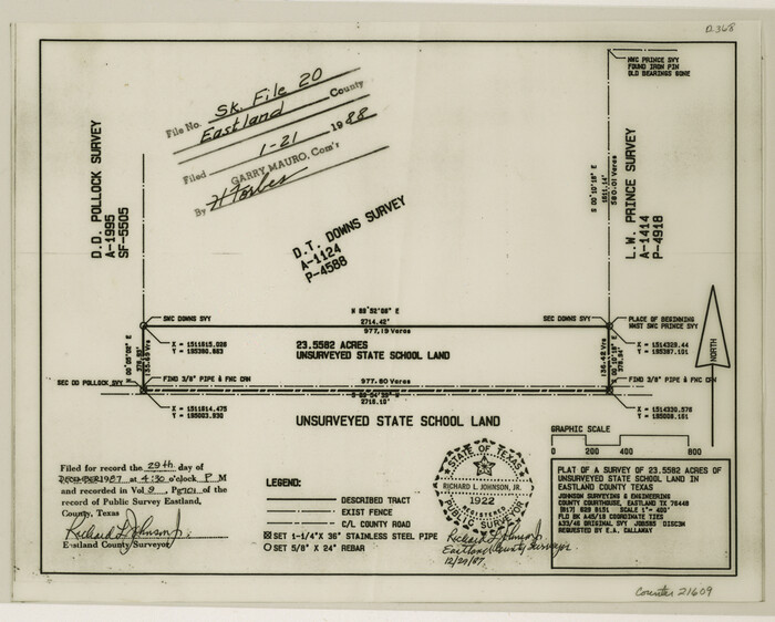
Eastland County Sketch File 20
1987

Eastland County Working Sketch 59
1987
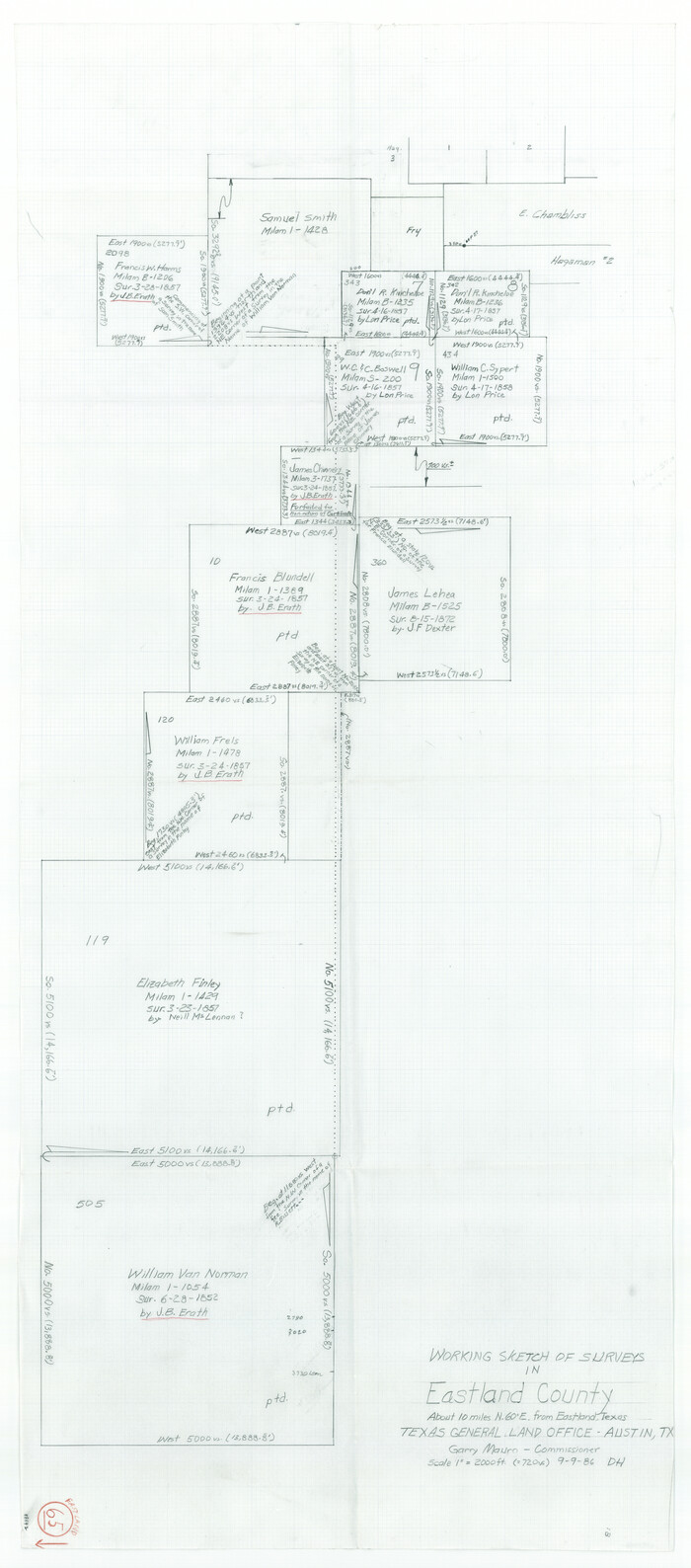
Eastland County Working Sketch 65
1986

Eastland County Working Sketch 58
1985

Eastland County Working Sketch 57
1985
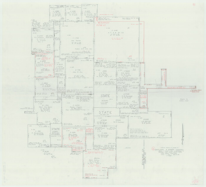
Eastland County Working Sketch 56
1984
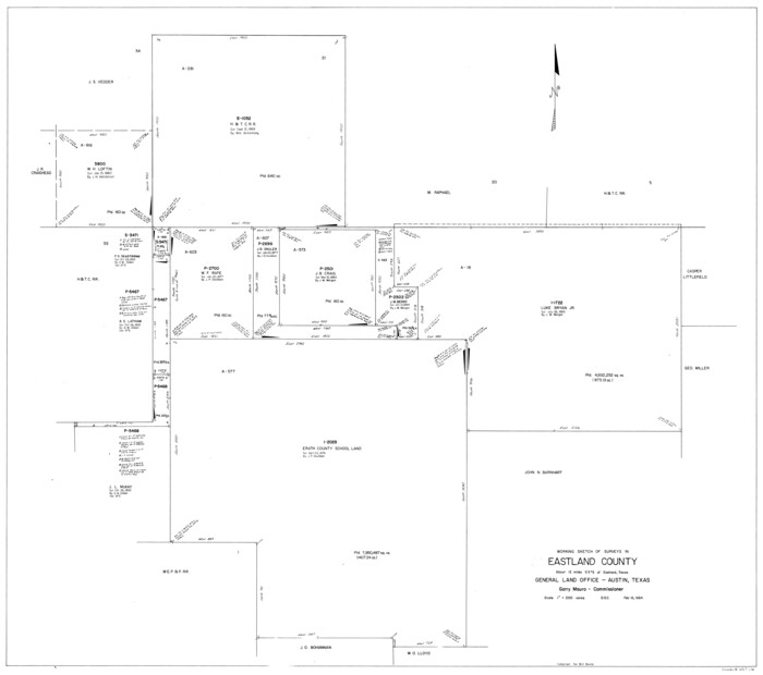
Eastland County Working Sketch 55
1984

Eastland County Working Sketch 54
1984
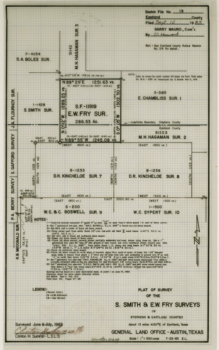
Eastland County Sketch File 19
1983

Eastland County Rolled Sketch 24
1983
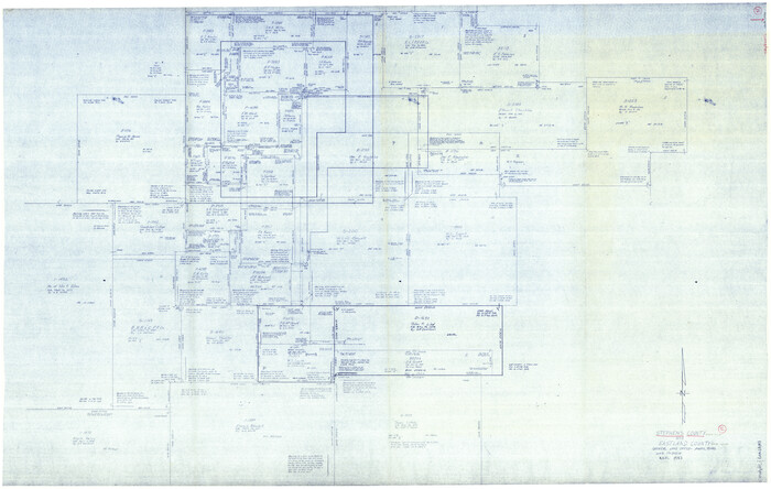
Stephens County Working Sketch 37
1983

Eastland County Working Sketch 64
1983
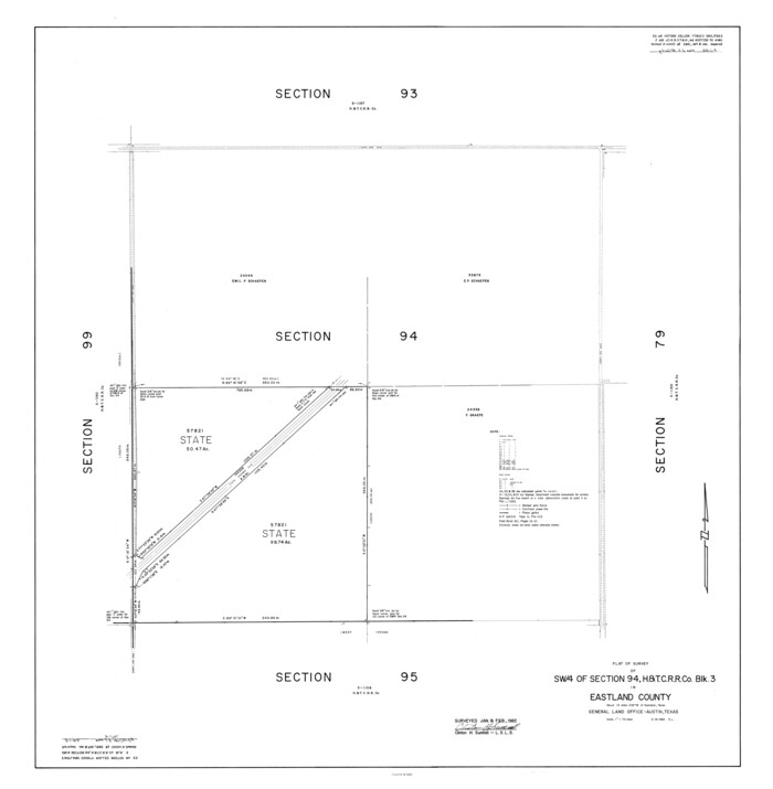
Eastland County Rolled Sketch 23
1982
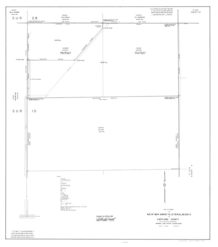
Eastland County Rolled Sketch 20
1982

Eastland County Rolled Sketch 21
1982

Eastland County Working Sketch 53
1982
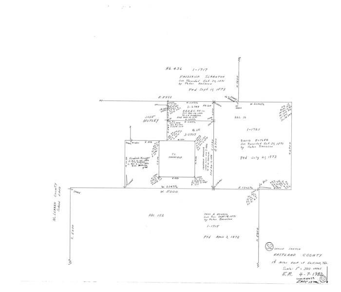
Eastland County Working Sketch 52
1982
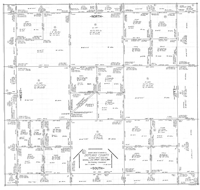
Eastland County Working Sketch 51
1982

Eastland County Working Sketch 50
1981

Eastland County Working Sketch 66
2014
-
Size
27.2 x 20.1 inches
-
Map/Doc
93708
-
Creation Date
2014

Eastland County Working Sketch 63
1997
-
Size
36.7 x 37.6 inches
-
Map/Doc
68844
-
Creation Date
1997

Comanche County Working Sketch 32
1992
-
Size
23.5 x 38.8 inches
-
Map/Doc
68166
-
Creation Date
1992

Palo Pinto County Working Sketch 25
1991
-
Map/Doc
71408
-
Creation Date
1991

Eastland County Sketch File 21
1990
-
Size
11.3 x 8.8 inches
-
Map/Doc
21622
-
Creation Date
1990

Eastland County Rolled Sketch 25
1990
-
Size
36.9 x 47.7 inches
-
Map/Doc
8831
-
Creation Date
1990

Erath County Sketch File 34
1989
-
Size
14.3 x 8.9 inches
-
Map/Doc
22320
-
Creation Date
1989

Eastland County Working Sketch 62
1989
-
Size
20.7 x 28.0 inches
-
Map/Doc
68843
-
Creation Date
1989

Eastland County Working Sketch 61
1989
-
Size
35.4 x 41.0 inches
-
Map/Doc
68842
-
Creation Date
1989

Eastland County Working Sketch 60
1989
-
Size
25.5 x 19.5 inches
-
Map/Doc
68841
-
Creation Date
1989

Eastland County Working Sketch 60a
1988
-
Size
45.1 x 39.0 inches
-
Map/Doc
78209
-
Creation Date
1988

Eastland County Sketch File 20
1987
-
Size
9.1 x 11.3 inches
-
Map/Doc
21609
-
Creation Date
1987

Eastland County Working Sketch 59
1987
-
Size
19.7 x 37.9 inches
-
Map/Doc
68840
-
Creation Date
1987

Eastland County Working Sketch 65
1986
-
Size
37.4 x 16.5 inches
-
Map/Doc
88892
-
Creation Date
1986

Eastland County Working Sketch 58
1985
-
Size
25.5 x 39.6 inches
-
Map/Doc
68839
-
Creation Date
1985

Eastland County Working Sketch 57
1985
-
Size
21.7 x 21.8 inches
-
Map/Doc
68838
-
Creation Date
1985

Eastland County Working Sketch 56
1984
-
Size
39.2 x 43.3 inches
-
Map/Doc
68837
-
Creation Date
1984

Eastland County Working Sketch 55
1984
-
Size
33.5 x 37.8 inches
-
Map/Doc
68836
-
Creation Date
1984

Eastland County Working Sketch 54
1984
-
Size
19.6 x 18.0 inches
-
Map/Doc
68835
-
Creation Date
1984

Eastland County Sketch File 19
1983
-
Size
14.3 x 9.0 inches
-
Map/Doc
21608
-
Creation Date
1983

Eastland County Rolled Sketch 24
1983
-
Size
33.5 x 38.0 inches
-
Map/Doc
8830
-
Creation Date
1983

Stephens County Working Sketch 37
1983
-
Size
42.9 x 67.7 inches
-
Map/Doc
63980
-
Creation Date
1983

Eastland County Working Sketch 64
1983
-
Size
43.3 x 68.4 inches
-
Map/Doc
88891
-
Creation Date
1983

Eastland County Rolled Sketch 23
1982
-
Size
44.3 x 43.3 inches
-
Map/Doc
8829
-
Creation Date
1982

Eastland County Rolled Sketch 20
1982
-
Size
43.5 x 38.4 inches
-
Map/Doc
8826
-
Creation Date
1982

Eastland County Rolled Sketch 21
1982
-
Size
40.2 x 44.5 inches
-
Map/Doc
8827
-
Creation Date
1982

Eastland County Working Sketch 53
1982
-
Size
22.9 x 27.4 inches
-
Map/Doc
68834
-
Creation Date
1982

Eastland County Working Sketch 52
1982
-
Size
25.7 x 30.0 inches
-
Map/Doc
68833
-
Creation Date
1982

Eastland County Working Sketch 51
1982
-
Size
37.7 x 39.6 inches
-
Map/Doc
68832
-
Creation Date
1982

Eastland County Working Sketch 50
1981
-
Size
38.7 x 39.6 inches
-
Map/Doc
68831
-
Creation Date
1981