
Erath County Sketch File 35
1992
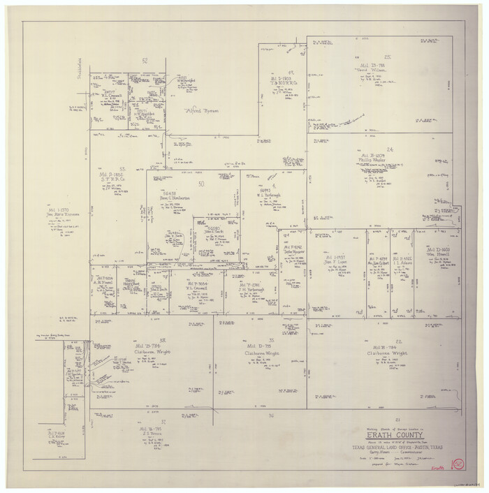
Erath County Working Sketch 52
1992

Somervell County Working Sketch 6
1992
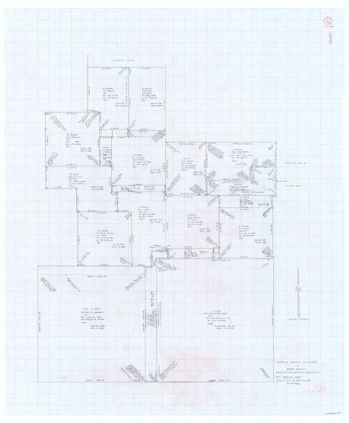
Erath County Working Sketch 49
1990
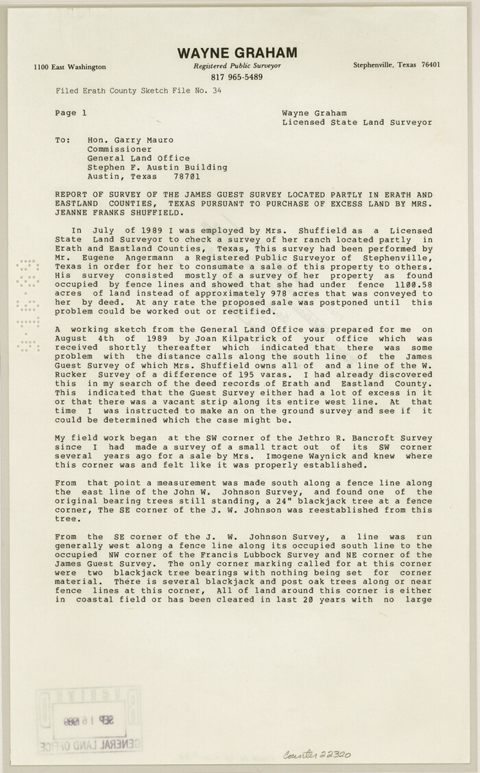
Erath County Sketch File 34
1989
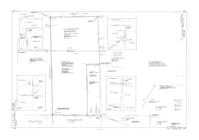
Hamilton County Rolled Sketch 14
1989

Eastland County Working Sketch 62
1989
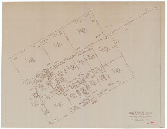
Erath County Working Sketch 48
1989
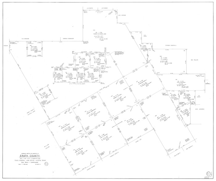
Erath County Working Sketch 51
1986
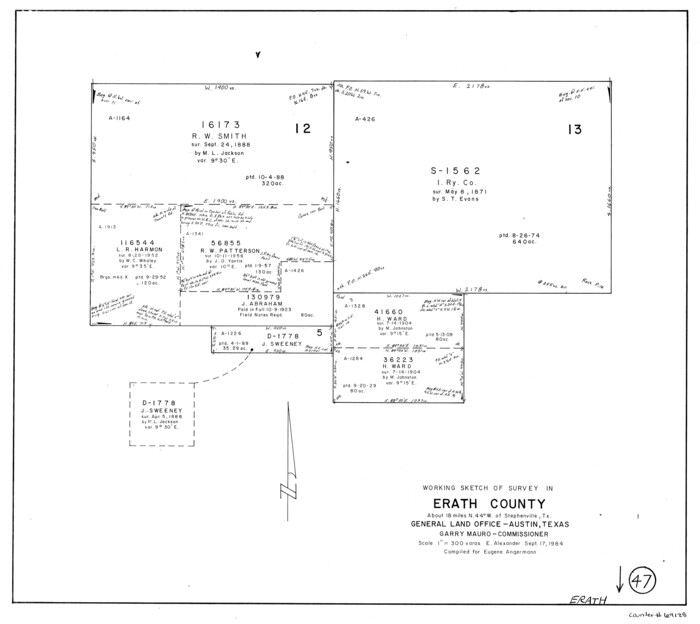
Erath County Working Sketch 47
1984
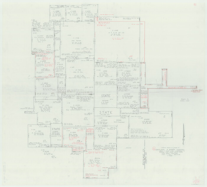
Eastland County Working Sketch 56
1984
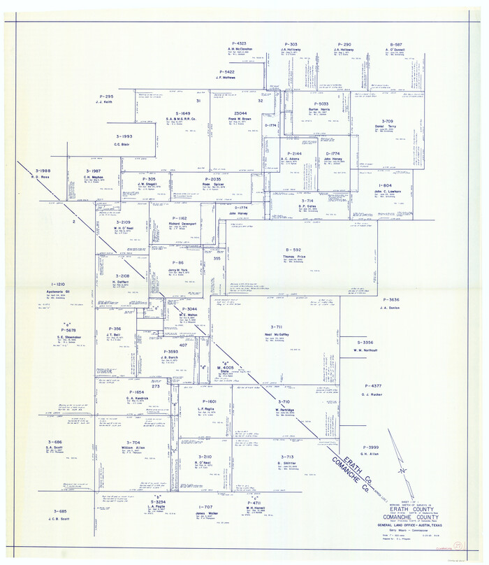
Comanche County Working Sketch 27
1983

Erath County Working Sketch 46
1983

Erath County Rolled Sketch 3
1982
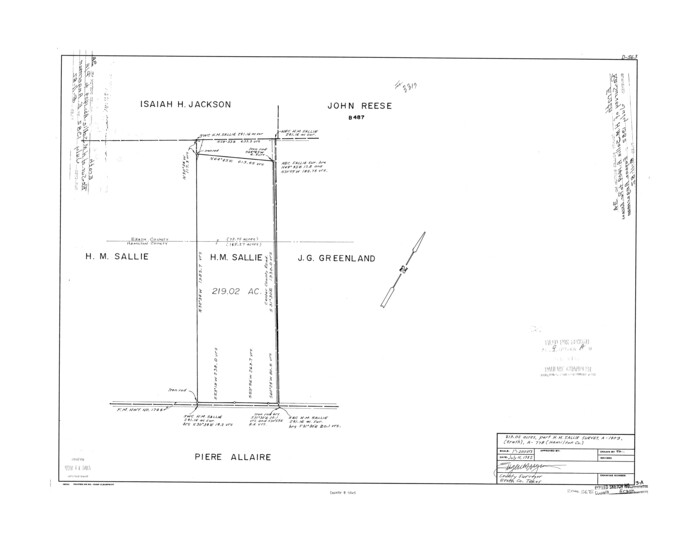
Erath County Rolled Sketch 3A
1982
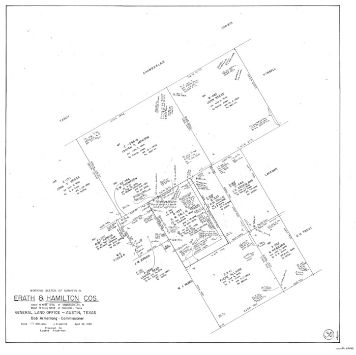
Hamilton County Working Sketch 30
1982

Erath County Working Sketch 45
1982
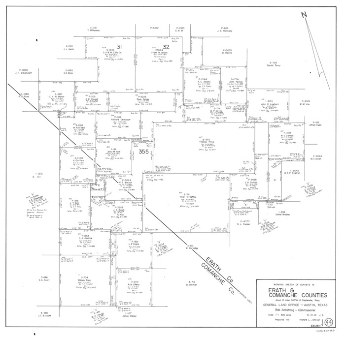
Erath County Working Sketch 44
1981

Erath County Working Sketch 42
1981

Erath County Working Sketch 43
1981

Erath County Working Sketch 40
1977

Erath County Working Sketch 39
1976
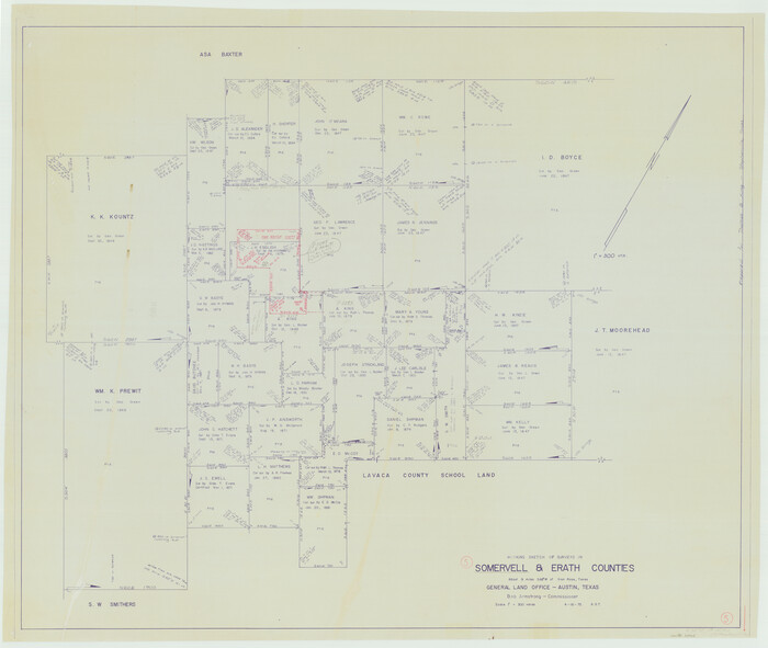
Somervell County Working Sketch 5
1975

Erath County Working Sketch 38
1974
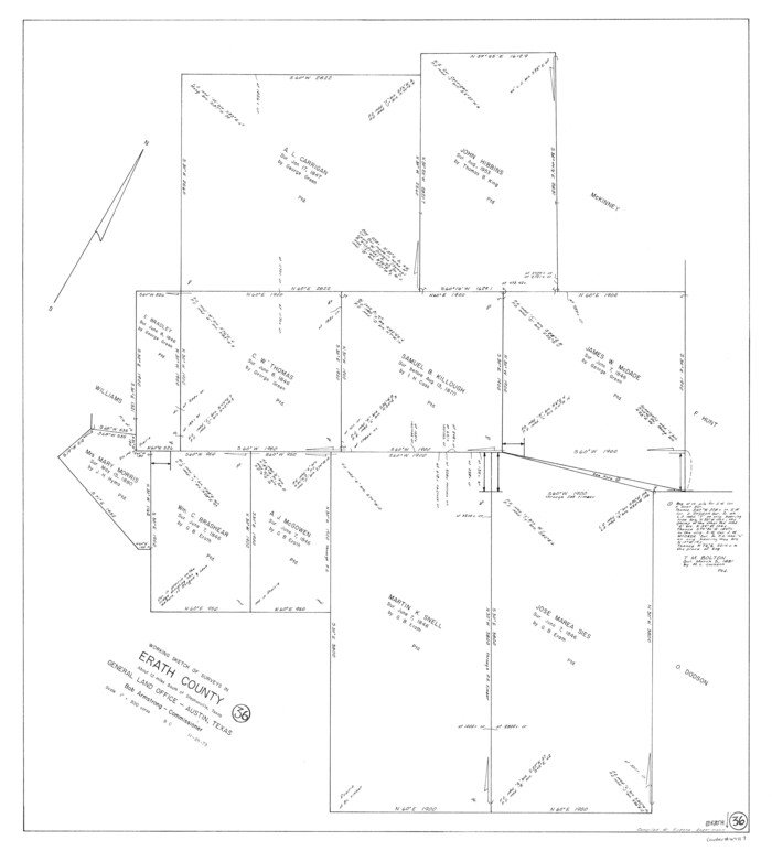
Erath County Working Sketch 36
1973
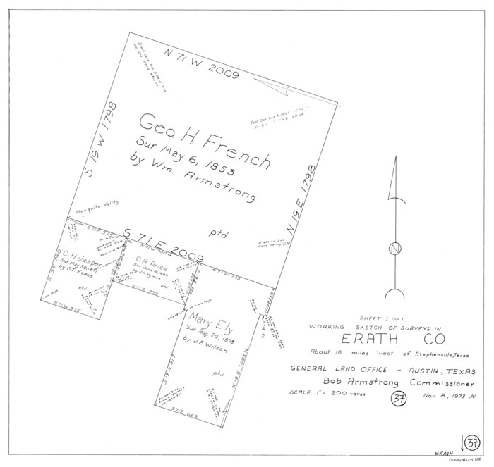
Erath County Working Sketch 37
1973

Erath County Working Sketch 35
1973

Erath County Working Sketch 33
1972

Hood County Working Sketch 9
1972
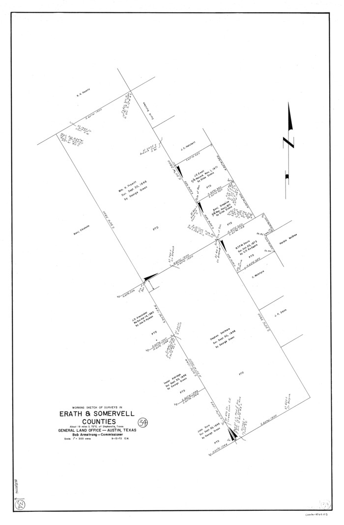
Erath County Working Sketch 34
1972

Erath County Sketch File 35
1992
-
Size
14.5 x 8.8 inches
-
Map/Doc
22326
-
Creation Date
1992

Erath County Working Sketch 52
1992
-
Size
33.9 x 33.6 inches
-
Map/Doc
69134
-
Creation Date
1992

Somervell County Working Sketch 6
1992
-
Size
23.2 x 21.5 inches
-
Map/Doc
63910
-
Creation Date
1992

Erath County Working Sketch 49
1990
-
Size
37.4 x 30.8 inches
-
Map/Doc
69130
-
Creation Date
1990

Erath County Sketch File 34
1989
-
Size
14.3 x 8.9 inches
-
Map/Doc
22320
-
Creation Date
1989

Hamilton County Rolled Sketch 14
1989
-
Size
28.0 x 40.0 inches
-
Map/Doc
6063
-
Creation Date
1989

Eastland County Working Sketch 62
1989
-
Size
20.7 x 28.0 inches
-
Map/Doc
68843
-
Creation Date
1989

Erath County Working Sketch 48
1989
-
Size
36.5 x 47.6 inches
-
Map/Doc
69129
-
Creation Date
1989

Erath County Working Sketch 51
1986
-
Size
38.3 x 45.6 inches
-
Map/Doc
69133
-
Creation Date
1986

Erath County Working Sketch 47
1984
-
Size
16.3 x 18.3 inches
-
Map/Doc
69128
-
Creation Date
1984

Eastland County Working Sketch 56
1984
-
Size
39.2 x 43.3 inches
-
Map/Doc
68837
-
Creation Date
1984

Comanche County Working Sketch 27
1983
-
Size
50.2 x 43.5 inches
-
Map/Doc
68161
-
Creation Date
1983

Erath County Working Sketch 46
1983
-
Size
49.6 x 43.1 inches
-
Map/Doc
69127
-
Creation Date
1983

Erath County Rolled Sketch 3
1982
-
Size
22.6 x 27.9 inches
-
Map/Doc
5864
-
Creation Date
1982

Erath County Rolled Sketch 3A
1982
-
Size
21.7 x 27.8 inches
-
Map/Doc
5865
-
Creation Date
1982

Hamilton County Working Sketch 30
1982
-
Size
24.7 x 24.7 inches
-
Map/Doc
63368
-
Creation Date
1982

Erath County Working Sketch 45
1982
-
Size
25.5 x 24.8 inches
-
Map/Doc
69126
-
Creation Date
1982

Erath County Working Sketch 44
1981
-
Size
29.7 x 30.4 inches
-
Map/Doc
69125
-
Creation Date
1981

Erath County Working Sketch 42
1981
-
Size
23.0 x 23.6 inches
-
Map/Doc
69123
-
Creation Date
1981

Erath County Working Sketch 43
1981
-
Size
19.6 x 15.7 inches
-
Map/Doc
69124
-
Creation Date
1981

Erath County Working Sketch 40
1977
-
Size
26.2 x 14.9 inches
-
Map/Doc
69121
-
Creation Date
1977

Erath County Working Sketch 39
1976
-
Size
26.9 x 28.0 inches
-
Map/Doc
69120
-
Creation Date
1976

Somervell County Working Sketch 5
1975
-
Size
33.3 x 39.4 inches
-
Map/Doc
63909
-
Creation Date
1975

Erath County Working Sketch 38
1974
-
Size
22.1 x 31.7 inches
-
Map/Doc
69119
-
Creation Date
1974

Erath County Working Sketch 36
1973
-
Size
33.5 x 30.4 inches
-
Map/Doc
69117
-
Creation Date
1973

Erath County Working Sketch 37
1973
-
Size
21.4 x 22.6 inches
-
Map/Doc
69118
-
Creation Date
1973

Erath County Working Sketch 35
1973
-
Size
24.8 x 28.4 inches
-
Map/Doc
69116
-
Creation Date
1973

Erath County Working Sketch 33
1972
-
Size
25.1 x 21.0 inches
-
Map/Doc
69114
-
Creation Date
1972

Hood County Working Sketch 9
1972
-
Size
28.0 x 31.7 inches
-
Map/Doc
66203
-
Creation Date
1972

Erath County Working Sketch 34
1972
-
Size
38.7 x 25.3 inches
-
Map/Doc
69115
-
Creation Date
1972