
Comanche County Sketch File 1
1847
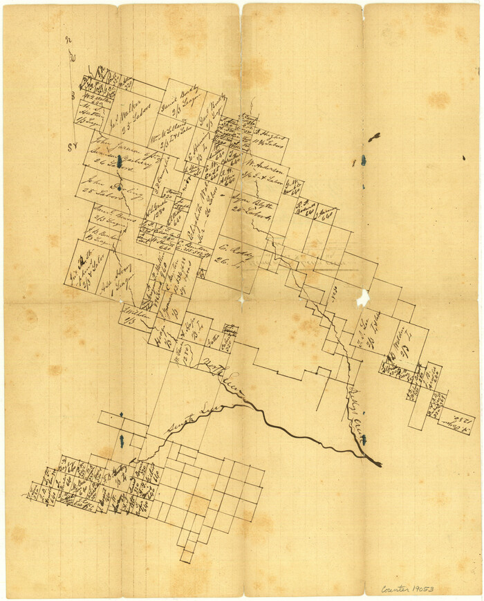
Comanche County Sketch File 2
1849
Comanche County Sketch File 20
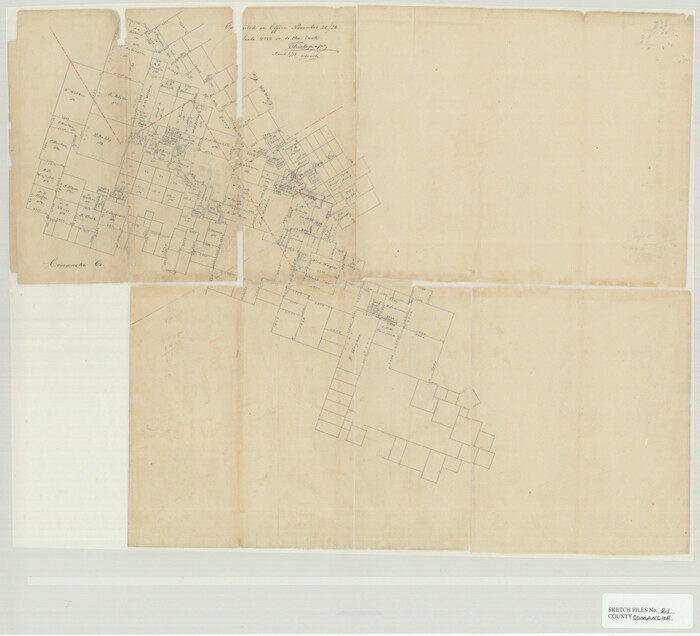
Comanche County Sketch File 21

Comanche County Sketch File 23
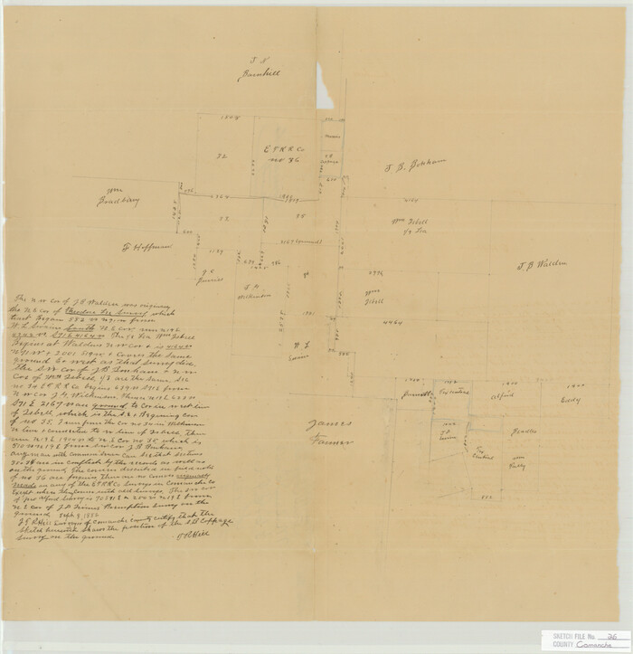
Comanche County Sketch File 26
Comanche County Sketch File 27
1912
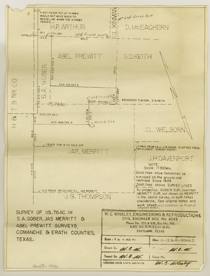
Comanche County Sketch File 29
1954
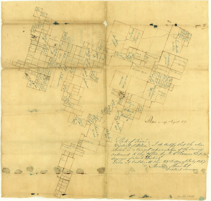
Comanche County Sketch File 3
1847

Comanche County Working Sketch 10
1954
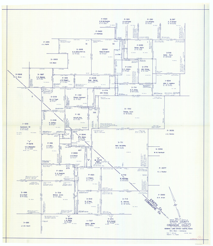
Comanche County Working Sketch 27
1983
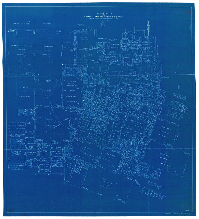
Comanche County Working Sketch 5
1919

Eastland County Sketch File 10

Eastland County Sketch File 7
1872
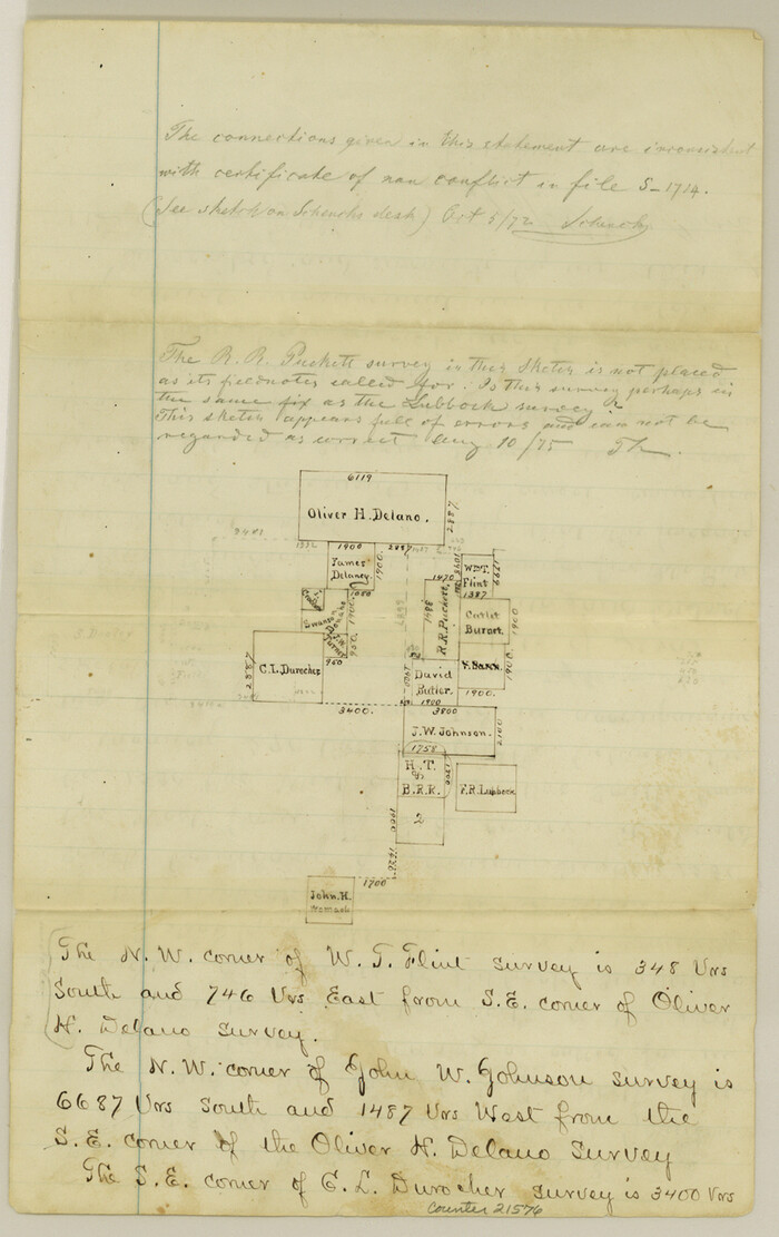
Eastland County Sketch File 8
1872
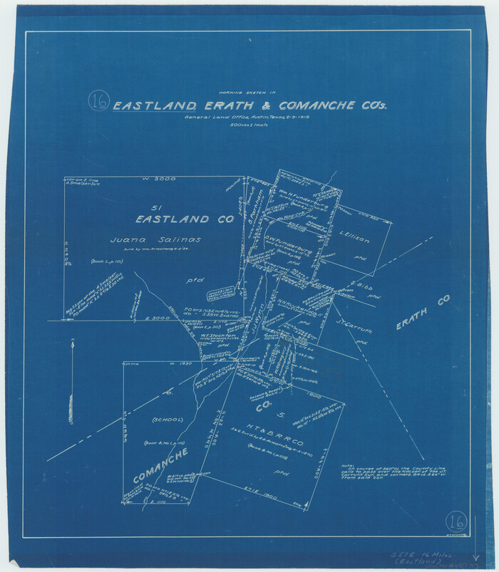
Eastland County Working Sketch 16
1919
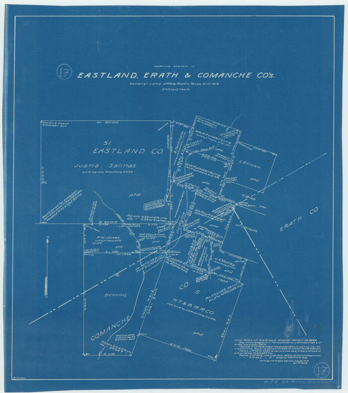
Eastland County Working Sketch 17
1919

Eastland County Working Sketch 31
1955
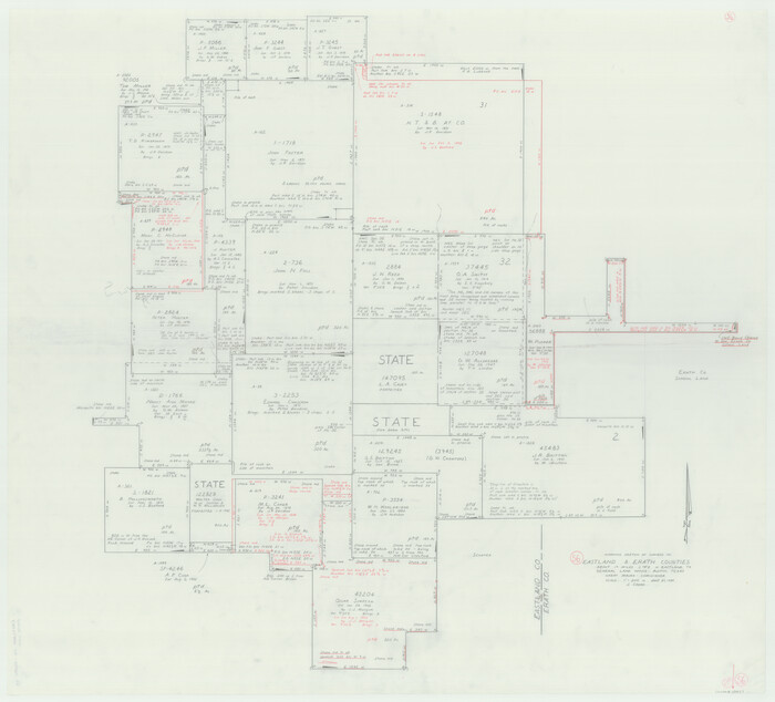
Eastland County Working Sketch 56
1984
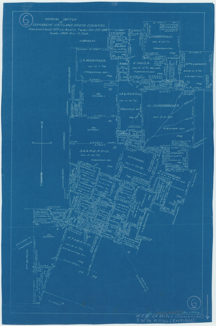
Eastland County Working Sketch 6
1918

Eastland County Working Sketch 62
1989

Eastland County Working Sketch 9
1919

Comanche County Sketch File 1
1847
-
Size
15.4 x 11.8 inches
-
Map/Doc
19051
-
Creation Date
1847

Comanche County Sketch File 2
1849
-
Size
16.0 x 12.9 inches
-
Map/Doc
19053
-
Creation Date
1849

Comanche County Sketch File 20
-
Size
15.5 x 12.6 inches
-
Map/Doc
19103

Comanche County Sketch File 21
-
Size
18.3 x 20.2 inches
-
Map/Doc
11143

Comanche County Sketch File 23
-
Size
8.3 x 7.5 inches
-
Map/Doc
19111

Comanche County Sketch File 26
-
Size
18.0 x 17.5 inches
-
Map/Doc
11144

Comanche County Sketch File 27
1912
-
Size
9.4 x 7.1 inches
-
Map/Doc
19116
-
Creation Date
1912

Comanche County Sketch File 29
1954
-
Size
13.4 x 10.2 inches
-
Map/Doc
19120
-
Creation Date
1954

Comanche County Sketch File 3
1847
-
Size
14.8 x 15.6 inches
-
Map/Doc
19055
-
Creation Date
1847

Comanche County Working Sketch 10
1954
-
Size
21.4 x 18.0 inches
-
Map/Doc
68144
-
Creation Date
1954

Comanche County Working Sketch 27
1983
-
Size
50.2 x 43.5 inches
-
Map/Doc
68161
-
Creation Date
1983

Comanche County Working Sketch 5
1919
-
Size
31.8 x 28.9 inches
-
Map/Doc
68139
-
Creation Date
1919
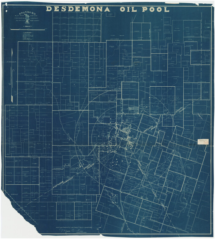
Desdemona Oil Pool
-
Size
38.7 x 43.1 inches
-
Map/Doc
89773

Eastland County Sketch File 10
-
Size
7.0 x 7.8 inches
-
Map/Doc
21582

Eastland County Sketch File 7
1872
-
Size
12.6 x 8.5 inches
-
Map/Doc
21574
-
Creation Date
1872

Eastland County Sketch File 8
1872
-
Size
12.9 x 8.1 inches
-
Map/Doc
21576
-
Creation Date
1872

Eastland County Working Sketch 16
1919
-
Size
19.1 x 16.7 inches
-
Map/Doc
68797
-
Creation Date
1919

Eastland County Working Sketch 17
1919
-
Size
18.3 x 16.2 inches
-
Map/Doc
68798
-
Creation Date
1919

Eastland County Working Sketch 31
1955
-
Size
33.9 x 33.9 inches
-
Map/Doc
68812
-
Creation Date
1955

Eastland County Working Sketch 56
1984
-
Size
39.2 x 43.3 inches
-
Map/Doc
68837
-
Creation Date
1984

Eastland County Working Sketch 6
1918
-
Size
17.2 x 11.4 inches
-
Map/Doc
68787
-
Creation Date
1918

Eastland County Working Sketch 62
1989
-
Size
20.7 x 28.0 inches
-
Map/Doc
68843
-
Creation Date
1989

Eastland County Working Sketch 9
1919
-
Size
33.0 x 30.6 inches
-
Map/Doc
68790
-
Creation Date
1919

Erath County
1939
-
Size
48.8 x 43.7 inches
-
Map/Doc
1823
-
Creation Date
1939
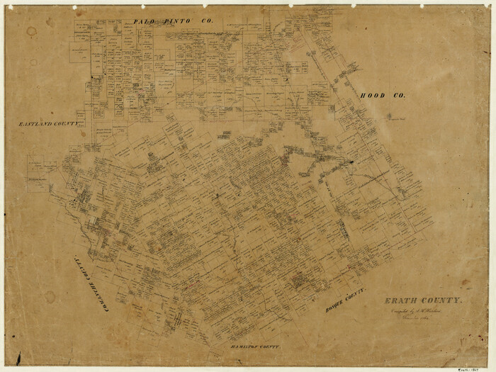
Erath County
1864
-
Size
22.5 x 30.0 inches
-
Map/Doc
3520
-
Creation Date
1864
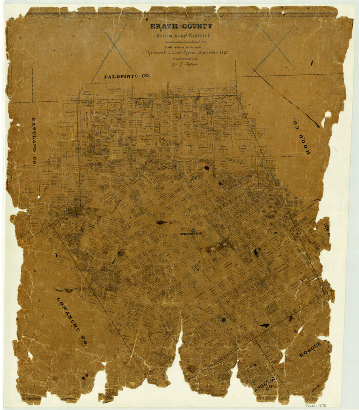
Erath County
1875
-
Size
28.4 x 24.9 inches
-
Map/Doc
3522
-
Creation Date
1875

Erath County
1879
-
Size
26.0 x 22.7 inches
-
Map/Doc
3523
-
Creation Date
1879

Erath County
1879
-
Size
26.5 x 22.8 inches
-
Map/Doc
4538
-
Creation Date
1879
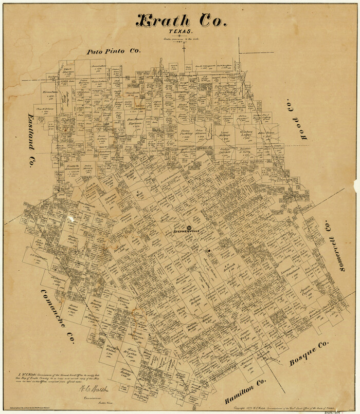
Erath County
1879
-
Size
26.0 x 22.5 inches
-
Map/Doc
4539
-
Creation Date
1879

Erath County
1879
-
Size
26.2 x 22.5 inches
-
Map/Doc
4540
-
Creation Date
1879