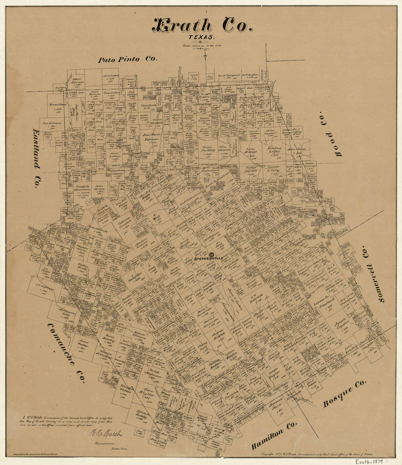
Erath County
-
Map/Doc
3523
-
Collection
General Map Collection
-
Object Dates
1879 (Creation Date)
-
People and Organizations
W.C. Walsh (GLO Commissioner)
F.G. Blau (Draftsman)
August Gast & Co. (Lithographer)
-
Counties
Erath
-
Subjects
County
-
Height x Width
26.0 x 22.7 inches
66.0 x 57.7 cm
-
Comments
Copyrighted 1879.
-
Features
Twin Mountains
Bosque River
Gilmore Creek
Resley's Creek
Green's Creek
Leon River
Armstrong's Creek
Stephenville
East Leon River
South Prong of Palo Pinto Creek
Perrys Creek
Paloxy Creek
Saline Creek
Kikapoo [sic] Creek
Buck Creek
Sunday Creek
Bartons Creek
Part of: General Map Collection
Flight Mission No. DQO-8K, Frame 22, Galveston County

Print $20.00
- Digital $50.00
Flight Mission No. DQO-8K, Frame 22, Galveston County
1952
Size 18.7 x 22.3 inches
Map/Doc 85145
Medina County Sketch File 1

Print $4.00
- Digital $50.00
Medina County Sketch File 1
Size 12.5 x 8.1 inches
Map/Doc 31437
Donley County

Print $20.00
- Digital $50.00
Donley County
1944
Size 46.8 x 40.6 inches
Map/Doc 95484
Amistad International Reservoir on Rio Grande 91

Print $20.00
- Digital $50.00
Amistad International Reservoir on Rio Grande 91
1950
Size 28.5 x 41.0 inches
Map/Doc 75521
Dickens County Working Sketch Graphic Index

Print $20.00
- Digital $50.00
Dickens County Working Sketch Graphic Index
1963
Size 42.5 x 33.6 inches
Map/Doc 76523
Fort Bend County Boundary File 1a

Print $8.00
- Digital $50.00
Fort Bend County Boundary File 1a
Size 12.9 x 8.1 inches
Map/Doc 53555
Controlled Mosaic by Jack Amman Photogrammetric Engineers, Inc - Sheet 53

Print $20.00
- Digital $50.00
Controlled Mosaic by Jack Amman Photogrammetric Engineers, Inc - Sheet 53
1954
Size 20.0 x 24.0 inches
Map/Doc 83512
Presidio County Working Sketch 115

Print $20.00
- Digital $50.00
Presidio County Working Sketch 115
1981
Size 28.7 x 26.7 inches
Map/Doc 71792
Flight Mission No. DAG-28K, Frame 29, Matagorda County

Print $20.00
- Digital $50.00
Flight Mission No. DAG-28K, Frame 29, Matagorda County
1953
Size 16.2 x 16.1 inches
Map/Doc 86597
Potter County Boundary File 4b

Print $20.00
- Digital $50.00
Potter County Boundary File 4b
Size 9.2 x 32.9 inches
Map/Doc 58012
Greer County Sketch File 3

Print $20.00
- Digital $50.00
Greer County Sketch File 3
Size 20.1 x 18.2 inches
Map/Doc 11583
Lubbock County Working Sketch Graphic Index

Print $20.00
- Digital $50.00
Lubbock County Working Sketch Graphic Index
1968
Size 41.3 x 33.7 inches
Map/Doc 76626
You may also like

Lamar County State Real Property Sketch 1

Print $20.00
- Digital $50.00
Lamar County State Real Property Sketch 1
2013
Size 24.0 x 36.0 inches
Map/Doc 93656
Crane County Rolled Sketch 2

Print $40.00
- Digital $50.00
Crane County Rolled Sketch 2
1888
Size 55.3 x 29.0 inches
Map/Doc 8676
The Republic County of Goliad. Proposed, Late Fall 1837-December 31, 1838

Print $20.00
The Republic County of Goliad. Proposed, Late Fall 1837-December 31, 1838
2020
Size 15.1 x 21.7 inches
Map/Doc 96148
Red River County Working Sketch 3

Print $20.00
- Digital $50.00
Red River County Working Sketch 3
1919
Size 14.2 x 12.8 inches
Map/Doc 71986
Trinity River, Reagor Springs Sheet/Waxahachie Creek

Print $4.00
- Digital $50.00
Trinity River, Reagor Springs Sheet/Waxahachie Creek
1931
Size 29.9 x 25.6 inches
Map/Doc 65236
Map of Polk County

Print $20.00
- Digital $50.00
Map of Polk County
1856
Size 22.1 x 23.7 inches
Map/Doc 3961
Lynn County Working Sketch 1

Print $20.00
- Digital $50.00
Lynn County Working Sketch 1
1945
Size 17.2 x 14.0 inches
Map/Doc 70671
[Blocks A, S4, T2, MO, and vicinity]
![91067, [Blocks A, S4, T2, MO, and vicinity], Twichell Survey Records](https://historictexasmaps.com/wmedia_w700/maps/91067-1.tif.jpg)
Print $3.00
- Digital $50.00
[Blocks A, S4, T2, MO, and vicinity]
Size 15.3 x 10.7 inches
Map/Doc 91067
Nueces County Rolled Sketch 51A

Print $20.00
- Digital $50.00
Nueces County Rolled Sketch 51A
1978
Size 27.6 x 39.1 inches
Map/Doc 6890
Tarrant County Rolled Sketch 2

Print $40.00
- Digital $50.00
Tarrant County Rolled Sketch 2
1955
Size 96.5 x 23.5 inches
Map/Doc 9984
Sutton County Working Sketch Graphic Index, Sheet 2 (Sketches 25 to Most Recent)

Print $40.00
- Digital $50.00
Sutton County Working Sketch Graphic Index, Sheet 2 (Sketches 25 to Most Recent)
1941
Size 41.2 x 55.2 inches
Map/Doc 76706