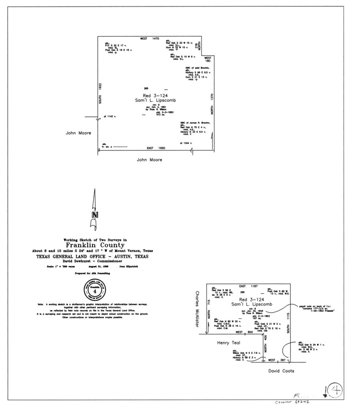
Franklin County Working Sketch 4
1999

General Highway Map, Franklin County, Texas
1961
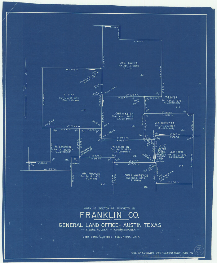
Franklin County Working Sketch 3
1956
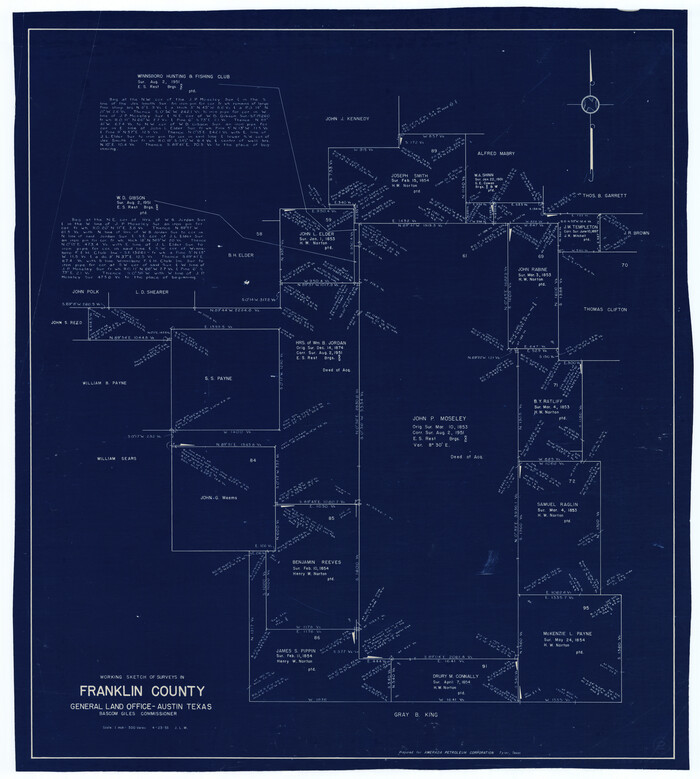
Franklin County Working Sketch 2
1953
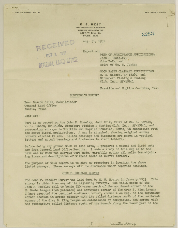
Franklin County Sketch File 17
1951
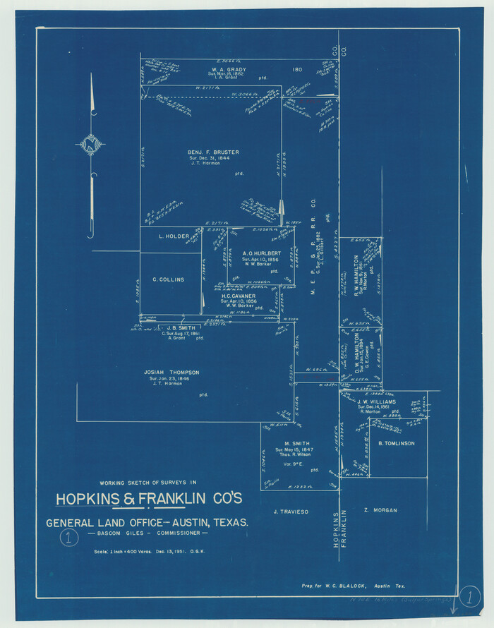
Hopkins County Working Sketch 1
1951

Hopkins County Rolled Sketch 2
1951
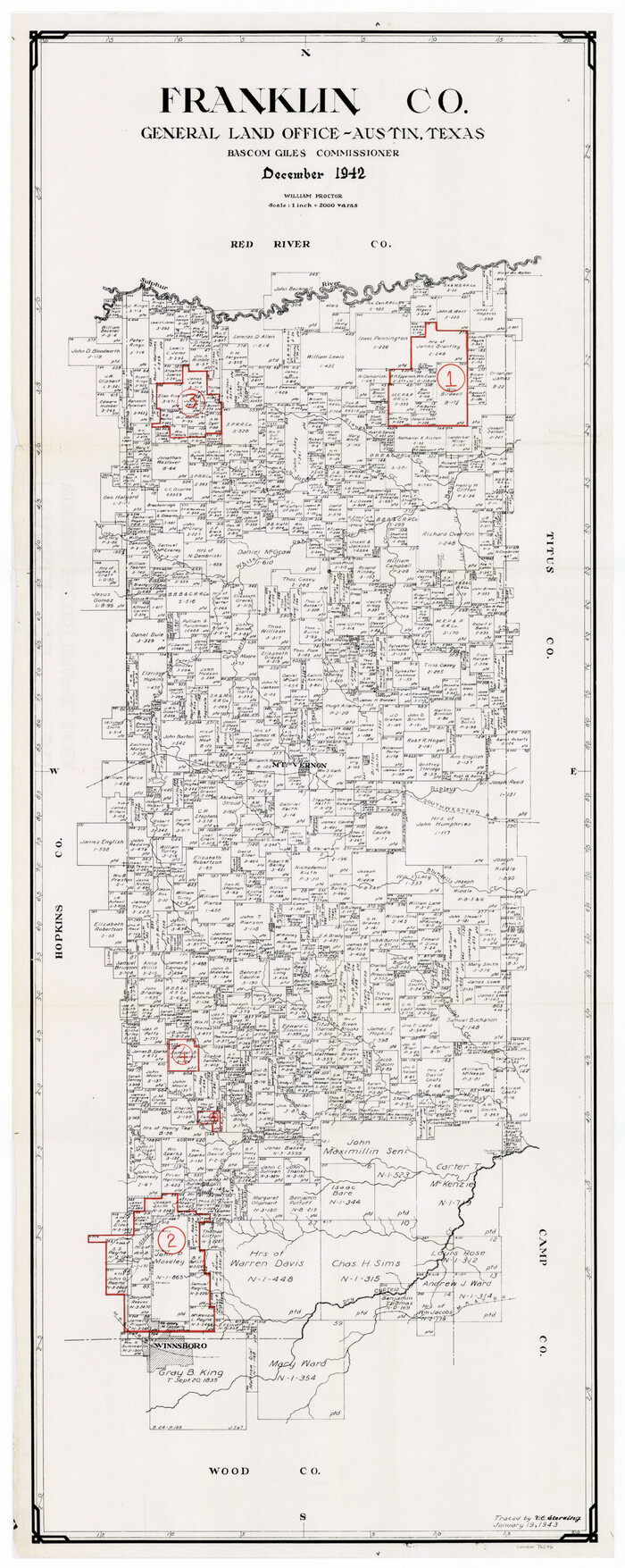
Franklin County Working Sketch Graphic Index
1942

General Highway Map, Franklin County, Morris County, Titus County, Camp County
1940

Sulphur River, Ringo Crossing Sheet
1933

Sulphur River, Ringo Crossing Sheet
1933

Red River, Water-Shed of Cypress Creek in Texas Drainage Area
1925

Water-Shed of the Sulphur River in Texas Drainage Area
1925

Levee Improvement Districts Widths of Floodways - Sulphur River and Cuthand Creek
1924
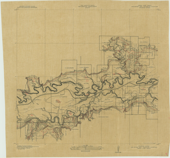
Sulphur River, Terry Lake Sheet
1919
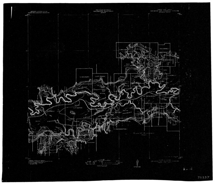
Sulphur River, Terry Lake Sheet
1919

Right of Way and Track Map of The Missouri, Kansas & Texas Railway of Texas
1918

Right of Way and Track Map of The Missouri, Kansas & Texas Railway of Texas
1918
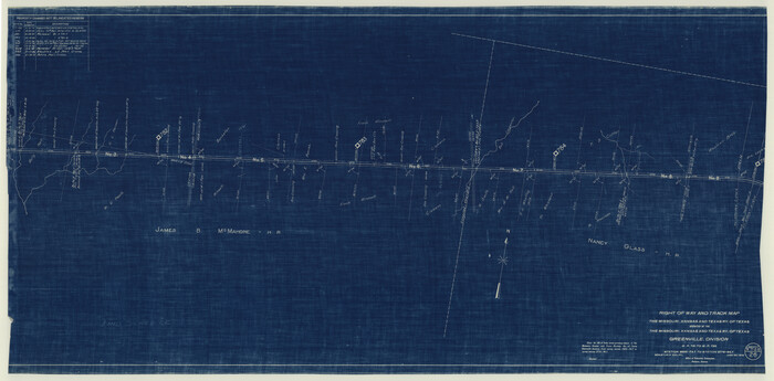
Right of Way and Track Map of The Missouri, Kansas & Texas Railway of Texas
1918
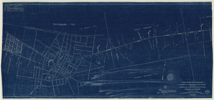
Right of Way and Track Map of The Missouri, Kansas & Texas Railway of Texas
1918
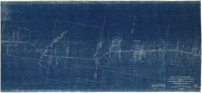
Right of Way and Track Map of The Missouri, Kansas & Texas Railway of Texas
1918

Sulphur River, Talco Sheet
1917
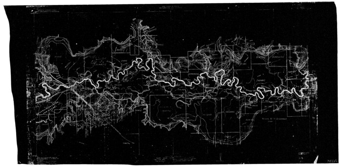
Sulphur River, Talco Sheet
1917
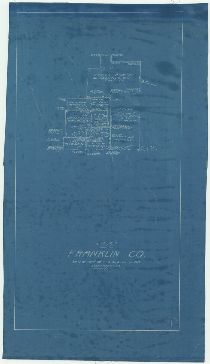
Franklin County Working Sketch 1
1915

Franklin County Working Sketch 4
1999
-
Size
19.2 x 16.6 inches
-
Map/Doc
69242
-
Creation Date
1999

General Highway Map, Franklin County, Texas
1961
-
Size
18.1 x 24.5 inches
-
Map/Doc
79471
-
Creation Date
1961

Franklin County Working Sketch 3
1956
-
Size
19.5 x 16.1 inches
-
Map/Doc
69241
-
Creation Date
1956

Franklin County Working Sketch 2
1953
-
Size
33.3 x 29.9 inches
-
Map/Doc
69240
-
Creation Date
1953

Franklin County Sketch File 17
1951
-
Size
11.3 x 8.8 inches
-
Map/Doc
23026
-
Creation Date
1951

Hopkins County Working Sketch 1
1951
-
Size
24.1 x 19.0 inches
-
Map/Doc
66226
-
Creation Date
1951

Hopkins County Rolled Sketch 2
1951
-
Size
41.6 x 51.8 inches
-
Map/Doc
9180
-
Creation Date
1951
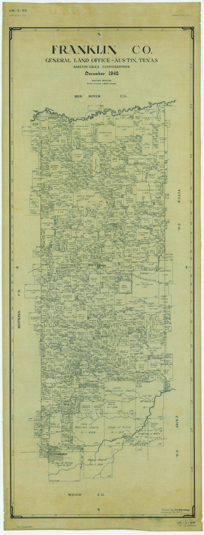
Franklin Co.
1942
-
Size
42.8 x 16.4 inches
-
Map/Doc
1830
-
Creation Date
1942

Franklin Co.
1942
-
Size
42.6 x 16.1 inches
-
Map/Doc
73151
-
Creation Date
1942

Franklin County Working Sketch Graphic Index
1942
-
Size
40.3 x 16.2 inches
-
Map/Doc
76546
-
Creation Date
1942
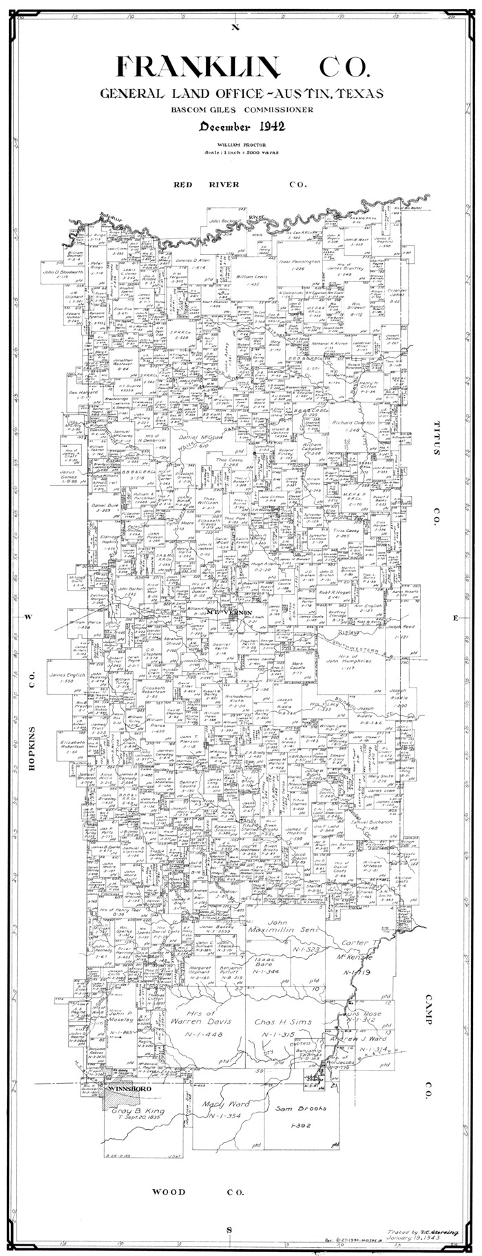
Franklin Co.
1942
-
Size
40.2 x 15.4 inches
-
Map/Doc
77283
-
Creation Date
1942
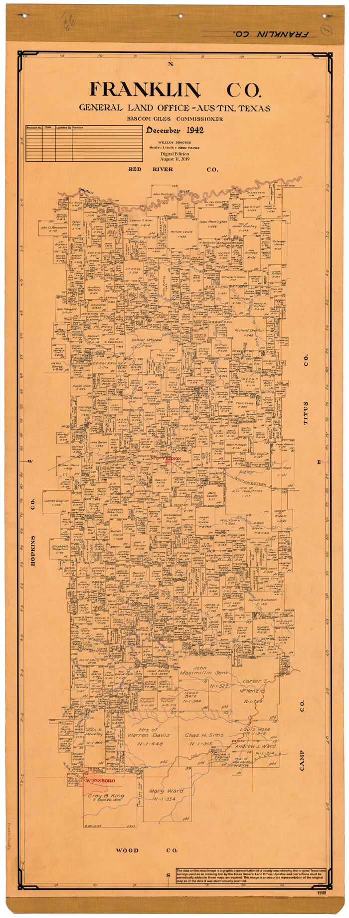
Franklin Co.
1942
-
Size
43.8 x 17.5 inches
-
Map/Doc
95501
-
Creation Date
1942

General Highway Map, Franklin County, Morris County, Titus County, Camp County
1940
-
Size
18.4 x 25.1 inches
-
Map/Doc
79040
-
Creation Date
1940

Sulphur River, Ringo Crossing Sheet
1933
-
Size
30.5 x 35.9 inches
-
Map/Doc
65162
-
Creation Date
1933

Sulphur River, Ringo Crossing Sheet
1933
-
Size
18.5 x 20.4 inches
-
Map/Doc
78334
-
Creation Date
1933

Red River, Water-Shed of Cypress Creek in Texas Drainage Area
1925
-
Size
16.3 x 19.2 inches
-
Map/Doc
65057
-
Creation Date
1925

Water-Shed of the Sulphur River in Texas Drainage Area
1925
-
Size
16.6 x 28.4 inches
-
Map/Doc
65154
-
Creation Date
1925

Levee Improvement Districts Widths of Floodways - Sulphur River and Cuthand Creek
1924
-
Size
15.4 x 38.6 inches
-
Map/Doc
65155
-
Creation Date
1924

Sulphur River, Terry Lake Sheet
1919
-
Size
28.6 x 30.9 inches
-
Map/Doc
65161
-
Creation Date
1919

Sulphur River, Terry Lake Sheet
1919
-
Size
15.7 x 18.3 inches
-
Map/Doc
78337
-
Creation Date
1919

Right of Way and Track Map of The Missouri, Kansas & Texas Railway of Texas
1918
-
Size
25.4 x 75.5 inches
-
Map/Doc
64533
-
Creation Date
1918

Right of Way and Track Map of The Missouri, Kansas & Texas Railway of Texas
1918
-
Size
24.9 x 51.6 inches
-
Map/Doc
64535
-
Creation Date
1918

Right of Way and Track Map of The Missouri, Kansas & Texas Railway of Texas
1918
-
Size
25.0 x 50.7 inches
-
Map/Doc
64536
-
Creation Date
1918

Right of Way and Track Map of The Missouri, Kansas & Texas Railway of Texas
1918
-
Size
24.9 x 53.1 inches
-
Map/Doc
64537
-
Creation Date
1918

Right of Way and Track Map of The Missouri, Kansas & Texas Railway of Texas
1918
-
Size
24.8 x 53.4 inches
-
Map/Doc
64534
-
Creation Date
1918

Sulphur River, Talco Sheet
1917
-
Size
24.6 x 43.7 inches
-
Map/Doc
65160
-
Creation Date
1917

Sulphur River, Talco Sheet
1917
-
Size
12.5 x 25.5 inches
-
Map/Doc
78336
-
Creation Date
1917

Franklin County Working Sketch 1
1915
-
Size
20.4 x 11.8 inches
-
Map/Doc
69239
-
Creation Date
1915
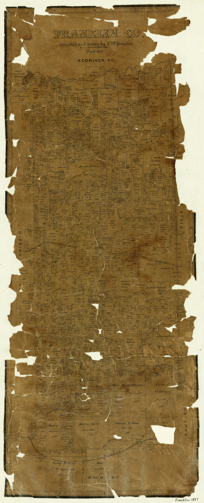
Franklin County
1897
-
Size
35.1 x 14.3 inches
-
Map/Doc
3556
-
Creation Date
1897

Franklin Co.
1897
-
Size
36.5 x 16.0 inches
-
Map/Doc
4950
-
Creation Date
1897