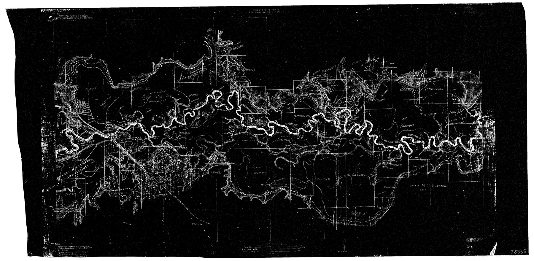
Sulphur River, Talco Sheet
-
Map/Doc
78336
-
Collection
General Map Collection
-
Object Dates
1917 (Creation Date)
-
People and Organizations
Texas State Reclamation Department (Publisher)
Ernest J. von Rosenberg (Surveyor/Engineer)
A.F. Buchanan (Surveyor/Engineer)
R.P. Schulke (Surveyor/Engineer)
-
Counties
Titus Franklin Red River
-
Subjects
River Surveys Topographic
-
Height x Width
12.5 x 25.5 inches
31.8 x 64.8 cm
-
Comments
Talco Sheet located between the Terry Lake Sheet and the Hart's Bluff Sheet.
Part of: General Map Collection
Orange County Sketch File 29

Print $4.00
- Digital $50.00
Orange County Sketch File 29
1922
Size 11.2 x 8.8 inches
Map/Doc 33358
Colorado County Working Sketch 28

Print $20.00
- Digital $50.00
Colorado County Working Sketch 28
1979
Size 33.5 x 24.3 inches
Map/Doc 68128
Madison County Working Sketch 4

Print $20.00
- Digital $50.00
Madison County Working Sketch 4
1973
Size 12.7 x 12.9 inches
Map/Doc 70766
Railroad Track Map, H&TCRRCo., Falls County, Texas

Print $4.00
- Digital $50.00
Railroad Track Map, H&TCRRCo., Falls County, Texas
1918
Size 11.7 x 18.4 inches
Map/Doc 62862
Dawson County Rolled Sketch 5

Print $20.00
- Digital $50.00
Dawson County Rolled Sketch 5
1913
Size 33.6 x 28.0 inches
Map/Doc 5691
Shelby County Working Sketch 33

Print $20.00
- Digital $50.00
Shelby County Working Sketch 33
2008
Size 23.6 x 27.5 inches
Map/Doc 88886
Anderson County Boundary File 9

Print $40.00
- Digital $50.00
Anderson County Boundary File 9
Size 19.7 x 58.3 inches
Map/Doc 49758
Old Miscellaneous File 27c

Print $18.00
- Digital $50.00
Old Miscellaneous File 27c
1880
Size 14.1 x 8.6 inches
Map/Doc 75727
Crockett County Rolled Sketch 50

Print $20.00
- Digital $50.00
Crockett County Rolled Sketch 50
1940
Size 31.5 x 40.7 inches
Map/Doc 8714
Baylor County Sketch File 26

Print $22.00
- Digital $50.00
Baylor County Sketch File 26
Size 14.6 x 9.0 inches
Map/Doc 14215
San Augustine County Working Sketch 7

Print $20.00
- Digital $50.00
San Augustine County Working Sketch 7
1935
Size 24.7 x 34.8 inches
Map/Doc 63694
Flight Mission No. CRK-3P, Frame 131, Refugio County

Print $20.00
- Digital $50.00
Flight Mission No. CRK-3P, Frame 131, Refugio County
1956
Size 18.5 x 22.4 inches
Map/Doc 86919
You may also like
Sketch Richland Creek, Robertson Co.

Print $2.00
- Digital $50.00
Sketch Richland Creek, Robertson Co.
Size 10.4 x 7.9 inches
Map/Doc 266
[A. McMillan and vicinity]
![91023, [A. McMillan and vicinity], Twichell Survey Records](https://historictexasmaps.com/wmedia_w700/maps/91023-1.tif.jpg)
Print $20.00
- Digital $50.00
[A. McMillan and vicinity]
Size 22.6 x 18.7 inches
Map/Doc 91023
Flight Mission No. DQO-3K, Frame 38, Galveston County

Print $20.00
- Digital $50.00
Flight Mission No. DQO-3K, Frame 38, Galveston County
1952
Size 18.7 x 22.3 inches
Map/Doc 85079
[Traverse up the Brazos and Colorado River showing distance from county site to county site]
![2054, [Traverse up the Brazos and Colorado River showing distance from county site to county site], General Map Collection](https://historictexasmaps.com/wmedia_w700/maps/2054.tif.jpg)
Print $40.00
- Digital $50.00
[Traverse up the Brazos and Colorado River showing distance from county site to county site]
1871
Size 16.2 x 98.8 inches
Map/Doc 2054
[Blocks CD, OP and GH in Crockett, Schleicher & Sutton Counties, Texas]
![75776, [Blocks CD, OP and GH in Crockett, Schleicher & Sutton Counties, Texas], Maddox Collection](https://historictexasmaps.com/wmedia_w700/maps/75776.tif.jpg)
Print $20.00
- Digital $50.00
[Blocks CD, OP and GH in Crockett, Schleicher & Sutton Counties, Texas]
Size 22.5 x 27.5 inches
Map/Doc 75776
Wood County Sketch File 11

Print $4.00
- Digital $50.00
Wood County Sketch File 11
1858
Size 12.7 x 8.0 inches
Map/Doc 40664
Real County Working Sketch 72

Print $20.00
- Digital $50.00
Real County Working Sketch 72
1976
Size 47.3 x 43.3 inches
Map/Doc 71964
Hutchinson County Rolled Sketch 44-8

Print $20.00
- Digital $50.00
Hutchinson County Rolled Sketch 44-8
2002
Size 24.0 x 36.0 inches
Map/Doc 77544
Flight Mission No. CUG-1P, Frame 44, Kleberg County

Print $20.00
- Digital $50.00
Flight Mission No. CUG-1P, Frame 44, Kleberg County
1956
Size 18.7 x 22.3 inches
Map/Doc 86122
Cochran County, Texas

Print $20.00
- Digital $50.00
Cochran County, Texas
1936
Size 37.8 x 43.7 inches
Map/Doc 89852
Flight Mission No. DAG-18K, Frame 186, Matagorda County

Print $20.00
- Digital $50.00
Flight Mission No. DAG-18K, Frame 186, Matagorda County
1952
Size 17.2 x 22.5 inches
Map/Doc 86378
Tom Green County

Print $20.00
- Digital $50.00
Tom Green County
1942
Size 43.5 x 24.8 inches
Map/Doc 77437