
Guadalupe County Working Sketch 12
2005
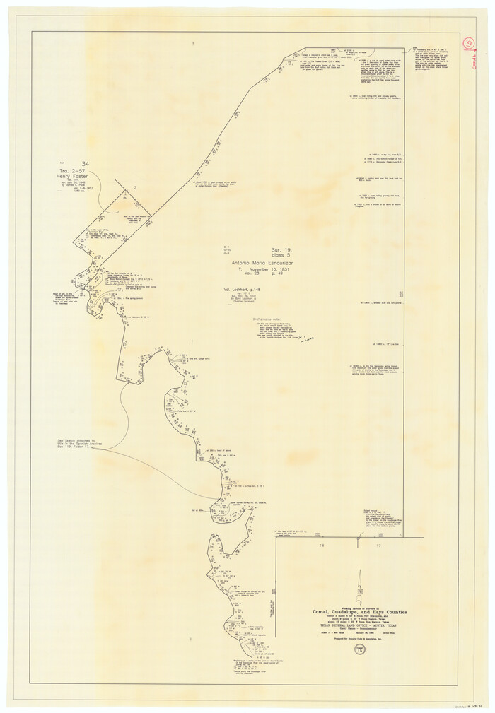
Comal County Working Sketch 15
1994

Comal County Working Sketch 14
1992
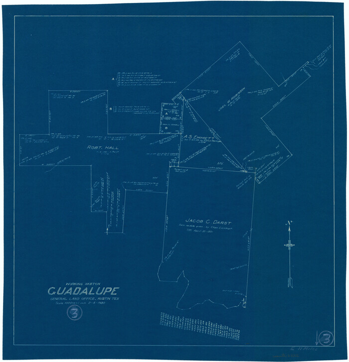
Guadalupe County Working Sketch 3
1980
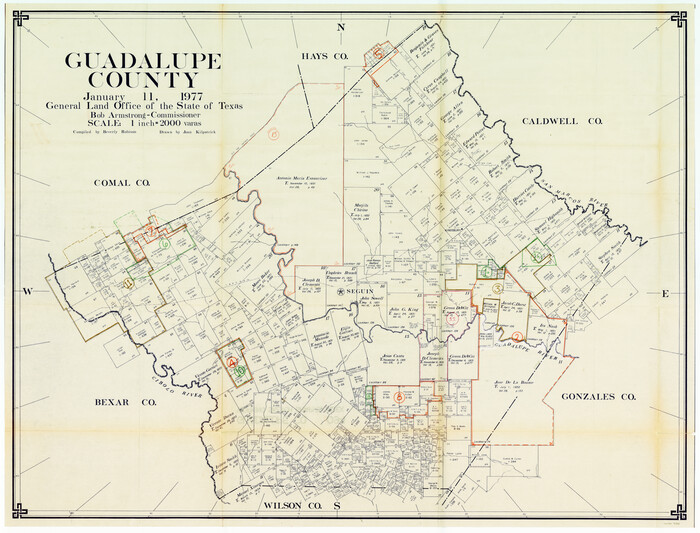
Guadalupe County Working Sketch Graphic Index
1977

Guadalupe County Working Sketch 11
1972
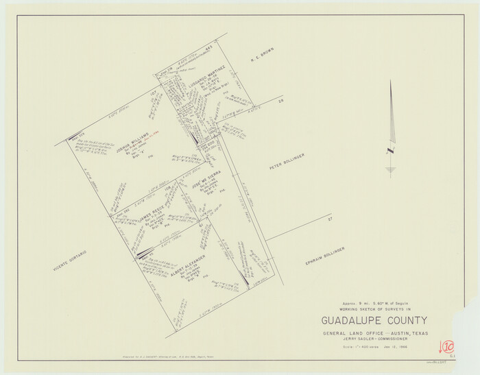
Guadalupe County Working Sketch 10
1966

General Highway Map, Guadalupe County, Texas
1961

Guadalupe County Sketch File 22
1957
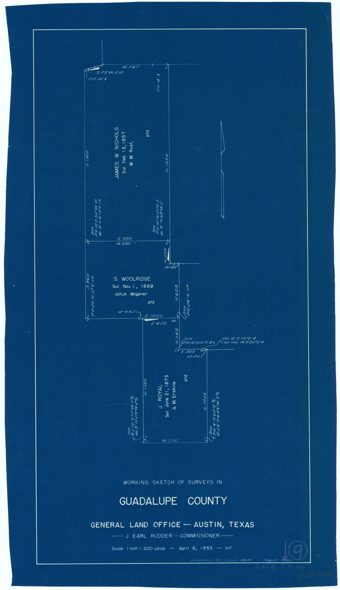
Guadalupe County Working Sketch 9
1955
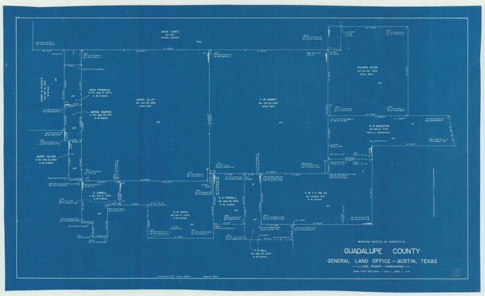
Guadalupe County Working Sketch 8
1955
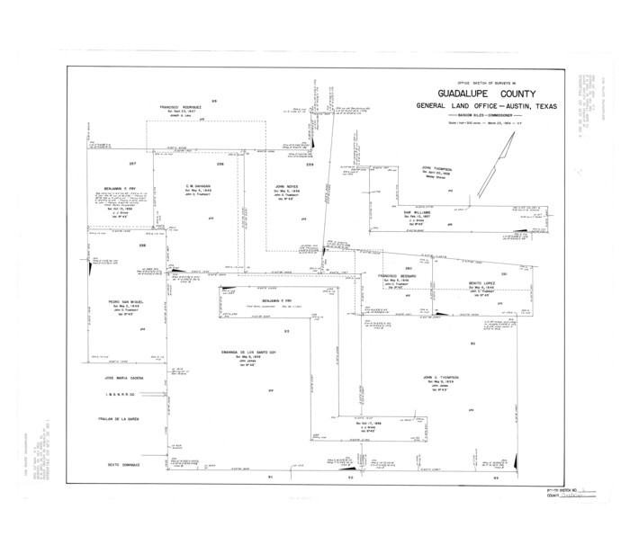
Guadalupe County Rolled Sketch 1
1954

Guadalupe County Working Sketch 7
1954
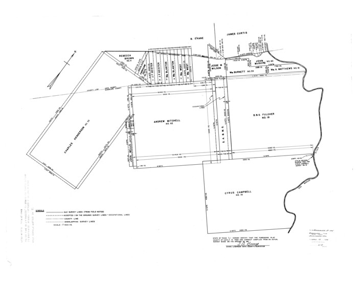
Hays County Rolled Sketch 27
1948
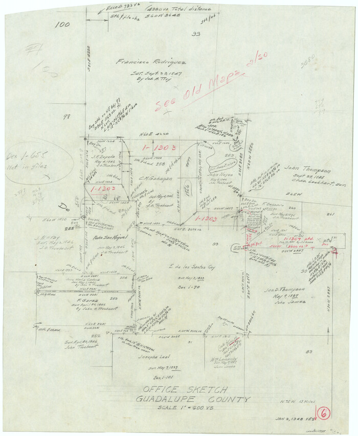
Guadalupe County Working Sketch 6
1948

Guadalupe County Working Sketch 5
1940

General Highway Map, Guadalupe County, Texas
1940

Guadalupe County Working Sketch 4
1939

Guadalupe County Working Sketch 2
1925
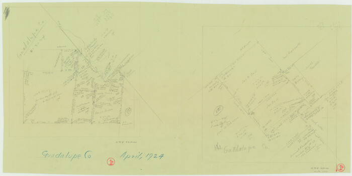
Guadalupe County Working Sketch 1 and 1b
1924
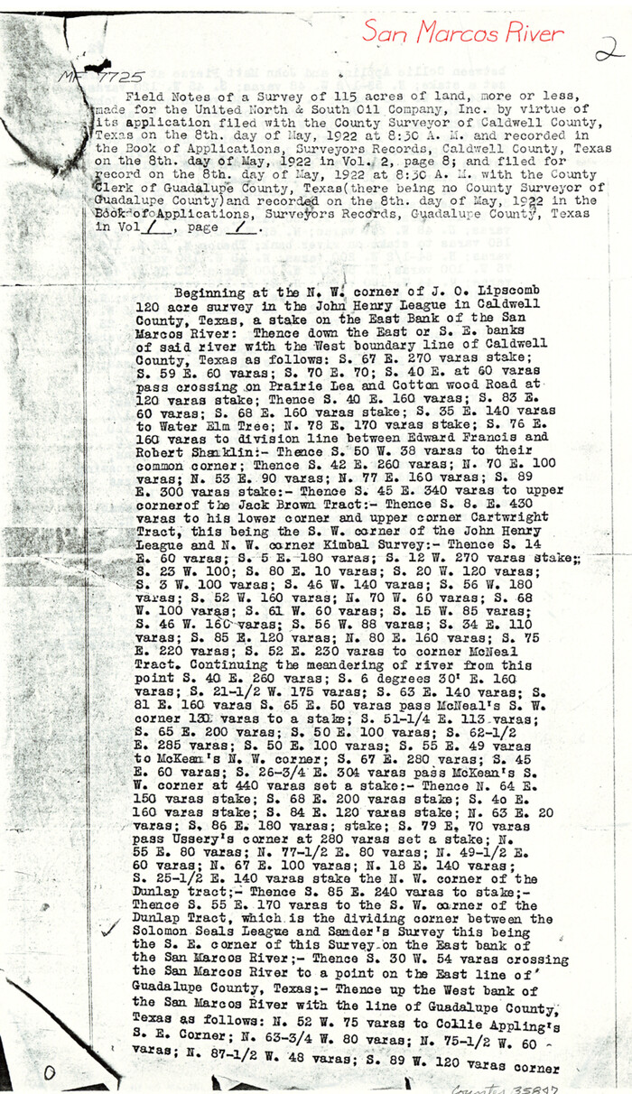
Caldwell County Sketch File 6
1922
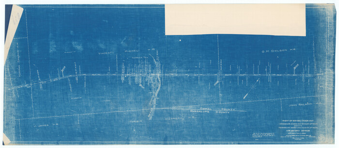
Right of Way and Track Map, the Missouri, Kansas and Texas Ry. of Texas operated by the Missouri, Kansas and Texas Ry. of Texas, San Antonio Division
1918

Gonzales County Rolled Sketch 1
1917
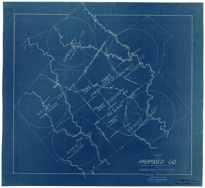
Gonzales County Rolled Sketch 1
1917
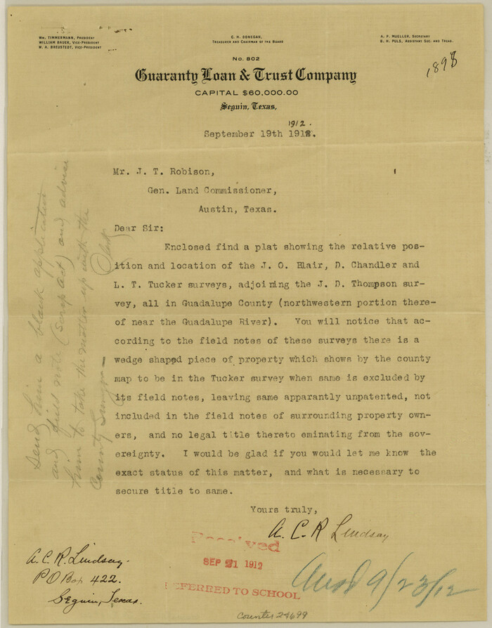
Guadalupe County Sketch File 20
1912

Guadalupe County Working Sketch 12
2005
-
Size
29.1 x 23.5 inches
-
Map/Doc
83571
-
Creation Date
2005

Comal County Working Sketch 15
1994
-
Size
44.6 x 31.0 inches
-
Map/Doc
68181
-
Creation Date
1994

Comal County Working Sketch 14
1992
-
Size
25.4 x 49.9 inches
-
Map/Doc
68180
-
Creation Date
1992

Guadalupe County Working Sketch 3
1980
-
Size
17.1 x 16.5 inches
-
Map/Doc
63312
-
Creation Date
1980

Guadalupe County
1977
-
Size
36.5 x 47.8 inches
-
Map/Doc
95515
-
Creation Date
1977
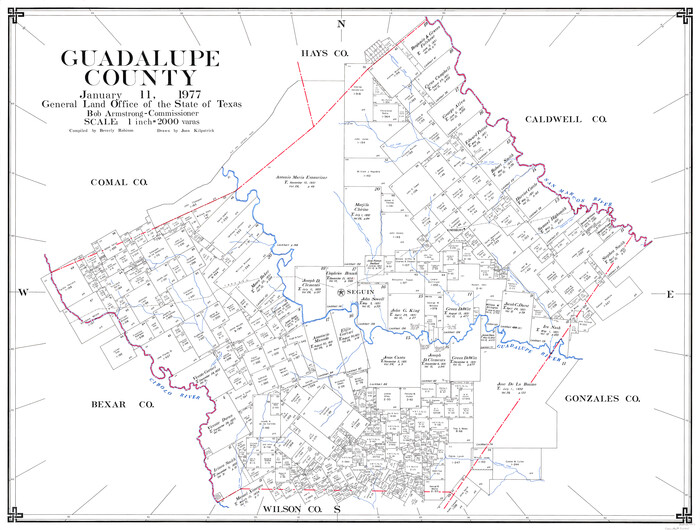
Guadalupe County
1977
-
Size
35.9 x 46.4 inches
-
Map/Doc
73165
-
Creation Date
1977

Guadalupe County Working Sketch Graphic Index
1977
-
Size
35.5 x 46.5 inches
-
Map/Doc
76561
-
Creation Date
1977
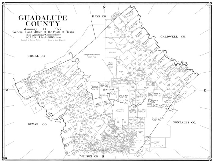
Guadalupe County
1977
-
Size
35.0 x 45.9 inches
-
Map/Doc
77297
-
Creation Date
1977

Guadalupe County Working Sketch 11
1972
-
Size
67.7 x 45.0 inches
-
Map/Doc
63320
-
Creation Date
1972

Guadalupe County Working Sketch 10
1966
-
Size
21.2 x 27.2 inches
-
Map/Doc
63319
-
Creation Date
1966

General Highway Map, Guadalupe County, Texas
1961
-
Size
18.1 x 24.6 inches
-
Map/Doc
79492
-
Creation Date
1961

Guadalupe County Sketch File 22
1957
-
Size
16.2 x 16.5 inches
-
Map/Doc
11591
-
Creation Date
1957

Guadalupe County Working Sketch 9
1955
-
Size
21.9 x 12.6 inches
-
Map/Doc
63318
-
Creation Date
1955

Guadalupe County Working Sketch 8
1955
-
Size
23.6 x 38.6 inches
-
Map/Doc
63317
-
Creation Date
1955

Guadalupe County Rolled Sketch 1
1954
-
Size
33.1 x 38.8 inches
-
Map/Doc
6044
-
Creation Date
1954

Guadalupe County Working Sketch 7
1954
-
Size
20.1 x 20.0 inches
-
Map/Doc
63316
-
Creation Date
1954

Hays County Rolled Sketch 27
1948
-
Size
34.0 x 43.0 inches
-
Map/Doc
9149
-
Creation Date
1948

Guadalupe County Working Sketch 6
1948
-
Size
24.0 x 19.7 inches
-
Map/Doc
63315
-
Creation Date
1948

Guadalupe County Working Sketch 5
1940
-
Size
15.2 x 10.9 inches
-
Map/Doc
63314
-
Creation Date
1940

General Highway Map, Guadalupe County, Texas
1940
-
Size
18.6 x 25.1 inches
-
Map/Doc
79107
-
Creation Date
1940

Guadalupe County Working Sketch 4
1939
-
Size
17.7 x 10.8 inches
-
Map/Doc
63313
-
Creation Date
1939

Guadalupe County Working Sketch 2
1925
-
Size
37.2 x 19.2 inches
-
Map/Doc
63311
-
Creation Date
1925

Guadalupe County Working Sketch 1 and 1b
1924
-
Size
16.3 x 32.5 inches
-
Map/Doc
63310
-
Creation Date
1924

Caldwell County Sketch File 6
1922
-
Size
14.1 x 8.1 inches
-
Map/Doc
35847
-
Creation Date
1922
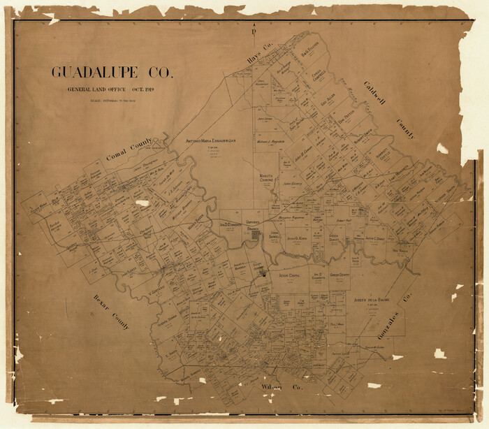
Guadalupe Co.
1919
-
Size
39.8 x 45.4 inches
-
Map/Doc
4692
-
Creation Date
1919
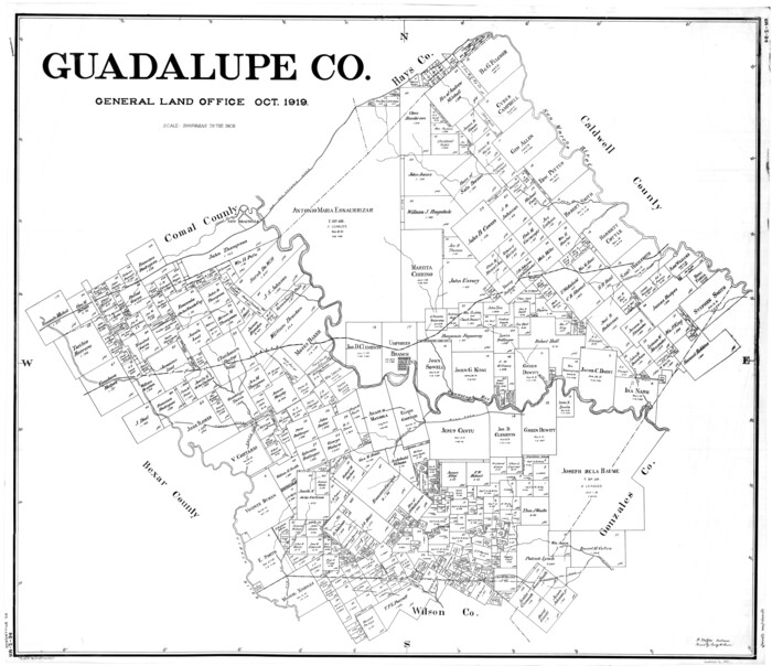
Guadalupe Co.
1919
-
Size
39.6 x 44.7 inches
-
Map/Doc
4965
-
Creation Date
1919

Right of Way and Track Map, the Missouri, Kansas and Texas Ry. of Texas operated by the Missouri, Kansas and Texas Ry. of Texas, San Antonio Division
1918
-
Size
25.1 x 57.7 inches
-
Map/Doc
64585
-
Creation Date
1918

Gonzales County Rolled Sketch 1
1917
-
Size
21.9 x 23.9 inches
-
Map/Doc
6027
-
Creation Date
1917

Gonzales County Rolled Sketch 1
1917
-
Size
22.1 x 24.0 inches
-
Map/Doc
6028
-
Creation Date
1917

Guadalupe County Sketch File 20
1912
-
Size
11.1 x 8.7 inches
-
Map/Doc
24699
-
Creation Date
1912