[Surveys in Guadalupe and Wilson Counties]
Print $2.00
- Digital $50.00
[Surveys in Guadalupe and Wilson Counties]
Size: 6.0 x 12.2 inches
59
[Surveys along the San Marcos River]
Print $2.00
- Digital $50.00
[Surveys along the San Marcos River]
Size: 9.6 x 8.0 inches
152
[Gonzales District]
Print $20.00
- Digital $50.00
[Gonzales District]
1840
Size: 42.8 x 37.0 inches
16837
Southwest Part of Anton Chico Grant Guadalupe County, New Mexico

Print $20.00
- Digital $50.00
Southwest Part of Anton Chico Grant Guadalupe County, New Mexico
Size: 23.8 x 28.6 inches
92435
Right of Way and Track Map, the Missouri, Kansas and Texas Ry. of Texas operated by the Missouri, Kansas and Texas Ry. of Texas, San Antonio Division

Print $40.00
- Digital $50.00
Right of Way and Track Map, the Missouri, Kansas and Texas Ry. of Texas operated by the Missouri, Kansas and Texas Ry. of Texas, San Antonio Division
1918
Size: 25.1 x 57.7 inches
64585
Map representing the surveys made in Bexar County

Print $40.00
- Digital $50.00
Map representing the surveys made in Bexar County
1839
Size: 76.0 x 68.4 inches
1947
Map representing the surveys made in Bexar County

Print $40.00
- Digital $50.00
Map representing the surveys made in Bexar County
1839
Size: 75.7 x 37.9 inches
93364
Map representing the surveys made in Bexar County

Print $40.00
- Digital $50.00
Map representing the surveys made in Bexar County
1839
Size: 75.7 x 35.1 inches
93365
Hays County Rolled Sketch 27

Print $20.00
- Digital $50.00
Hays County Rolled Sketch 27
1948
Size: 34.0 x 43.0 inches
9149
Guadalupe-Blanco River Authority Master Plan

Print $20.00
Guadalupe-Blanco River Authority Master Plan
Size: 23.1 x 29.8 inches
97506
Guadalupe County, Texas

Print $20.00
- Digital $50.00
Guadalupe County, Texas
1880
Size: 24.7 x 22.5 inches
491
Guadalupe County Working Sketch Graphic Index

Print $20.00
- Digital $50.00
Guadalupe County Working Sketch Graphic Index
1977
Size: 35.5 x 46.5 inches
76561
Guadalupe County Working Sketch 9

Print $20.00
- Digital $50.00
Guadalupe County Working Sketch 9
1955
Size: 21.9 x 12.6 inches
63318
Guadalupe County Working Sketch 8

Print $20.00
- Digital $50.00
Guadalupe County Working Sketch 8
1955
Size: 23.6 x 38.6 inches
63317
Guadalupe County Working Sketch 7

Print $20.00
- Digital $50.00
Guadalupe County Working Sketch 7
1954
Size: 20.1 x 20.0 inches
63316
Guadalupe County Working Sketch 6

Print $20.00
- Digital $50.00
Guadalupe County Working Sketch 6
1948
Size: 24.0 x 19.7 inches
63315
Guadalupe County Working Sketch 5

Print $3.00
- Digital $50.00
Guadalupe County Working Sketch 5
1940
Size: 15.2 x 10.9 inches
63314
Guadalupe County Working Sketch 4

Print $20.00
- Digital $50.00
Guadalupe County Working Sketch 4
1939
Size: 17.7 x 10.8 inches
63313
Guadalupe County Working Sketch 3

Print $20.00
- Digital $50.00
Guadalupe County Working Sketch 3
1980
Size: 17.1 x 16.5 inches
63312
Guadalupe County Working Sketch 2

Print $20.00
- Digital $50.00
Guadalupe County Working Sketch 2
1925
Size: 37.2 x 19.2 inches
63311
Guadalupe County Working Sketch 12

Print $20.00
- Digital $50.00
Guadalupe County Working Sketch 12
2005
Size: 29.1 x 23.5 inches
83571
Guadalupe County Working Sketch 11

Print $40.00
- Digital $50.00
Guadalupe County Working Sketch 11
1972
Size: 67.7 x 45.0 inches
63320
Guadalupe County Working Sketch 10

Print $20.00
- Digital $50.00
Guadalupe County Working Sketch 10
1966
Size: 21.2 x 27.2 inches
63319
Guadalupe County Working Sketch 1 and 1b

Print $20.00
- Digital $50.00
Guadalupe County Working Sketch 1 and 1b
1924
Size: 16.3 x 32.5 inches
63310
Guadalupe County Sketch File 9

Print $4.00
- Digital $50.00
Guadalupe County Sketch File 9
1862
Size: 9.9 x 8.1 inches
24677
Guadalupe County Sketch File 8

Print $7.00
- Digital $50.00
Guadalupe County Sketch File 8
1871
Size: 10.4 x 8.3 inches
24674
Guadalupe County Sketch File 7c

Print $22.00
- Digital $50.00
Guadalupe County Sketch File 7c
Size: 12.7 x 15.5 inches
24672
Guadalupe County Sketch File 7b

Print $4.00
- Digital $50.00
Guadalupe County Sketch File 7b
Size: 7.3 x 10.9 inches
24670
Guadalupe County Sketch File 7a

Print $4.00
- Digital $50.00
Guadalupe County Sketch File 7a
1873
Size: 10.2 x 8.2 inches
24668
Guadalupe County Sketch File 7

Print $20.00
- Digital $50.00
Guadalupe County Sketch File 7
Size: 15.6 x 19.5 inches
11590
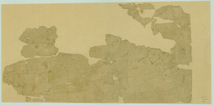
[Surveys in Guadalupe and Wilson Counties]
Print $2.00
- Digital $50.00
[Surveys in Guadalupe and Wilson Counties]
-
Size
6.0 x 12.2 inches
-
Map/Doc
59
[Surveys along the San Marcos River]
Print $2.00
- Digital $50.00
[Surveys along the San Marcos River]
-
Size
9.6 x 8.0 inches
-
Map/Doc
152
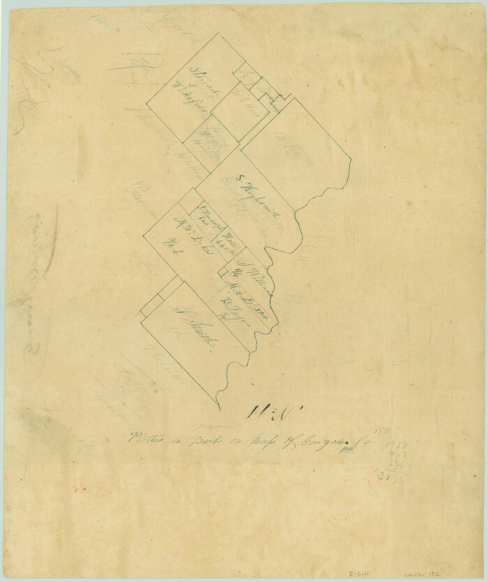
[Gonzales District]
Print $20.00
- Digital $50.00
[Gonzales District]
1840
-
Size
42.8 x 37.0 inches
-
Map/Doc
16837
-
Creation Date
1840
Southwest Part of Anton Chico Grant Guadalupe County, New Mexico
Print $20.00
- Digital $50.00
Southwest Part of Anton Chico Grant Guadalupe County, New Mexico
-
Size
23.8 x 28.6 inches
-
Map/Doc
92435
Right of Way and Track Map, the Missouri, Kansas and Texas Ry. of Texas operated by the Missouri, Kansas and Texas Ry. of Texas, San Antonio Division
Print $40.00
- Digital $50.00
Right of Way and Track Map, the Missouri, Kansas and Texas Ry. of Texas operated by the Missouri, Kansas and Texas Ry. of Texas, San Antonio Division
1918
-
Size
25.1 x 57.7 inches
-
Map/Doc
64585
-
Creation Date
1918
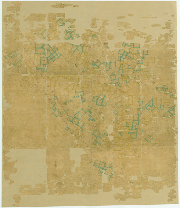
Map representing the surveys made in Bexar County
Print $40.00
- Digital $50.00
Map representing the surveys made in Bexar County
1839
-
Size
76.0 x 68.4 inches
-
Map/Doc
1947
-
Creation Date
1839
Map representing the surveys made in Bexar County
Print $40.00
- Digital $50.00
Map representing the surveys made in Bexar County
1839
-
Size
75.7 x 37.9 inches
-
Map/Doc
93364
-
Creation Date
1839
Map representing the surveys made in Bexar County
Print $40.00
- Digital $50.00
Map representing the surveys made in Bexar County
1839
-
Size
75.7 x 35.1 inches
-
Map/Doc
93365
-
Creation Date
1839
Hays County Rolled Sketch 27
Print $20.00
- Digital $50.00
Hays County Rolled Sketch 27
1948
-
Size
34.0 x 43.0 inches
-
Map/Doc
9149
-
Creation Date
1948
Guadalupe-Blanco River Authority Master Plan
Print $20.00
Guadalupe-Blanco River Authority Master Plan
-
Size
23.1 x 29.8 inches
-
Map/Doc
97506
Guadalupe County, Texas
Print $20.00
- Digital $50.00
Guadalupe County, Texas
1880
-
Size
24.7 x 22.5 inches
-
Map/Doc
491
-
Creation Date
1880
Guadalupe County Working Sketch Graphic Index
Print $20.00
- Digital $50.00
Guadalupe County Working Sketch Graphic Index
1977
-
Size
35.5 x 46.5 inches
-
Map/Doc
76561
-
Creation Date
1977
Guadalupe County Working Sketch 9
Print $20.00
- Digital $50.00
Guadalupe County Working Sketch 9
1955
-
Size
21.9 x 12.6 inches
-
Map/Doc
63318
-
Creation Date
1955
Guadalupe County Working Sketch 8
Print $20.00
- Digital $50.00
Guadalupe County Working Sketch 8
1955
-
Size
23.6 x 38.6 inches
-
Map/Doc
63317
-
Creation Date
1955
Guadalupe County Working Sketch 7
Print $20.00
- Digital $50.00
Guadalupe County Working Sketch 7
1954
-
Size
20.1 x 20.0 inches
-
Map/Doc
63316
-
Creation Date
1954
Guadalupe County Working Sketch 6
Print $20.00
- Digital $50.00
Guadalupe County Working Sketch 6
1948
-
Size
24.0 x 19.7 inches
-
Map/Doc
63315
-
Creation Date
1948
Guadalupe County Working Sketch 5
Print $3.00
- Digital $50.00
Guadalupe County Working Sketch 5
1940
-
Size
15.2 x 10.9 inches
-
Map/Doc
63314
-
Creation Date
1940
Guadalupe County Working Sketch 4
Print $20.00
- Digital $50.00
Guadalupe County Working Sketch 4
1939
-
Size
17.7 x 10.8 inches
-
Map/Doc
63313
-
Creation Date
1939
Guadalupe County Working Sketch 3
Print $20.00
- Digital $50.00
Guadalupe County Working Sketch 3
1980
-
Size
17.1 x 16.5 inches
-
Map/Doc
63312
-
Creation Date
1980
Guadalupe County Working Sketch 2
Print $20.00
- Digital $50.00
Guadalupe County Working Sketch 2
1925
-
Size
37.2 x 19.2 inches
-
Map/Doc
63311
-
Creation Date
1925
Guadalupe County Working Sketch 12
Print $20.00
- Digital $50.00
Guadalupe County Working Sketch 12
2005
-
Size
29.1 x 23.5 inches
-
Map/Doc
83571
-
Creation Date
2005
Guadalupe County Working Sketch 11
Print $40.00
- Digital $50.00
Guadalupe County Working Sketch 11
1972
-
Size
67.7 x 45.0 inches
-
Map/Doc
63320
-
Creation Date
1972
Guadalupe County Working Sketch 10
Print $20.00
- Digital $50.00
Guadalupe County Working Sketch 10
1966
-
Size
21.2 x 27.2 inches
-
Map/Doc
63319
-
Creation Date
1966
Guadalupe County Working Sketch 1 and 1b
Print $20.00
- Digital $50.00
Guadalupe County Working Sketch 1 and 1b
1924
-
Size
16.3 x 32.5 inches
-
Map/Doc
63310
-
Creation Date
1924
Guadalupe County Sketch File 9
Print $4.00
- Digital $50.00
Guadalupe County Sketch File 9
1862
-
Size
9.9 x 8.1 inches
-
Map/Doc
24677
-
Creation Date
1862
Guadalupe County Sketch File 8
Print $7.00
- Digital $50.00
Guadalupe County Sketch File 8
1871
-
Size
10.4 x 8.3 inches
-
Map/Doc
24674
-
Creation Date
1871
Guadalupe County Sketch File 7c
Print $22.00
- Digital $50.00
Guadalupe County Sketch File 7c
-
Size
12.7 x 15.5 inches
-
Map/Doc
24672
Guadalupe County Sketch File 7b
Print $4.00
- Digital $50.00
Guadalupe County Sketch File 7b
-
Size
7.3 x 10.9 inches
-
Map/Doc
24670
Guadalupe County Sketch File 7a
Print $4.00
- Digital $50.00
Guadalupe County Sketch File 7a
1873
-
Size
10.2 x 8.2 inches
-
Map/Doc
24668
-
Creation Date
1873
Guadalupe County Sketch File 7
Print $20.00
- Digital $50.00
Guadalupe County Sketch File 7
-
Size
15.6 x 19.5 inches
-
Map/Doc
11590