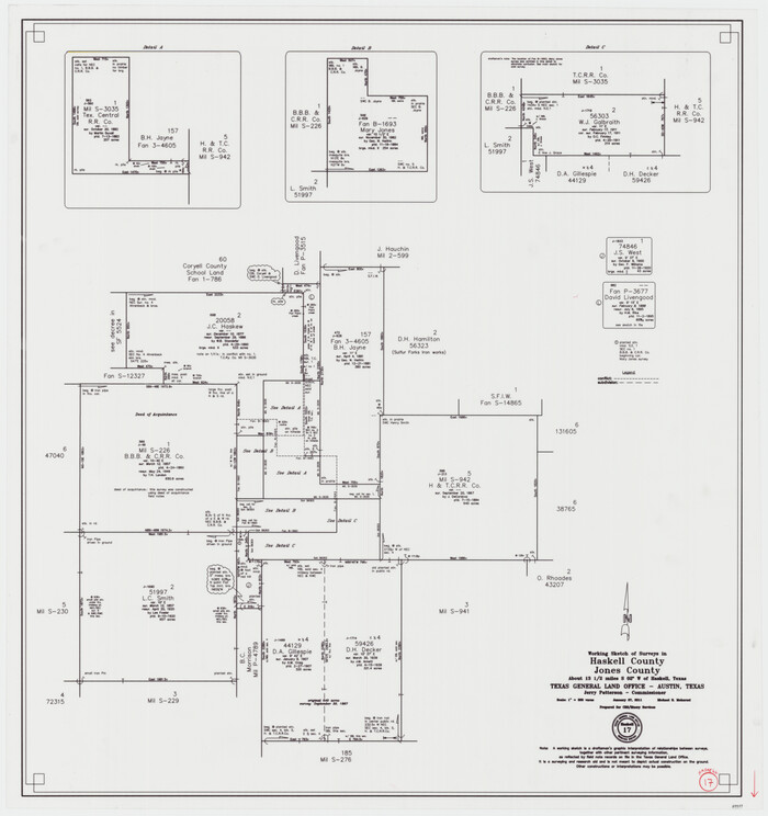
Haskell County Working Sketch 17
2011
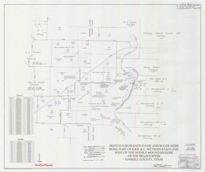
Haskell County Rolled Sketch 17
2007

Haskell County Sketch File 26
1992
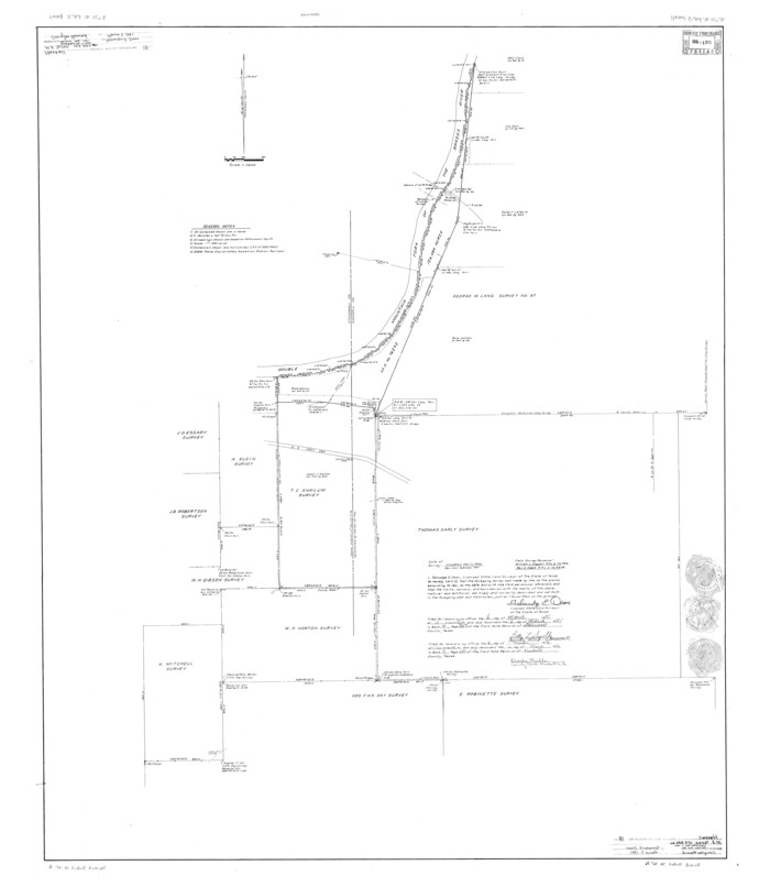
Haskell County Rolled Sketch 16
1991

Haskell County Rolled Sketch 14
1991
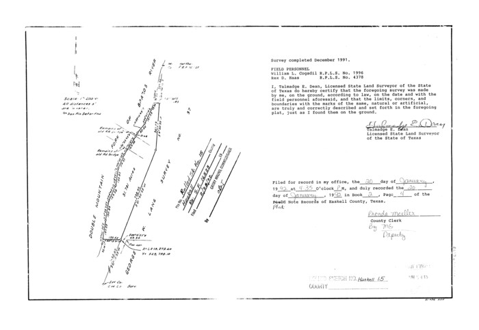
Haskell County Rolled Sketch 15
1991
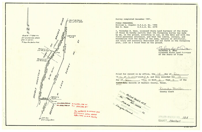
Haskell County Rolled Sketch 15A
1991

Haskell County Rolled Sketch 13
1991
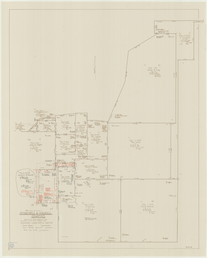
Stonewall County Working Sketch 35
1991

Haskell County Working Sketch 16
1986
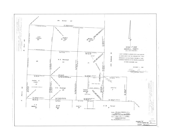
Haskell County Rolled Sketch 11
1983

Haskell County Working Sketch 15
1983

Haskell County Working Sketch 13
1983
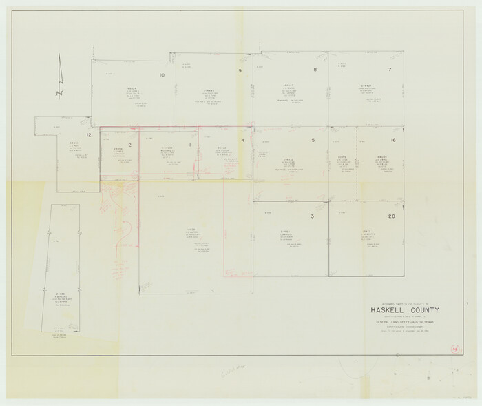
Haskell County Working Sketch 14
1983

Stonewall County Working Sketch 30
1982

Haskell County Rolled Sketch 10
1981
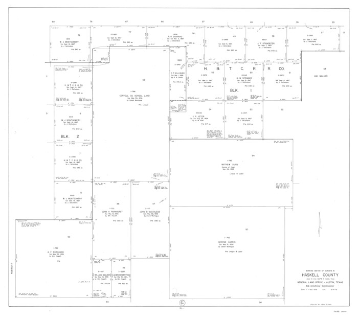
Haskell County Working Sketch 12
1979

Haskell County Working Sketch 11
1976

Stonewall County Working Sketch 28
1976
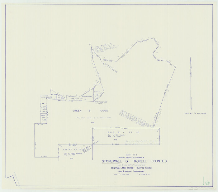
Stonewall County Working Sketch 24
1973

Stonewall County Working Sketch 25
1973
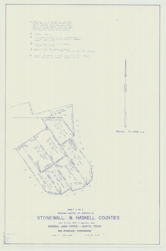
Stonewall County Working Sketch 26
1973

Throckmorton County Working Sketch 9
1963
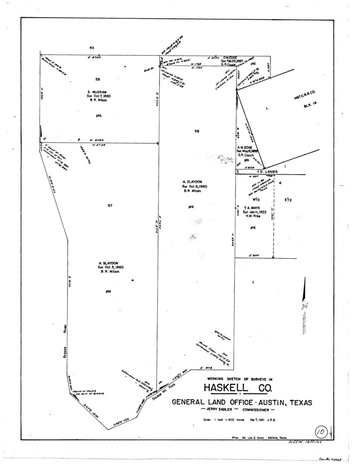
Haskell County Working Sketch 10
1961

General Highway Map, Haskell County, Texas
1961
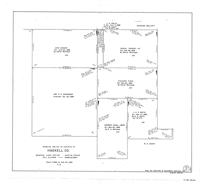
Haskell County Working Sketch 9
1959

Haskell County Working Sketch 8
1957
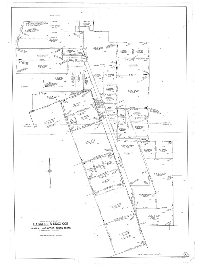
Haskell County Working Sketch 7
1956

Throckmorton County Sketch File 10
1955

Stonewall County Sketch File 27
1955

Haskell County Working Sketch 17
2011
-
Size
34.3 x 32.3 inches
-
Map/Doc
89989
-
Creation Date
2011

Haskell County Rolled Sketch 17
2007
-
Size
30.0 x 36.0 inches
-
Map/Doc
88819
-
Creation Date
2007

Haskell County Sketch File 26
1992
-
Size
11.3 x 8.8 inches
-
Map/Doc
26182
-
Creation Date
1992

Haskell County Rolled Sketch 16
1991
-
Size
45.3 x 39.4 inches
-
Map/Doc
9148
-
Creation Date
1991

Haskell County Rolled Sketch 14
1991
-
Size
11.1 x 17.1 inches
-
Map/Doc
6172
-
Creation Date
1991

Haskell County Rolled Sketch 15
1991
-
Size
12.7 x 18.4 inches
-
Map/Doc
6173
-
Creation Date
1991

Haskell County Rolled Sketch 15A
1991
-
Size
11.3 x 17.1 inches
-
Map/Doc
6174
-
Creation Date
1991

Haskell County Rolled Sketch 13
1991
-
Size
11.0 x 17.1 inches
-
Map/Doc
6171
-
Creation Date
1991

Stonewall County Working Sketch 35
1991
-
Size
41.1 x 33.0 inches
-
Map/Doc
62342
-
Creation Date
1991

Haskell County Working Sketch 16
1986
-
Size
37.9 x 47.3 inches
-
Map/Doc
66074
-
Creation Date
1986

Haskell County Rolled Sketch 11
1983
-
Size
23.0 x 28.0 inches
-
Map/Doc
6170
-
Creation Date
1983

Haskell County Working Sketch 15
1983
-
Size
48.0 x 57.5 inches
-
Map/Doc
66073
-
Creation Date
1983

Haskell County Working Sketch 13
1983
-
Size
33.0 x 41.8 inches
-
Map/Doc
66071
-
Creation Date
1983

Haskell County Working Sketch 14
1983
-
Size
34.2 x 40.7 inches
-
Map/Doc
66072
-
Creation Date
1983

Stonewall County Working Sketch 30
1982
-
Size
28.6 x 29.0 inches
-
Map/Doc
62337
-
Creation Date
1982

Haskell County Rolled Sketch 10
1981
-
Size
33.2 x 14.3 inches
-
Map/Doc
6169
-
Creation Date
1981

Haskell County Working Sketch 12
1979
-
Size
39.3 x 44.2 inches
-
Map/Doc
66070
-
Creation Date
1979

Haskell County Working Sketch 11
1976
-
Size
38.0 x 33.4 inches
-
Map/Doc
66069
-
Creation Date
1976

Stonewall County Working Sketch 28
1976
-
Size
34.5 x 39.2 inches
-
Map/Doc
62335
-
Creation Date
1976

Stonewall County Working Sketch 24
1973
-
Size
27.1 x 30.9 inches
-
Map/Doc
62331
-
Creation Date
1973

Stonewall County Working Sketch 25
1973
-
Size
29.5 x 23.4 inches
-
Map/Doc
62332
-
Creation Date
1973

Stonewall County Working Sketch 26
1973
-
Size
27.0 x 17.9 inches
-
Map/Doc
62333
-
Creation Date
1973

Throckmorton County Working Sketch 9
1963
-
Size
25.2 x 35.8 inches
-
Map/Doc
62118
-
Creation Date
1963

Haskell County Working Sketch 10
1961
-
Size
26.8 x 20.4 inches
-
Map/Doc
66068
-
Creation Date
1961

General Highway Map, Haskell County, Texas
1961
-
Size
18.1 x 24.7 inches
-
Map/Doc
79512
-
Creation Date
1961

Haskell County Working Sketch 9
1959
-
Size
23.5 x 26.0 inches
-
Map/Doc
66067
-
Creation Date
1959

Haskell County Working Sketch 8
1957
-
Size
22.8 x 24.0 inches
-
Map/Doc
66066
-
Creation Date
1957

Haskell County Working Sketch 7
1956
-
Size
52.1 x 39.0 inches
-
Map/Doc
66065
-
Creation Date
1956

Throckmorton County Sketch File 10
1955
-
Size
11.2 x 8.8 inches
-
Map/Doc
38102
-
Creation Date
1955

Stonewall County Sketch File 27
1955
-
Size
10.9 x 7.2 inches
-
Map/Doc
37296
-
Creation Date
1955