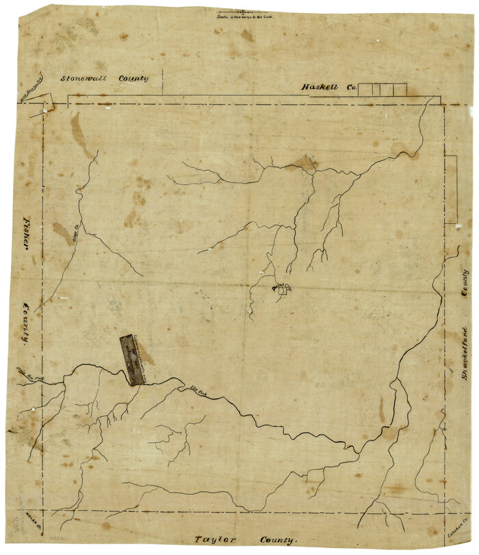
[Surveying sketch of Jones County showing Micaela Fiagoso survey]
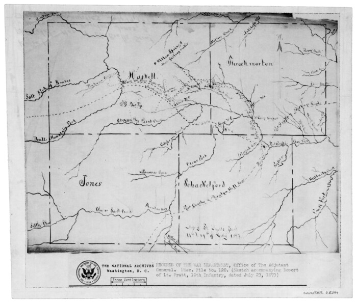
[Map of Lt. Brulls scout in Haskell, Throckmorton, Jones and Shackelford Counties]
1873

Throckmorton County Working Sketch 9
1963
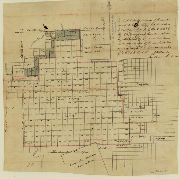
Throckmorton County Sketch File 4

Throckmorton County Sketch File 2

Throckmorton County Sketch File 10
1955

Throckmorton County Rolled Sketch 1
1927
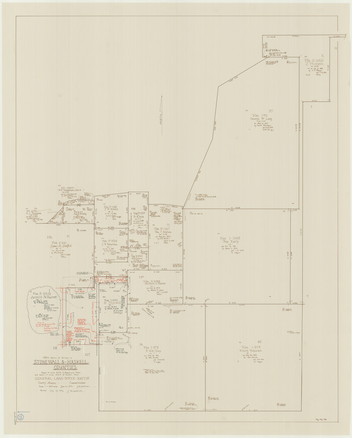
Stonewall County Working Sketch 35
1991

Stonewall County Working Sketch 30
1982

Stonewall County Working Sketch 28
1976
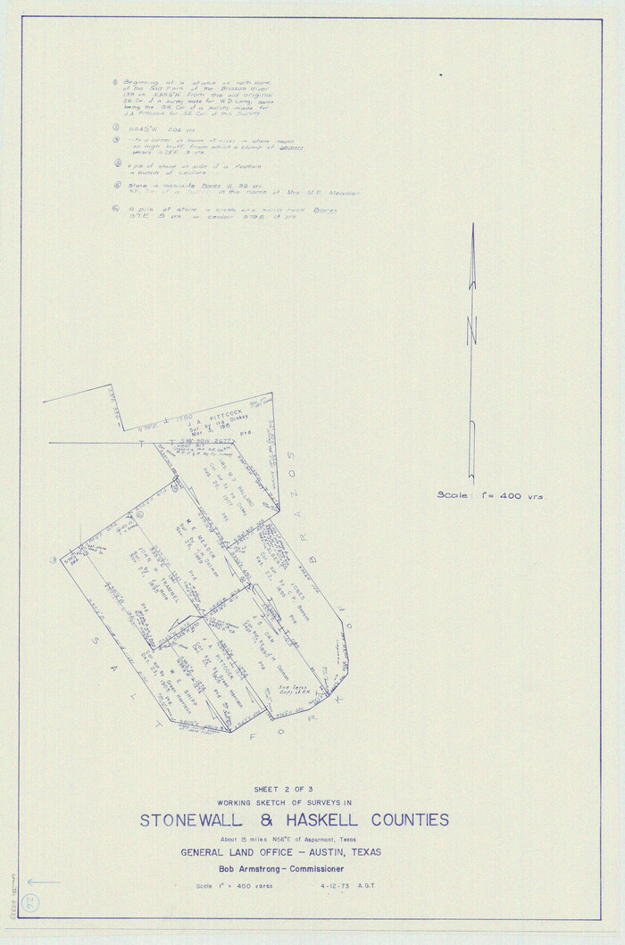
Stonewall County Working Sketch 26
1973

Stonewall County Working Sketch 25
1973
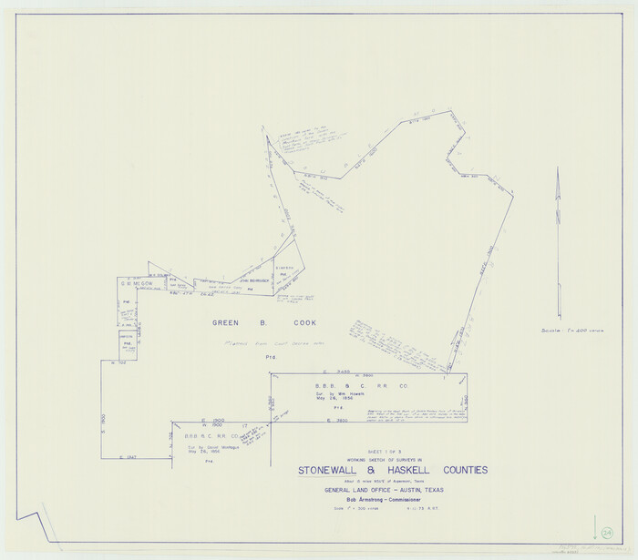
Stonewall County Working Sketch 24
1973
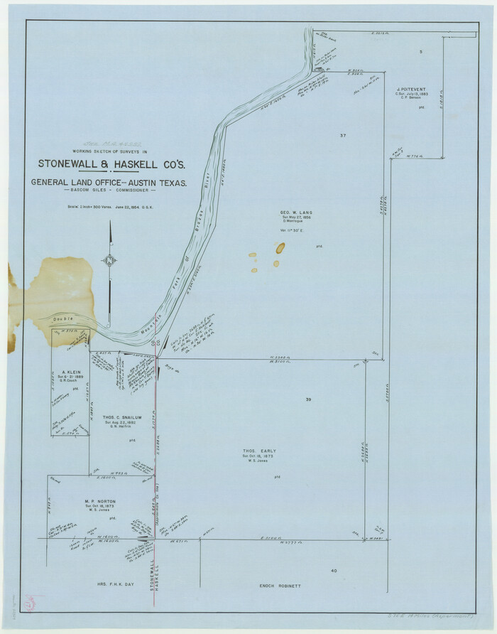
Stonewall County Working Sketch 17
1954
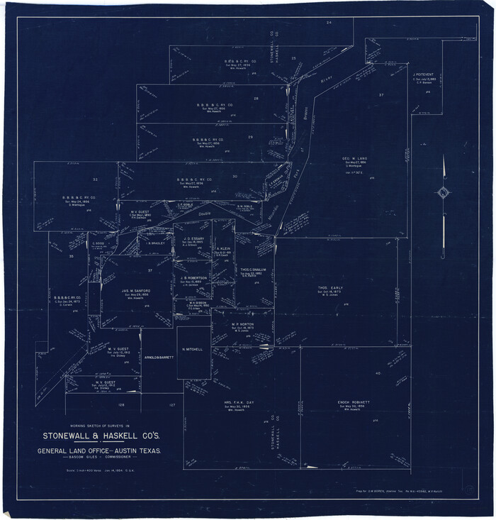
Stonewall County Working Sketch 15
1954

Stonewall County Working Sketch 14
1951

Stonewall County Sketch File X
1901
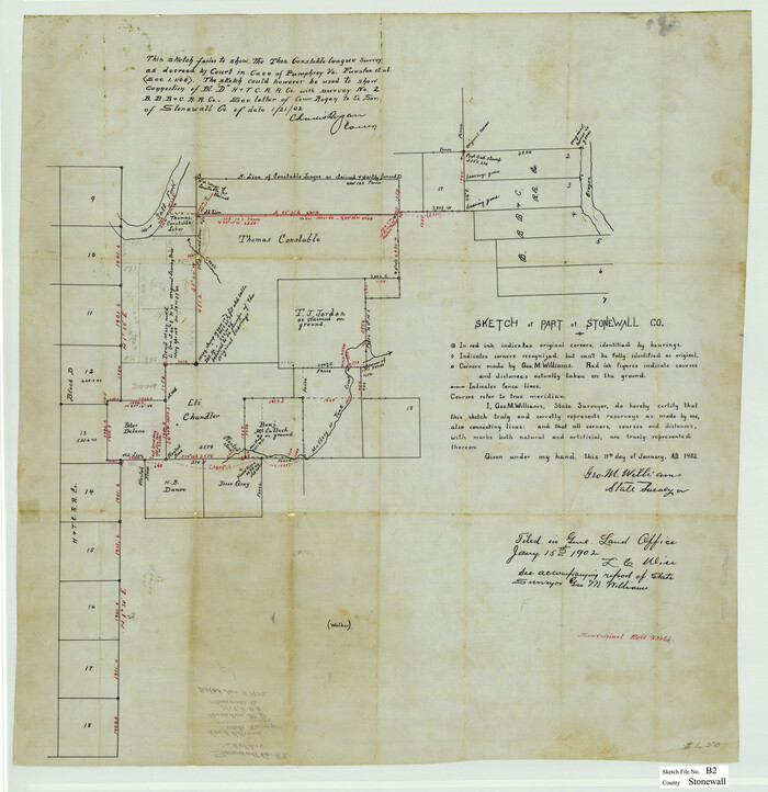
Stonewall County Sketch File B2
1902

Stonewall County Sketch File AA1
1916
Stonewall County Sketch File 8
1896

Stonewall County Sketch File 27
1955

Stonewall County Sketch File 25
1952

Stonewall County Sketch File 19
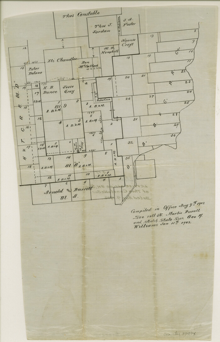
Stonewall County Sketch File 17
1902
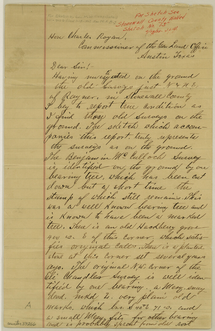
Stonewall County Sketch File 16
1902

Stonewall County Sketch File 14
1901

Stonewall County Sketch File 13
1901
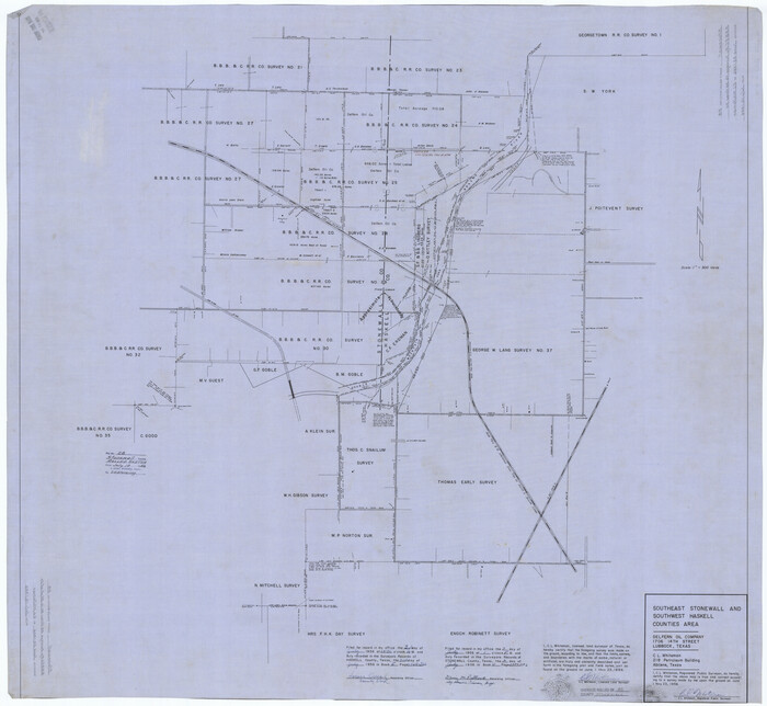
Stonewall County Rolled Sketch 28
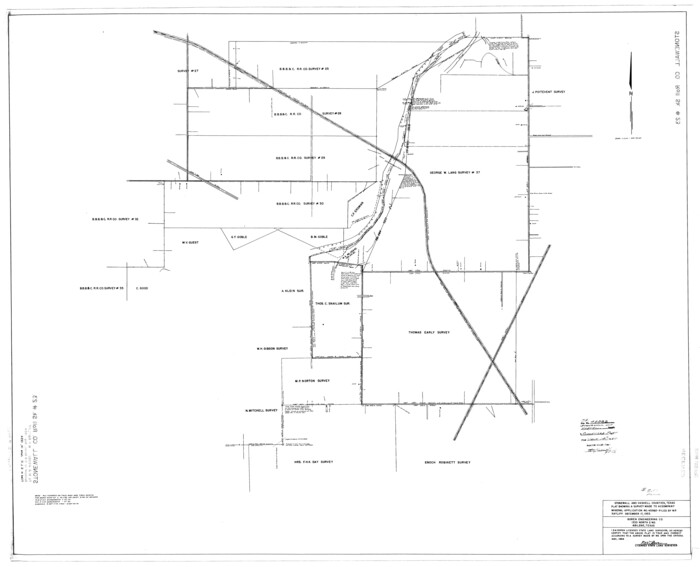
Stonewall County Rolled Sketch 23

Stonewall County Rolled Sketch 20
![387, [Surveying sketch of Jones County showing Micaela Fiagoso survey], Maddox Collection](https://historictexasmaps.com/wmedia_w700/maps/0387-1.tif.jpg)
[Surveying sketch of Jones County showing Micaela Fiagoso survey]
-
Size
19.5 x 16.8 inches
-
Map/Doc
387
![65399, [Map of Lt. Brulls scout in Haskell, Throckmorton, Jones and Shackelford Counties], General Map Collection](https://historictexasmaps.com/wmedia_w700/maps/65399-1.tif.jpg)
[Map of Lt. Brulls scout in Haskell, Throckmorton, Jones and Shackelford Counties]
1873
-
Size
10.1 x 11.9 inches
-
Map/Doc
65399
-
Creation Date
1873

Throckmorton County Working Sketch 9
1963
-
Size
25.2 x 35.8 inches
-
Map/Doc
62118
-
Creation Date
1963

Throckmorton County Sketch File 4
-
Size
15.1 x 15.2 inches
-
Map/Doc
38054

Throckmorton County Sketch File 2
-
Size
22.1 x 26.2 inches
-
Map/Doc
12431

Throckmorton County Sketch File 10
1955
-
Size
11.2 x 8.8 inches
-
Map/Doc
38102
-
Creation Date
1955

Throckmorton County Rolled Sketch 1
1927
-
Size
23.5 x 30.3 inches
-
Map/Doc
7984
-
Creation Date
1927

Stonewall County Working Sketch 35
1991
-
Size
41.1 x 33.0 inches
-
Map/Doc
62342
-
Creation Date
1991

Stonewall County Working Sketch 30
1982
-
Size
28.6 x 29.0 inches
-
Map/Doc
62337
-
Creation Date
1982

Stonewall County Working Sketch 28
1976
-
Size
34.5 x 39.2 inches
-
Map/Doc
62335
-
Creation Date
1976

Stonewall County Working Sketch 26
1973
-
Size
27.0 x 17.9 inches
-
Map/Doc
62333
-
Creation Date
1973

Stonewall County Working Sketch 25
1973
-
Size
29.5 x 23.4 inches
-
Map/Doc
62332
-
Creation Date
1973

Stonewall County Working Sketch 24
1973
-
Size
27.1 x 30.9 inches
-
Map/Doc
62331
-
Creation Date
1973

Stonewall County Working Sketch 17
1954
-
Size
31.5 x 24.7 inches
-
Map/Doc
62324
-
Creation Date
1954

Stonewall County Working Sketch 15
1954
-
Size
32.3 x 30.8 inches
-
Map/Doc
62322
-
Creation Date
1954

Stonewall County Working Sketch 14
1951
-
Size
22.2 x 37.1 inches
-
Map/Doc
62321
-
Creation Date
1951

Stonewall County Sketch File X
1901
-
Size
25.8 x 18.1 inches
-
Map/Doc
12378
-
Creation Date
1901

Stonewall County Sketch File B2
1902
-
Size
25.8 x 25.0 inches
-
Map/Doc
12377
-
Creation Date
1902

Stonewall County Sketch File AA1
1916
-
Size
14.3 x 8.6 inches
-
Map/Doc
37288
-
Creation Date
1916

Stonewall County Sketch File 8
1896
-
Size
8.7 x 7.7 inches
-
Map/Doc
37222
-
Creation Date
1896

Stonewall County Sketch File 27
1955
-
Size
10.9 x 7.2 inches
-
Map/Doc
37296
-
Creation Date
1955

Stonewall County Sketch File 25
1952
-
Size
26.7 x 43.3 inches
-
Map/Doc
10375
-
Creation Date
1952

Stonewall County Sketch File 19
-
Size
33.2 x 33.6 inches
-
Map/Doc
10392

Stonewall County Sketch File 17
1902
-
Size
16.5 x 10.6 inches
-
Map/Doc
37274
-
Creation Date
1902

Stonewall County Sketch File 16
1902
-
Size
12.8 x 8.3 inches
-
Map/Doc
37266
-
Creation Date
1902

Stonewall County Sketch File 14
1901
-
Size
21.5 x 18.3 inches
-
Map/Doc
12366
-
Creation Date
1901

Stonewall County Sketch File 13
1901
-
Size
22.4 x 18.8 inches
-
Map/Doc
12365
-
Creation Date
1901

Stonewall County Rolled Sketch 28
-
Size
42.8 x 46.5 inches
-
Map/Doc
9967

Stonewall County Rolled Sketch 23
-
Size
38.5 x 47.5 inches
-
Map/Doc
9962

Stonewall County Rolled Sketch 20
-
Size
36.7 x 55.7 inches
-
Map/Doc
49129