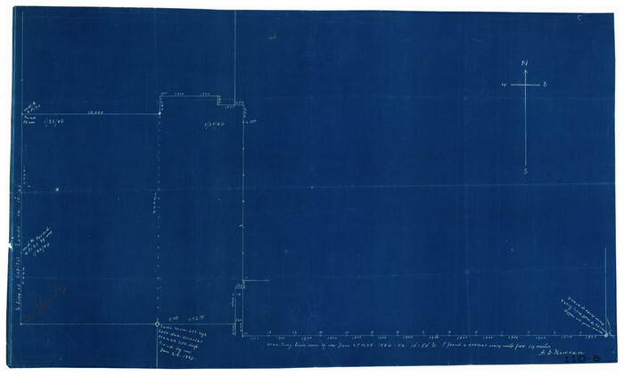
[Working Sketch Showing Southwest Part of the County]

Print $2.00
- Digital $50.00
[Working Sketch Showing Southwest Part of the County]
1886
Size: 14.9 x 9.0 inches
91117
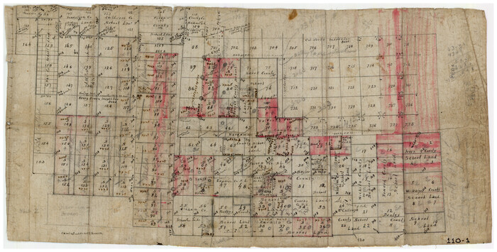
[West Central Portion of County]

Print $20.00
- Digital $50.00
[West Central Portion of County]
Size: 19.5 x 9.8 inches
91257
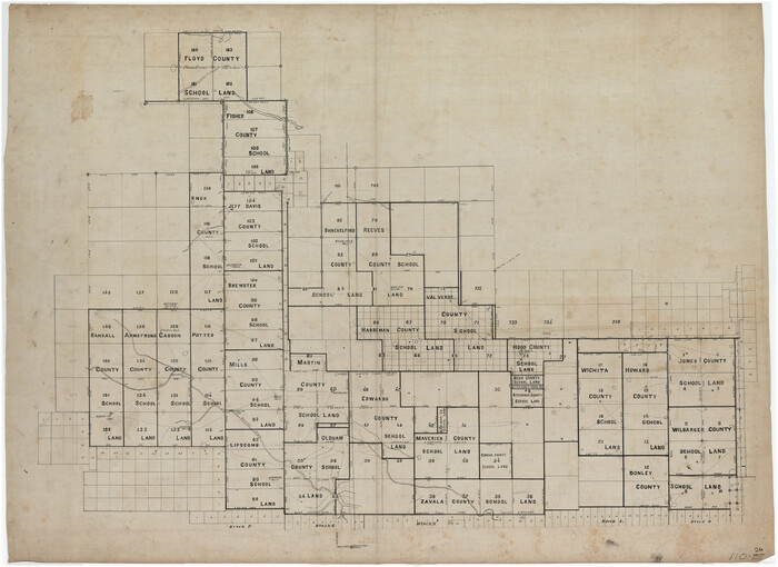
[Various County School Lands]

Print $40.00
- Digital $50.00
[Various County School Lands]
Size: 57.6 x 42.9 inches
89928
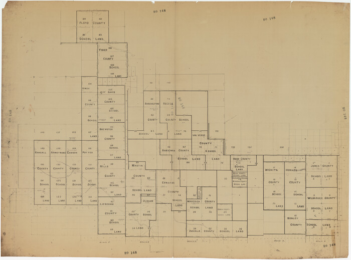
[Various County School Land Leagues]

Print $40.00
- Digital $50.00
[Various County School Land Leagues]
Size: 55.7 x 41.4 inches
89849
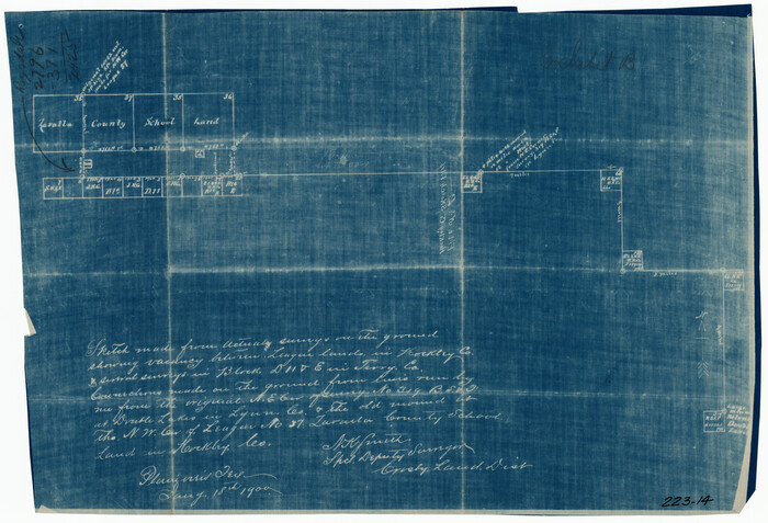
[Tie Line, Zavala County School Land to North Line of Block D11, East and South to Double Lakes Corner]

Print $20.00
- Digital $50.00
[Tie Line, Zavala County School Land to North Line of Block D11, East and South to Double Lakes Corner]
1900
Size: 18.5 x 12.6 inches
91868
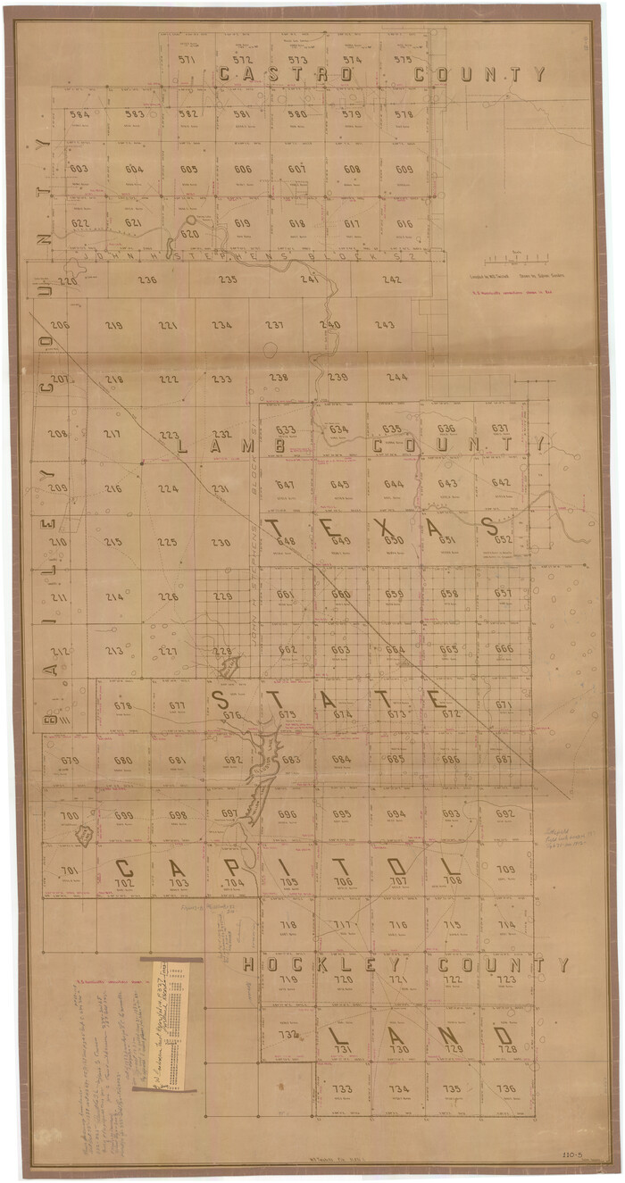
[Texas State Capitol Land]

Print $40.00
- Digital $50.00
[Texas State Capitol Land]
Size: 37.6 x 72.6 inches
89940
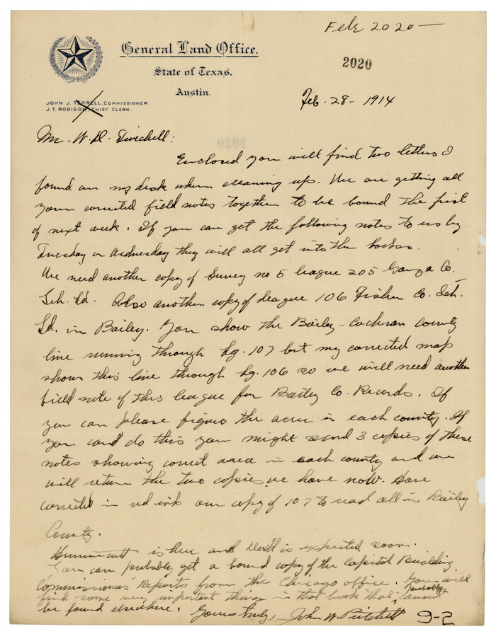
[South part of Bailey County showing School Leagues]

Print $2.00
- Digital $50.00
[South part of Bailey County showing School Leagues]
1914
Size: 5.9 x 7.6 inches
92991
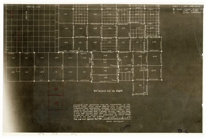
[South part of Bailey County showing School Leagues]

Print $2.00
- Digital $50.00
[South part of Bailey County showing School Leagues]
1913
Size: 12.1 x 8.1 inches
92992
[Sketch showing various County School Land Leagues]
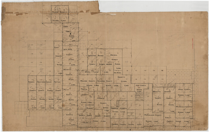

Print $40.00
- Digital $50.00
[Sketch showing various County School Land Leagues]
Size: 60.6 x 38.5 inches
89736
[Sketch showing subdivisions of Leagues 7-10]
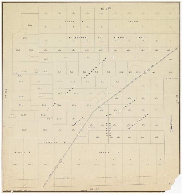

Print $20.00
- Digital $50.00
[Sketch showing subdivisions of Leagues 7-10]
1956
Size: 36.6 x 39.4 inches
89850
[Sketch showing School Lands]
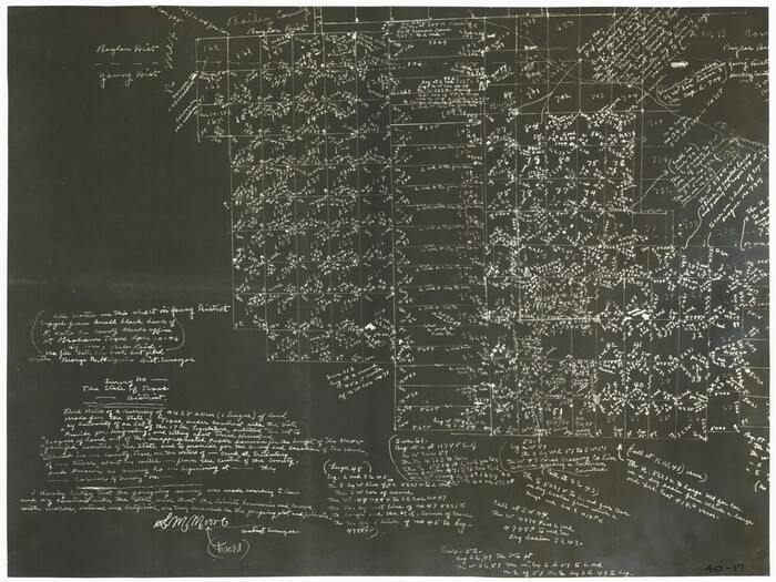

Print $20.00
- Digital $50.00
[Sketch showing School Lands]
Size: 24.1 x 18.1 inches
90286
[Sketch showing School Lands]
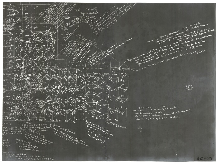

Print $20.00
- Digital $50.00
[Sketch showing School Lands]
Size: 16.3 x 12.2 inches
90448
[Sketch showing School Lands]
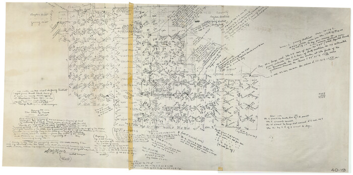

Print $20.00
- Digital $50.00
[Sketch showing School Lands]
Size: 25.4 x 12.5 inches
90449
[Sketch showing Capitol Lands]
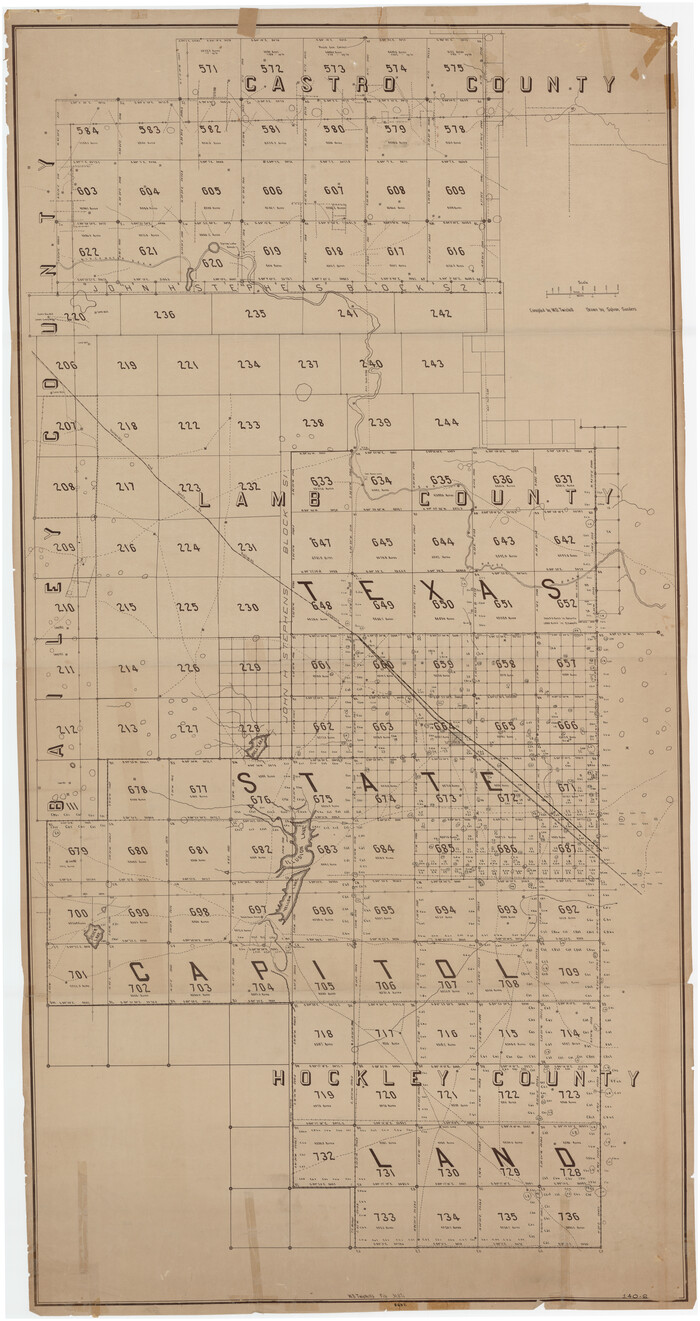

Print $40.00
- Digital $50.00
[Sketch showing Capitol Lands]
Size: 38.3 x 72.0 inches
89725
[Scurry and Zavala County School Lands, and Blocks X, D, K, D-14, D-11, and E]
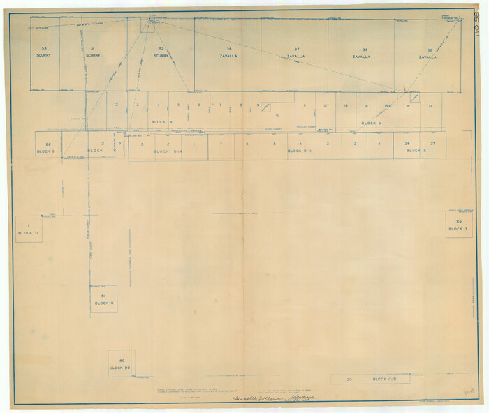

Print $20.00
- Digital $50.00
[Scurry and Zavala County School Lands, and Blocks X, D, K, D-14, D-11, and E]
Size: 43.7 x 37.2 inches
91201
[Rusk, Sutton, and Atascosa County School Lands]
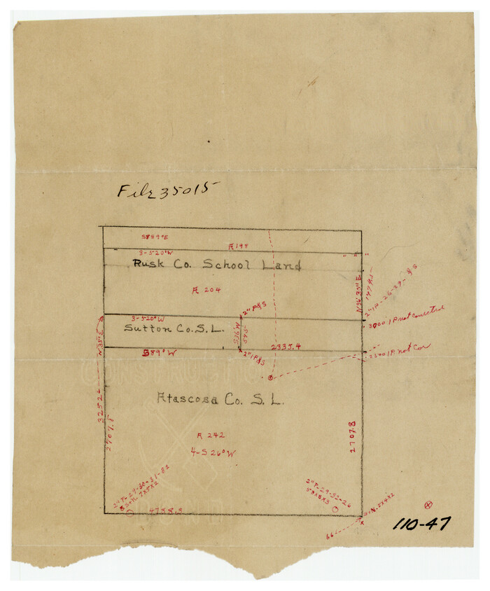

Print $2.00
- Digital $50.00
[Rusk, Sutton, and Atascosa County School Lands]
Size: 6.0 x 7.1 inches
91124
[Rusk, Sutton, Garza, and Atascosa County School Lands]
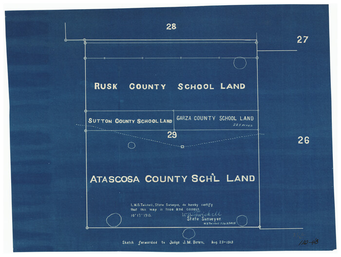

Print $3.00
- Digital $50.00
[Rusk, Sutton, Garza, and Atascosa County School Lands]
1913
Size: 12.5 x 9.4 inches
91125
[Rusk, Sutton, Garza, and Atascosa County School Lands]
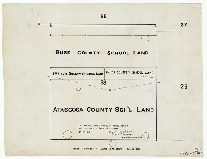

Print $20.00
- Digital $50.00
[Rusk, Sutton, Garza, and Atascosa County School Lands]
1913
Size: 18.8 x 14.5 inches
91219
[R. M. Thompson, Block A]
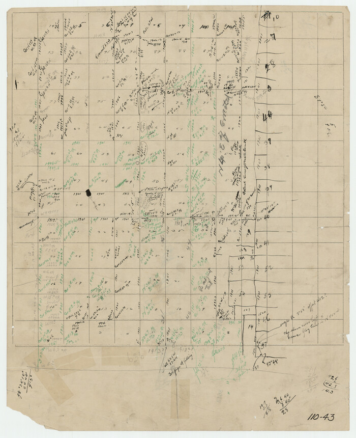

Print $3.00
- Digital $50.00
[R. M. Thompson, Block A]
Size: 9.6 x 11.8 inches
91129
[R. M. Thompson, Block A and Part of Jones County School Land]
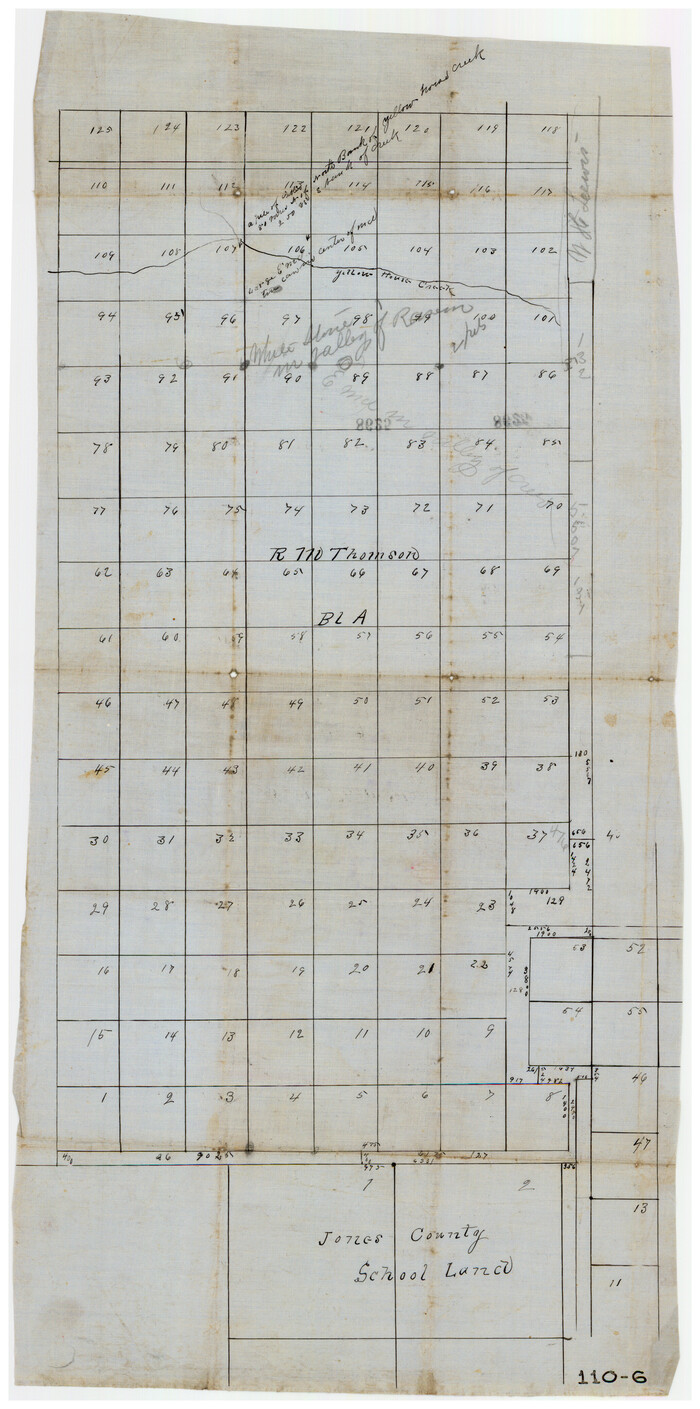

Print $20.00
- Digital $50.00
[R. M. Thompson, Block A and Part of Jones County School Land]
Size: 10.4 x 20.9 inches
91222
[R. M. Thompson Block A, Jones County School Land, and vicinity]
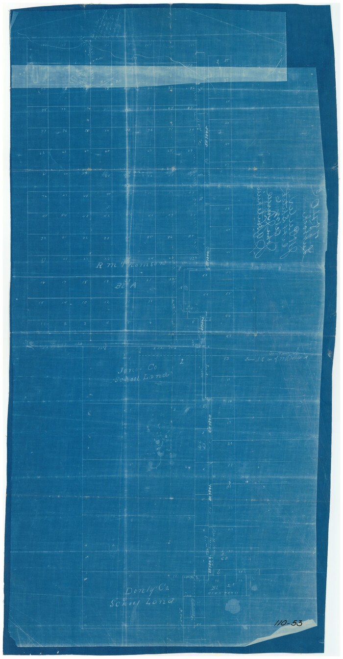

Print $20.00
- Digital $50.00
[R. M. Thompson Block A, Jones County School Land, and vicinity]
Size: 15.8 x 30.0 inches
91202
[Portion of R. M. Thompson Blocks 1 and 2]
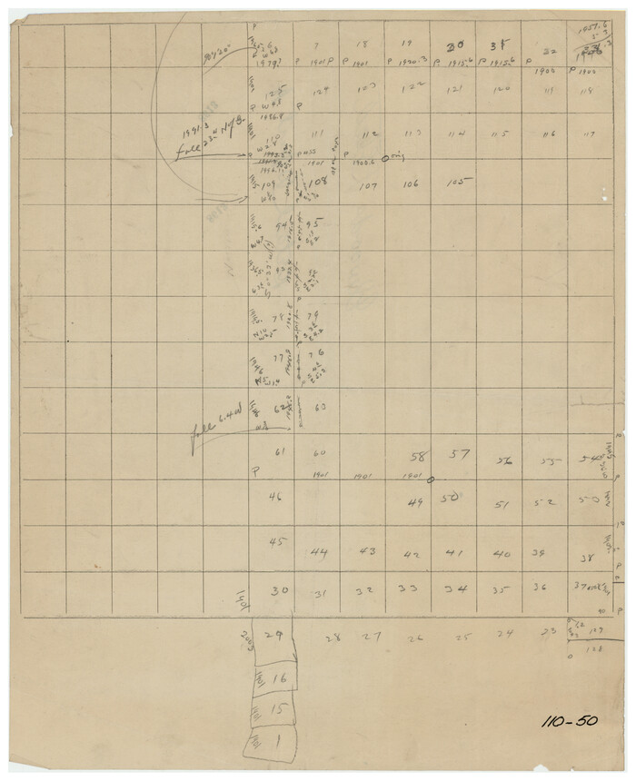

Print $3.00
- Digital $50.00
[Portion of R. M. Thompson Blocks 1 and 2]
Size: 9.5 x 11.7 inches
91122
[Northeast Portion of Hartley County]
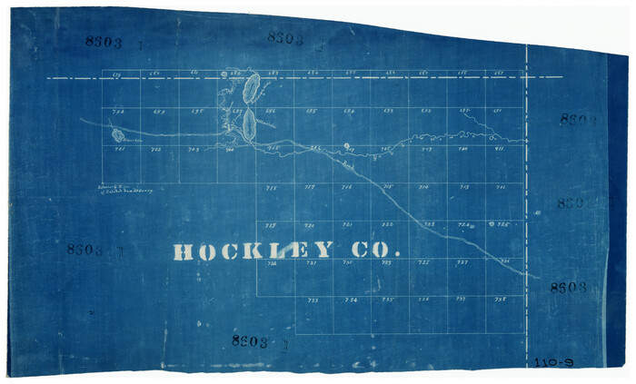

Print $2.00
- Digital $50.00
[Northeast Portion of Hartley County]
Size: 13.9 x 8.5 inches
91118
[Midland County School Land, Martin County School Land, and vicinity]
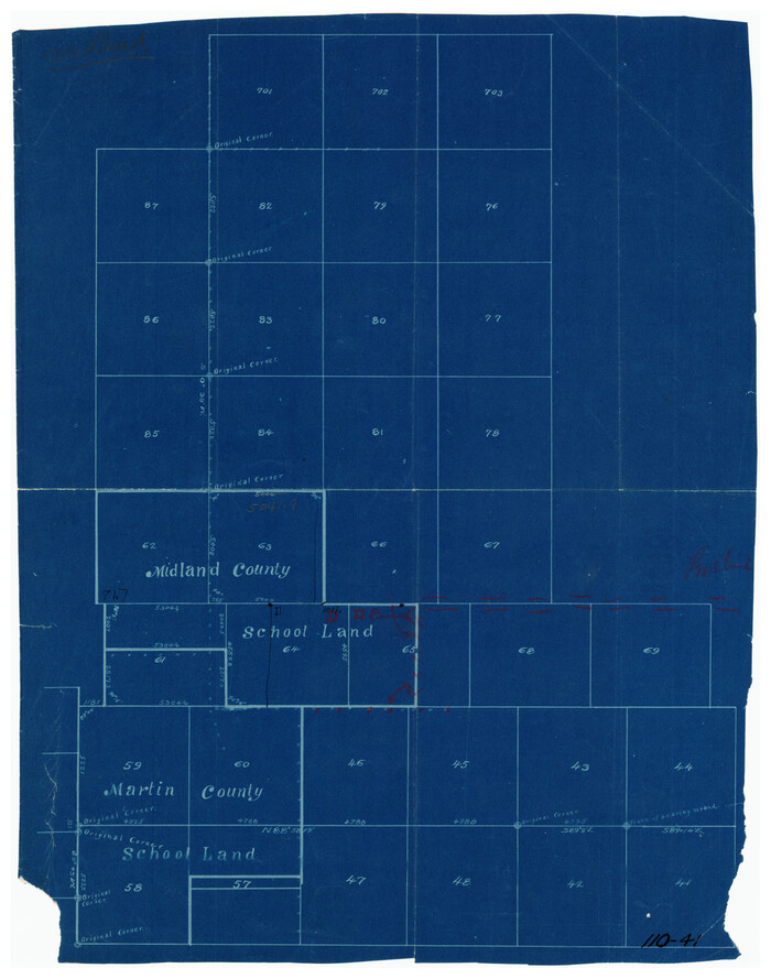

Print $2.00
- Digital $50.00
[Midland County School Land, Martin County School Land, and vicinity]
Size: 9.0 x 11.4 inches
91128
[Map of Texas Panhandle Counties and Adjacent New Mexico Counties]
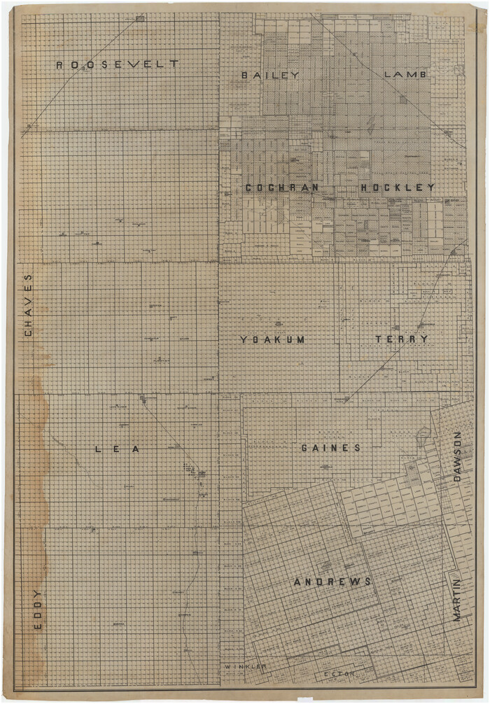

Print $40.00
- Digital $50.00
[Map of Texas Panhandle Counties and Adjacent New Mexico Counties]
Size: 44.5 x 63.8 inches
89906
[Map Showing Parmer, Castro, Bailey, Lamb, Cochran & Hockley Counties, Texas]
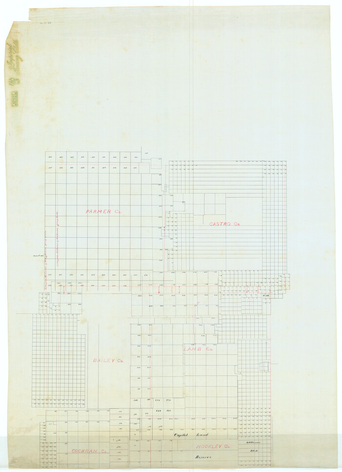

Print $40.00
- Digital $50.00
[Map Showing Parmer, Castro, Bailey, Lamb, Cochran & Hockley Counties, Texas]
1910
Size: 55.3 x 40.1 inches
1762
[Lgs. 180-183, 196-198, 105-112, 678-680, 699-701, 141-143]
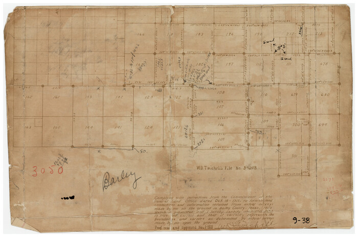

Print $3.00
- Digital $50.00
[Lgs. 180-183, 196-198, 105-112, 678-680, 699-701, 141-143]
1913
Size: 14.9 x 9.9 inches
90153
[Lgs. 180-183, 196-198, 105-112, 678-680, 699-701, 141-143]
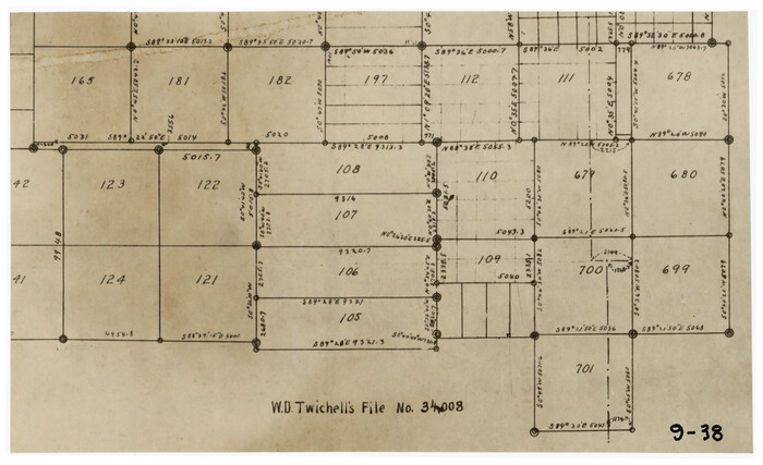

Print $2.00
- Digital $50.00
[Lgs. 180-183, 196-198, 105-112, 678-680, 699-701, 141-143]
1913
Size: 9.9 x 6.0 inches
90155
[Lgs. 180-183, 196-198, 105-112, 678-680, 699-701, 141-143]
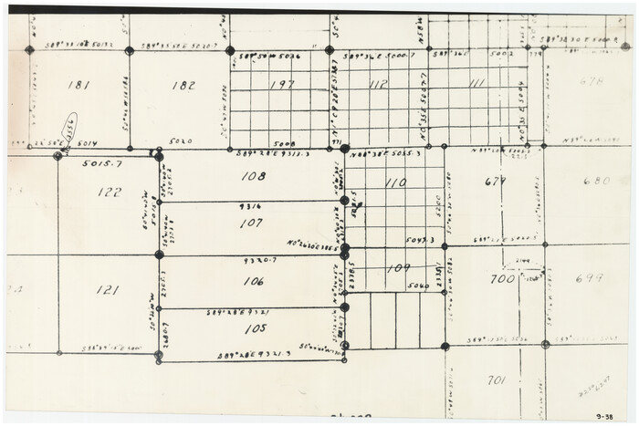

Print $20.00
- Digital $50.00
[Lgs. 180-183, 196-198, 105-112, 678-680, 699-701, 141-143]
1913
Size: 28.6 x 19.1 inches
90160
[Leagues 701-714 and vicinity]
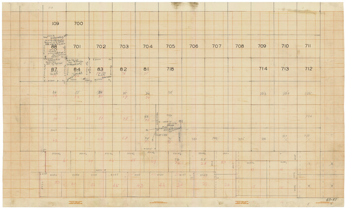

Print $20.00
- Digital $50.00
[Leagues 701-714 and vicinity]
Size: 37.7 x 22.8 inches
90460
[Working Sketch Showing Southwest Part of the County]
![91117, [Working Sketch Showing Southwest Part of the County], Twichell Survey Records](https://historictexasmaps.com/wmedia_w700/maps/91117-1.tif.jpg)
![91117, [Working Sketch Showing Southwest Part of the County], Twichell Survey Records](https://historictexasmaps.com/wmedia_w700/maps/91117-1.tif.jpg)
Print $2.00
- Digital $50.00
[Working Sketch Showing Southwest Part of the County]
1886
-
Size
14.9 x 9.0 inches
-
Map/Doc
91117
-
Creation Date
1886
[West Central Portion of County]
![91257, [West Central Portion of County], Twichell Survey Records](https://historictexasmaps.com/wmedia_w700/maps/91257-1.tif.jpg)
![91257, [West Central Portion of County], Twichell Survey Records](https://historictexasmaps.com/wmedia_w700/maps/91257-1.tif.jpg)
Print $20.00
- Digital $50.00
[West Central Portion of County]
-
Size
19.5 x 9.8 inches
-
Map/Doc
91257
[Various County School Lands]
![89928, [Various County School Lands], Twichell Survey Records](https://historictexasmaps.com/wmedia_w700/maps/89928-1.tif.jpg)
![89928, [Various County School Lands], Twichell Survey Records](https://historictexasmaps.com/wmedia_w700/maps/89928-1.tif.jpg)
Print $40.00
- Digital $50.00
[Various County School Lands]
-
Size
57.6 x 42.9 inches
-
Map/Doc
89928
[Various County School Land Leagues]
![89849, [Various County School Land Leagues], Twichell Survey Records](https://historictexasmaps.com/wmedia_w700/maps/89849-1.tif.jpg)
![89849, [Various County School Land Leagues], Twichell Survey Records](https://historictexasmaps.com/wmedia_w700/maps/89849-1.tif.jpg)
Print $40.00
- Digital $50.00
[Various County School Land Leagues]
-
Size
55.7 x 41.4 inches
-
Map/Doc
89849
[Tie Line, Zavala County School Land to North Line of Block D11, East and South to Double Lakes Corner]
![91868, [Tie Line, Zavala County School Land to North Line of Block D11, East and South to Double Lakes Corner], Twichell Survey Records](https://historictexasmaps.com/wmedia_w700/maps/91868-1.tif.jpg)
![91868, [Tie Line, Zavala County School Land to North Line of Block D11, East and South to Double Lakes Corner], Twichell Survey Records](https://historictexasmaps.com/wmedia_w700/maps/91868-1.tif.jpg)
Print $20.00
- Digital $50.00
[Tie Line, Zavala County School Land to North Line of Block D11, East and South to Double Lakes Corner]
1900
-
Size
18.5 x 12.6 inches
-
Map/Doc
91868
-
Creation Date
1900
[Texas State Capitol Land]
![89940, [Texas State Capitol Land], Twichell Survey Records](https://historictexasmaps.com/wmedia_w700/maps/89940-1.tif.jpg)
![89940, [Texas State Capitol Land], Twichell Survey Records](https://historictexasmaps.com/wmedia_w700/maps/89940-1.tif.jpg)
Print $40.00
- Digital $50.00
[Texas State Capitol Land]
-
Size
37.6 x 72.6 inches
-
Map/Doc
89940
[South part of Bailey County showing School Leagues]
![92991, [South part of Bailey County showing School Leagues], Twichell Survey Records](https://historictexasmaps.com/wmedia_w700/maps/92991-1.tif.jpg)
![92991, [South part of Bailey County showing School Leagues], Twichell Survey Records](https://historictexasmaps.com/wmedia_w700/maps/92991-1.tif.jpg)
Print $2.00
- Digital $50.00
[South part of Bailey County showing School Leagues]
1914
-
Size
5.9 x 7.6 inches
-
Map/Doc
92991
-
Creation Date
1914
[South part of Bailey County showing School Leagues]
![92992, [South part of Bailey County showing School Leagues], Twichell Survey Records](https://historictexasmaps.com/wmedia_w700/maps/92992-1.tif.jpg)
![92992, [South part of Bailey County showing School Leagues], Twichell Survey Records](https://historictexasmaps.com/wmedia_w700/maps/92992-1.tif.jpg)
Print $2.00
- Digital $50.00
[South part of Bailey County showing School Leagues]
1913
-
Size
12.1 x 8.1 inches
-
Map/Doc
92992
-
Creation Date
1913
[Sketch showing various County School Land Leagues]
![89736, [Sketch showing various County School Land Leagues], Twichell Survey Records](https://historictexasmaps.com/wmedia_w700/maps/89736-1.tif.jpg)
![89736, [Sketch showing various County School Land Leagues], Twichell Survey Records](https://historictexasmaps.com/wmedia_w700/maps/89736-1.tif.jpg)
Print $40.00
- Digital $50.00
[Sketch showing various County School Land Leagues]
-
Size
60.6 x 38.5 inches
-
Map/Doc
89736
[Sketch showing subdivisions of Leagues 7-10]
![89850, [Sketch showing subdivisions of Leagues 7-10], Twichell Survey Records](https://historictexasmaps.com/wmedia_w700/maps/89850-2.tif.jpg)
![89850, [Sketch showing subdivisions of Leagues 7-10], Twichell Survey Records](https://historictexasmaps.com/wmedia_w700/maps/89850-2.tif.jpg)
Print $20.00
- Digital $50.00
[Sketch showing subdivisions of Leagues 7-10]
1956
-
Size
36.6 x 39.4 inches
-
Map/Doc
89850
-
Creation Date
1956
[Sketch showing School Lands]
![90286, [Sketch showing School Lands], Twichell Survey Records](https://historictexasmaps.com/wmedia_w700/maps/90286-1.tif.jpg)
![90286, [Sketch showing School Lands], Twichell Survey Records](https://historictexasmaps.com/wmedia_w700/maps/90286-1.tif.jpg)
Print $20.00
- Digital $50.00
[Sketch showing School Lands]
-
Size
24.1 x 18.1 inches
-
Map/Doc
90286
[Sketch showing School Lands]
![90448, [Sketch showing School Lands], Twichell Survey Records](https://historictexasmaps.com/wmedia_w700/maps/90448-1.tif.jpg)
![90448, [Sketch showing School Lands], Twichell Survey Records](https://historictexasmaps.com/wmedia_w700/maps/90448-1.tif.jpg)
Print $20.00
- Digital $50.00
[Sketch showing School Lands]
-
Size
16.3 x 12.2 inches
-
Map/Doc
90448
[Sketch showing School Lands]
![90449, [Sketch showing School Lands], Twichell Survey Records](https://historictexasmaps.com/wmedia_w700/maps/90449-1.tif.jpg)
![90449, [Sketch showing School Lands], Twichell Survey Records](https://historictexasmaps.com/wmedia_w700/maps/90449-1.tif.jpg)
Print $20.00
- Digital $50.00
[Sketch showing School Lands]
-
Size
25.4 x 12.5 inches
-
Map/Doc
90449
[Sketch showing Capitol Lands]
![89725, [Sketch showing Capitol Lands], Twichell Survey Records](https://historictexasmaps.com/wmedia_w700/maps/89725-1.tif.jpg)
![89725, [Sketch showing Capitol Lands], Twichell Survey Records](https://historictexasmaps.com/wmedia_w700/maps/89725-1.tif.jpg)
Print $40.00
- Digital $50.00
[Sketch showing Capitol Lands]
-
Size
38.3 x 72.0 inches
-
Map/Doc
89725
[Scurry and Zavala County School Lands, and Blocks X, D, K, D-14, D-11, and E]
![91201, [Scurry and Zavala County School Lands, and Blocks X, D, K, D-14, D-11, and E], Twichell Survey Records](https://historictexasmaps.com/wmedia_w700/maps/91201-1.tif.jpg)
![91201, [Scurry and Zavala County School Lands, and Blocks X, D, K, D-14, D-11, and E], Twichell Survey Records](https://historictexasmaps.com/wmedia_w700/maps/91201-1.tif.jpg)
Print $20.00
- Digital $50.00
[Scurry and Zavala County School Lands, and Blocks X, D, K, D-14, D-11, and E]
-
Size
43.7 x 37.2 inches
-
Map/Doc
91201
[Rusk, Sutton, and Atascosa County School Lands]
![91124, [Rusk, Sutton, and Atascosa County School Lands], Twichell Survey Records](https://historictexasmaps.com/wmedia_w700/maps/91124-1.tif.jpg)
![91124, [Rusk, Sutton, and Atascosa County School Lands], Twichell Survey Records](https://historictexasmaps.com/wmedia_w700/maps/91124-1.tif.jpg)
Print $2.00
- Digital $50.00
[Rusk, Sutton, and Atascosa County School Lands]
-
Size
6.0 x 7.1 inches
-
Map/Doc
91124
[Rusk, Sutton, Garza, and Atascosa County School Lands]
![91125, [Rusk, Sutton, Garza, and Atascosa County School Lands], Twichell Survey Records](https://historictexasmaps.com/wmedia_w700/maps/91125-1.tif.jpg)
![91125, [Rusk, Sutton, Garza, and Atascosa County School Lands], Twichell Survey Records](https://historictexasmaps.com/wmedia_w700/maps/91125-1.tif.jpg)
Print $3.00
- Digital $50.00
[Rusk, Sutton, Garza, and Atascosa County School Lands]
1913
-
Size
12.5 x 9.4 inches
-
Map/Doc
91125
-
Creation Date
1913
[Rusk, Sutton, Garza, and Atascosa County School Lands]
![91219, [Rusk, Sutton, Garza, and Atascosa County School Lands], Twichell Survey Records](https://historictexasmaps.com/wmedia_w700/maps/91219-1.tif.jpg)
![91219, [Rusk, Sutton, Garza, and Atascosa County School Lands], Twichell Survey Records](https://historictexasmaps.com/wmedia_w700/maps/91219-1.tif.jpg)
Print $20.00
- Digital $50.00
[Rusk, Sutton, Garza, and Atascosa County School Lands]
1913
-
Size
18.8 x 14.5 inches
-
Map/Doc
91219
-
Creation Date
1913
[R. M. Thompson, Block A]
![91129, [R. M. Thompson, Block A], Twichell Survey Records](https://historictexasmaps.com/wmedia_w700/maps/91129-1.tif.jpg)
![91129, [R. M. Thompson, Block A], Twichell Survey Records](https://historictexasmaps.com/wmedia_w700/maps/91129-1.tif.jpg)
Print $3.00
- Digital $50.00
[R. M. Thompson, Block A]
-
Size
9.6 x 11.8 inches
-
Map/Doc
91129
[R. M. Thompson, Block A and Part of Jones County School Land]
![91222, [R. M. Thompson, Block A and Part of Jones County School Land], Twichell Survey Records](https://historictexasmaps.com/wmedia_w700/maps/91222-1.tif.jpg)
![91222, [R. M. Thompson, Block A and Part of Jones County School Land], Twichell Survey Records](https://historictexasmaps.com/wmedia_w700/maps/91222-1.tif.jpg)
Print $20.00
- Digital $50.00
[R. M. Thompson, Block A and Part of Jones County School Land]
-
Size
10.4 x 20.9 inches
-
Map/Doc
91222
[R. M. Thompson Block A, Jones County School Land, and vicinity]
![91202, [R. M. Thompson Block A, Jones County School Land, and vicinity], Twichell Survey Records](https://historictexasmaps.com/wmedia_w700/maps/91202-1.tif.jpg)
![91202, [R. M. Thompson Block A, Jones County School Land, and vicinity], Twichell Survey Records](https://historictexasmaps.com/wmedia_w700/maps/91202-1.tif.jpg)
Print $20.00
- Digital $50.00
[R. M. Thompson Block A, Jones County School Land, and vicinity]
-
Size
15.8 x 30.0 inches
-
Map/Doc
91202
[Portion of R. M. Thompson Blocks 1 and 2]
![91122, [Portion of R. M. Thompson Blocks 1 and 2], Twichell Survey Records](https://historictexasmaps.com/wmedia_w700/maps/91122-1.tif.jpg)
![91122, [Portion of R. M. Thompson Blocks 1 and 2], Twichell Survey Records](https://historictexasmaps.com/wmedia_w700/maps/91122-1.tif.jpg)
Print $3.00
- Digital $50.00
[Portion of R. M. Thompson Blocks 1 and 2]
-
Size
9.5 x 11.7 inches
-
Map/Doc
91122
[Northeast Portion of Hartley County]
![91118, [Northeast Portion of Hartley County], Twichell Survey Records](https://historictexasmaps.com/wmedia_w700/maps/91118-1.tif.jpg)
![91118, [Northeast Portion of Hartley County], Twichell Survey Records](https://historictexasmaps.com/wmedia_w700/maps/91118-1.tif.jpg)
Print $2.00
- Digital $50.00
[Northeast Portion of Hartley County]
-
Size
13.9 x 8.5 inches
-
Map/Doc
91118
[Midland County School Land, Martin County School Land, and vicinity]
![91128, [Midland County School Land, Martin County School Land, and vicinity], Twichell Survey Records](https://historictexasmaps.com/wmedia_w700/maps/91128-1.tif.jpg)
![91128, [Midland County School Land, Martin County School Land, and vicinity], Twichell Survey Records](https://historictexasmaps.com/wmedia_w700/maps/91128-1.tif.jpg)
Print $2.00
- Digital $50.00
[Midland County School Land, Martin County School Land, and vicinity]
-
Size
9.0 x 11.4 inches
-
Map/Doc
91128
[Map of Texas Panhandle Counties and Adjacent New Mexico Counties]
![89906, [Map of Texas Panhandle Counties and Adjacent New Mexico Counties], Twichell Survey Records](https://historictexasmaps.com/wmedia_w700/maps/89906-2.tif.jpg)
![89906, [Map of Texas Panhandle Counties and Adjacent New Mexico Counties], Twichell Survey Records](https://historictexasmaps.com/wmedia_w700/maps/89906-2.tif.jpg)
Print $40.00
- Digital $50.00
[Map of Texas Panhandle Counties and Adjacent New Mexico Counties]
-
Size
44.5 x 63.8 inches
-
Map/Doc
89906
[Map Showing Parmer, Castro, Bailey, Lamb, Cochran & Hockley Counties, Texas]
![1762, [Map Showing Parmer, Castro, Bailey, Lamb, Cochran & Hockley Counties, Texas], General Map Collection](https://historictexasmaps.com/wmedia_w700/maps/1762.tif.jpg)
![1762, [Map Showing Parmer, Castro, Bailey, Lamb, Cochran & Hockley Counties, Texas], General Map Collection](https://historictexasmaps.com/wmedia_w700/maps/1762.tif.jpg)
Print $40.00
- Digital $50.00
[Map Showing Parmer, Castro, Bailey, Lamb, Cochran & Hockley Counties, Texas]
1910
-
Size
55.3 x 40.1 inches
-
Map/Doc
1762
-
Creation Date
1910
[Lgs. 180-183, 196-198, 105-112, 678-680, 699-701, 141-143]
![90153, [Lgs. 180-183, 196-198, 105-112, 678-680, 699-701, 141-143], Twichell Survey Records](https://historictexasmaps.com/wmedia_w700/maps/90153-1.tif.jpg)
![90153, [Lgs. 180-183, 196-198, 105-112, 678-680, 699-701, 141-143], Twichell Survey Records](https://historictexasmaps.com/wmedia_w700/maps/90153-1.tif.jpg)
Print $3.00
- Digital $50.00
[Lgs. 180-183, 196-198, 105-112, 678-680, 699-701, 141-143]
1913
-
Size
14.9 x 9.9 inches
-
Map/Doc
90153
-
Creation Date
1913
[Lgs. 180-183, 196-198, 105-112, 678-680, 699-701, 141-143]
![90155, [Lgs. 180-183, 196-198, 105-112, 678-680, 699-701, 141-143], Twichell Survey Records](https://historictexasmaps.com/wmedia_w700/maps/90155-1.tif.jpg)
![90155, [Lgs. 180-183, 196-198, 105-112, 678-680, 699-701, 141-143], Twichell Survey Records](https://historictexasmaps.com/wmedia_w700/maps/90155-1.tif.jpg)
Print $2.00
- Digital $50.00
[Lgs. 180-183, 196-198, 105-112, 678-680, 699-701, 141-143]
1913
-
Size
9.9 x 6.0 inches
-
Map/Doc
90155
-
Creation Date
1913
[Lgs. 180-183, 196-198, 105-112, 678-680, 699-701, 141-143]
![90160, [Lgs. 180-183, 196-198, 105-112, 678-680, 699-701, 141-143], Twichell Survey Records](https://historictexasmaps.com/wmedia_w700/maps/90160-1.tif.jpg)
![90160, [Lgs. 180-183, 196-198, 105-112, 678-680, 699-701, 141-143], Twichell Survey Records](https://historictexasmaps.com/wmedia_w700/maps/90160-1.tif.jpg)
Print $20.00
- Digital $50.00
[Lgs. 180-183, 196-198, 105-112, 678-680, 699-701, 141-143]
1913
-
Size
28.6 x 19.1 inches
-
Map/Doc
90160
-
Creation Date
1913
[Leagues 701-714 and vicinity]
![90460, [Leagues 701-714 and vicinity], Twichell Survey Records](https://historictexasmaps.com/wmedia_w700/maps/90460-1.tif.jpg)
![90460, [Leagues 701-714 and vicinity], Twichell Survey Records](https://historictexasmaps.com/wmedia_w700/maps/90460-1.tif.jpg)
Print $20.00
- Digital $50.00
[Leagues 701-714 and vicinity]
-
Size
37.7 x 22.8 inches
-
Map/Doc
90460