159 results

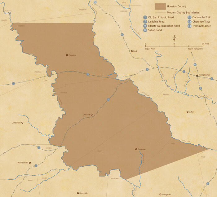
The Republic County of Houston. Created, June 12, 1837
96178.tif
Print $20.00 - Digital $50.00

The Republic County of Houston. Created, June 12, 1837

2020

Size: 9.8 x 10.8 inches
96178
The Republic County of Houston. January 30, 1841
96179.tif
Print $20.00 - Digital $50.00

The Republic County of Houston. January 30, 1841

2020
Size: 9.8 x 10.9 inches
96179
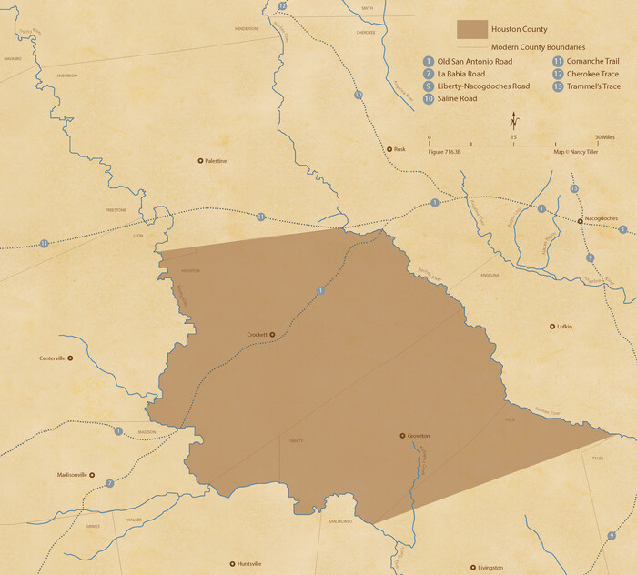
The Republic County of Houston. December 6, 1841
96180.tif
Print $20.00 - Digital $50.00

The Republic County of Houston. December 6, 1841

2020
Size: 9.8 x 10.9 inches
96180
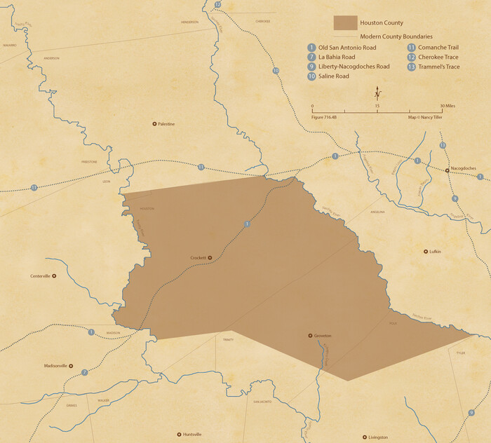
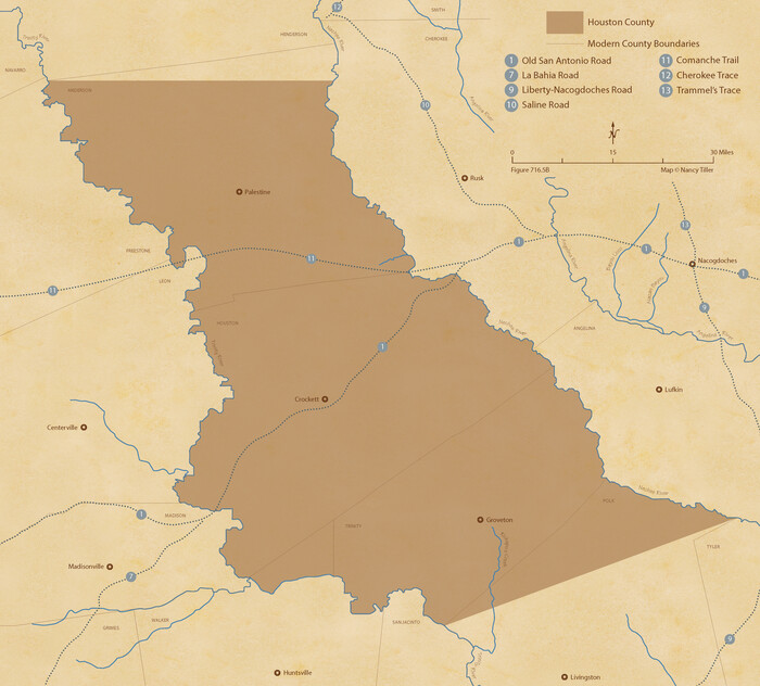
The Republic County of Houston. February 2, 1842
96181.tif
Print $20.00 - Digital $50.00

The Republic County of Houston. February 2, 1842

2020
Size: 9.8 x 10.9 inches
96181
The Republic County of Houston. Spring 1842
96182.tif
Print $20.00 - Digital $50.00

The Republic County of Houston. Spring 1842

2020

Size: 9.8 x 10.9 inches
96182
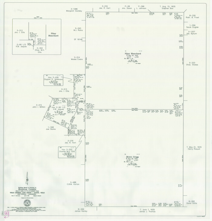
The Republic County of Houston. December 29, 1845
96183.tif
Print $20.00 - Digital $50.00

The Republic County of Houston. December 29, 1845

2020
Size: 9.8 x 10.9 inches
96183
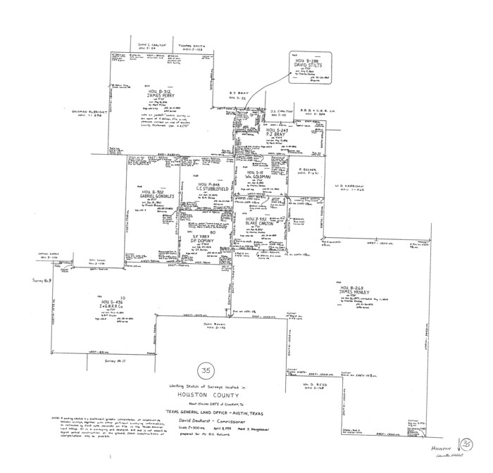
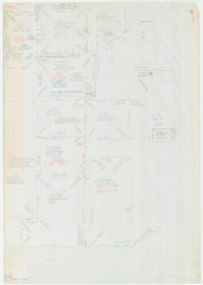
Houston County Working Sketch 38
88813.tif
Print $20.00 - Digital $50.00

Houston County Working Sketch 38

2008

Size: 37.8 x 36.2 inches
88813
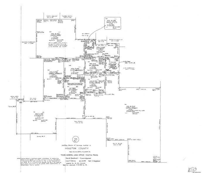
Houston County Working Sketch 37
83627.tif
Print $20.00 - Digital $50.00

Houston County Working Sketch 37

2006

Size: 33.0 x 40.0 inches
83627
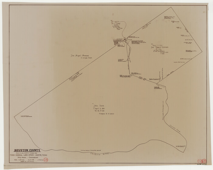
Trinity County Rolled Sketch 6
8053.tif
Print $20.00 - Digital $50.00

Trinity County Rolled Sketch 6

1999

Size: 25.0 x 19.3 inches
8053
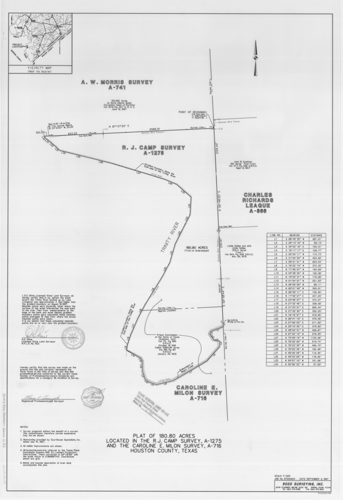
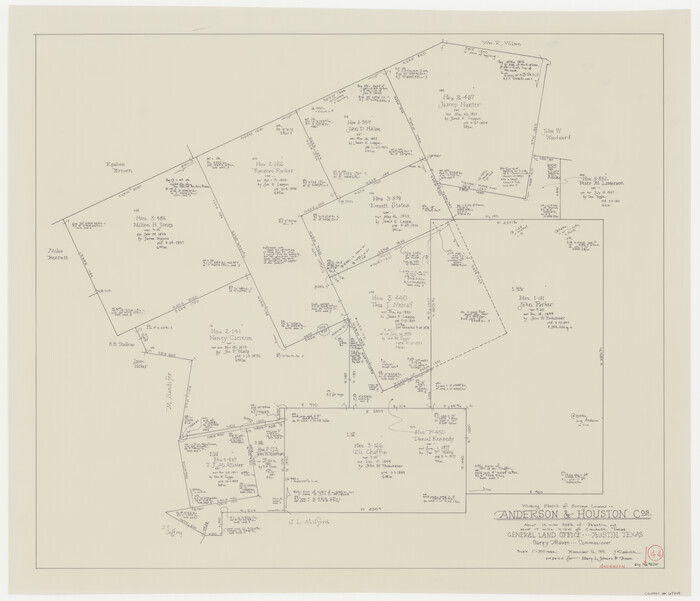
Houston County State Real Property Sketch 1
80129, Houston County State Real Property Sketch 1, General Map Collection
Print $20.00 - Digital $50.00

Houston County State Real Property Sketch 1

1997
Size: 35.5 x 24.4 inches
80129
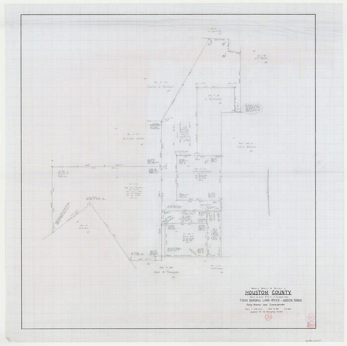
Anderson County Working Sketch 44
67044.tif
Print $20.00 - Digital $50.00

Anderson County Working Sketch 44

1991
Size: 27.7 x 32.3 inches
67044
Houston County Rolled Sketch 10
6230.tif
Print $20.00 - Digital $50.00

Houston County Rolled Sketch 10

1988

Size: 31.9 x 25.3 inches
6230
Houston County Rolled Sketch 11
6231.tif
Print $20.00 - Digital $50.00

Houston County Rolled Sketch 11

1988

Size: 29.9 x 22.9 inches
6231
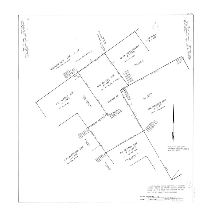
Houston County Rolled Sketch 9
6229.tif
Print $20.00 - Digital $50.00

Houston County Rolled Sketch 9

1980

Size: 27.5 x 26.6 inches
6229
Anderson County Rolled Sketch 13
77158.tif
Print $20.00 - Digital $50.00

Anderson County Rolled Sketch 13

1964

Size: 19.8 x 32.2 inches
77158
Houston County Rolled Sketch 6
9182.tif
Print $40.00 - Digital $50.00

Houston County Rolled Sketch 6

1963

Size: 48.0 x 34.3 inches
9182
General Highway Map, Houston County, Texas
79524.tif
Print $20.00

General Highway Map, Houston County, Texas

1961

Size: 24.6 x 18.3 inches
79524
General Highway Map, Houston County, Texas
79525.tif
Print $20.00

General Highway Map, Houston County, Texas

1961

Size: 24.7 x 18.2 inches
79525
Houston County Rolled Sketch 5
6227.tif
Print $20.00 - Digital $50.00

Houston County Rolled Sketch 5

1960

Size: 28.3 x 40.8 inches
6227
Anderson County Working Sketch 23
67023.tif
Print $20.00 - Digital $50.00

Anderson County Working Sketch 23

1958

Size: 23.1 x 24.8 inches
67023
Houston County Rolled Sketch 8
6228-GC.tif
Print $20.00 - Digital $50.00

Houston County Rolled Sketch 8

1948

Size: 27.7 x 20.3 inches
6228
Houston County Sketch File 36
26817, Houston County Sketch File 36, General Map Collection
Print $40.00 - Digital $50.00

Houston County Sketch File 36

1945

Size: 15.6 x 14.2 inches
26817
Houston County
1859-GC.tif
Print $40.00 - Digital $50.00

Houston County

1944

Size: 48.3 x 49.7 inches
1859
Houston County
73184.tif
Print $40.00 - Digital $50.00

Houston County

1944

Size: 50.3 x 50.3 inches
73184
Houston County
76037.tif
Print $40.00 - Digital $50.00

Houston County

1944

Size: 49.3 x 51.0 inches
76037
Houston County Working Sketch Graphic Index
76582.tif
Print $40.00 - Digital $50.00

Houston County Working Sketch Graphic Index

1944

Size: 48.1 x 42.7 inches
76582
East Part of Houston County
77316.tif
Print $40.00 - Digital $50.00

East Part of Houston County

1944

Size: 49.0 x 42.1 inches
77316
West Part Houston Co.
77317.tif
Print $20.00 - Digital $50.00

West Part Houston Co.

1944

Size: 47.2 x 41.6 inches
77317
Houston County
95534.tif
Print $40.00 - Digital $50.00

Houston County

1944

Size: 52.4 x 52.2 inches
95534
General Highway Map, Houston County, Texas
79132.tif
Print $20.00

General Highway Map, Houston County, Texas

1940

Size: 25.0 x 18.6 inches
79132
The Republic County of Houston. Created, June 12, 1837
96178, The Republic County of Houston. Created, June 12, 1837, Nancy and Jim Tiller Digital Collection
Print $20.00 - Digital $50.00

The Republic County of Houston. Created, June 12, 1837

2020

  • Size

    9.8 x 10.8 inches

  • Map/Doc

    96178

  • Creation Date

    2020

The Republic County of Houston. January 30, 1841
96179, The Republic County of Houston. January 30, 1841, Nancy and Jim Tiller Digital Collection
Print $20.00 - Digital $50.00

The Republic County of Houston. January 30, 1841

2020

  • Size

    9.8 x 10.9 inches

  • Map/Doc

    96179

  • Creation Date

    2020

The Republic County of Houston. December 6, 1841
96180, The Republic County of Houston. December 6, 1841, Nancy and Jim Tiller Digital Collection
Print $20.00 - Digital $50.00

The Republic County of Houston. December 6, 1841

2020

  • Size

    9.8 x 10.9 inches

  • Map/Doc

    96180

  • Creation Date

    2020

The Republic County of Houston. February 2, 1842
96181, The Republic County of Houston. February 2, 1842, Nancy and Jim Tiller Digital Collection
Print $20.00 - Digital $50.00

The Republic County of Houston. February 2, 1842

2020

  • Size

    9.8 x 10.9 inches

  • Map/Doc

    96181

  • Creation Date

    2020

The Republic County of Houston. Spring 1842
96182, The Republic County of Houston. Spring 1842, Nancy and Jim Tiller Digital Collection
Print $20.00 - Digital $50.00

The Republic County of Houston. Spring 1842

2020

  • Size

    9.8 x 10.9 inches

  • Map/Doc

    96182

  • Creation Date

    2020

The Republic County of Houston. December 29, 1845
96183, The Republic County of Houston. December 29, 1845, Nancy and Jim Tiller Digital Collection
Print $20.00 - Digital $50.00

The Republic County of Houston. December 29, 1845

2020

  • Size

    9.8 x 10.9 inches

  • Map/Doc

    96183

  • Creation Date

    2020

Houston County Working Sketch 38
88813, Houston County Working Sketch 38, General Map Collection
Print $20.00 - Digital $50.00

Houston County Working Sketch 38

2008

  • Size

    37.8 x 36.2 inches

  • Map/Doc

    88813

  • Creation Date

    2008

Houston County Working Sketch 37
83627, Houston County Working Sketch 37, General Map Collection
Print $20.00 - Digital $50.00

Houston County Working Sketch 37

2006

  • Size

    33.0 x 40.0 inches

  • Map/Doc

    83627

  • Creation Date

    2006

Trinity County Rolled Sketch 6
8053, Trinity County Rolled Sketch 6, General Map Collection
Print $20.00 - Digital $50.00

Trinity County Rolled Sketch 6

1999

  • Size

    25.0 x 19.3 inches

  • Map/Doc

    8053

  • Creation Date

    1999

Houston County State Real Property Sketch 1
80129, Houston County State Real Property Sketch 1, General Map Collection
Print $20.00 - Digital $50.00

Houston County State Real Property Sketch 1

1997

  • Size

    35.5 x 24.4 inches

  • Map/Doc

    80129

  • Creation Date

    1997

Anderson County Working Sketch 44
67044, Anderson County Working Sketch 44, General Map Collection
Print $20.00 - Digital $50.00

Anderson County Working Sketch 44

1991

  • Size

    27.7 x 32.3 inches

  • Map/Doc

    67044

  • Creation Date

    1991

Houston County Rolled Sketch 10
6230, Houston County Rolled Sketch 10, General Map Collection
Print $20.00 - Digital $50.00

Houston County Rolled Sketch 10

1988

  • Size

    31.9 x 25.3 inches

  • Map/Doc

    6230

  • Creation Date

    1988

Houston County Rolled Sketch 11
6231, Houston County Rolled Sketch 11, General Map Collection
Print $20.00 - Digital $50.00

Houston County Rolled Sketch 11

1988

  • Size

    29.9 x 22.9 inches

  • Map/Doc

    6231

  • Creation Date

    1988

Houston County Rolled Sketch 9
6229, Houston County Rolled Sketch 9, General Map Collection
Print $20.00 - Digital $50.00

Houston County Rolled Sketch 9

1980

  • Size

    27.5 x 26.6 inches

  • Map/Doc

    6229

  • Creation Date

    1980

Anderson County Rolled Sketch 13
77158, Anderson County Rolled Sketch 13, General Map Collection
Print $20.00 - Digital $50.00

Anderson County Rolled Sketch 13

1964

  • Size

    19.8 x 32.2 inches

  • Map/Doc

    77158

  • Creation Date

    1964

Houston County Rolled Sketch 6
9182, Houston County Rolled Sketch 6, General Map Collection
Print $40.00 - Digital $50.00

Houston County Rolled Sketch 6

1963

  • Size

    48.0 x 34.3 inches

  • Map/Doc

    9182

  • Creation Date

    1963

General Highway Map, Houston County, Texas
79524, General Highway Map, Houston County, Texas, Texas State Library and Archives
Print $20.00

General Highway Map, Houston County, Texas

1961

  • Size

    24.6 x 18.3 inches

  • Map/Doc

    79524

  • Creation Date

    1961

General Highway Map, Houston County, Texas
79525, General Highway Map, Houston County, Texas, Texas State Library and Archives
Print $20.00

General Highway Map, Houston County, Texas

1961

  • Size

    24.7 x 18.2 inches

  • Map/Doc

    79525

  • Creation Date

    1961

Houston County Rolled Sketch 5
6227, Houston County Rolled Sketch 5, General Map Collection
Print $20.00 - Digital $50.00

Houston County Rolled Sketch 5

1960

  • Size

    28.3 x 40.8 inches

  • Map/Doc

    6227

  • Creation Date

    1960

Anderson County Working Sketch 23
67023, Anderson County Working Sketch 23, General Map Collection
Print $20.00 - Digital $50.00

Anderson County Working Sketch 23

1958

  • Size

    23.1 x 24.8 inches

  • Map/Doc

    67023

  • Creation Date

    1958

Houston County Rolled Sketch 8
6228, Houston County Rolled Sketch 8, General Map Collection
Print $20.00 - Digital $50.00

Houston County Rolled Sketch 8

1948

  • Size

    27.7 x 20.3 inches

  • Map/Doc

    6228

  • Creation Date

    1948

Houston County Sketch File 36
26817, Houston County Sketch File 36, General Map Collection
Print $40.00 - Digital $50.00

Houston County Sketch File 36

1945

  • Size

    15.6 x 14.2 inches

  • Map/Doc

    26817

  • Creation Date

    1945

Houston County
1859, Houston County, General Map Collection
Print $40.00 - Digital $50.00

Houston County

1944

  • Size

    48.3 x 49.7 inches

  • Map/Doc

    1859

  • Creation Date

    1944

Houston County
73184, Houston County, General Map Collection
Print $40.00 - Digital $50.00

Houston County

1944

  • Size

    50.3 x 50.3 inches

  • Map/Doc

    73184

  • Creation Date

    1944

Houston County
76037, Houston County, General Map Collection
Print $40.00 - Digital $50.00

Houston County

1944

  • Size

    49.3 x 51.0 inches

  • Map/Doc

    76037

  • Creation Date

    1944

Houston County Working Sketch Graphic Index
76582, Houston County Working Sketch Graphic Index, General Map Collection
Print $40.00 - Digital $50.00

Houston County Working Sketch Graphic Index

1944

  • Size

    48.1 x 42.7 inches

  • Map/Doc

    76582

  • Creation Date

    1944

East Part of Houston County
77316, East Part of Houston County, General Map Collection
Print $40.00 - Digital $50.00

East Part of Houston County

1944

  • Size

    49.0 x 42.1 inches

  • Map/Doc

    77316

  • Creation Date

    1944

West Part Houston Co.
77317, West Part Houston Co., General Map Collection
Print $20.00 - Digital $50.00

West Part Houston Co.

1944

  • Size

    47.2 x 41.6 inches

  • Map/Doc

    77317

  • Creation Date

    1944

Houston County
95534, Houston County, General Map Collection
Print $40.00 - Digital $50.00

Houston County

1944

  • Size

    52.4 x 52.2 inches

  • Map/Doc

    95534

  • Creation Date

    1944

General Highway Map, Houston County, Texas
79132, General Highway Map, Houston County, Texas, Texas State Library and Archives
Print $20.00

General Highway Map, Houston County, Texas

1940

  • Size

    25.0 x 18.6 inches

  • Map/Doc

    79132

  • Creation Date

    1940