
Clay County Boundary File 19
1924
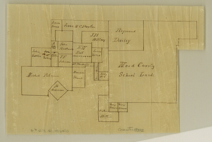
Clay County Sketch File 4
1854

Foard County Sketch File 2

General Highway Map, Jack County, Texas
1940
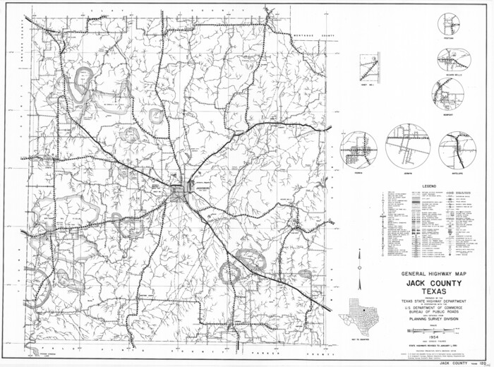
General Highway Map, Jack County, Texas
1961

Gulf, Texas & Western Railway
1909

Gulf, Texas & Western Railway
1909

Gulf, Texas & Western Railway
1913

Gulf, Texas & Western Railway
1913
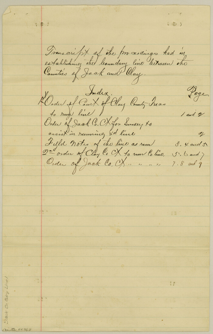
Jack County Boundary File 1
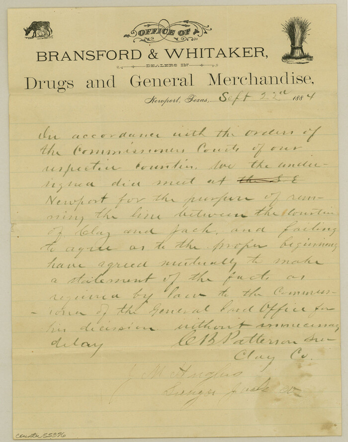
Jack County Boundary File 1a

Jack County Boundary File 2

Jack County Boundary File 3

Jack County Boundary File 3a

Jack County Boundary File 3b
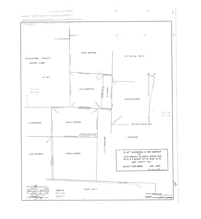
Jack County Rolled Sketch 1
1963

Jack County Rolled Sketch 2
1972
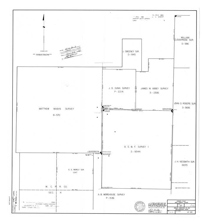
Jack County Rolled Sketch 3
1985
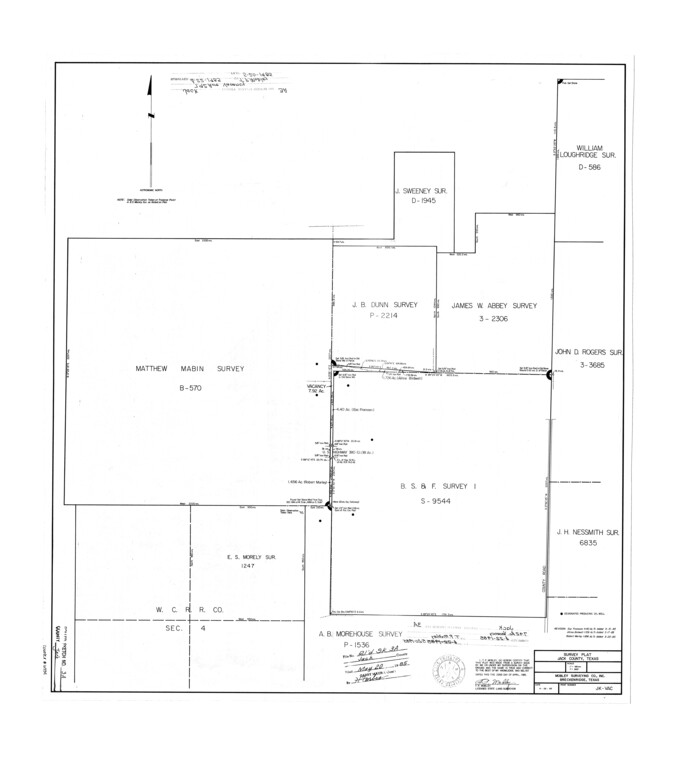
Jack County Rolled Sketch 3A
1985
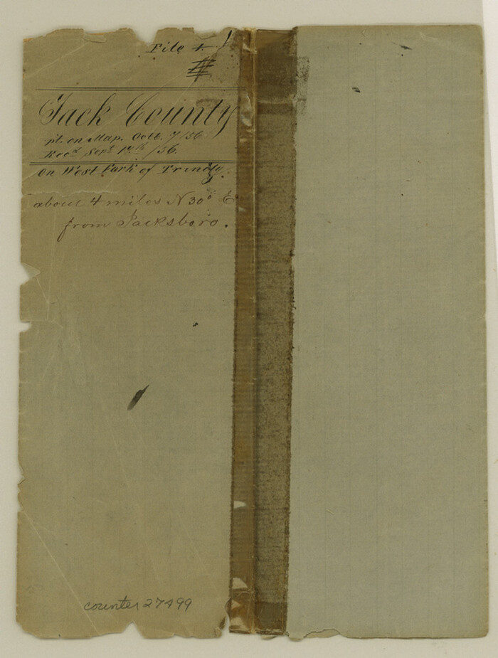
Jack County Sketch File 1

Jack County Sketch File 10
1857

Jack County Sketch File 10a
1858

Jack County Sketch File 11
1858

Jack County Sketch File 12

Clay County Boundary File 19
1924
-
Size
3.3 x 5.5 inches
-
Map/Doc
65511
-
Creation Date
1924

Clay County Sketch File 4
1854
-
Size
5.0 x 7.5 inches
-
Map/Doc
18392
-
Creation Date
1854

Foard County Sketch File 2
-
Size
23.8 x 16.3 inches
-
Map/Doc
11490

General Highway Map, Jack County, Texas
1940
-
Size
18.4 x 24.8 inches
-
Map/Doc
79139
-
Creation Date
1940

General Highway Map, Jack County, Texas
1961
-
Size
18.2 x 24.5 inches
-
Map/Doc
79532
-
Creation Date
1961

Gulf, Texas & Western Railway
1909
-
Size
18.5 x 121.0 inches
-
Map/Doc
64430
-
Creation Date
1909

Gulf, Texas & Western Railway
1909
-
Size
18.7 x 103.5 inches
-
Map/Doc
64431
-
Creation Date
1909

Gulf, Texas & Western Railway
1913
-
Size
19.4 x 61.3 inches
-
Map/Doc
64440
-
Creation Date
1913

Gulf, Texas & Western Railway
1913
-
Size
19.8 x 64.7 inches
-
Map/Doc
64441
-
Creation Date
1913

Jack County
1925
-
Size
47.7 x 36.9 inches
-
Map/Doc
1865
-
Creation Date
1925

Jack County
1859
-
Size
20.2 x 18.4 inches
-
Map/Doc
3700
-
Creation Date
1859
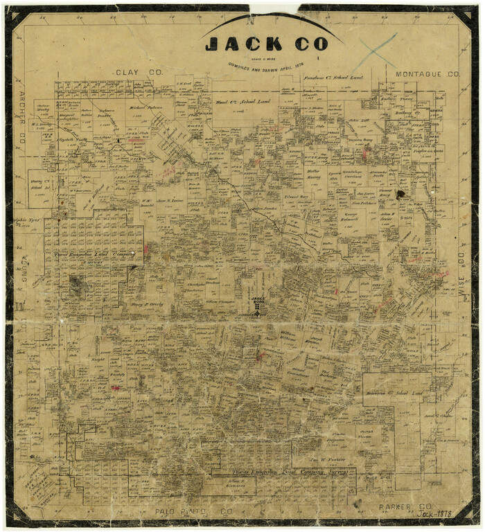
Jack County
1878
-
Size
19.4 x 17.6 inches
-
Map/Doc
3705
-
Creation Date
1878
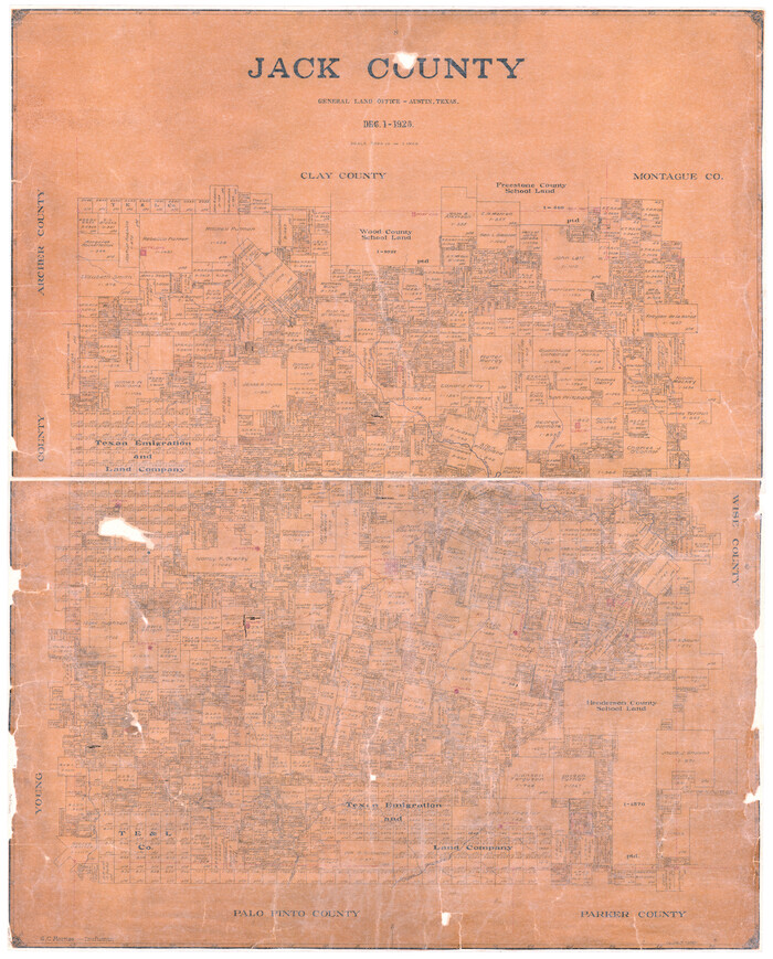
Jack County
1925
-
Size
43.1 x 35.2 inches
-
Map/Doc
73190
-
Creation Date
1925
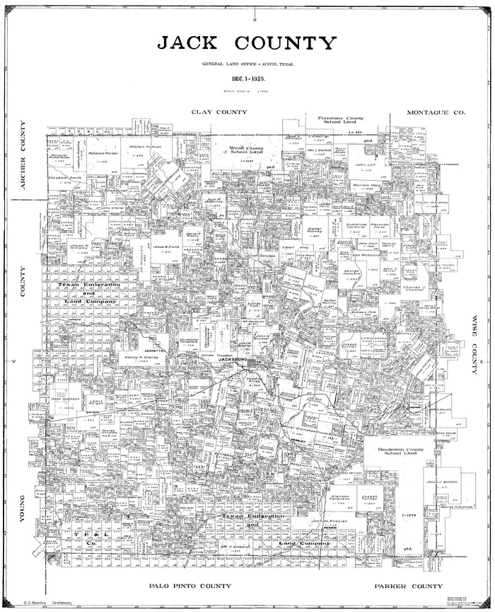
Jack County
1925
-
Size
43.7 x 35.5 inches
-
Map/Doc
77323
-
Creation Date
1925
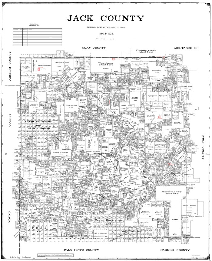
Jack County
1925
-
Size
44.1 x 36.2 inches
-
Map/Doc
95540
-
Creation Date
1925

Jack County Boundary File 1
-
Size
12.9 x 8.2 inches
-
Map/Doc
55363

Jack County Boundary File 1a
-
Size
10.7 x 8.4 inches
-
Map/Doc
55376

Jack County Boundary File 2
-
Size
14.3 x 8.8 inches
-
Map/Doc
55384

Jack County Boundary File 3
-
Size
9.2 x 4.0 inches
-
Map/Doc
55408

Jack County Boundary File 3a
-
Size
8.7 x 7.4 inches
-
Map/Doc
55413

Jack County Boundary File 3b
-
Size
15.6 x 38.4 inches
-
Map/Doc
55418

Jack County Rolled Sketch 1
1963
-
Size
24.4 x 22.5 inches
-
Map/Doc
6331
-
Creation Date
1963

Jack County Rolled Sketch 2
1972
-
Size
31.3 x 29.0 inches
-
Map/Doc
6332
-
Creation Date
1972

Jack County Rolled Sketch 3
1985
-
Size
30.3 x 27.5 inches
-
Map/Doc
6333
-
Creation Date
1985

Jack County Rolled Sketch 3A
1985
-
Size
34.9 x 32.2 inches
-
Map/Doc
6334
-
Creation Date
1985

Jack County Sketch File 1
-
Size
8.4 x 6.4 inches
-
Map/Doc
27499

Jack County Sketch File 10
1857
-
Size
12.4 x 8.3 inches
-
Map/Doc
27527
-
Creation Date
1857

Jack County Sketch File 10a
1858
-
Size
13.8 x 8.3 inches
-
Map/Doc
27529
-
Creation Date
1858

Jack County Sketch File 11
1858
-
Size
10.2 x 8.1 inches
-
Map/Doc
27531
-
Creation Date
1858

Jack County Sketch File 12
-
Size
5.6 x 8.3 inches
-
Map/Doc
27533