
Young County Rolled Sketch 18
2020
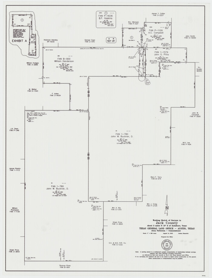
Jack County Working Sketch 25
2012

Jack County Working Sketch 24
2010

Jack County Working Sketch 23
2006

Jack County Working Sketch 22
1995
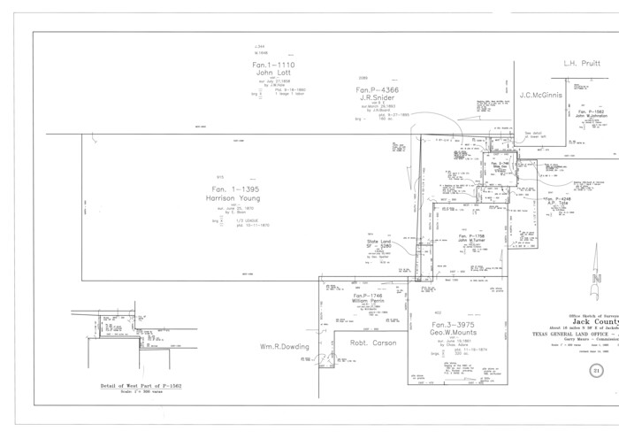
Jack County Working Sketch 21
1993
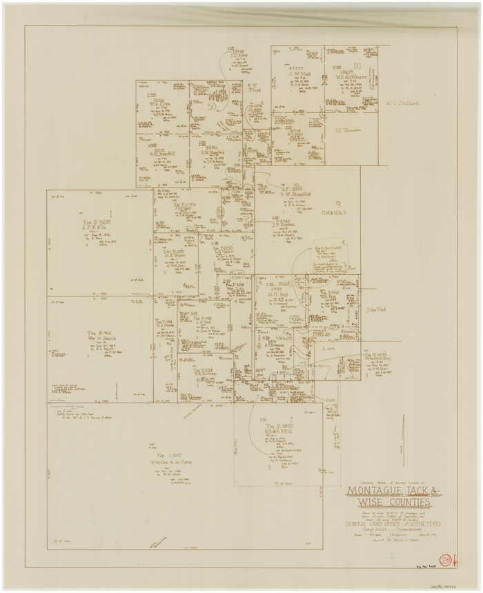
Jack County Working Sketch 20
1991
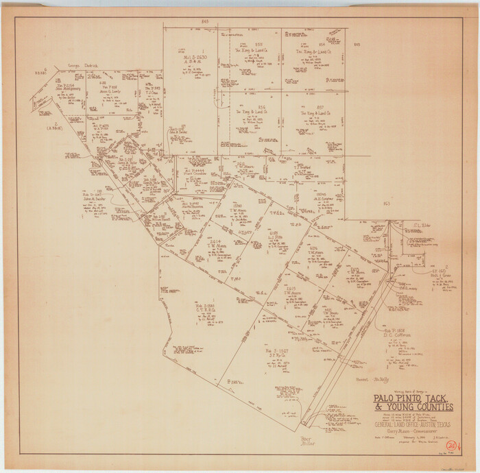
Palo Pinto County Working Sketch 24
1990
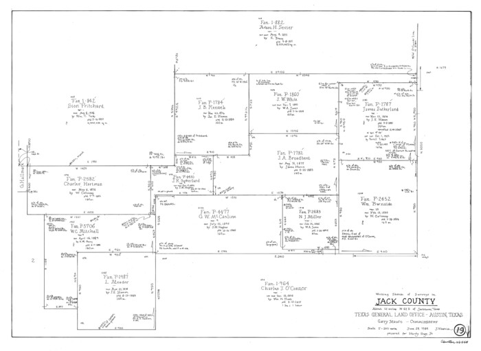
Jack County Working Sketch 19
1989
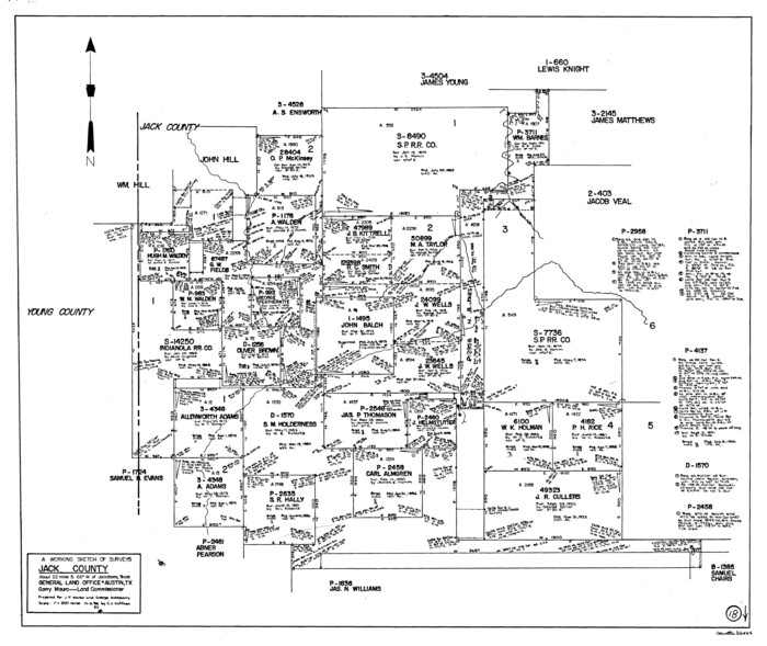
Jack County Working Sketch 18
1986
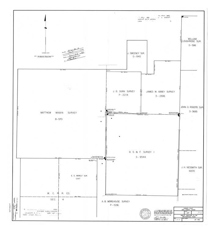
Jack County Rolled Sketch 3
1985
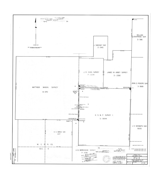
Jack County Rolled Sketch 3A
1985

Jack County Working Sketch 16
1982

Jack County Working Sketch 17
1982
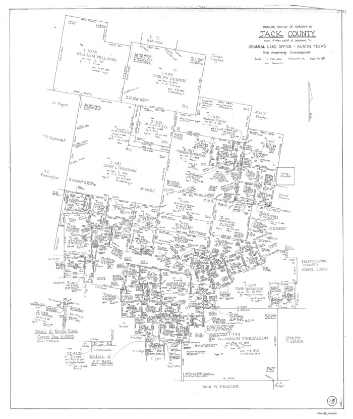
Jack County Working Sketch 15
1982
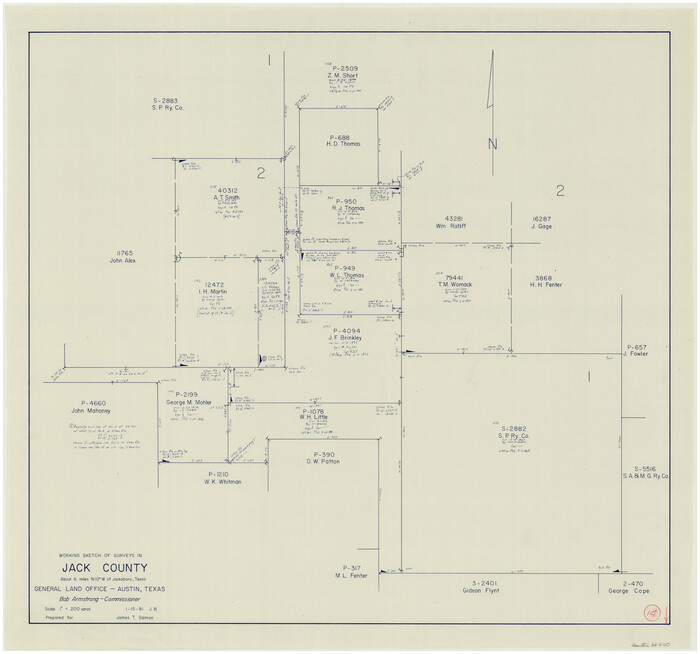
Jack County Working Sketch 14
1981
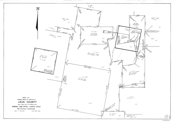
Jack County Working Sketch 13
1975

Jack County Rolled Sketch 2
1972
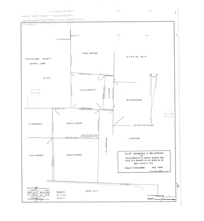
Jack County Rolled Sketch 1
1963
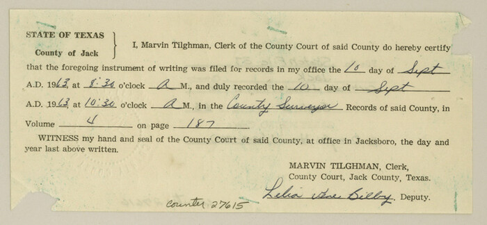
Jack County Sketch File 37
1963
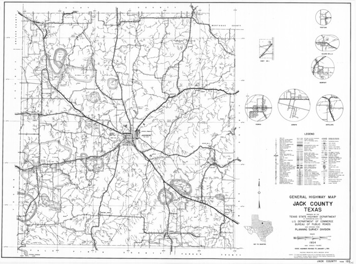
General Highway Map, Jack County, Texas
1961

Jack County Working Sketch 12
1959
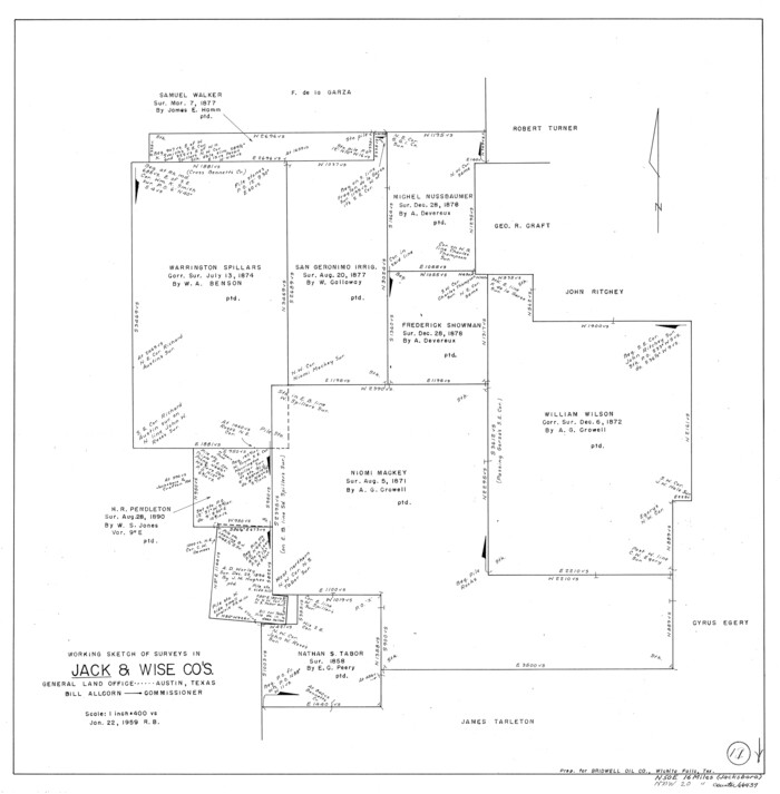
Jack County Working Sketch 11
1959

Jack County Sketch File 35
1958
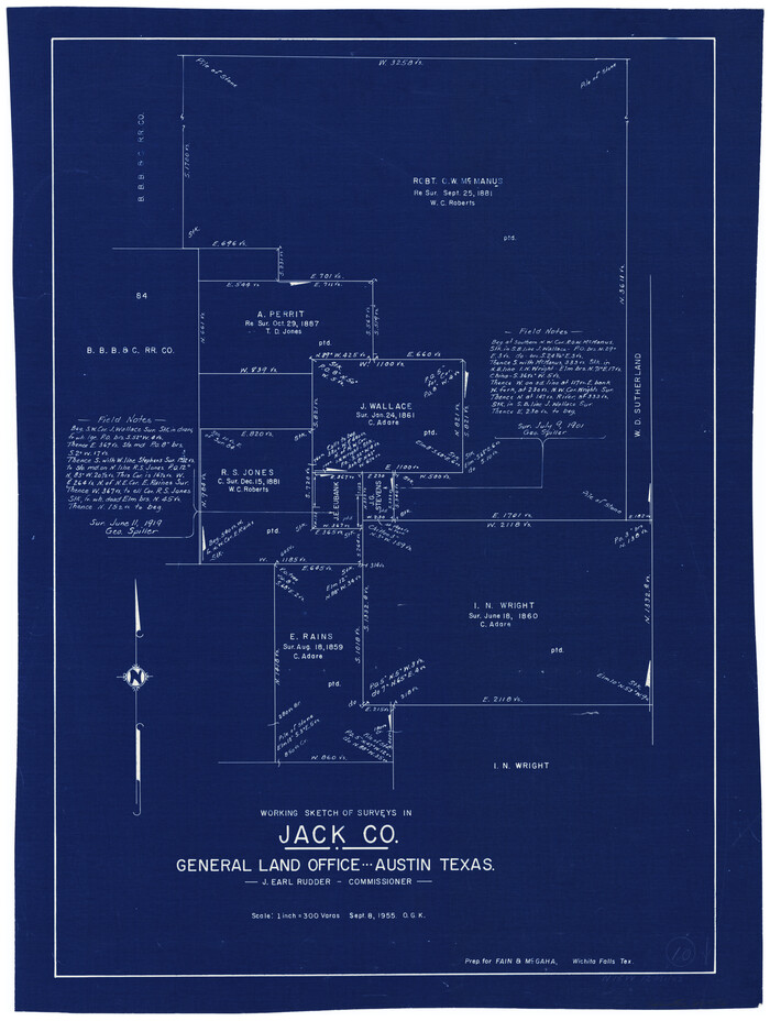
Jack County Working Sketch 10
1955
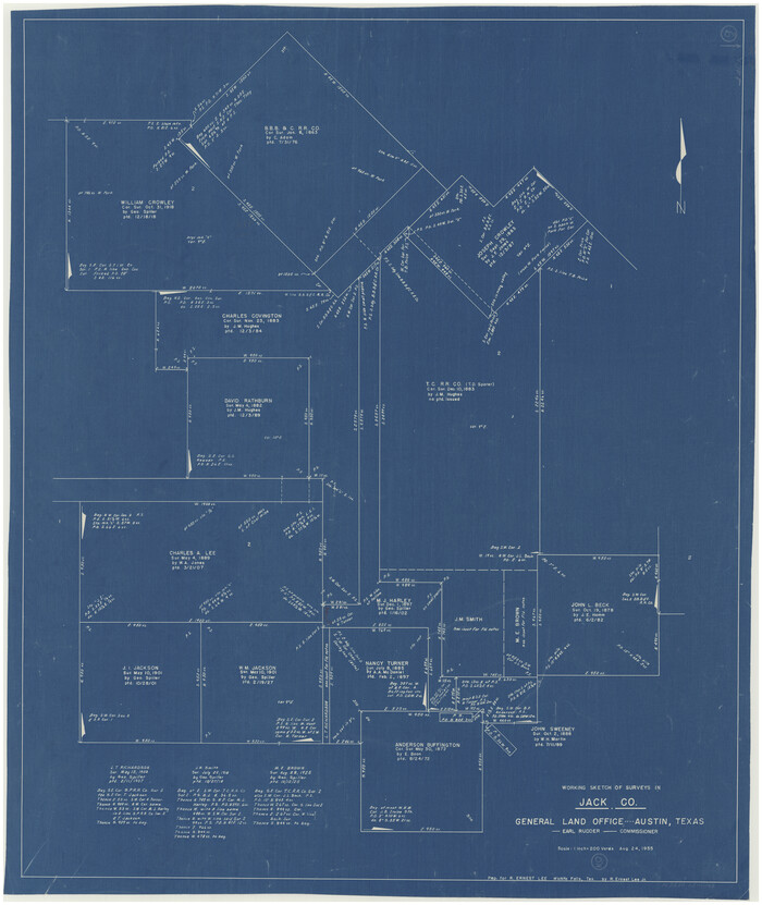
Jack County Working Sketch 9
1955
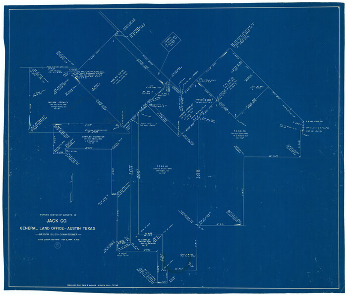
Jack County Working Sketch 8
1954

Jack County Working Sketch 7
1953
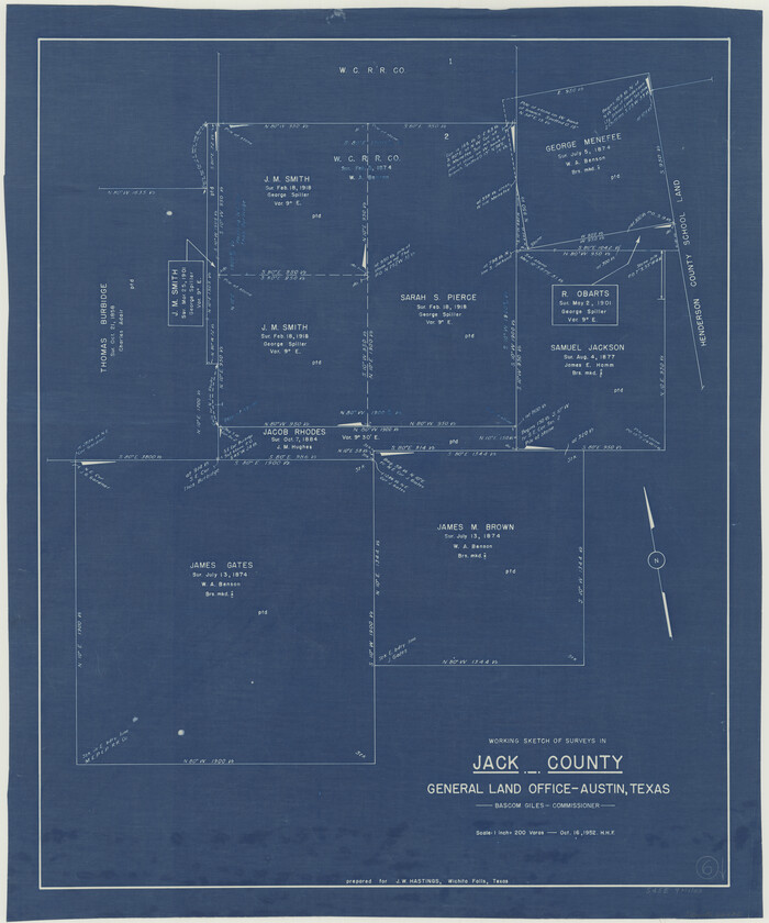
Jack County Working Sketch 6
1952

Jack County Working Sketch 5
1952

Young County Rolled Sketch 18
2020
-
Size
22.6 x 30.4 inches
-
Map/Doc
95960
-
Creation Date
2020

Jack County Working Sketch 25
2012
-
Size
32.7 x 24.9 inches
-
Map/Doc
93409
-
Creation Date
2012

Jack County Working Sketch 24
2010
-
Size
24.1 x 29.7 inches
-
Map/Doc
90030
-
Creation Date
2010

Jack County Working Sketch 23
2006
-
Size
18.4 x 22.0 inches
-
Map/Doc
83606
-
Creation Date
2006

Jack County Working Sketch 22
1995
-
Size
23.9 x 36.7 inches
-
Map/Doc
66448
-
Creation Date
1995

Jack County Working Sketch 21
1993
-
Size
28.3 x 40.0 inches
-
Map/Doc
66447
-
Creation Date
1993

Jack County Working Sketch 20
1991
-
Size
35.4 x 28.9 inches
-
Map/Doc
66446
-
Creation Date
1991

Palo Pinto County Working Sketch 24
1990
-
Map/Doc
71407
-
Creation Date
1990

Jack County Working Sketch 19
1989
-
Size
21.5 x 29.4 inches
-
Map/Doc
66445
-
Creation Date
1989

Jack County Working Sketch 18
1986
-
Size
29.8 x 35.5 inches
-
Map/Doc
66444
-
Creation Date
1986

Jack County Rolled Sketch 3
1985
-
Size
30.3 x 27.5 inches
-
Map/Doc
6333
-
Creation Date
1985

Jack County Rolled Sketch 3A
1985
-
Size
34.9 x 32.2 inches
-
Map/Doc
6334
-
Creation Date
1985

Jack County Working Sketch 16
1982
-
Size
25.7 x 25.7 inches
-
Map/Doc
66442
-
Creation Date
1982

Jack County Working Sketch 17
1982
-
Size
25.9 x 27.4 inches
-
Map/Doc
66443
-
Creation Date
1982

Jack County Working Sketch 15
1982
-
Size
30.6 x 25.9 inches
-
Map/Doc
66441
-
Creation Date
1982

Jack County Working Sketch 14
1981
-
Size
28.2 x 30.2 inches
-
Map/Doc
66440
-
Creation Date
1981

Jack County Working Sketch 13
1975
-
Size
25.5 x 35.8 inches
-
Map/Doc
66439
-
Creation Date
1975

Jack County Rolled Sketch 2
1972
-
Size
31.3 x 29.0 inches
-
Map/Doc
6332
-
Creation Date
1972

Jack County Rolled Sketch 1
1963
-
Size
24.4 x 22.5 inches
-
Map/Doc
6331
-
Creation Date
1963

Jack County Sketch File 37
1963
-
Size
3.5 x 7.6 inches
-
Map/Doc
27615
-
Creation Date
1963

General Highway Map, Jack County, Texas
1961
-
Size
18.2 x 24.5 inches
-
Map/Doc
79532
-
Creation Date
1961

Jack County Working Sketch 12
1959
-
Size
18.0 x 22.4 inches
-
Map/Doc
66438
-
Creation Date
1959

Jack County Working Sketch 11
1959
-
Size
23.9 x 23.4 inches
-
Map/Doc
66437
-
Creation Date
1959

Jack County Sketch File 35
1958
-
Size
23.9 x 35.6 inches
-
Map/Doc
11833
-
Creation Date
1958

Jack County Working Sketch 10
1955
-
Size
24.4 x 18.6 inches
-
Map/Doc
66436
-
Creation Date
1955

Jack County Working Sketch 9
1955
-
Size
35.3 x 29.9 inches
-
Map/Doc
66435
-
Creation Date
1955

Jack County Working Sketch 8
1954
-
Size
30.5 x 35.9 inches
-
Map/Doc
66434
-
Creation Date
1954

Jack County Working Sketch 7
1953
-
Size
37.2 x 31.9 inches
-
Map/Doc
66433
-
Creation Date
1953

Jack County Working Sketch 6
1952
-
Size
29.1 x 24.3 inches
-
Map/Doc
66432
-
Creation Date
1952

Jack County Working Sketch 5
1952
-
Size
25.7 x 22.1 inches
-
Map/Doc
66431
-
Creation Date
1952