
The Republic County of Jasper. Boundaries Defined, December 14, 1837
2020

The Republic County of Jasper. January 29, 1842
2020
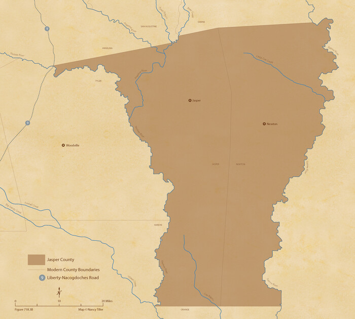
The Republic County of Jasper. Spring 1842
2020

The Republic County of Jasper. December 29, 1845
2020

Jasper County Working Sketch 35
2008
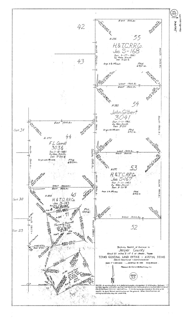
Jasper County Working Sketch 33
1999

Jasper County Working Sketch 32
1993

Newton County Working Sketch 44
1992
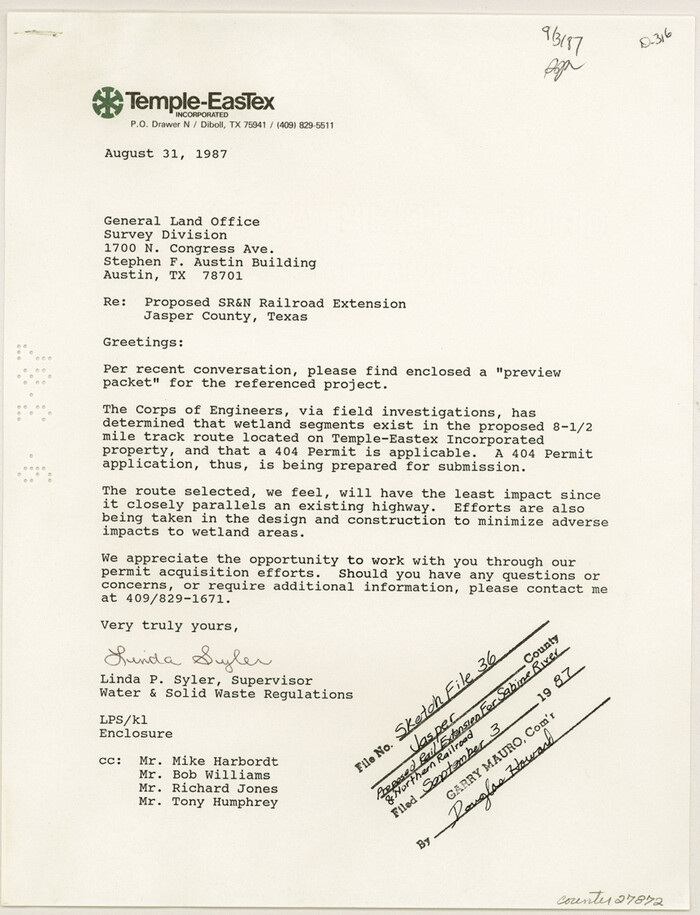
Jasper County Sketch File 36
1987

Jasper County Working Sketch 31
1963
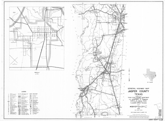
General Highway Map, Jasper County, Texas
1961
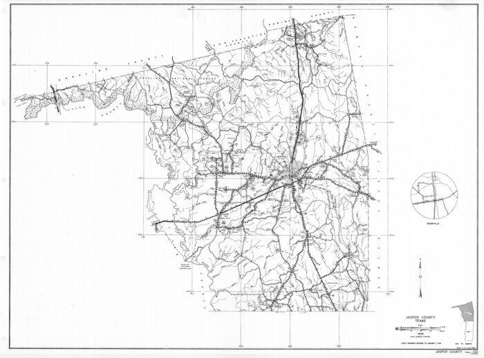
General Highway Map, Jasper County, Texas
1961

Jasper County Working Sketch 30
1956

Jasper County Working Sketch 29
1956

Jasper County Working Sketch 28
1955

Jasper County Working Sketch 27
1954
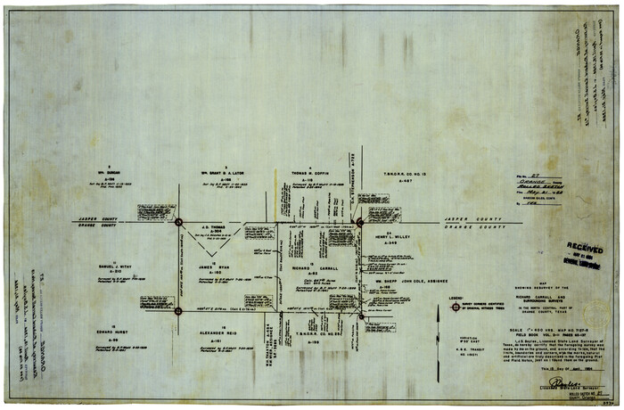
Orange County Rolled Sketch 27
1954
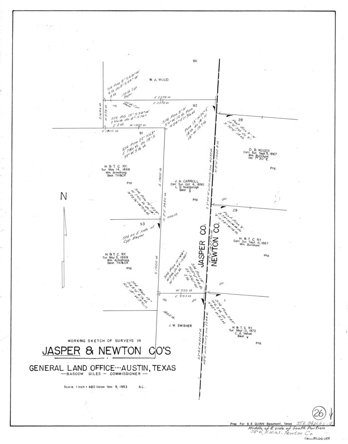
Jasper County Working Sketch 26
1953
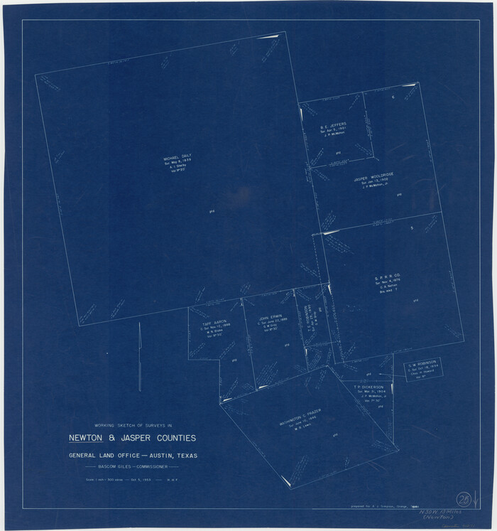
Newton County Working Sketch 25
1953
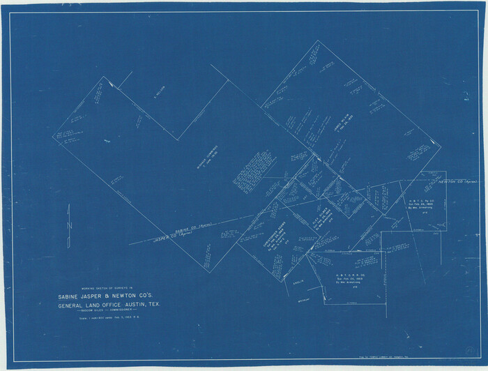
Sabine County Working Sketch 14
1953
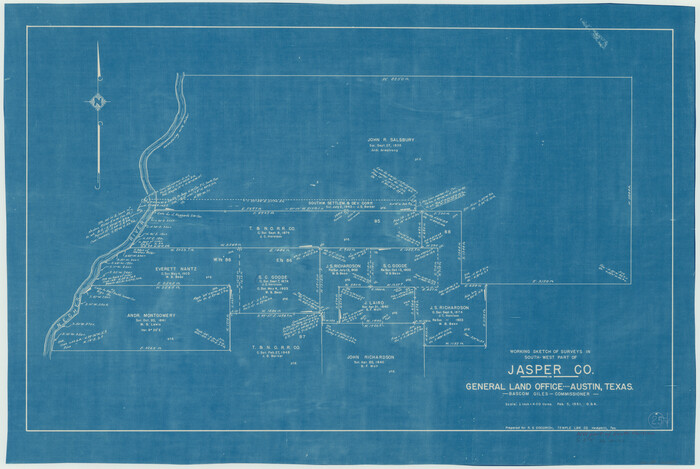
Jasper County Working Sketch 25
1951
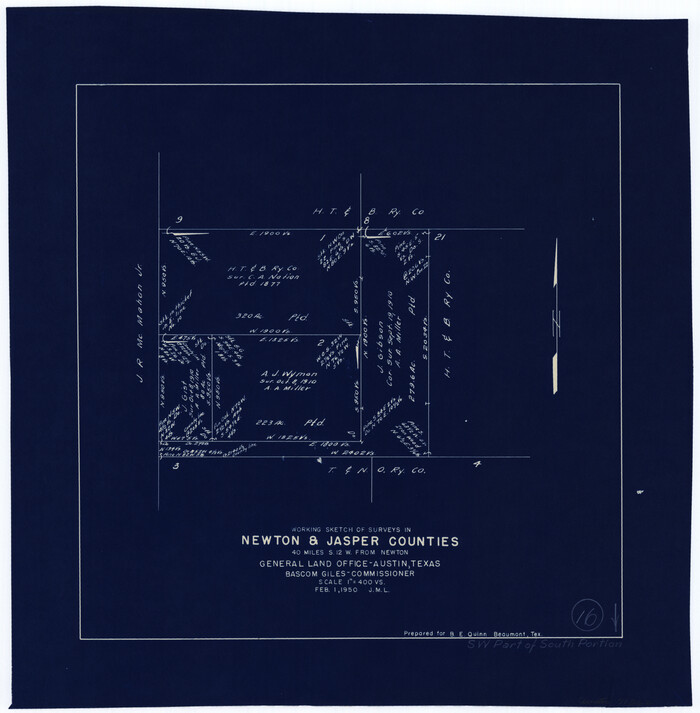
Newton County Working Sketch 16
1950
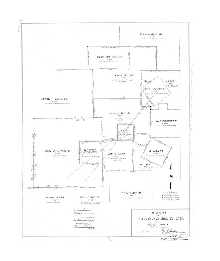
Jasper County Rolled Sketch 5
1948
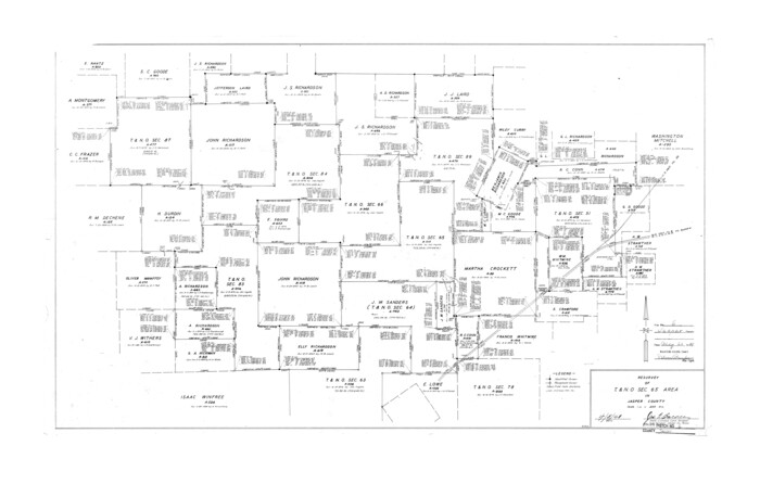
Jasper County Rolled Sketch 6
1948
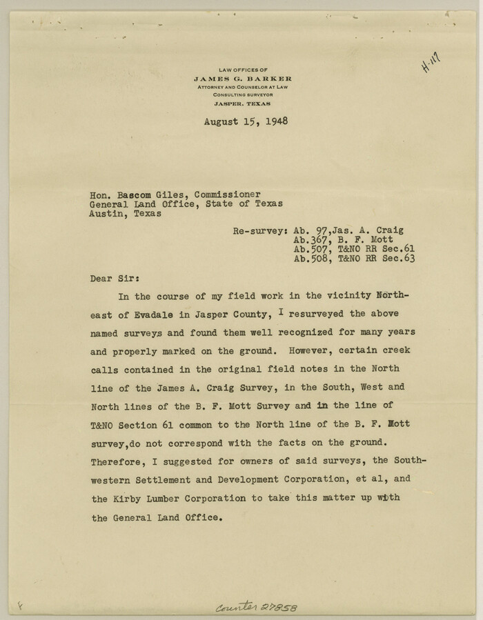
Jasper County Sketch File 30
1948

Jasper County Working Sketch 24
1948
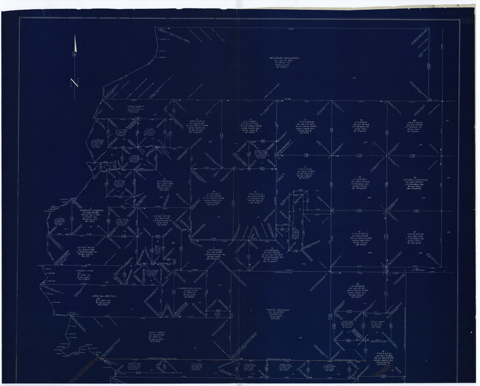
Jasper County Working Sketch 24
1948

Angelina County Rolled Sketch 2
1948

Jasper County Sketch File 29
1947
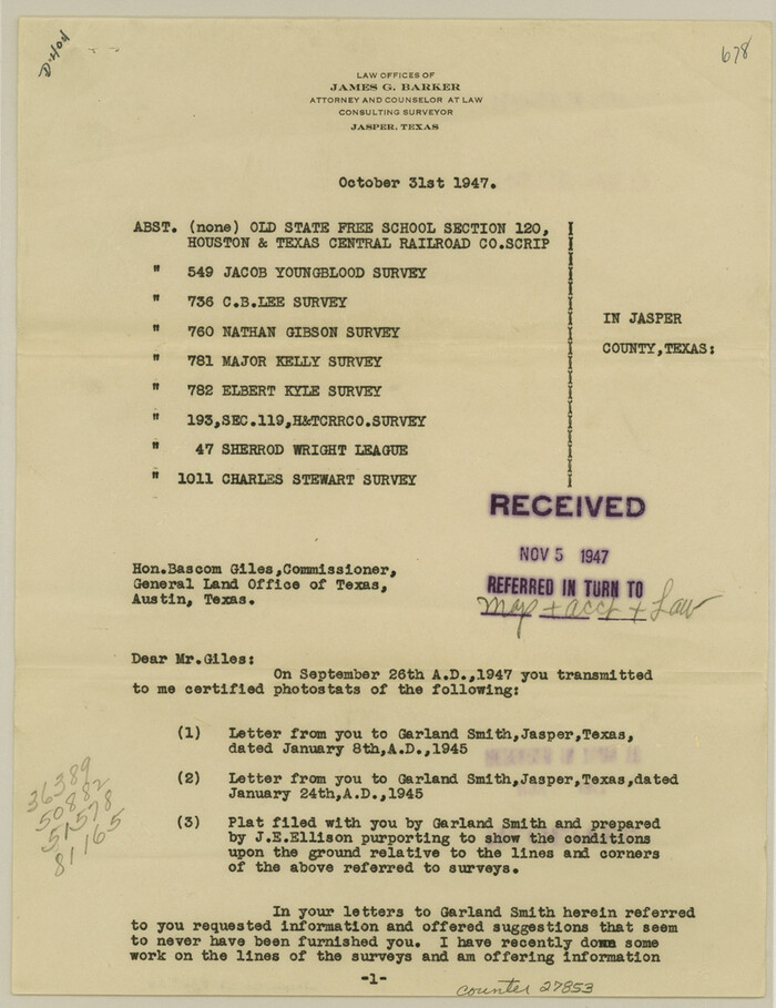
Jasper County Sketch File 28
1947

The Republic County of Jasper. Boundaries Defined, December 14, 1837
2020
-
Size
19.5 x 21.7 inches
-
Map/Doc
96193
-
Creation Date
2020

The Republic County of Jasper. January 29, 1842
2020
-
Size
19.5 x 21.7 inches
-
Map/Doc
96194
-
Creation Date
2020

The Republic County of Jasper. Spring 1842
2020
-
Size
19.5 x 21.7 inches
-
Map/Doc
96195
-
Creation Date
2020

The Republic County of Jasper. December 29, 1845
2020
-
Size
19.5 x 21.7 inches
-
Map/Doc
96196
-
Creation Date
2020

Jasper County Working Sketch 35
2008
-
Size
28.5 x 40.0 inches
-
Map/Doc
88733
-
Creation Date
2008

Jasper County Working Sketch 33
1999
-
Size
30.4 x 17.5 inches
-
Map/Doc
66495
-
Creation Date
1999

Jasper County Working Sketch 32
1993
-
Size
18.7 x 22.7 inches
-
Map/Doc
66494
-
Creation Date
1993

Newton County Working Sketch 44
1992
-
Size
19.2 x 24.6 inches
-
Map/Doc
71290
-
Creation Date
1992

Jasper County Sketch File 36
1987
-
Size
11.2 x 8.6 inches
-
Map/Doc
27872
-
Creation Date
1987

Jasper County Working Sketch 31
1963
-
Size
38.2 x 37.7 inches
-
Map/Doc
66493
-
Creation Date
1963

General Highway Map, Jasper County, Texas
1961
-
Size
18.2 x 24.8 inches
-
Map/Doc
79534
-
Creation Date
1961

General Highway Map, Jasper County, Texas
1961
-
Size
18.3 x 24.7 inches
-
Map/Doc
79535
-
Creation Date
1961

Jasper County Working Sketch 30
1956
-
Size
33.5 x 38.6 inches
-
Map/Doc
66492
-
Creation Date
1956

Jasper County Working Sketch 29
1956
-
Size
20.6 x 31.4 inches
-
Map/Doc
66491
-
Creation Date
1956

Jasper County Working Sketch 28
1955
-
Size
22.6 x 15.6 inches
-
Map/Doc
66490
-
Creation Date
1955

Jasper County Working Sketch 27
1954
-
Size
38.3 x 19.4 inches
-
Map/Doc
66489
-
Creation Date
1954

Orange County Rolled Sketch 27
1954
-
Size
22.3 x 34.5 inches
-
Map/Doc
7186
-
Creation Date
1954

Jasper County Working Sketch 26
1953
-
Size
23.1 x 18.1 inches
-
Map/Doc
66488
-
Creation Date
1953

Newton County Working Sketch 25
1953
-
Size
25.4 x 23.8 inches
-
Map/Doc
71271
-
Creation Date
1953

Sabine County Working Sketch 14
1953
-
Size
29.3 x 38.6 inches
-
Map/Doc
63685
-
Creation Date
1953

Jasper County Working Sketch 25
1951
-
Size
21.6 x 32.3 inches
-
Map/Doc
66487
-
Creation Date
1951

Newton County Working Sketch 16
1950
-
Size
15.8 x 15.5 inches
-
Map/Doc
71262
-
Creation Date
1950

Jasper County Rolled Sketch 5
1948
-
Size
29.0 x 24.4 inches
-
Map/Doc
6352
-
Creation Date
1948

Jasper County Rolled Sketch 6
1948
-
Size
27.8 x 43.7 inches
-
Map/Doc
6353
-
Creation Date
1948

Jasper County Sketch File 30
1948
-
Size
11.3 x 8.8 inches
-
Map/Doc
27858
-
Creation Date
1948

Jasper County Working Sketch 24
1948
-
Size
46.9 x 56.2 inches
-
Map/Doc
66486
-
Creation Date
1948

Jasper County Working Sketch 24
1948
-
Size
44.2 x 54.9 inches
-
Map/Doc
69651
-
Creation Date
1948

Angelina County Rolled Sketch 2
1948
-
Size
21.9 x 20.1 inches
-
Map/Doc
77185
-
Creation Date
1948

Jasper County Sketch File 29
1947
-
Size
21.0 x 24.8 inches
-
Map/Doc
11851
-
Creation Date
1947

Jasper County Sketch File 28
1947
-
Size
11.4 x 8.8 inches
-
Map/Doc
27853
-
Creation Date
1947