
Starr County Sketch File 18
1880

Duval County Sketch File 5
1860
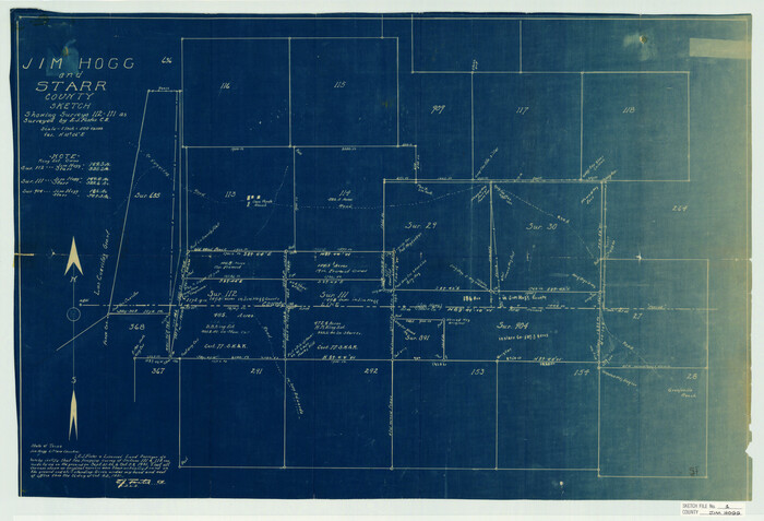
Jim Hogg County Sketch File 1
1931
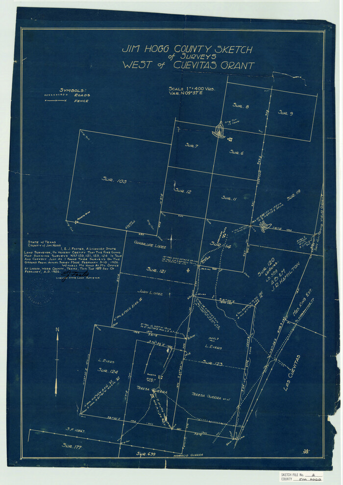
Jim Hogg County Sketch File 2
1926
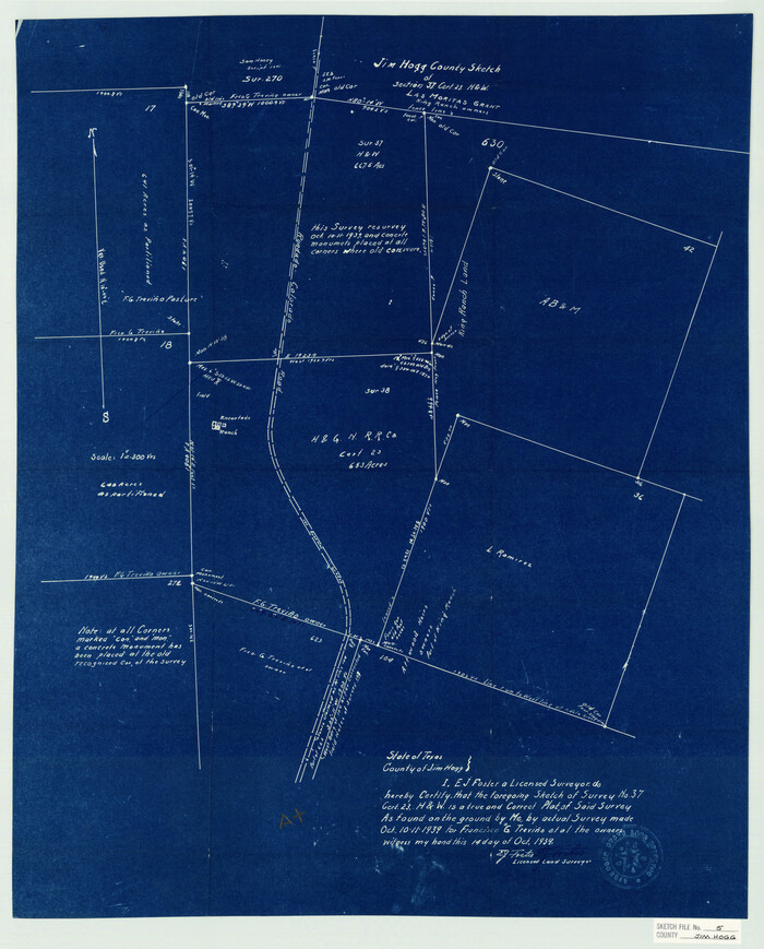
Jim Hogg County Sketch File 5
1939

Jim Hogg County Sketch File 6
1939

Jim Hogg County Sketch File 8
1941
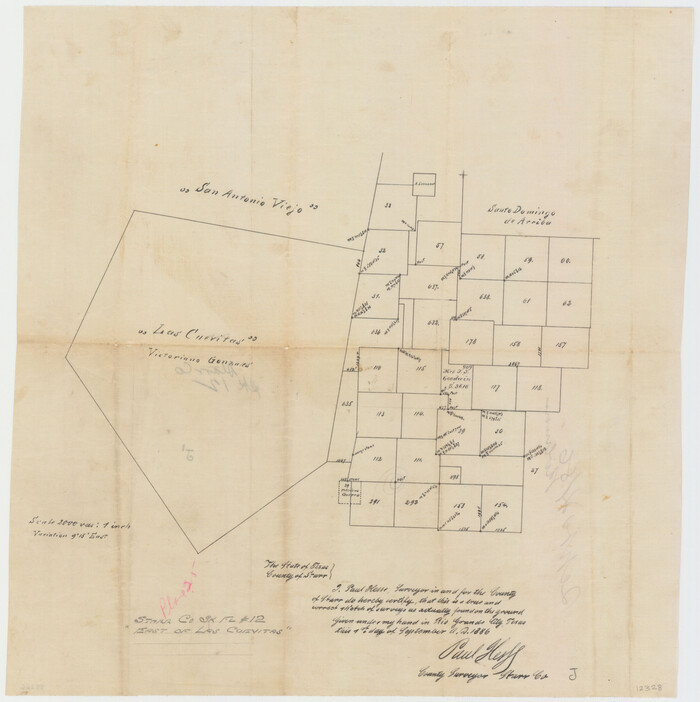
Starr County Sketch File 12
1886
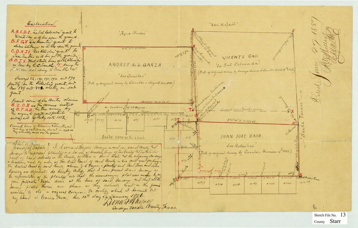
Starr County Sketch File 13
1886
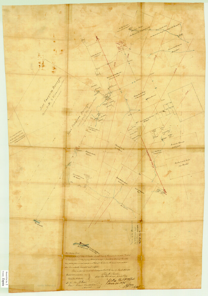
Zapata County Sketch File 1
1875
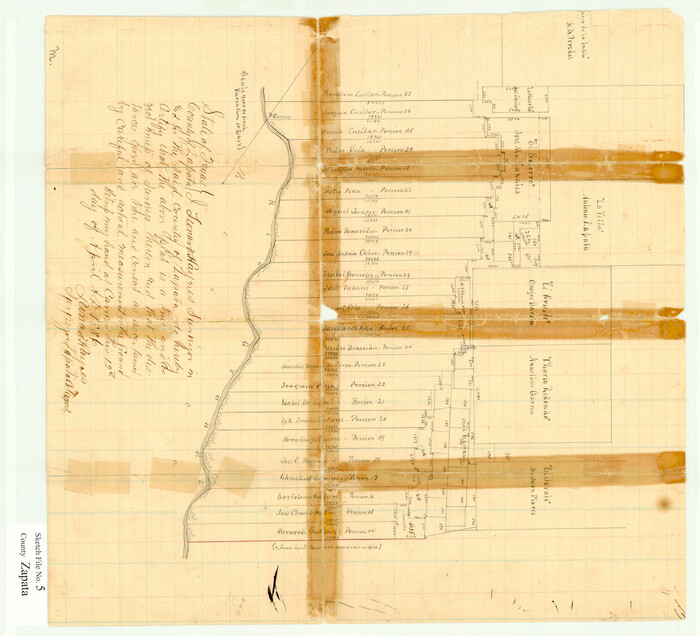
Zapata County Sketch File 5
1886

Zapata County Sketch File 13a
1935
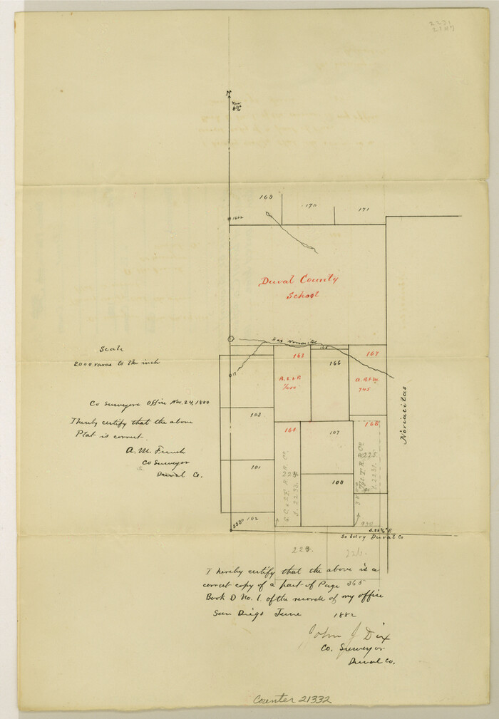
Duval County Sketch File 26
1882
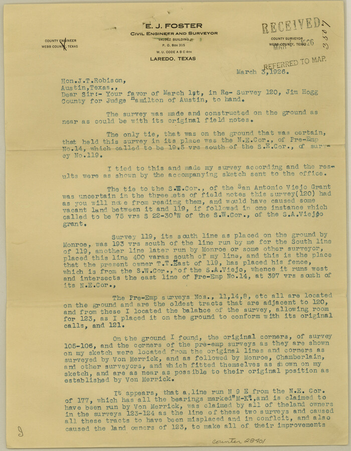
Jim Hogg County Sketch File 3
1926
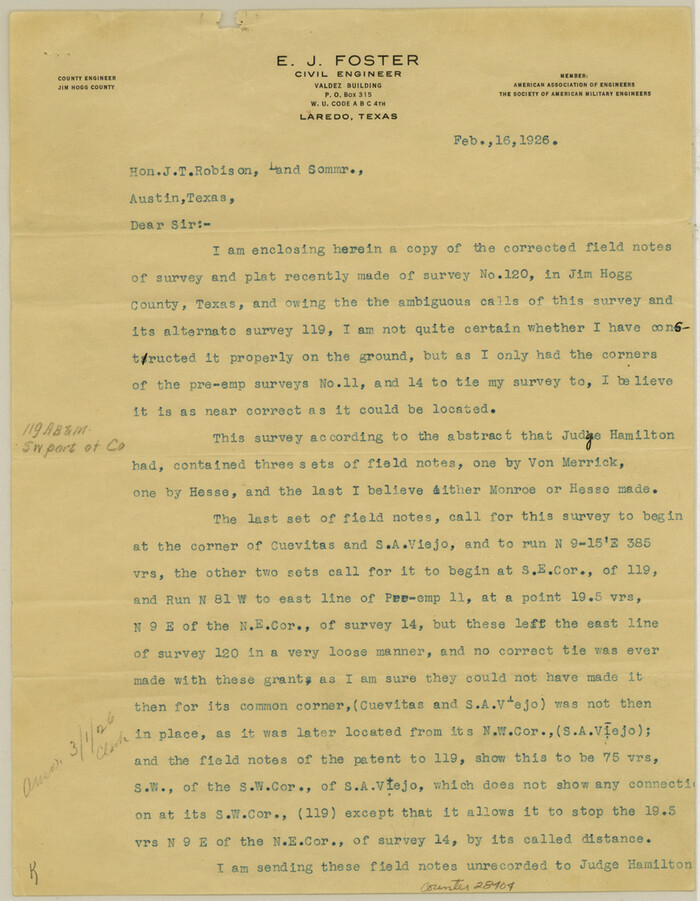
Jim Hogg County Sketch File 4
1926

Jim Hogg County Sketch File 6a
1939
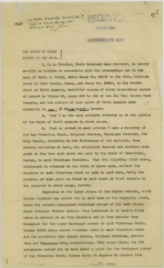
Jim Hogg County Sketch File 9
1941
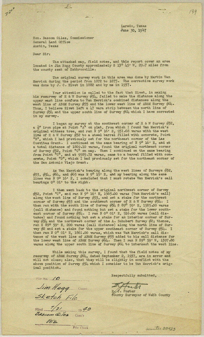
Jim Hogg County Sketch File 10
1947

Starr County Sketch File 17
1880

Starr County Sketch File 20a
1892

Starr County Sketch File D
1892

Zapata County Sketch File 4
1892

Zapata County Sketch File 4a
1891
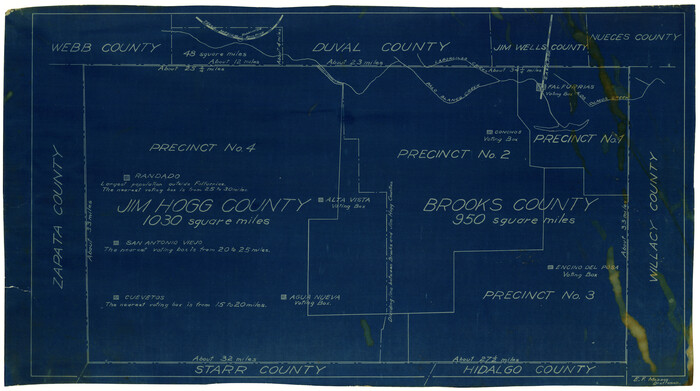
[Sketch showing voting precincts in Jim Hogg and Brooks Counties]

Starr County Sketch File 14
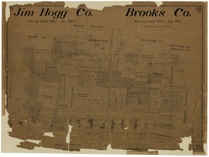
Jim Hogg Co. [and] Brooks Co.
1913
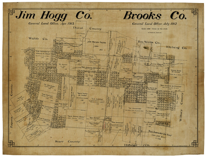
Jim Hogg Co. / Brooks Co.
1912
Jim Hogg County Boundary File 1
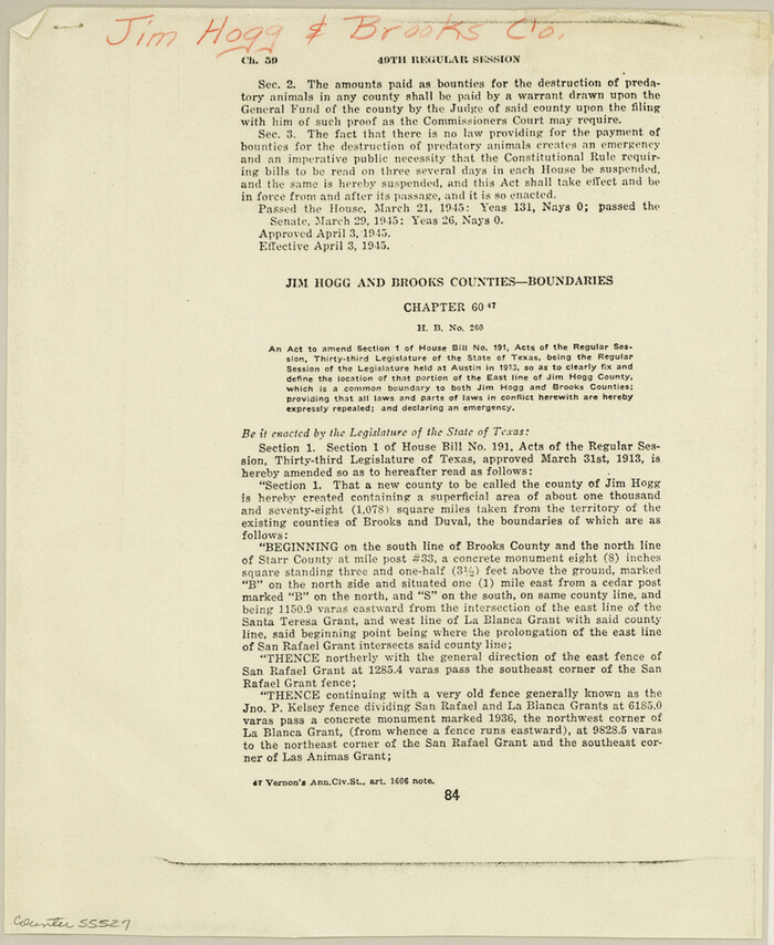
Jim Hogg County Boundary File 2

Starr County Sketch File 18
1880
-
Size
38.2 x 25.1 inches
-
Map/Doc
10606
-
Creation Date
1880

Duval County Sketch File 5
1860
-
Size
20.8 x 29.6 inches
-
Map/Doc
11381
-
Creation Date
1860

Jim Hogg County Sketch File 1
1931
-
Size
18.2 x 26.7 inches
-
Map/Doc
11883
-
Creation Date
1931

Jim Hogg County Sketch File 2
1926
-
Size
24.9 x 17.7 inches
-
Map/Doc
11884
-
Creation Date
1926

Jim Hogg County Sketch File 5
1939
-
Size
24.8 x 19.9 inches
-
Map/Doc
11885
-
Creation Date
1939

Jim Hogg County Sketch File 6
1939
-
Size
17.9 x 19.6 inches
-
Map/Doc
11886
-
Creation Date
1939

Jim Hogg County Sketch File 8
1941
-
Size
21.9 x 27.0 inches
-
Map/Doc
11887
-
Creation Date
1941

Starr County Sketch File 12
1886
-
Size
16.2 x 23.7 inches
-
Map/Doc
12328
-
Creation Date
1886

Starr County Sketch File 13
1886
-
Size
12.4 x 19.5 inches
-
Map/Doc
12329
-
Creation Date
1886

Zapata County Sketch File 1
1875
-
Size
30.5 x 21.4 inches
-
Map/Doc
12717
-
Creation Date
1875

Zapata County Sketch File 5
1886
-
Size
15.4 x 16.9 inches
-
Map/Doc
12719
-
Creation Date
1886

Zapata County Sketch File 13a
1935
-
Size
21.4 x 16.0 inches
-
Map/Doc
12722
-
Creation Date
1935

Duval County Sketch File 26
1882
-
Size
13.0 x 9.0 inches
-
Map/Doc
21332
-
Creation Date
1882

Jim Hogg County Sketch File 3
1926
-
Size
11.0 x 8.6 inches
-
Map/Doc
28401
-
Creation Date
1926

Jim Hogg County Sketch File 4
1926
-
Size
11.2 x 8.7 inches
-
Map/Doc
28404
-
Creation Date
1926

Jim Hogg County Sketch File 6a
1939
-
Size
11.1 x 8.7 inches
-
Map/Doc
28408
-
Creation Date
1939

Jim Hogg County Sketch File 9
1941
-
Size
14.2 x 8.7 inches
-
Map/Doc
28411
-
Creation Date
1941

Jim Hogg County Sketch File 10
1947
-
Size
14.3 x 8.7 inches
-
Map/Doc
28423
-
Creation Date
1947

Starr County Sketch File 17
1880
-
Size
12.8 x 8.2 inches
-
Map/Doc
36874
-
Creation Date
1880

Starr County Sketch File 20a
1892
-
Size
14.3 x 8.8 inches
-
Map/Doc
36883
-
Creation Date
1892

Starr County Sketch File D
1892
-
Size
14.2 x 8.7 inches
-
Map/Doc
36915
-
Creation Date
1892

Zapata County Sketch File 4
1892
-
Size
14.5 x 17.5 inches
-
Map/Doc
40906
-
Creation Date
1892

Zapata County Sketch File 4a
1891
-
Size
14.2 x 8.8 inches
-
Map/Doc
40908
-
Creation Date
1891
![4497, [Sketch showing voting precincts in Jim Hogg and Brooks Counties], Maddox Collection](https://historictexasmaps.com/wmedia_w700/maps/4497-1.tif.jpg)
[Sketch showing voting precincts in Jim Hogg and Brooks Counties]
-
Size
10.1 x 18.2 inches
-
Map/Doc
4497

Starr County Sketch File 14
-
Size
23.8 x 46.0 inches
-
Map/Doc
4626
![4756, Jim Hogg Co. [and] Brooks Co., General Map Collection](https://historictexasmaps.com/wmedia_w700/maps/4756-1.tif.jpg)
Jim Hogg Co. [and] Brooks Co.
1913
-
Size
31.8 x 41.8 inches
-
Map/Doc
4756
-
Creation Date
1913

Jim Hogg Co. / Brooks Co.
1912
-
Size
33.0 x 43.6 inches
-
Map/Doc
4894
-
Creation Date
1912
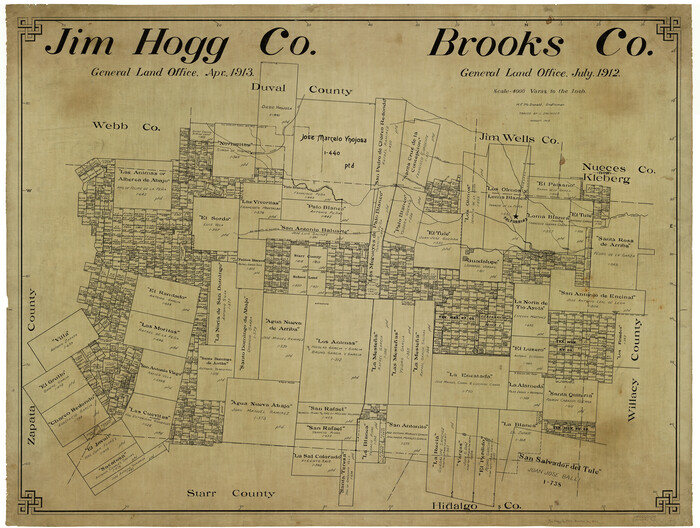
Jim Hogg Co.
1913
-
Size
31.2 x 41.4 inches
-
Map/Doc
4993
-
Creation Date
1913

Jim Hogg County Boundary File 1
-
Size
11.4 x 8.8 inches
-
Map/Doc
55519

Jim Hogg County Boundary File 2
-
Size
10.6 x 8.7 inches
-
Map/Doc
55527