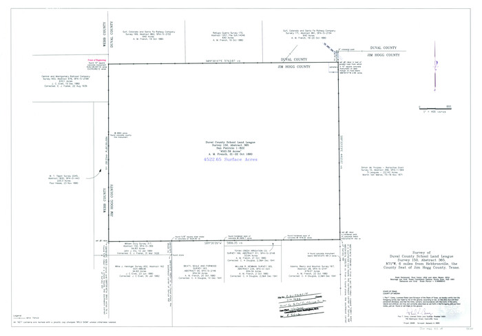
Jim Hogg County Rolled Sketch 14
2023

Land grants from the state of Tamaulipas in the trans-Nueces
2009

Zapata County Working Sketch 24
1992

Jim Hogg County Working Sketch 12
1984
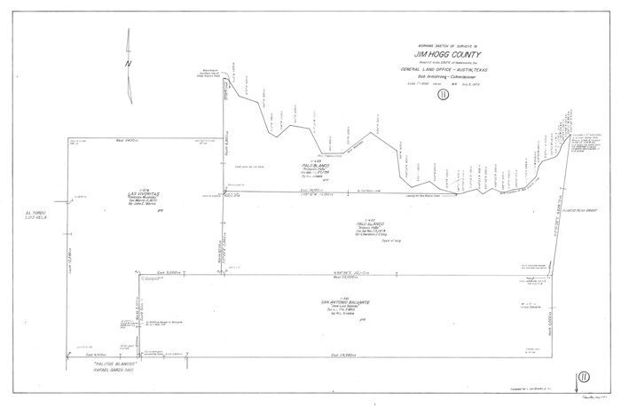
Jim Hogg County Working Sketch 11
1979
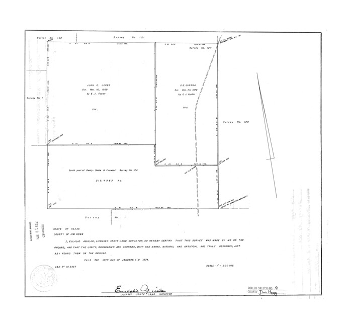
Jim Hogg County Rolled Sketch 9
1974
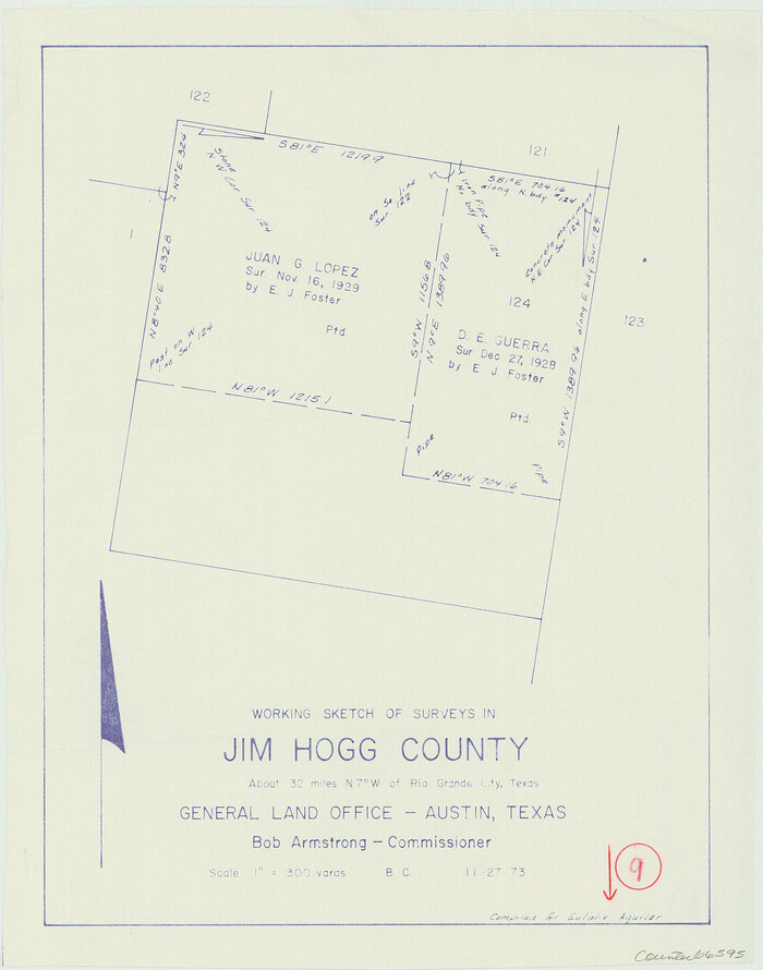
Jim Hogg County Working Sketch 9
1973
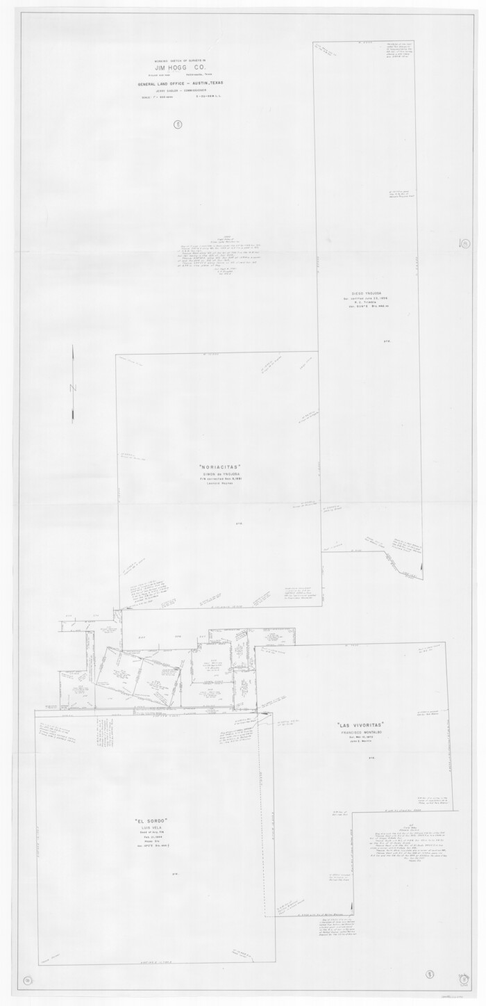
Jim Hogg County Working Sketch 8
1966

Jim Hogg County Working Sketch 7
1964

Jim Hogg County Working Sketch Graphic Index
1962

Jim Hogg County Working Sketch 6
1961
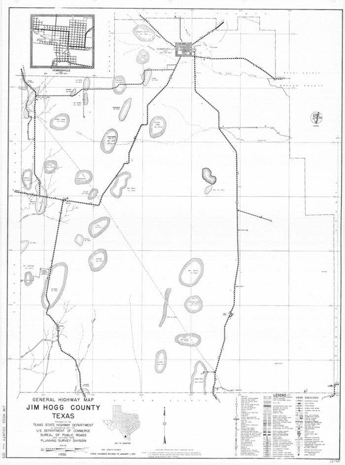
General Highway Map, Jim Hogg County, Texas
1961
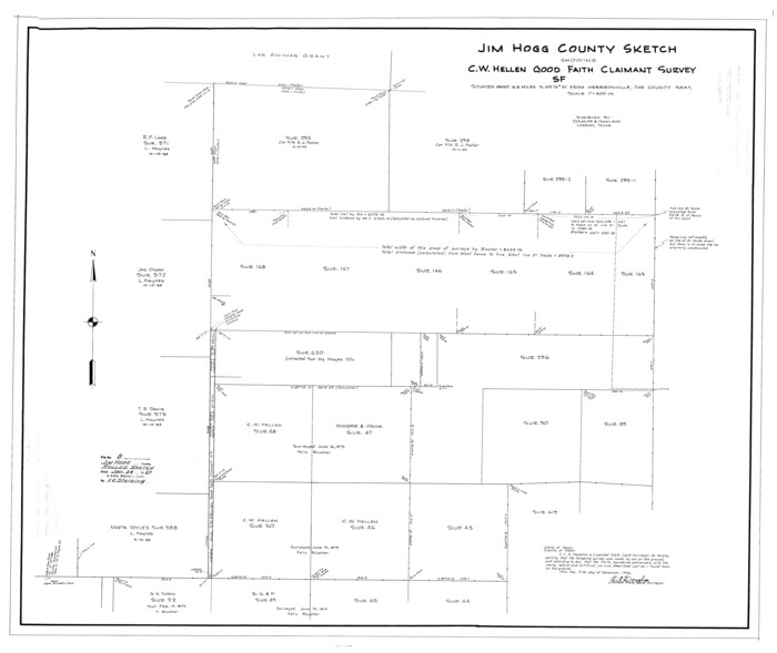
Jim Hogg County Rolled Sketch 8
1956
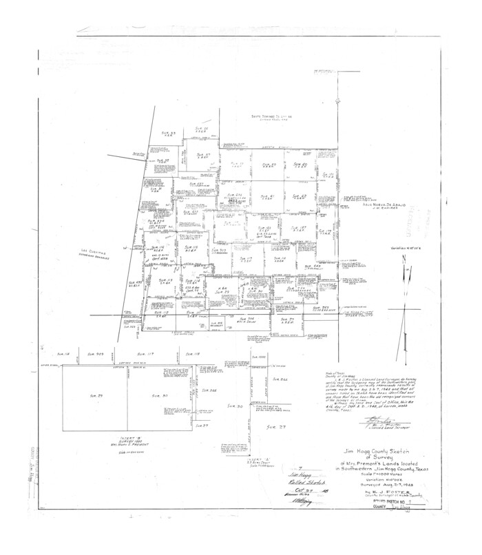
Jim Hogg County Rolled Sketch 7
1948
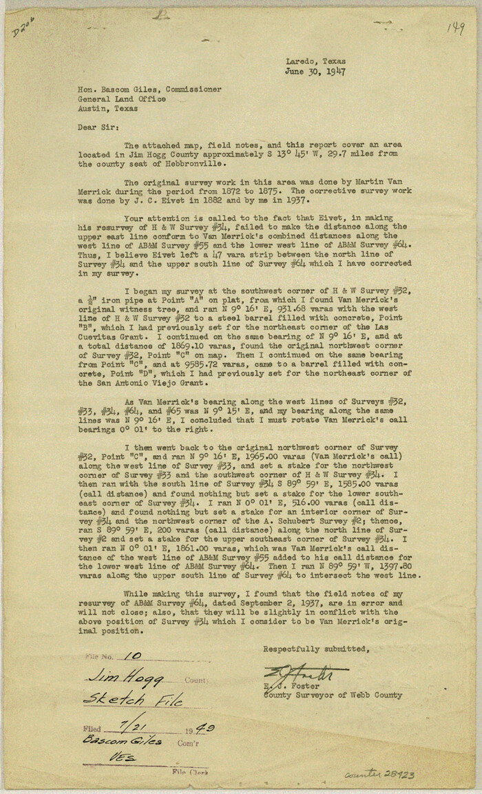
Jim Hogg County Sketch File 10
1947
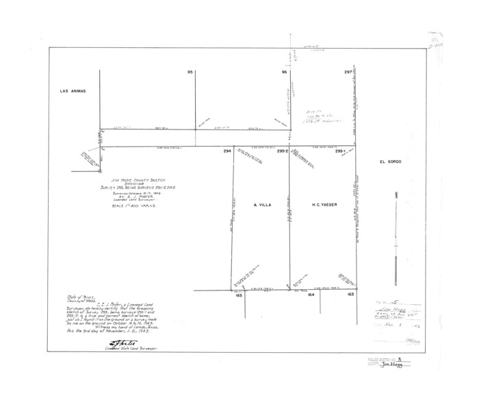
Jim Hogg County Rolled Sketch 5
1943

Jim Hogg County Rolled Sketch 6
1943
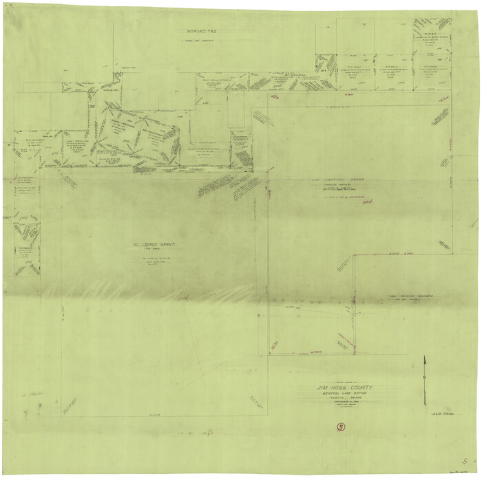
Jim Hogg County Working Sketch 5
1941
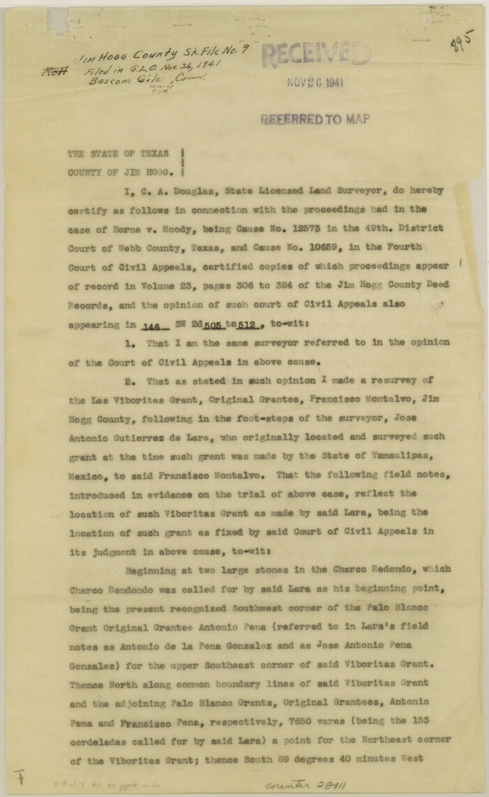
Jim Hogg County Sketch File 9
1941

Jim Hogg County Sketch File 8
1941

General Highway Map, Jim Hogg County, Texas
1940
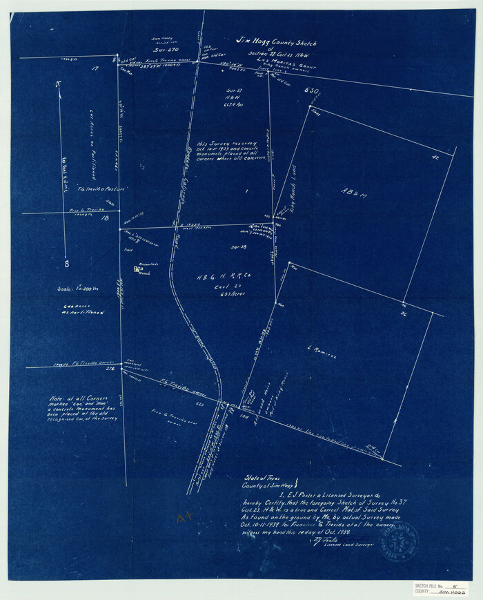
Jim Hogg County Sketch File 5
1939
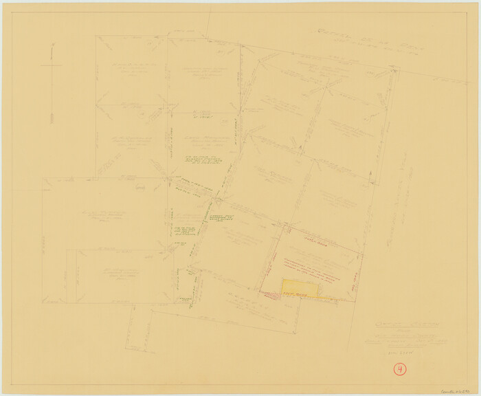
Jim Hogg County Working Sketch 4
1939

Jim Hogg County Working Sketch 3
1939

Jim Hogg County Sketch File 6
1939

Jim Hogg County Sketch File 6a
1939

Jim Hogg County Rolled Sketch EJF
1937

Jim Hogg County Rolled Sketch 14
2023
-
Size
21.1 x 30.3 inches
-
Map/Doc
97155
-
Creation Date
2023

Land grants from the state of Tamaulipas in the trans-Nueces
2009
-
Size
11.0 x 8.5 inches
-
Map/Doc
94040
-
Creation Date
2009

Zapata County Working Sketch 24
1992
-
Size
28.2 x 23.9 inches
-
Map/Doc
62075
-
Creation Date
1992

Jim Hogg County Working Sketch 12
1984
-
Size
17.4 x 15.2 inches
-
Map/Doc
66598
-
Creation Date
1984

Jim Hogg County Working Sketch 11
1979
-
Size
24.7 x 37.6 inches
-
Map/Doc
66597
-
Creation Date
1979

Jim Hogg County Rolled Sketch 9
1974
-
Size
18.2 x 19.8 inches
-
Map/Doc
6443
-
Creation Date
1974

Jim Hogg County Working Sketch 9
1973
-
Size
14.3 x 11.2 inches
-
Map/Doc
66595
-
Creation Date
1973

Jim Hogg County Working Sketch 8
1966
-
Size
82.7 x 40.0 inches
-
Map/Doc
66594
-
Creation Date
1966

Jim Hogg County Working Sketch 7
1964
-
Size
20.0 x 18.6 inches
-
Map/Doc
66593
-
Creation Date
1964
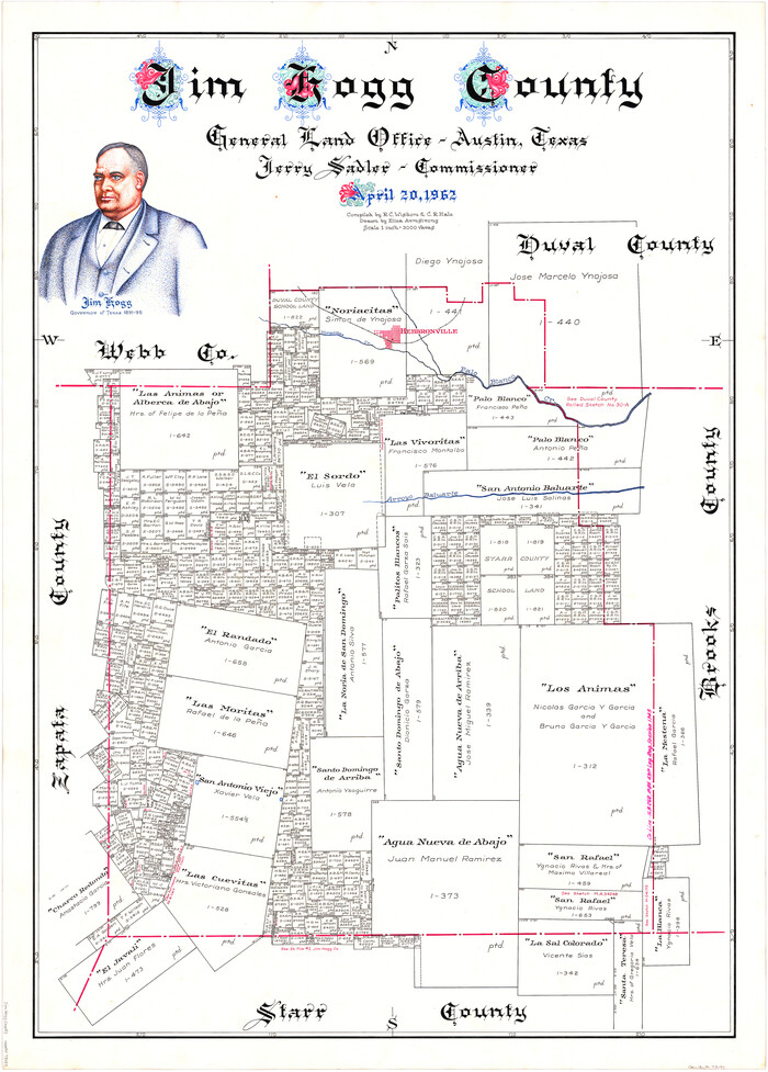
Jim Hogg County
1962
-
Size
41.3 x 30.0 inches
-
Map/Doc
73197
-
Creation Date
1962
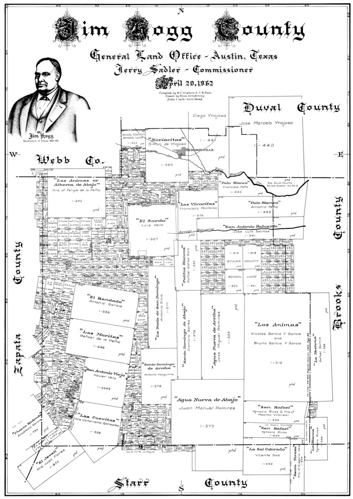
Jim Hogg County
1962
-
Size
40.3 x 28.5 inches
-
Map/Doc
77330
-
Creation Date
1962

Jim Hogg County
1962
-
Size
43.0 x 31.4 inches
-
Map/Doc
95547
-
Creation Date
1962

Jim Hogg County Working Sketch Graphic Index
1962
-
Size
40.0 x 28.7 inches
-
Map/Doc
76596
-
Creation Date
1962

Jim Hogg County Working Sketch 6
1961
-
Size
63.3 x 42.8 inches
-
Map/Doc
66592
-
Creation Date
1961

General Highway Map, Jim Hogg County, Texas
1961
-
Size
24.6 x 18.2 inches
-
Map/Doc
79541
-
Creation Date
1961

Jim Hogg County Rolled Sketch 8
1956
-
Size
32.1 x 38.2 inches
-
Map/Doc
9323
-
Creation Date
1956

Jim Hogg County Rolled Sketch 7
1948
-
Size
32.5 x 28.2 inches
-
Map/Doc
6442
-
Creation Date
1948

Jim Hogg County Sketch File 10
1947
-
Size
14.3 x 8.7 inches
-
Map/Doc
28423
-
Creation Date
1947

Jim Hogg County Rolled Sketch 5
1943
-
Size
19.9 x 24.1 inches
-
Map/Doc
6441
-
Creation Date
1943

Jim Hogg County Rolled Sketch 6
1943
-
Size
51.9 x 38.4 inches
-
Map/Doc
9322
-
Creation Date
1943

Jim Hogg County Working Sketch 5
1941
-
Size
40.8 x 41.0 inches
-
Map/Doc
66591
-
Creation Date
1941

Jim Hogg County Sketch File 9
1941
-
Size
14.2 x 8.7 inches
-
Map/Doc
28411
-
Creation Date
1941

Jim Hogg County Sketch File 8
1941
-
Size
21.9 x 27.0 inches
-
Map/Doc
11887
-
Creation Date
1941

General Highway Map, Jim Hogg County, Texas
1940
-
Size
24.8 x 18.5 inches
-
Map/Doc
79146
-
Creation Date
1940

Jim Hogg County Sketch File 5
1939
-
Size
24.8 x 19.9 inches
-
Map/Doc
11885
-
Creation Date
1939

Jim Hogg County Working Sketch 4
1939
-
Size
20.9 x 25.4 inches
-
Map/Doc
66590
-
Creation Date
1939

Jim Hogg County Working Sketch 3
1939
-
Size
15.2 x 20.3 inches
-
Map/Doc
66589
-
Creation Date
1939

Jim Hogg County Sketch File 6
1939
-
Size
17.9 x 19.6 inches
-
Map/Doc
11886
-
Creation Date
1939

Jim Hogg County Sketch File 6a
1939
-
Size
11.1 x 8.7 inches
-
Map/Doc
28408
-
Creation Date
1939

Jim Hogg County Rolled Sketch EJF
1937
-
Size
36.0 x 32.4 inches
-
Map/Doc
9320
-
Creation Date
1937