100 results

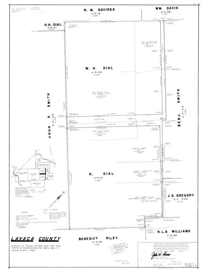
Lavaca County Rolled Sketch 5
10288.tif
Print $40.00 - Digital $50.00

Lavaca County Rolled Sketch 5

Size: 37.0 x 49.1 inches
10288
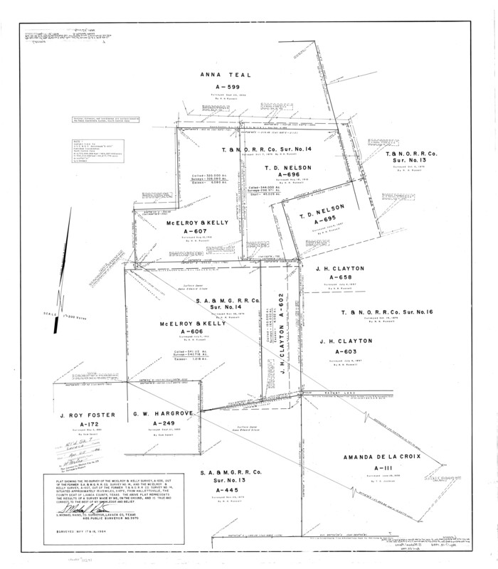
Lavaca County Rolled Sketch 8
10289.tif
Print $40.00 - Digital $50.00

Lavaca County Rolled Sketch 8

Size: 66.4 x 38.8 inches
10289
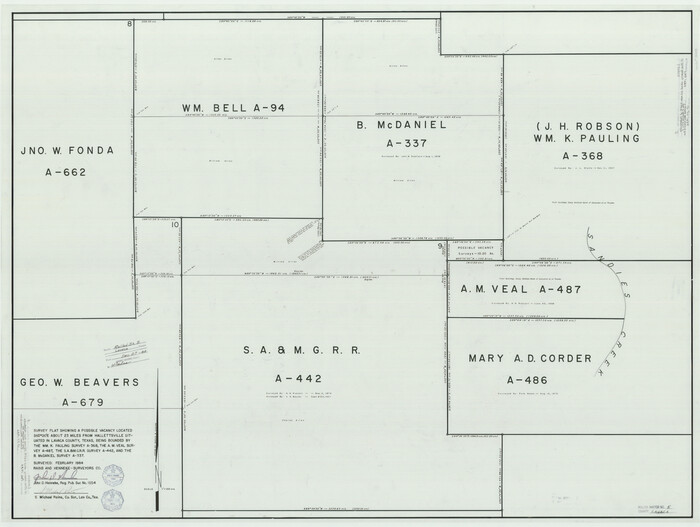
Lavaca County Rolled Sketch 6
10290.tif
Print $20.00 - Digital $50.00

Lavaca County Rolled Sketch 6

1986

Size: 44.8 x 33.9 inches
10290
Lavaca County Rolled Sketch 7
10291.tif
Print $20.00 - Digital $50.00

Lavaca County Rolled Sketch 7

Size: 37.4 x 32.7 inches
10291
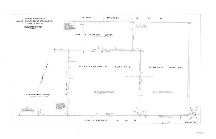
Lavaca County Sketch File 21
10520, Lavaca County Sketch File 21, General Map Collection
Print $40.00 - Digital $50.00

Lavaca County Sketch File 21

1951

Size: 60.6 x 39.1 inches
10520
Colorado County Sketch File 12
11135, Colorado County Sketch File 12, General Map Collection
Print $20.00 - Digital $50.00

Colorado County Sketch File 12

Size: 14.6 x 17.8 inches
11135
[Gonzales District]
16837.tif
Print $20.00 - Digital $50.00

[Gonzales District]

1840

Size: 42.8 x 37.0 inches
16837
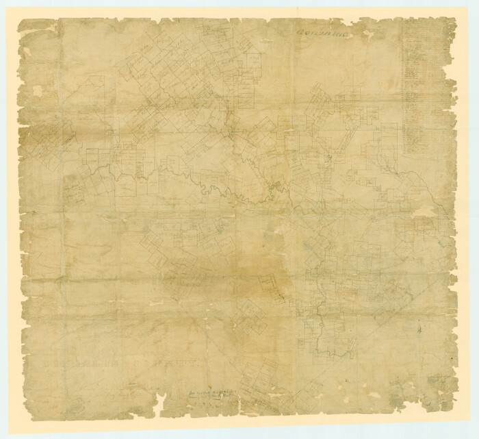
A Map of Gonzales County
16838.tif
Print $20.00 - Digital $50.00

A Map of Gonzales County

1838

Size: 34.7 x 39.2 inches
16838
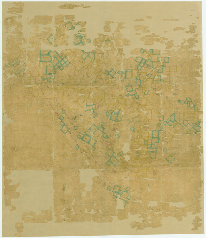
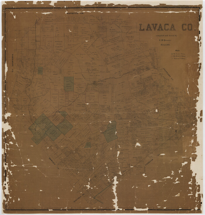
Lavaca Co.
16875.tif
Print $20.00 - Digital $50.00

Lavaca Co.

1896

Size: 44.9 x 42.9 inches
16875
Plot of a survey made to connect the surveys in Jackson County with those heretofore made in connection with Colorado County
188.tif
Print $2.00 - Digital $50.00

Plot of a survey made to connect the surveys in Jackson County with those heretofore made in connection with Colorado County

1847

Size: 12.8 x 7.7 inches
188
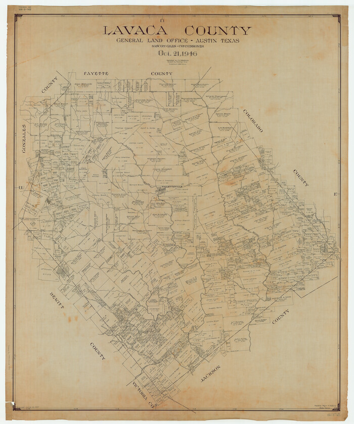
Lavaca County
1881-GC.tif
Print $40.00 - Digital $50.00

Lavaca County

1946

Size: 52.1 x 43.5 inches
1881
Colorado County Sketch File 18
18950, Colorado County Sketch File 18, General Map Collection
Print $40.00 - Digital $50.00

Colorado County Sketch File 18

1897

Size: 12.5 x 15.8 inches
18950
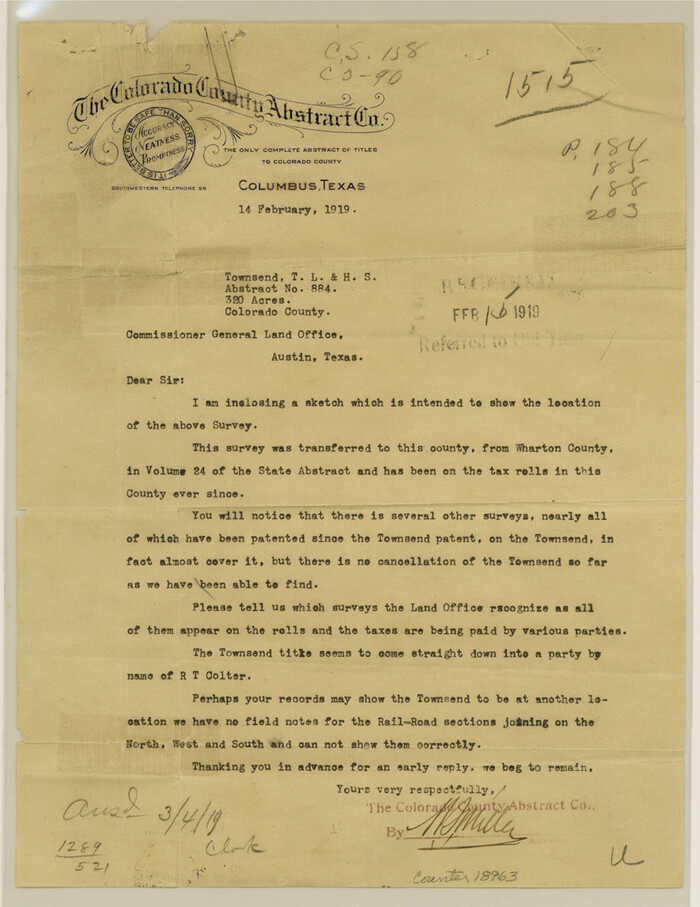
Colorado County Sketch File 25
18963, Colorado County Sketch File 25, General Map Collection
Print $8.00 - Digital $50.00

Colorado County Sketch File 25

1919

Size: 11.5 x 8.8 inches
18963
Colorado County Sketch File 34
18992, Colorado County Sketch File 34, General Map Collection
Print $86.00 - Digital $50.00

Colorado County Sketch File 34

1996

Size: 14.2 x 8.8 inches
18992
Connected Map of DeWitt's Colony compiled from the surveys of Byrd Lockhart
1942.tif
Print $40.00 - Digital $50.00

Connected Map of DeWitt's Colony compiled from the surveys of Byrd Lockhart

Size: 39.2 x 54.0 inches
1942
Connected Map of the County of Victoria
1946.tif
Print $40.00 - Digital $50.00

Connected Map of the County of Victoria

1838
Size: 79.7 x 49.0 inches
1946
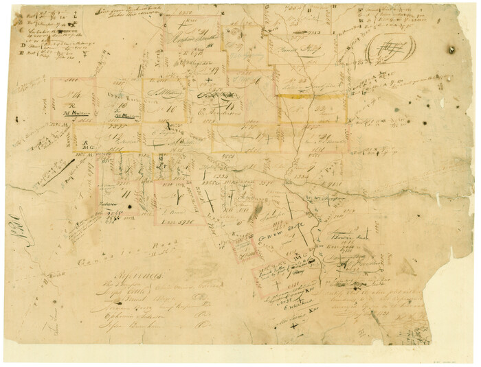
[Surveys in Austin's Colony along the Navidad River, Caney Fork, and upper Rocky Creek]
201.tif
Print $20.00 - Digital $50.00

[Surveys in Austin's Colony along the Navidad River, Caney Fork, and upper Rocky Creek]

1831

Size: 20.5 x 26.7 inches
201
DeWitt County Sketch File 2
20799, DeWitt County Sketch File 2, General Map Collection
Print $40.00 - Digital $50.00

DeWitt County Sketch File 2

1868

Size: 13.0 x 12.2 inches
20799
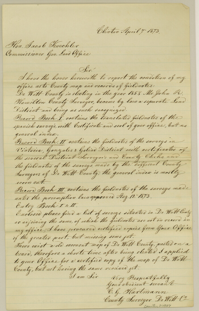
DeWitt County Sketch File 14
20827, DeWitt County Sketch File 14, General Map Collection
Print $8.00 - Digital $50.00

DeWitt County Sketch File 14

1873

Size: 12.8 x 8.2 inches
20827
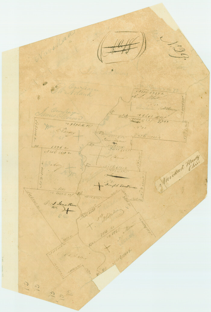
[Surveys in Austin's Colony on both sides of the Navidad River]
217.tif
Print $20.00 - Digital $50.00

[Surveys in Austin's Colony on both sides of the Navidad River]

1831

Size: 18.8 x 12.7 inches
217
Jackson County Sketch File 3
27621, Jackson County Sketch File 3, General Map Collection
Print $34.00 - Digital $50.00

Jackson County Sketch File 3

1875

Size: 7.9 x 7.7 inches
27621
Jackson County Sketch File 6a
27634, Jackson County Sketch File 6a, General Map Collection
Print $30.00 - Digital $50.00

Jackson County Sketch File 6a

1894

Size: 13.6 x 8.8 inches
27634
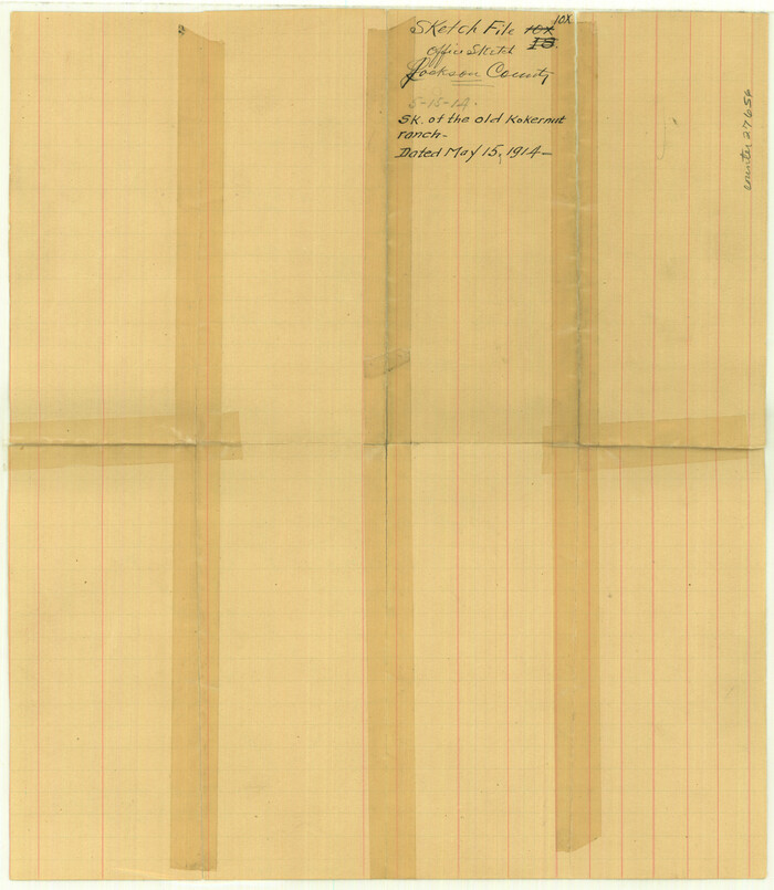
Jackson County Sketch File 10x
27656, Jackson County Sketch File 10x, General Map Collection
Print $40.00 - Digital $50.00

Jackson County Sketch File 10x

1914

Size: 13.8 x 12.0 inches
27656
Lavaca County Sketch File 1
29628, Lavaca County Sketch File 1, General Map Collection
Print $4.00 - Digital $50.00

Lavaca County Sketch File 1

1848

Size: 12.7 x 8.2 inches
29628
Lavaca County Sketch File 2
29630, Lavaca County Sketch File 2, General Map Collection
Print $6.00 - Digital $50.00

Lavaca County Sketch File 2

1849

Size: 8.7 x 7.5 inches
29630
Lavaca County Sketch File 3
29633, Lavaca County Sketch File 3, General Map Collection
Print $8.00 - Digital $50.00

Lavaca County Sketch File 3

1853

Size: 10.1 x 9.8 inches
29633
Lavaca County Sketch File 4
29636, Lavaca County Sketch File 4, General Map Collection
Print $6.00 - Digital $50.00

Lavaca County Sketch File 4

Size: 8.2 x 15.3 inches
29636
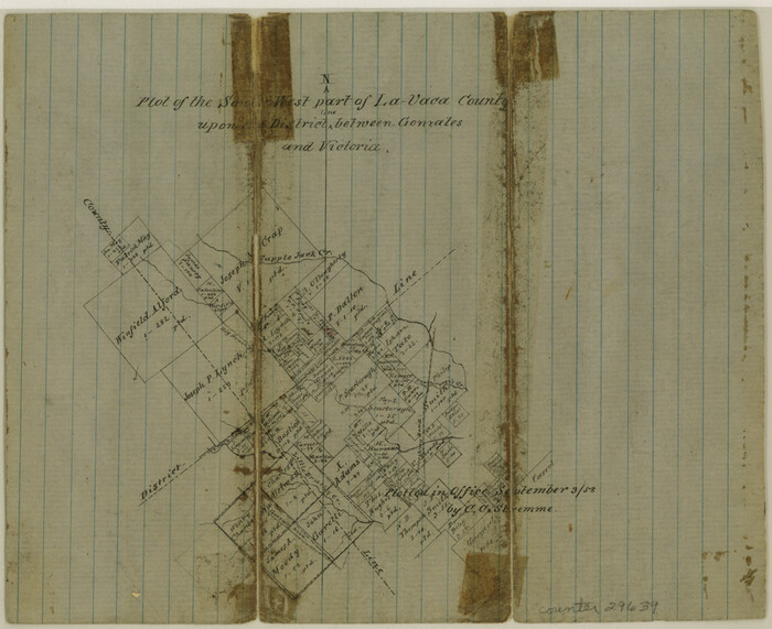
Lavaca County Sketch File 5
29639, Lavaca County Sketch File 5, General Map Collection
Print $4.00 - Digital $50.00

Lavaca County Sketch File 5

1858

Size: 8.2 x 10.1 inches
29639
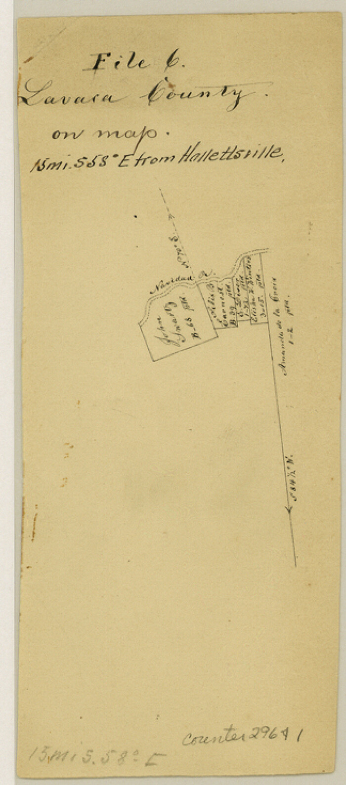
Lavaca County Sketch File 6
29641, Lavaca County Sketch File 6, General Map Collection
Print $2.00 - Digital $50.00

Lavaca County Sketch File 6

Size: 7.3 x 3.2 inches
29641
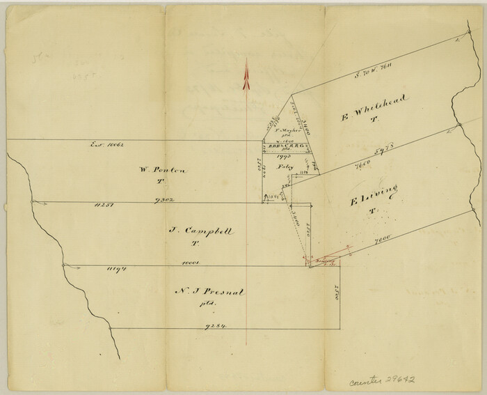
Lavaca County Sketch File 7
29642, Lavaca County Sketch File 7, General Map Collection
Print $4.00 - Digital $50.00

Lavaca County Sketch File 7

1873

Size: 7.9 x 9.8 inches
29642
Lavaca County Rolled Sketch 5
10288, Lavaca County Rolled Sketch 5, General Map Collection
Print $40.00 - Digital $50.00

Lavaca County Rolled Sketch 5

  • Size

    37.0 x 49.1 inches

  • Map/Doc

    10288

Lavaca County Rolled Sketch 8
10289, Lavaca County Rolled Sketch 8, General Map Collection
Print $40.00 - Digital $50.00

Lavaca County Rolled Sketch 8

  • Size

    66.4 x 38.8 inches

  • Map/Doc

    10289

Lavaca County Rolled Sketch 6
10290, Lavaca County Rolled Sketch 6, General Map Collection
Print $20.00 - Digital $50.00

Lavaca County Rolled Sketch 6

1986

  • Size

    44.8 x 33.9 inches

  • Map/Doc

    10290

  • Creation Date

    1986

Lavaca County Rolled Sketch 7
10291, Lavaca County Rolled Sketch 7, General Map Collection
Print $20.00 - Digital $50.00

Lavaca County Rolled Sketch 7

  • Size

    37.4 x 32.7 inches

  • Map/Doc

    10291

Lavaca County Sketch File 21
10520, Lavaca County Sketch File 21, General Map Collection
Print $40.00 - Digital $50.00

Lavaca County Sketch File 21

1951

  • Size

    60.6 x 39.1 inches

  • Map/Doc

    10520

  • Creation Date

    1951

Colorado County Sketch File 12
11135, Colorado County Sketch File 12, General Map Collection
Print $20.00 - Digital $50.00

Colorado County Sketch File 12

  • Size

    14.6 x 17.8 inches

  • Map/Doc

    11135

[Gonzales District]
16837, [Gonzales District], General Map Collection
Print $20.00 - Digital $50.00

[Gonzales District]

1840

  • Size

    42.8 x 37.0 inches

  • Map/Doc

    16837

  • Creation Date

    1840

A Map of Gonzales County
16838, A Map of Gonzales County, General Map Collection
Print $20.00 - Digital $50.00

A Map of Gonzales County

1838

  • Size

    34.7 x 39.2 inches

  • Map/Doc

    16838

  • Creation Date

    1838

Lavaca Co.
16875, Lavaca Co., General Map Collection
Print $20.00 - Digital $50.00

Lavaca Co.

1896

  • Size

    44.9 x 42.9 inches

  • Map/Doc

    16875

  • Creation Date

    1896

Plot of a survey made to connect the surveys in Jackson County with those heretofore made in connection with Colorado County
188, Plot of a survey made to connect the surveys in Jackson County with those heretofore made in connection with Colorado County, General Map Collection
Print $2.00 - Digital $50.00

Plot of a survey made to connect the surveys in Jackson County with those heretofore made in connection with Colorado County

1847

  • Size

    12.8 x 7.7 inches

  • Map/Doc

    188

  • Creation Date

    1847

Lavaca County
1881, Lavaca County, General Map Collection
Print $40.00 - Digital $50.00

Lavaca County

1946

  • Size

    52.1 x 43.5 inches

  • Map/Doc

    1881

  • Creation Date

    1946

Colorado County Sketch File 18
18950, Colorado County Sketch File 18, General Map Collection
Print $40.00 - Digital $50.00

Colorado County Sketch File 18

1897

  • Size

    12.5 x 15.8 inches

  • Map/Doc

    18950

  • Creation Date

    1897

Colorado County Sketch File 25
18963, Colorado County Sketch File 25, General Map Collection
Print $8.00 - Digital $50.00

Colorado County Sketch File 25

1919

  • Size

    11.5 x 8.8 inches

  • Map/Doc

    18963

  • Creation Date

    1919

Colorado County Sketch File 34
18992, Colorado County Sketch File 34, General Map Collection
Print $86.00 - Digital $50.00

Colorado County Sketch File 34

1996

  • Size

    14.2 x 8.8 inches

  • Map/Doc

    18992

  • Creation Date

    1996

Connected Map of DeWitt's Colony compiled from the surveys of Byrd Lockhart
1942, Connected Map of DeWitt's Colony compiled from the surveys of Byrd Lockhart, General Map Collection
Print $40.00 - Digital $50.00

Connected Map of DeWitt's Colony compiled from the surveys of Byrd Lockhart

  • Size

    39.2 x 54.0 inches

  • Map/Doc

    1942

Connected Map of the County of Victoria
1946, Connected Map of the County of Victoria, General Map Collection
Print $40.00 - Digital $50.00

Connected Map of the County of Victoria

1838

  • Size

    79.7 x 49.0 inches

  • Map/Doc

    1946

  • Creation Date

    1838

[Surveys in Austin's Colony along the Navidad River, Caney Fork, and upper Rocky Creek]
201, [Surveys in Austin's Colony along the Navidad River, Caney Fork, and upper Rocky Creek], General Map Collection
Print $20.00 - Digital $50.00

[Surveys in Austin's Colony along the Navidad River, Caney Fork, and upper Rocky Creek]

1831

  • Size

    20.5 x 26.7 inches

  • Map/Doc

    201

  • Creation Date

    1831

DeWitt County Sketch File 2
20799, DeWitt County Sketch File 2, General Map Collection
Print $40.00 - Digital $50.00

DeWitt County Sketch File 2

1868

  • Size

    13.0 x 12.2 inches

  • Map/Doc

    20799

  • Creation Date

    1868

DeWitt County Sketch File 14
20827, DeWitt County Sketch File 14, General Map Collection
Print $8.00 - Digital $50.00

DeWitt County Sketch File 14

1873

  • Size

    12.8 x 8.2 inches

  • Map/Doc

    20827

  • Creation Date

    1873

[Surveys in Austin's Colony on both sides of the Navidad River]
217, [Surveys in Austin's Colony on both sides of the Navidad River], General Map Collection
Print $20.00 - Digital $50.00

[Surveys in Austin's Colony on both sides of the Navidad River]

1831

  • Size

    18.8 x 12.7 inches

  • Map/Doc

    217

  • Creation Date

    1831

Jackson County Sketch File 3
27621, Jackson County Sketch File 3, General Map Collection
Print $34.00 - Digital $50.00

Jackson County Sketch File 3

1875

  • Size

    7.9 x 7.7 inches

  • Map/Doc

    27621

  • Creation Date

    1875

Jackson County Sketch File 6a
27634, Jackson County Sketch File 6a, General Map Collection
Print $30.00 - Digital $50.00

Jackson County Sketch File 6a

1894

  • Size

    13.6 x 8.8 inches

  • Map/Doc

    27634

  • Creation Date

    1894

Jackson County Sketch File 10x
27656, Jackson County Sketch File 10x, General Map Collection
Print $40.00 - Digital $50.00

Jackson County Sketch File 10x

1914

  • Size

    13.8 x 12.0 inches

  • Map/Doc

    27656

  • Creation Date

    1914

Lavaca County Sketch File 1
29628, Lavaca County Sketch File 1, General Map Collection
Print $4.00 - Digital $50.00

Lavaca County Sketch File 1

1848

  • Size

    12.7 x 8.2 inches

  • Map/Doc

    29628

  • Creation Date

    1848

Lavaca County Sketch File 2
29630, Lavaca County Sketch File 2, General Map Collection
Print $6.00 - Digital $50.00

Lavaca County Sketch File 2

1849

  • Size

    8.7 x 7.5 inches

  • Map/Doc

    29630

  • Creation Date

    1849

Lavaca County Sketch File 3
29633, Lavaca County Sketch File 3, General Map Collection
Print $8.00 - Digital $50.00

Lavaca County Sketch File 3

1853

  • Size

    10.1 x 9.8 inches

  • Map/Doc

    29633

  • Creation Date

    1853

Lavaca County Sketch File 4
29636, Lavaca County Sketch File 4, General Map Collection
Print $6.00 - Digital $50.00

Lavaca County Sketch File 4

  • Size

    8.2 x 15.3 inches

  • Map/Doc

    29636

Lavaca County Sketch File 5
29639, Lavaca County Sketch File 5, General Map Collection
Print $4.00 - Digital $50.00

Lavaca County Sketch File 5

1858

  • Size

    8.2 x 10.1 inches

  • Map/Doc

    29639

  • Creation Date

    1858

Lavaca County Sketch File 6
29641, Lavaca County Sketch File 6, General Map Collection
Print $2.00 - Digital $50.00

Lavaca County Sketch File 6

  • Size

    7.3 x 3.2 inches

  • Map/Doc

    29641

Lavaca County Sketch File 7
29642, Lavaca County Sketch File 7, General Map Collection
Print $4.00 - Digital $50.00

Lavaca County Sketch File 7

1873

  • Size

    7.9 x 9.8 inches

  • Map/Doc

    29642

  • Creation Date

    1873