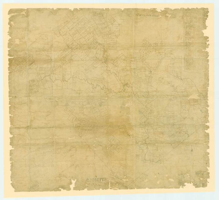
A Map of Gonzales County

Print $20.00
- Digital $50.00
A Map of Gonzales County
1838
Size: 34.7 x 39.2 inches
16838
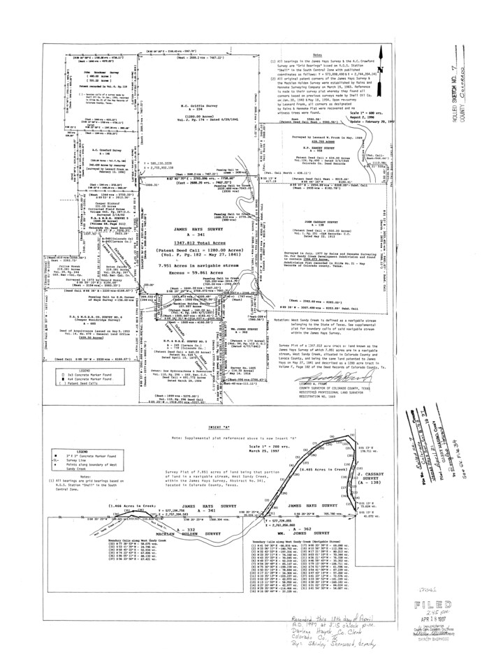
Colorado County Rolled Sketch 7

Print $20.00
- Digital $50.00
Colorado County Rolled Sketch 7
1997
Size: 26.2 x 19.1 inches
5534
Colorado County Sketch File 12


Print $20.00
- Digital $50.00
Colorado County Sketch File 12
Size: 14.6 x 17.8 inches
11135
Colorado County Sketch File 18


Print $40.00
- Digital $50.00
Colorado County Sketch File 18
1897
Size: 12.5 x 15.8 inches
18950
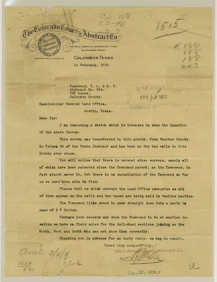
Colorado County Sketch File 25

Print $8.00
- Digital $50.00
Colorado County Sketch File 25
1919
Size: 11.5 x 8.8 inches
18963
Colorado County Sketch File 34


Print $86.00
- Digital $50.00
Colorado County Sketch File 34
1996
Size: 14.2 x 8.8 inches
18992
Colorado County Sketch File 35


Print $13.00
- Digital $50.00
Colorado County Sketch File 35
2005
Size: 44.0 x 28.0 inches
83564
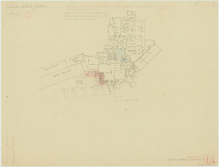
Colorado County Working Sketch 1

Print $20.00
- Digital $50.00
Colorado County Working Sketch 1
1897
Size: 16.2 x 21.3 inches
68101
Colorado County Working Sketch 13
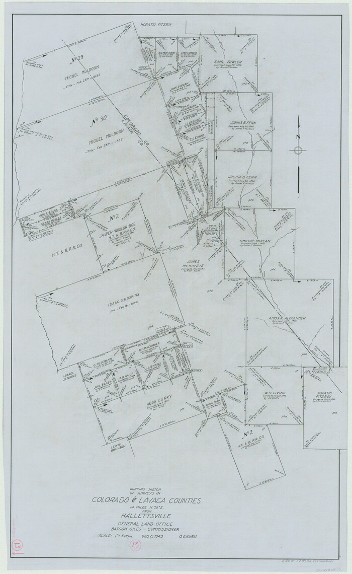

Print $20.00
- Digital $50.00
Colorado County Working Sketch 13
1943
Size: 37.9 x 23.3 inches
68113
Colorado County Working Sketch 7
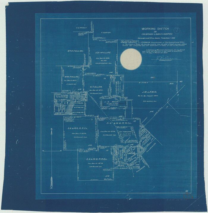

Print $20.00
- Digital $50.00
Colorado County Working Sketch 7
1922
Size: 23.8 x 23.2 inches
68107
Connected Map of DeWitt's Colony compiled from the surveys of Byrd Lockhart


Print $40.00
- Digital $50.00
Connected Map of DeWitt's Colony compiled from the surveys of Byrd Lockhart
1831
Size: 39.2 x 54.0 inches
1942
Connected Map of the County of Victoria


Print $40.00
- Digital $50.00
Connected Map of the County of Victoria
1838
Size: 79.7 x 49.0 inches
1946
DeWitt County Rolled Sketch 1
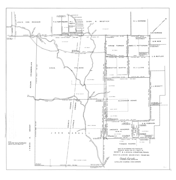

Print $20.00
- Digital $50.00
DeWitt County Rolled Sketch 1
1940
Size: 40.5 x 39.5 inches
8777
DeWitt County Sketch File 14
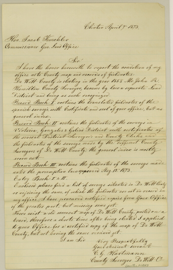

Print $8.00
- Digital $50.00
DeWitt County Sketch File 14
1873
Size: 12.8 x 8.2 inches
20827
DeWitt County Sketch File 2


Print $40.00
- Digital $50.00
DeWitt County Sketch File 2
1868
Size: 13.0 x 12.2 inches
20799
DeWitt County Working Sketch 2a
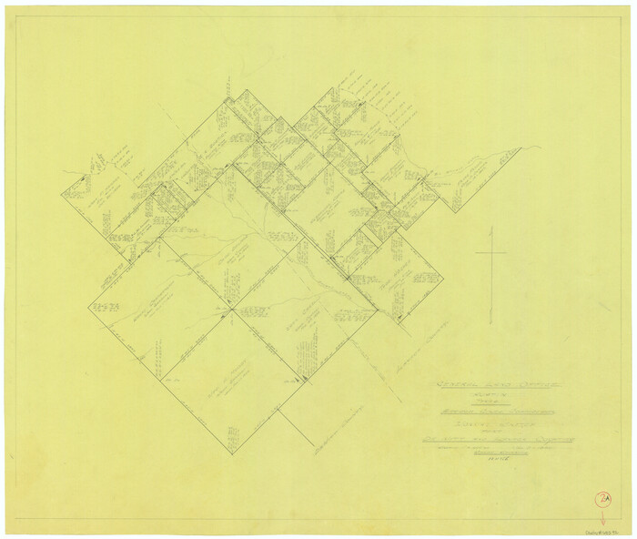

Print $20.00
- Digital $50.00
DeWitt County Working Sketch 2a
1940
Size: 25.2 x 29.8 inches
68592
DeWitt County Working Sketch 2b
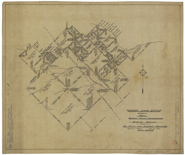

Print $20.00
- Digital $50.00
DeWitt County Working Sketch 2b
1940
Size: 25.1 x 30.0 inches
68647
English Field Notes of the Spanish Archives - Book 1


English Field Notes of the Spanish Archives - Book 1
1833
96527
English Field Notes of the Spanish Archives - Book 10


English Field Notes of the Spanish Archives - Book 10
1835
96536
English Field Notes of the Spanish Archives - Book 2


English Field Notes of the Spanish Archives - Book 2
1835
96528
English Field Notes of the Spanish Archives - Book 5


English Field Notes of the Spanish Archives - Book 5
1835
96531
English Field Notes of the Spanish Archives - Book 7


English Field Notes of the Spanish Archives - Book 7
1835
96533
English Field Notes of the Spanish Archives - Book Lockhart


English Field Notes of the Spanish Archives - Book Lockhart
1832
96539
General Highway Map, Lavaca County, Texas
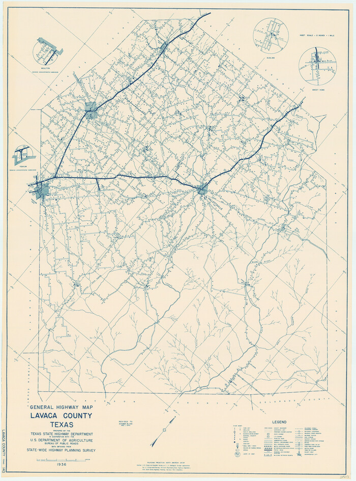

Print $20.00
General Highway Map, Lavaca County, Texas
1940
Size: 24.7 x 18.3 inches
79170
General Highway Map, Lavaca County, Texas


Print $20.00
General Highway Map, Lavaca County, Texas
1961
Size: 24.6 x 18.1 inches
79566
Jackson County Sketch File 10x

Print $40.00
- Digital $50.00
Jackson County Sketch File 10x
1914
Size: 13.8 x 12.0 inches
27656
Jackson County Sketch File 3


Print $34.00
- Digital $50.00
Jackson County Sketch File 3
1875
Size: 7.9 x 7.7 inches
27621
Jackson County Sketch File 6a


Print $30.00
- Digital $50.00
Jackson County Sketch File 6a
1894
Size: 13.6 x 8.8 inches
27634
Jackson County Working Sketch 7


Print $20.00
- Digital $50.00
Jackson County Working Sketch 7
1973
Size: 35.7 x 27.1 inches
66455
Jackson County Working Sketch 8
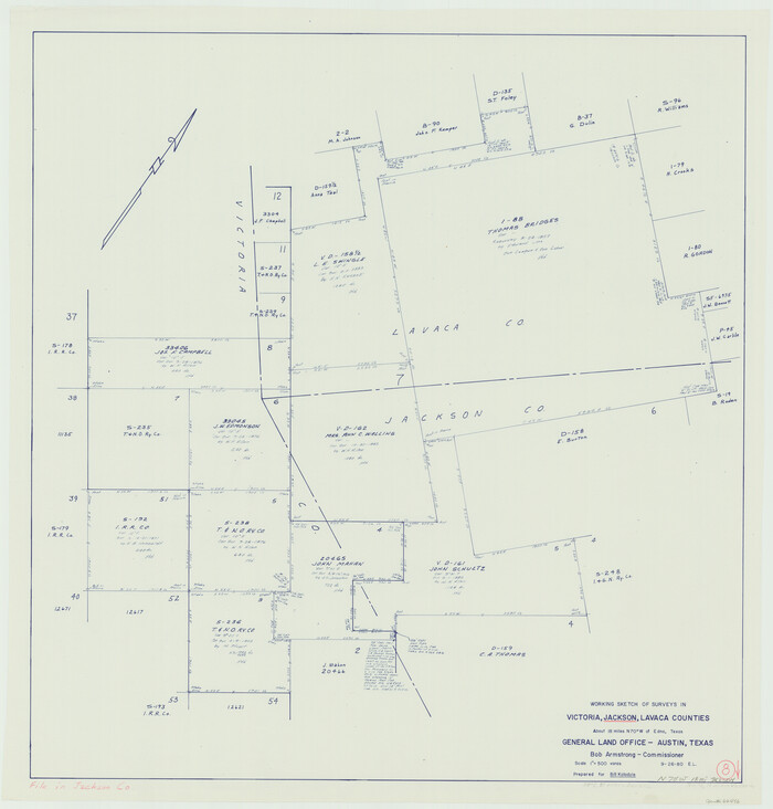

Print $20.00
- Digital $50.00
Jackson County Working Sketch 8
1980
Size: 30.4 x 29.0 inches
66456
A Map of Gonzales County


Print $20.00
- Digital $50.00
A Map of Gonzales County
1838
-
Size
34.7 x 39.2 inches
-
Map/Doc
16838
-
Creation Date
1838
Colorado County Rolled Sketch 7


Print $20.00
- Digital $50.00
Colorado County Rolled Sketch 7
1997
-
Size
26.2 x 19.1 inches
-
Map/Doc
5534
-
Creation Date
1997
Colorado County Sketch File 12


Print $20.00
- Digital $50.00
Colorado County Sketch File 12
-
Size
14.6 x 17.8 inches
-
Map/Doc
11135
Colorado County Sketch File 18


Print $40.00
- Digital $50.00
Colorado County Sketch File 18
1897
-
Size
12.5 x 15.8 inches
-
Map/Doc
18950
-
Creation Date
1897
Colorado County Sketch File 25


Print $8.00
- Digital $50.00
Colorado County Sketch File 25
1919
-
Size
11.5 x 8.8 inches
-
Map/Doc
18963
-
Creation Date
1919
Colorado County Sketch File 34


Print $86.00
- Digital $50.00
Colorado County Sketch File 34
1996
-
Size
14.2 x 8.8 inches
-
Map/Doc
18992
-
Creation Date
1996
Colorado County Sketch File 35


Print $13.00
- Digital $50.00
Colorado County Sketch File 35
2005
-
Size
44.0 x 28.0 inches
-
Map/Doc
83564
-
Creation Date
2005
Colorado County Working Sketch 1


Print $20.00
- Digital $50.00
Colorado County Working Sketch 1
1897
-
Size
16.2 x 21.3 inches
-
Map/Doc
68101
-
Creation Date
1897
Colorado County Working Sketch 13


Print $20.00
- Digital $50.00
Colorado County Working Sketch 13
1943
-
Size
37.9 x 23.3 inches
-
Map/Doc
68113
-
Creation Date
1943
Colorado County Working Sketch 7


Print $20.00
- Digital $50.00
Colorado County Working Sketch 7
1922
-
Size
23.8 x 23.2 inches
-
Map/Doc
68107
-
Creation Date
1922
Connected Map of DeWitt's Colony compiled from the surveys of Byrd Lockhart


Print $40.00
- Digital $50.00
Connected Map of DeWitt's Colony compiled from the surveys of Byrd Lockhart
1831
-
Size
39.2 x 54.0 inches
-
Map/Doc
1942
-
Creation Date
1831
Connected Map of the County of Victoria


Print $40.00
- Digital $50.00
Connected Map of the County of Victoria
1838
-
Size
79.7 x 49.0 inches
-
Map/Doc
1946
-
Creation Date
1838
DeWitt County Rolled Sketch 1


Print $20.00
- Digital $50.00
DeWitt County Rolled Sketch 1
1940
-
Size
40.5 x 39.5 inches
-
Map/Doc
8777
-
Creation Date
1940
DeWitt County Sketch File 14


Print $8.00
- Digital $50.00
DeWitt County Sketch File 14
1873
-
Size
12.8 x 8.2 inches
-
Map/Doc
20827
-
Creation Date
1873
DeWitt County Sketch File 2


Print $40.00
- Digital $50.00
DeWitt County Sketch File 2
1868
-
Size
13.0 x 12.2 inches
-
Map/Doc
20799
-
Creation Date
1868
DeWitt County Working Sketch 2a


Print $20.00
- Digital $50.00
DeWitt County Working Sketch 2a
1940
-
Size
25.2 x 29.8 inches
-
Map/Doc
68592
-
Creation Date
1940
DeWitt County Working Sketch 2b


Print $20.00
- Digital $50.00
DeWitt County Working Sketch 2b
1940
-
Size
25.1 x 30.0 inches
-
Map/Doc
68647
-
Creation Date
1940
English Field Notes of the Spanish Archives - Book 1


English Field Notes of the Spanish Archives - Book 1
1833
-
Map/Doc
96527
-
Creation Date
1833
English Field Notes of the Spanish Archives - Book 10


English Field Notes of the Spanish Archives - Book 10
1835
-
Map/Doc
96536
-
Creation Date
1835
English Field Notes of the Spanish Archives - Book 2


English Field Notes of the Spanish Archives - Book 2
1835
-
Map/Doc
96528
-
Creation Date
1835
English Field Notes of the Spanish Archives - Book 5


English Field Notes of the Spanish Archives - Book 5
1835
-
Map/Doc
96531
-
Creation Date
1835
English Field Notes of the Spanish Archives - Book 7


English Field Notes of the Spanish Archives - Book 7
1835
-
Map/Doc
96533
-
Creation Date
1835
English Field Notes of the Spanish Archives - Book Lockhart


English Field Notes of the Spanish Archives - Book Lockhart
1832
-
Map/Doc
96539
-
Creation Date
1832
General Highway Map, Lavaca County, Texas


Print $20.00
General Highway Map, Lavaca County, Texas
1940
-
Size
24.7 x 18.3 inches
-
Map/Doc
79170
-
Creation Date
1940
General Highway Map, Lavaca County, Texas


Print $20.00
General Highway Map, Lavaca County, Texas
1961
-
Size
24.6 x 18.1 inches
-
Map/Doc
79566
-
Creation Date
1961
Jackson County Sketch File 10x


Print $40.00
- Digital $50.00
Jackson County Sketch File 10x
1914
-
Size
13.8 x 12.0 inches
-
Map/Doc
27656
-
Creation Date
1914
Jackson County Sketch File 3


Print $34.00
- Digital $50.00
Jackson County Sketch File 3
1875
-
Size
7.9 x 7.7 inches
-
Map/Doc
27621
-
Creation Date
1875
Jackson County Sketch File 6a


Print $30.00
- Digital $50.00
Jackson County Sketch File 6a
1894
-
Size
13.6 x 8.8 inches
-
Map/Doc
27634
-
Creation Date
1894
Jackson County Working Sketch 7


Print $20.00
- Digital $50.00
Jackson County Working Sketch 7
1973
-
Size
35.7 x 27.1 inches
-
Map/Doc
66455
-
Creation Date
1973
Jackson County Working Sketch 8


Print $20.00
- Digital $50.00
Jackson County Working Sketch 8
1980
-
Size
30.4 x 29.0 inches
-
Map/Doc
66456
-
Creation Date
1980